Bolster Moor
Settlement in Yorkshire
England
Bolster Moor
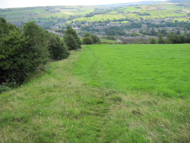
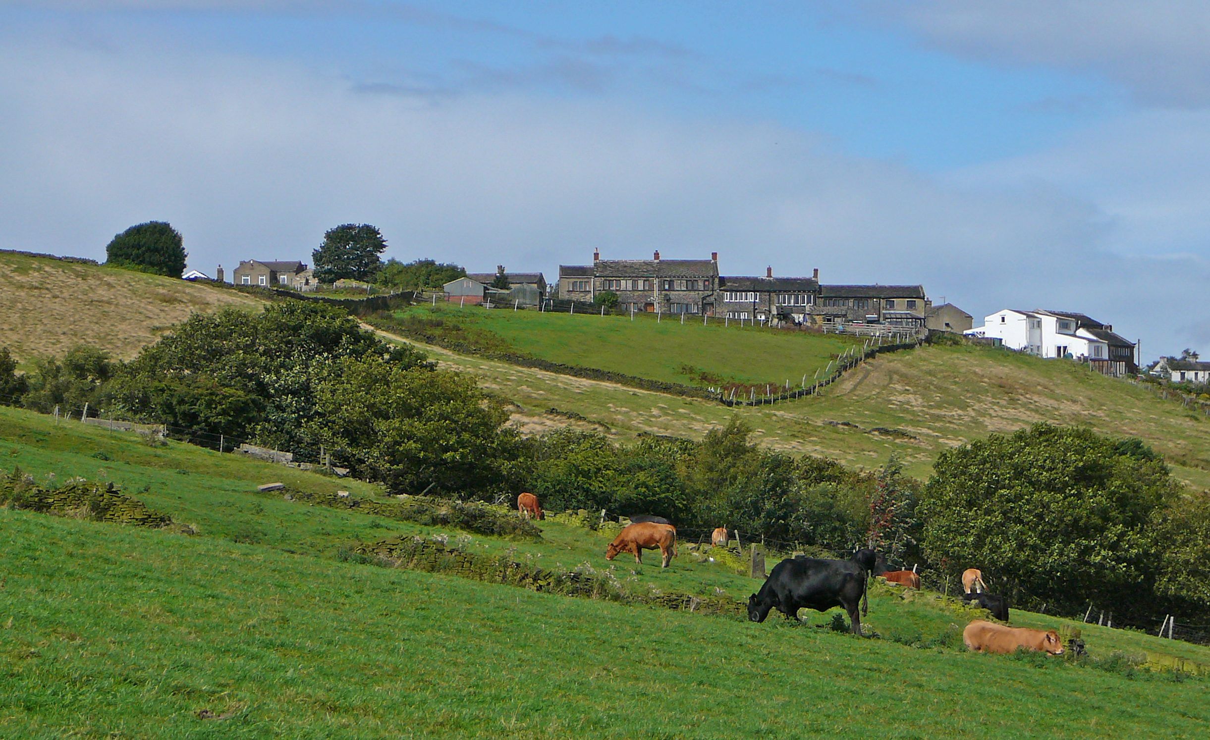
Bolster Moor is a small village located in the metropolitan borough of Kirklees, West Yorkshire, England. Situated approximately 3 miles to the west of Huddersfield, it is nestled among the picturesque Pennine Hills, offering breathtaking views of the surrounding countryside.
Historically, Bolster Moor was primarily an agricultural area, with farming being the main occupation. However, in recent times, it has seen a transition towards a more residential community, with many of its inhabitants commuting to nearby towns and cities for work.
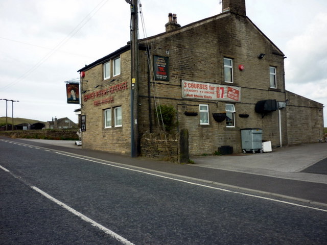
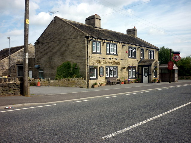
The village itself is relatively small, consisting of a cluster of houses and a few amenities. It has a local primary school, providing education for the younger residents, as well as a village hall that serves as a hub for community activities. Additionally, there is a pub that has become a popular meeting place for locals and visitors alike.
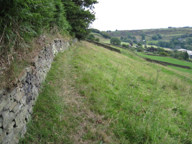
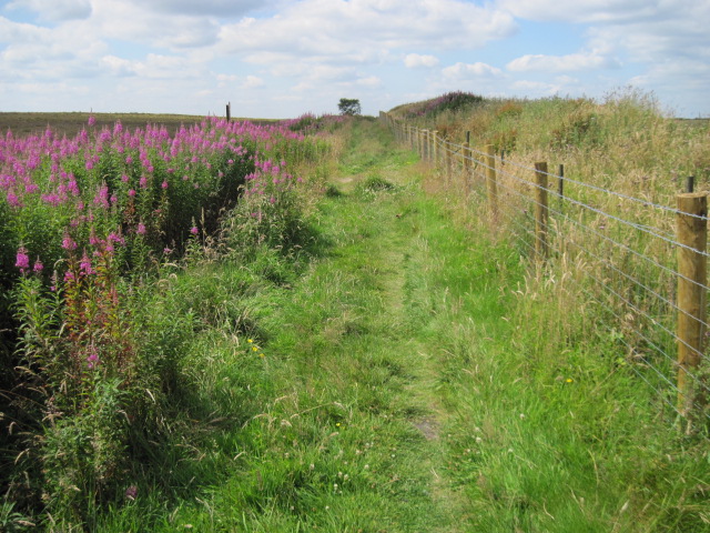
Bolster Moor is also known for its close proximity to landmarks such as Castle Hill, a prominent hilltop monument that offers stunning panoramic views of the area. The village is a haven for nature enthusiasts, with numerous walking trails and green spaces to explore.
Overall, Bolster Moor is a peaceful and scenic village, providing a tranquil escape from the hustle and bustle of nearby urban areas. With its charming countryside setting and strong sense of community, it remains an attractive place to live for those seeking a quieter lifestyle in the heart of Yorkshire.
If you have any feedback on the listing, please let us know in the comments section below.
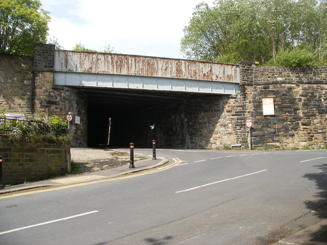
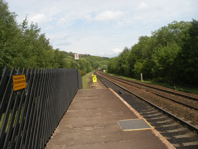
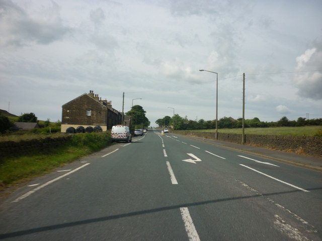
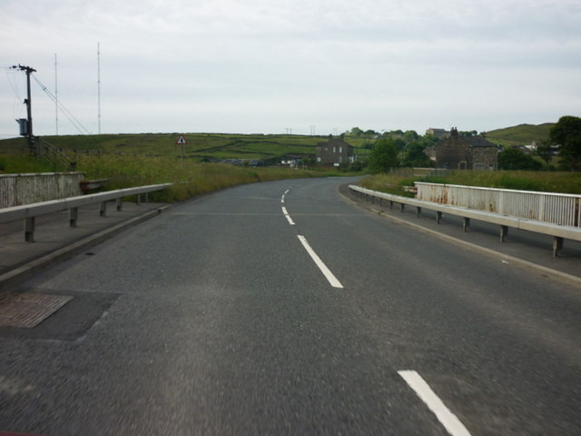
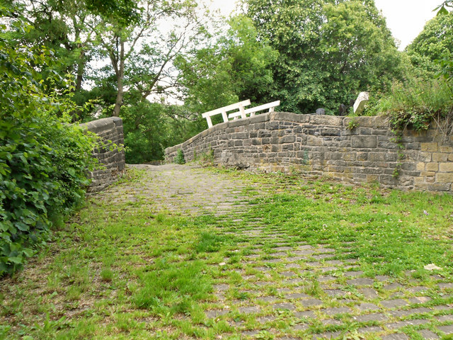
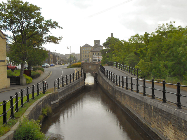
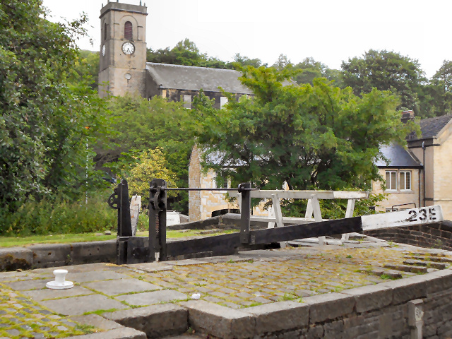
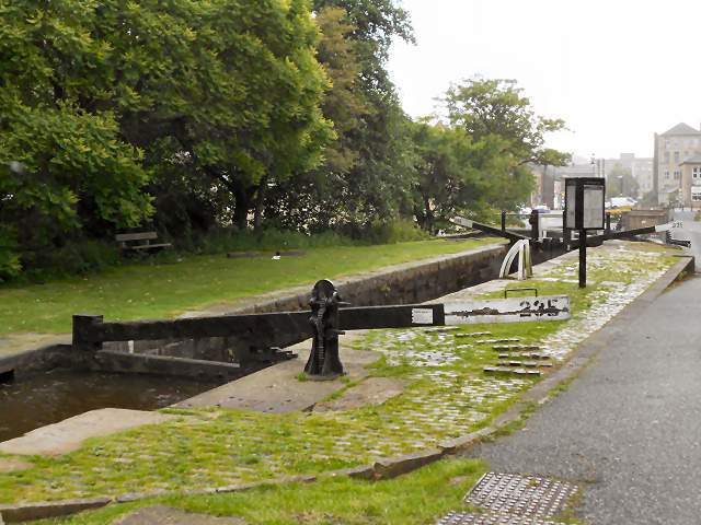
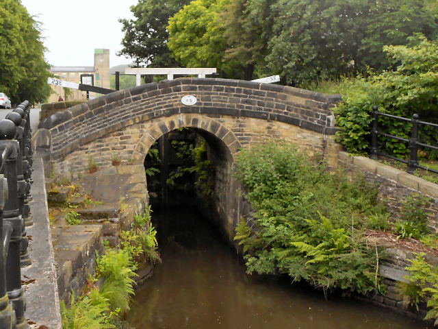
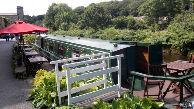
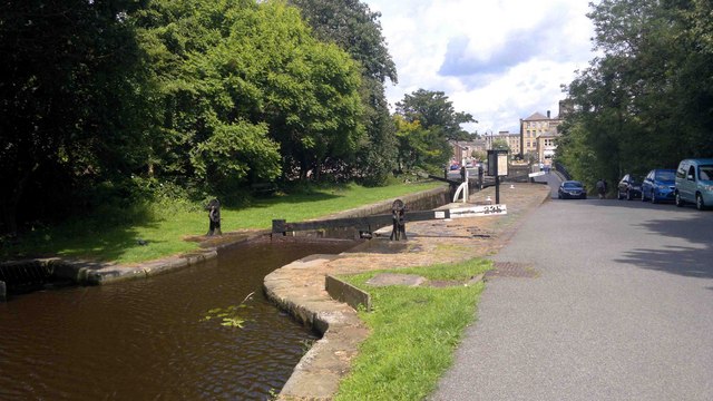
Bolster Moor Images
Images are sourced within 2km of 53.635944/-1.869902 or Grid Reference SE0815. Thanks to Geograph Open Source API. All images are credited.
Bolster Moor is located at Grid Ref: SE0815 (Lat: 53.635944, Lng: -1.869902)
Division: West Riding
Unitary Authority: Kirklees
Police Authority: West Yorkshire
What 3 Words
///spoil.zooms.today. Near Linthwaite, West Yorkshire
Nearby Locations
Related Wikis
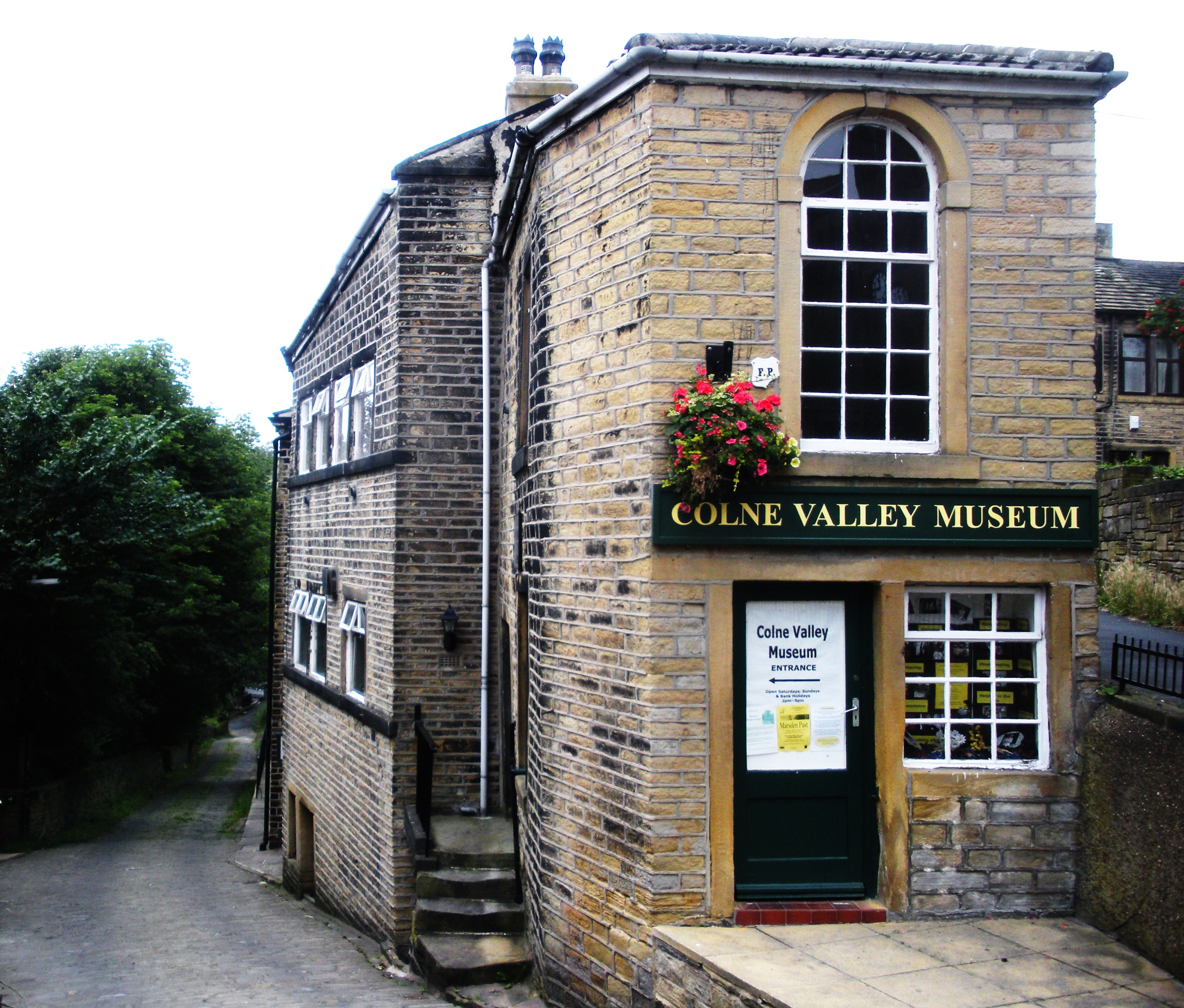
Colne Valley Museum
The Colne Valley Museum is located within the Colne Valley at Golcar, Huddersfield, West Yorkshire, England. The museum consists of four converted 19th...
Scapegoat Hill
Scapegoat Hill is a small village 5 miles (8 km) west of Huddersfield, West Yorkshire, England. It is near to the villages of Slaithwaite and Golcar. The...

Colne Valley
The Colne Valley is a steep sided valley on the east flank of the Pennine Hills in the English county of West Yorkshire. It takes its name from the River...

Golcar railway station
Golcar railway station is a former railway station serving Golcar in West Yorkshire, England that was located between the existing Huddersfield and Slaithwaite...
Nearby Amenities
Located within 500m of 53.635944,-1.869902Have you been to Bolster Moor?
Leave your review of Bolster Moor below (or comments, questions and feedback).