Crimble Clough
Valley in Yorkshire
England
Crimble Clough
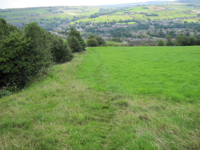
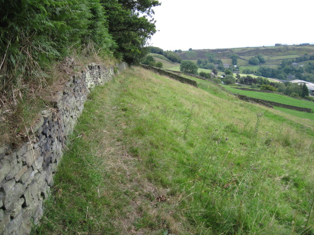
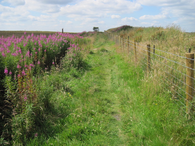
Crimble Clough is a picturesque valley located in Yorkshire, England. Nestled within the rolling hills of the region, this idyllic landscape attracts nature enthusiasts and hikers from far and wide. The valley is situated near the small village of Slaithwaite and encompasses an area of lush greenery and diverse wildlife.
With its tranquil atmosphere and stunning vistas, Crimble Clough offers a haven for those seeking a peaceful retreat. The valley is adorned with a meandering stream that flows through its heart, giving rise to cascading waterfalls along the way. These waterfalls add to the charm of the landscape, creating a soothing soundtrack to accompany visitors on their exploration of the area.
Crimble Clough is a haven for wildlife, with a variety of species calling it home. From birds chirping melodiously in the trees to elusive mammals roaming the forest floor, the valley is rich in biodiversity. Nature enthusiasts can spot a range of animals, including deer, foxes, and various species of birds, as they traverse the trails that wind through the valley.
The valley also serves as a popular destination for hikers and walkers, offering a network of well-maintained paths that allow visitors to explore its beauty. These trails cater to all levels of fitness, from leisurely strolls along the stream to more challenging hikes up the valley's steep slopes. Along the way, hikers can immerse themselves in the tranquility of the surrounding nature, taking in breathtaking views of the valley and the surrounding countryside.
In conclusion, Crimble Clough in Yorkshire is a stunning valley that offers a peaceful and picturesque retreat for nature lovers. Its diverse flora and fauna, scenic waterfalls, and well-maintained trails make it a must-visit destination for those seeking to connect with the natural beauty of Yorkshire.
If you have any feedback on the listing, please let us know in the comments section below.
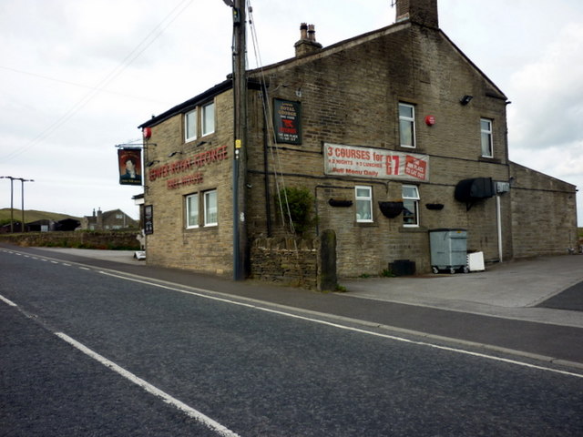
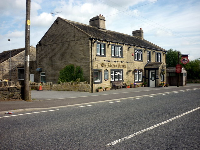
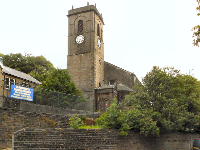
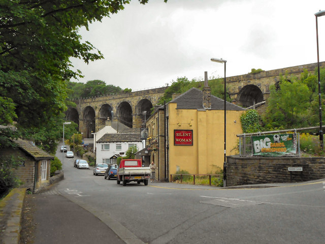
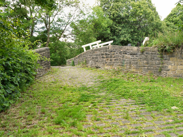
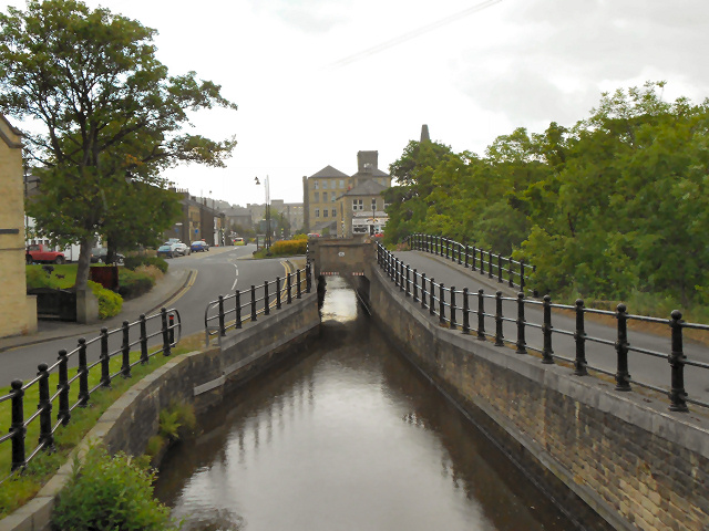
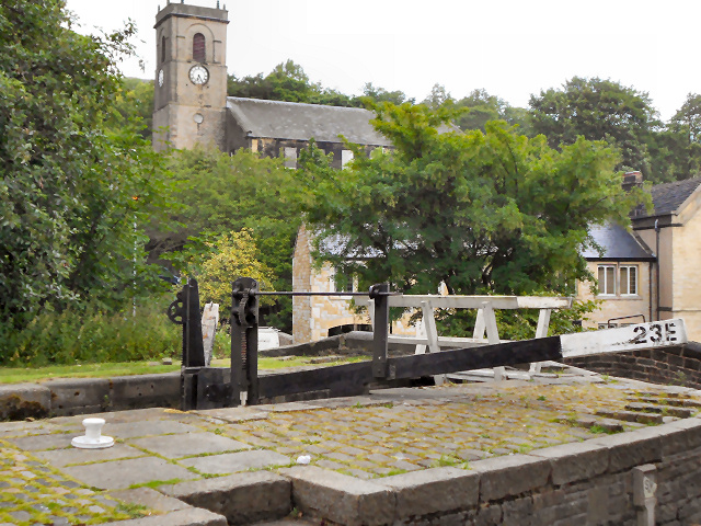
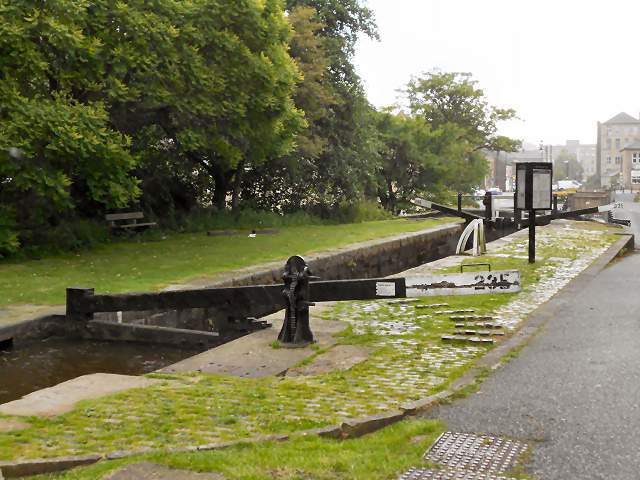
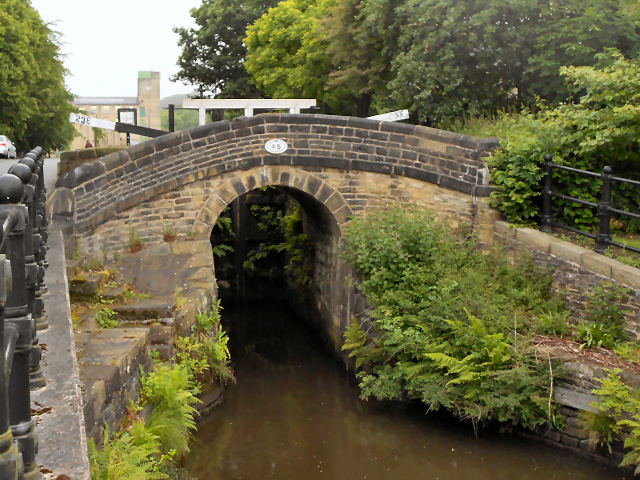
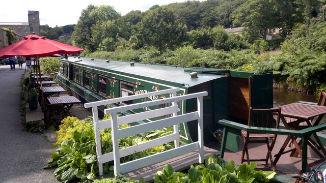
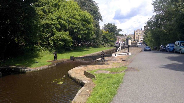
Crimble Clough Images
Images are sourced within 2km of 53.63416/-1.8771037 or Grid Reference SE0815. Thanks to Geograph Open Source API. All images are credited.
Crimble Clough is located at Grid Ref: SE0815 (Lat: 53.63416, Lng: -1.8771037)
Division: West Riding
Unitary Authority: Kirklees
Police Authority: West Yorkshire
What 3 Words
///curvy.cupboards.tedious. Near Linthwaite, West Yorkshire
Nearby Locations
Related Wikis
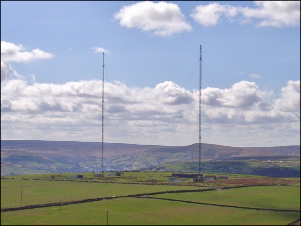
Moorside Edge transmitting station
Moorside Edge transmitting station, opened in 1931, was originally constructed to radiate the BBC's North Regional (from 17 May on 626 kHz) and National...

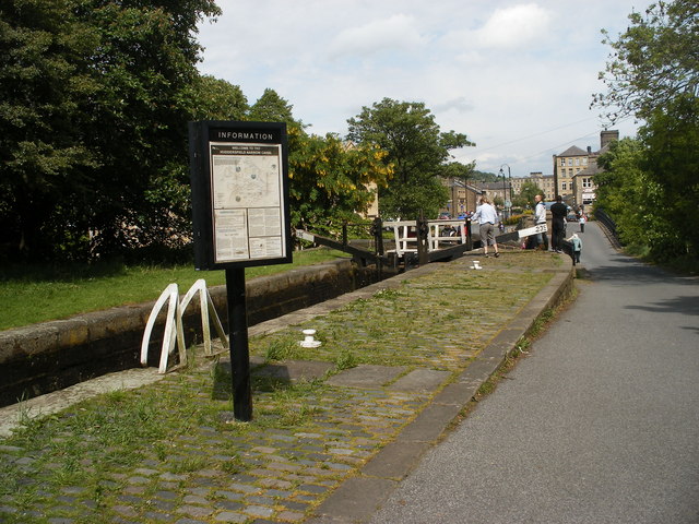
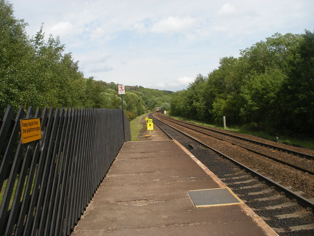
Slaithwaite railway station
Slaithwaite railway station serves the town of Slaithwaite, West Yorkshire, England. The station is 4 miles (6 km) west of Huddersfield railway station...

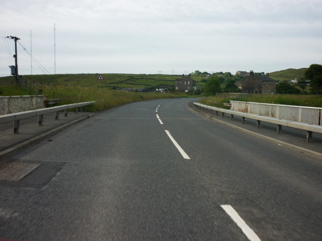
Moorside Edge
The Moorside Edge is a steeply sloping area of moorland at grid reference SE070154 just north of Slaithwaite and about 5 miles (8 km) west of Huddersfield...

Colne Valley
The Colne Valley is a steep sided valley on the east flank of the Pennine Hills in the English county of West Yorkshire. It takes its name from the River...
Nearby Amenities
Located within 500m of 53.63416,-1.8771037Have you been to Crimble Clough?
Leave your review of Crimble Clough below (or comments, questions and feedback).