Clough Head

Settlement in Yorkshire

England

Clough Head

Bridge near Slaithwaite Station
Bridge near Slaithwaite Station Credit: SMJ

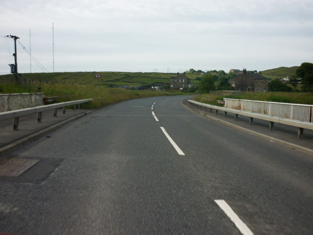
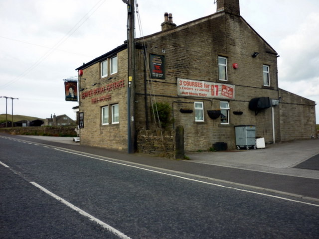
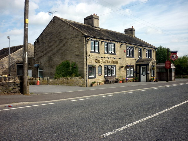
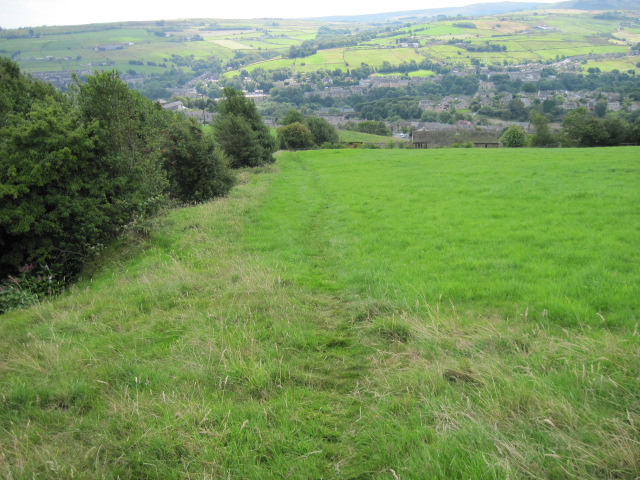
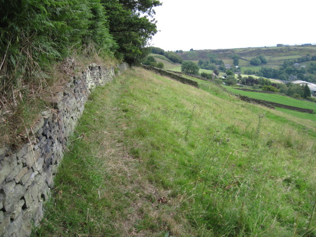
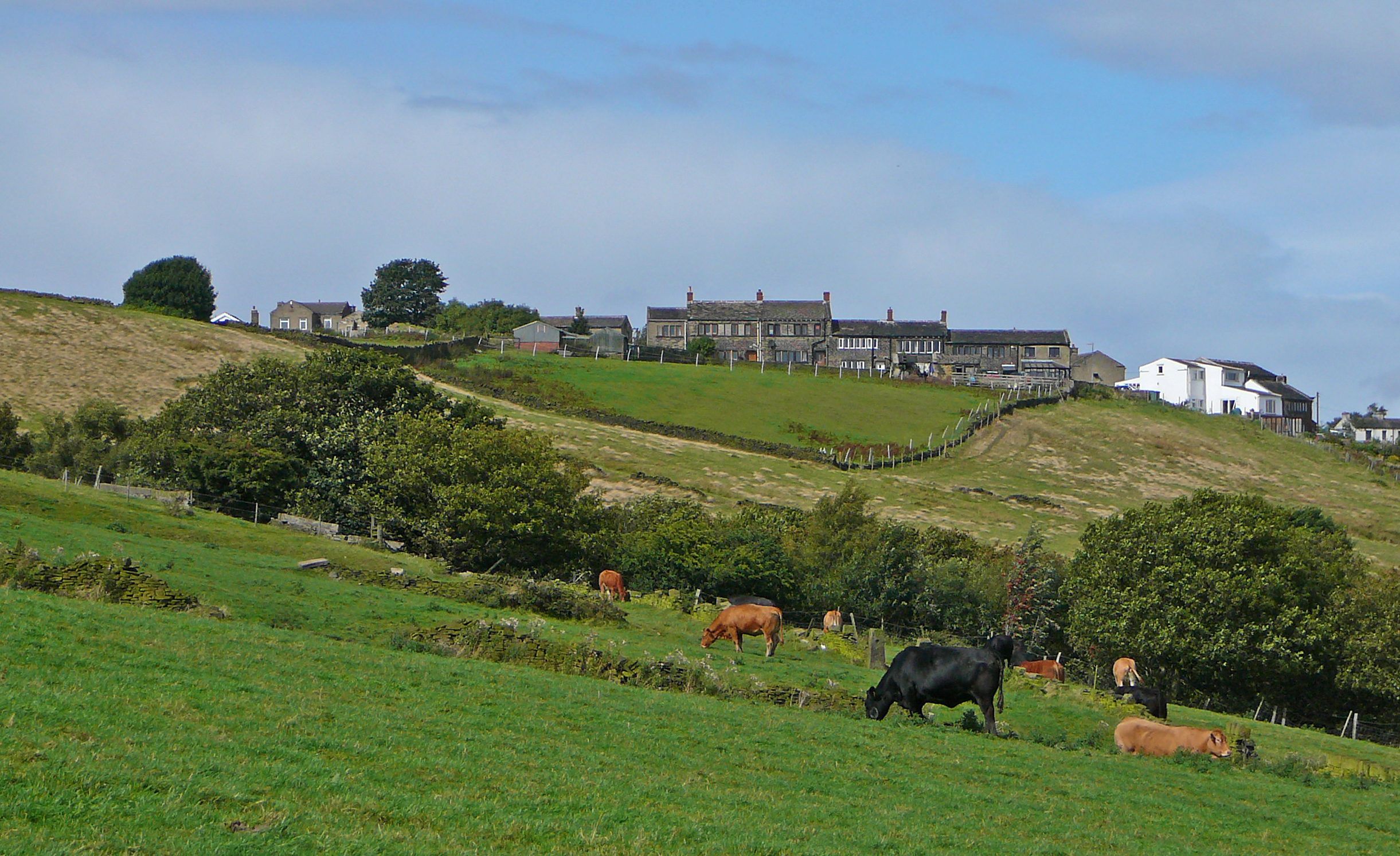
Clough Head is a small village located in the county of Yorkshire, England. Situated in the picturesque landscape of the Yorkshire Dales, it is known for its natural beauty and charming rural setting. The village is nestled in a valley, surrounded by rolling hills and green pastures, providing breathtaking views for its residents and visitors alike.

The population of Clough Head is relatively small, with only around 200 residents. This creates a tight-knit community where everyone knows each other, fostering a friendly and welcoming atmosphere. The village mainly consists of traditional stone cottages and farmhouses, adding to its quaint and rustic appeal.

The primary industry in Clough Head is agriculture, with many residents involved in farming and livestock rearing. The fertile land and favorable climate make it an ideal location for such activities. Additionally, the village is known for its local produce, including dairy products, fresh vegetables, and meats. The weekly farmers' market held in Clough Head is a popular event, attracting visitors from neighboring towns and villages.

The village also offers a range of amenities to cater to its residents' needs. These include a community center, a primary school, and a small convenience store. For recreational activities, Clough Head boasts several walking trails and cycling routes that allow residents and visitors to explore the stunning countryside surrounding the village.

Overall, Clough Head is a charming and idyllic village in Yorkshire, offering a peaceful and scenic lifestyle amidst the beauty of the Yorkshire Dales.

If you have any feedback on the listing, please let us know in the comments section below.
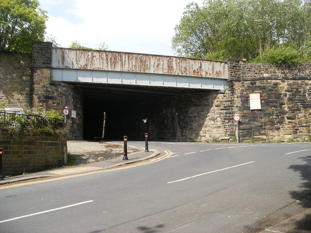
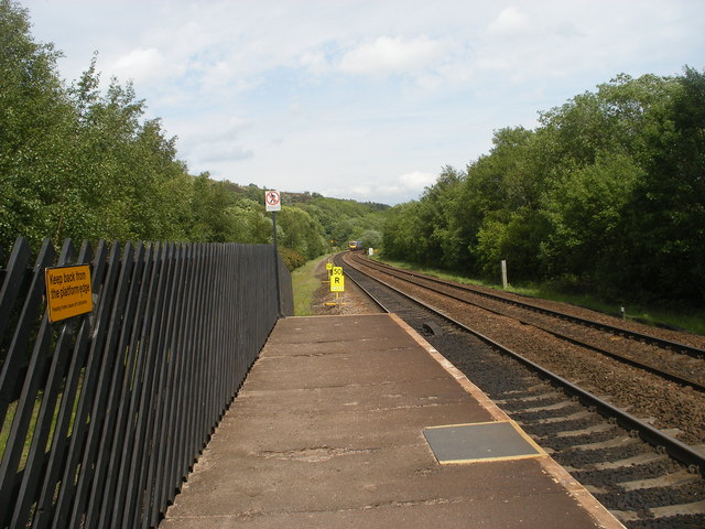
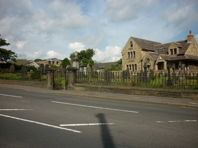
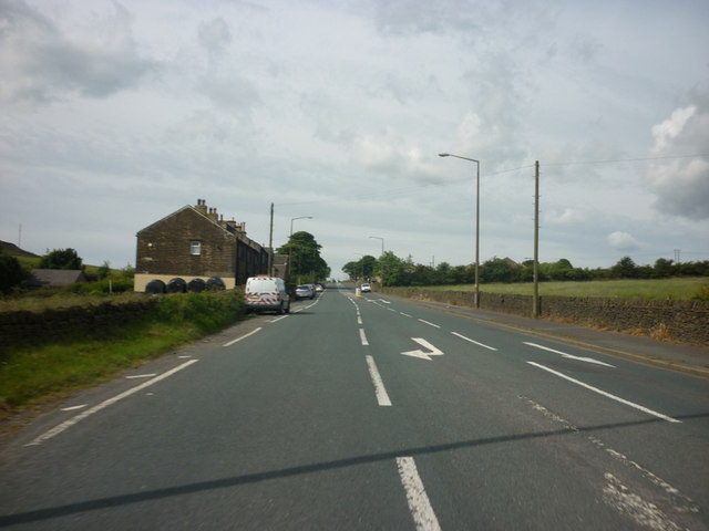
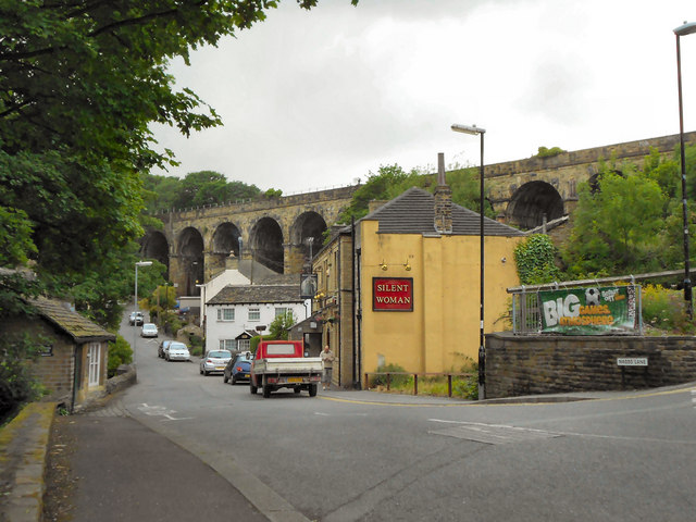
Clough Head Images

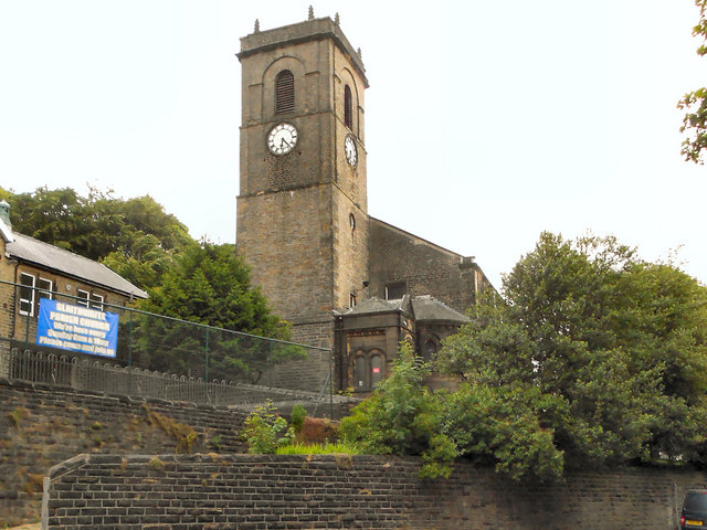
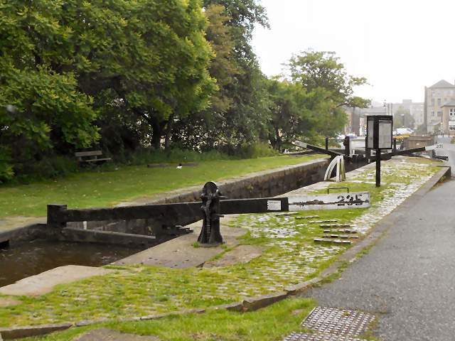
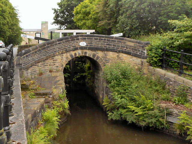
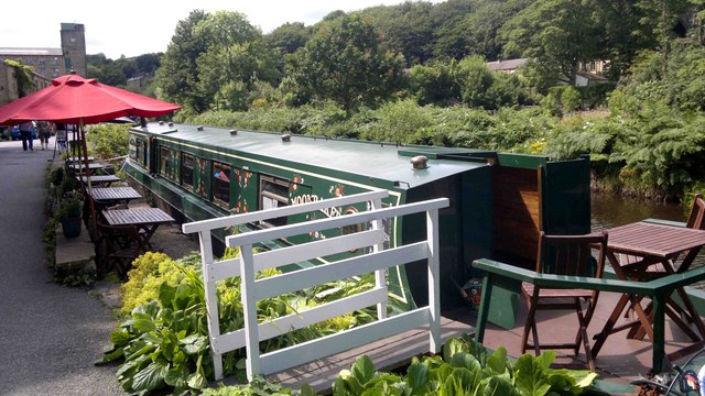
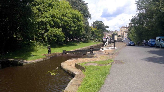
Images are sourced within 2km of 53.639099/-1.878211 or Grid Reference SE0815. Thanks to Geograph Open Source API. All images are credited.

Bridge near Slaithwaite Station
Looking east from Slaithwaite Station
A graveyard on New Hey Road, Outlane
New Hey Road leading west from Outlane
New Hey Road goes over the M62
The Lower Royal George on New Hey Road
The Jack o' Mitre on New Hey Road
Church of Saint James, Slaithwaite And Marsden St James' church was built by public subscription in 1796, replacing a 16th century chapel of  ease. It is a Grade II listed building (<span class="nowrap"><a title="http://www.britishlistedbuildings.co.uk/en-408960-church-of-saint-james-slaithwaite-and-ma" rel="nofollow ugc noopener" href="http://www.britishlistedbuildings.co.uk/en-408960-church-of-saint-james-slaithwaite-and-ma">Link</a><img style="margin-left:2px;" alt="External link" title="External link - shift click to open in new window" src="https://s1.geograph.org.uk/img/external.png" width="10" height="10"/></span> - British Listed Buildings)
Church of Saint James, Slaithwaite And Marsden
St James' church was built by public subscription in 1796, replacing a 16th century chapel of ease. It is a Grade II listed building (LinkExternal link - British Listed Buildings)
Silent Woman, Slaithwaite The Silent Woman public house on Nabbs Lane. Behind it is the railway viaduct.
Silent Woman, Slaithwaite
The Silent Woman public house on Nabbs Lane. Behind it is the railway viaduct.
Stone Bridge from Old Bank The stone footbridge over the Huddersfield Narrow Canal at Marsden.
Stone Bridge from Old Bank
The stone footbridge over the Huddersfield Narrow Canal at Marsden.
Huddersfield Narrow Canal, Slaithwaite Restored section of the canal, once filled in at this point. Views of the early stages of the restoration work, in 2000, may be seen at <a href="https://www.geograph.org.uk/photo/3119112">SE0713 : Huddersfield Narrow Canal, restoration works below Lock 23E (1)</a> and <a href="https://www.geograph.org.uk/photo/3119090">SE0713 : Huddersfield Narrow Canal, restoration works below Lock 23E (2)</a>.
Huddersfield Narrow Canal, Slaithwaite
Restored section of the canal, once filled in at this point. Views of the early stages of the restoration work, in 2000, may be seen at SE0713 : Huddersfield Narrow Canal, restoration works below Lock 23E (1) and SE0713 : Huddersfield Narrow Canal, restoration works below Lock 23E (2).
Lock and Church, Slaithwaite Lock 23E on the Huddersfield Narrow Canal, with <a href="https://www.geograph.org.uk/photo/2464983">SE0714 : Church of Saint James, Slaithwaite And Marsden</a> in the background.
Lock and Church, Slaithwaite
Lock 23E on the Huddersfield Narrow Canal, with SE0714 : Church of Saint James, Slaithwaite And Marsden in the background.
Huddersfield Narrow Canal, Lock 23E Lock 23E on the Huddersfield Narrow Canal at Slaithwaite.A view of this lock prior to restoration can be seen at <a href="https://www.geograph.org.uk/photo/3118677">SE0713 : Huddersfield Narrow Canal - Lock 23E before restoration</a>.

<span class="nowrap"><a title="http://www.huddersfieldcanal.com" rel="nofollow ugc noopener" href="http://www.huddersfieldcanal.com">Link</a><img style="margin-left:2px;" alt="External link" title="External link - shift click to open in new window" src="https://s1.geograph.org.uk/img/external.png" width="10" height="10"/></span> - Huddersfield Canal Society
<span class="nowrap"><a title="http://www.canaljunction.com/canal/huddersfield_narrow.htm" rel="nofollow ugc noopener" href="http://www.canaljunction.com/canal/huddersfield_narrow.htm">Link</a><img style="margin-left:2px;" alt="External link" title="External link - shift click to open in new window" src="https://s1.geograph.org.uk/img/external.png" width="10" height="10"/></span> - CanalJunction.com
Huddersfield Narrow Canal, Lock 23E
Lock 23E on the Huddersfield Narrow Canal at Slaithwaite.A view of this lock prior to restoration can be seen at SE0713 : Huddersfield Narrow Canal - Lock 23E before restoration. LinkExternal link - Huddersfield Canal Society LinkExternal link - CanalJunction.com
Huddersfield Narrow Canal, Bridge 45 at Slaithwaite Bridge number 45 on the Huddersfield Narrow Canal at Slaithwaite. A view of the bridge prior to restoration of the canal and lock can be seen at <a href="https://www.geograph.org.uk/photo/3118693">SE0713 : Huddersfield Narrow Canal, Lock 23E - Before canal restoration</a>.

<span class="nowrap"><a title="http://www.huddersfieldcanal.com" rel="nofollow ugc noopener" href="http://www.huddersfieldcanal.com">Link</a><img style="margin-left:2px;" alt="External link" title="External link - shift click to open in new window" src="https://s1.geograph.org.uk/img/external.png" width="10" height="10"/></span> - Huddersfield Canal Society
<span class="nowrap"><a title="http://www.canaljunction.com/canal/huddersfield_narrow.htm" rel="nofollow ugc noopener" href="http://www.canaljunction.com/canal/huddersfield_narrow.htm">Link</a><img style="margin-left:2px;" alt="External link" title="External link - shift click to open in new window" src="https://s1.geograph.org.uk/img/external.png" width="10" height="10"/></span> - CanalJunction.com
Huddersfield Narrow Canal, Bridge 45 at Slaithwaite
Bridge number 45 on the Huddersfield Narrow Canal at Slaithwaite. A view of the bridge prior to restoration of the canal and lock can be seen at SE0713 : Huddersfield Narrow Canal, Lock 23E - Before canal restoration. LinkExternal link - Huddersfield Canal Society LinkExternal link - CanalJunction.com
Tea Barge at Slaithwaite
Locks at Slaithwaite Lock 23E after restoration - a view of this lock before it was restored can be seen at <a href="https://www.geograph.org.uk/photo/3118677">SE0713 : Huddersfield Narrow Canal - Lock 23E before restoration</a>.
Locks at Slaithwaite
Lock 23E after restoration - a view of this lock before it was restored can be seen at SE0713 : Huddersfield Narrow Canal - Lock 23E before restoration.
Footpath towards Slaithwaite
Footpath below Moorside Edge
Show me another place!

Clough Head is located at Grid Ref: SE0815 (Lat: 53.639099, Lng: -1.878211)

Division: West Riding

Unitary Authority: Kirklees

Police Authority: West Yorkshire

What 3 Words

///pelting.struggle.nanny. Near Linthwaite, West Yorkshire

Related Wikis

Scapegoat Hill

Scapegoat Hill is a small village 5 miles (8 km) west of Huddersfield, West Yorkshire, England. It is near to the villages of Slaithwaite and Golcar. The...

Moorside Edge transmitting station

Moorside Edge transmitting station, opened in 1931, was originally constructed to radiate the BBC's North Regional (from 17 May on 626 kHz) and National...

Moorside Edge

The Moorside Edge is a steeply sloping area of moorland at grid reference SE070154 just north of Slaithwaite and about 5 miles (8 km) west of Huddersfield...
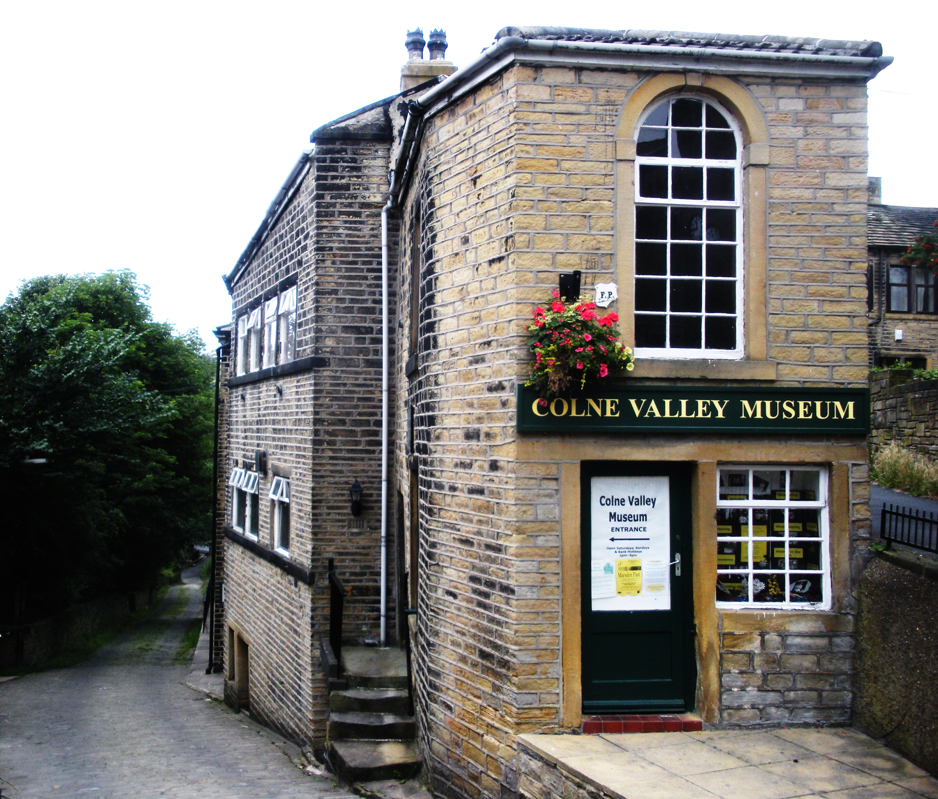
Colne Valley Museum

The Colne Valley Museum is located within the Colne Valley at Golcar, Huddersfield, West Yorkshire, England. The museum consists of four converted 19th...

Nearby Amenities

Located within 500m of 53.639099,-1.878211
Bus Stop
Bolster Moor Road Drummer Lane
Local Ref: 45021947
Naptan AtcoCode: 450021947
Naptan Bearing: NW
Naptan CommonName: Bolster Moor Road Drummer Lane
Naptan Crossing: Drummer Lane
Naptan Indicator: Stop 45021947
Naptan PlusbusZoneRef: LEEDS
Naptan ShortCommonName: Drummer Lane
Naptan Street: Bolster Moor Road
Naptan Verified: no
Source: naptan_import
Lat/Long: 53.6365896/-1.8726542
Bus Stop
Pinfold Lane Bolster Moor Road
Bus: yes
Local Ref: 45021948
Naptan AtcoCode: 450021948
Naptan Bearing: NW
Naptan CommonName: Pinfold Lane Bolster Moor Road
Naptan Crossing: Bolstermoor Road
Naptan Indicator: Stop 45021948
Naptan Landmark: Primary School
Naptan PlusbusZoneRef: LEEDS
Naptan ShortCommonName: Bolstermoor Road
Naptan Street: Pinfold Lane
Naptan Verified: yes
Public Transport: platform
Shelter: yes
Source: naptan_import
Lat/Long: 53.6381308/-1.8765971
Bus Stop
Pinfold Lane Slaithwaite Gate
Bus: yes
Local Ref: 45021949
Naptan AtcoCode: 450021949
Naptan Bearing: NW
Naptan CommonName: Pinfold Lane Slaithwaite Gate
Naptan Crossing: Slaithwaite Lane
Naptan Indicator: Stop 45021949
Naptan PlusbusZoneRef: LEEDS
Naptan ShortCommonName: Slaithwaite Gate
Naptan Street: Pinfold Lane
Naptan Verified: yes
Public Transport: platform
Shelter: no
Source: naptan_import
Lat/Long: 53.6396332/-1.8778935
Bus Stop
Slaithwaite Gate Rochdale Road
Local Ref: 45021950
Naptan AtcoCode: 450021950
Naptan Bearing: NE
Naptan CommonName: Slaithwaite Gate Rochdale Road
Naptan Crossing: Rochdale Road
Naptan Indicator: Stop 45021950
Naptan PlusbusZoneRef: LEEDS
Naptan ShortCommonName: Rochdale Road
Naptan Street: Slaithwaite Gate
Naptan Verified: no
Source: naptan_import
Lat/Long: 53.6405748/-1.8758337
Bus Stop
Slaithwaite Gate Pike Law Road
Local Ref: 45021951
Naptan AtcoCode: 450021951
Naptan Bearing: SW
Naptan CommonName: Slaithwaite Gate Pike Law Road
Naptan Crossing: Pike Law Road
Naptan Indicator: Stop 45021951
Naptan PlusbusZoneRef: LEEDS
Naptan ShortCommonName: Pike Law Road
Naptan Street: Slaithwaite Gate
Naptan Verified: no
Source: naptan_import
Lat/Long: 53.6408702/-1.8746077
Bus Stop
Slaithwaite Gate Upper Pike Law
Local Ref: 45021952
Naptan AtcoCode: 450021952
Naptan Bearing: NE
Naptan CommonName: Slaithwaite Gate Upper Pike Law
Naptan Crossing: Nr-At Halifax Road
Naptan Indicator: Stop 45021952
Naptan PlusbusZoneRef: LEEDS
Naptan ShortCommonName: Halifax Road
Naptan Street: Slaithwaite Gate
Naptan Verified: no
Source: naptan_import
Lat/Long: 53.6420283/-1.873258
Bolster Moor Road Drummer Lane
Local Ref: 45051163
Naptan AtcoCode: 450051163
Naptan Bearing: SE
Naptan BusStopType: CUS
Naptan CommonName: Bolster Moor Road Drummer Lane
Naptan Indicator: Stop 45051163
Naptan PlusbusZoneRef: LEEDS
Naptan ShortCommonName: Drummer Lane
Naptan Street: Bolster Moor Road
Naptan Verified: no
Source: naptan_import
Lat/Long: 53.6366615/-1.8725935
Bus Stop
Pinfold Lane Clough Head Primary School
Bus: yes
Local Ref: 45051164
Naptan AtcoCode: 450051164
Naptan Bearing: SE
Naptan BusStopType: CUS
Naptan CommonName: Pinfold Lane Clough Head Primary School
Naptan Indicator: Stop 45051164
Naptan PlusbusZoneRef: LEEDS
Naptan ShortCommonName: Bolstermoor Road
Naptan Street: Pinfold Lane
Naptan Verified: yes
Public Transport: platform
Shelter: no
Source: naptan_import
Lat/Long: 53.6381673/-1.8765423
Bus Stop
Pinfold Lane Slaithwaite Gate
Bus: yes
Local Ref: 45051165
Naptan AtcoCode: 450051165
Naptan Bearing: SE
Naptan BusStopType: CUS
Naptan CommonName: Pinfold Lane Slaithwaite Gate
Naptan Indicator: Stop 45051165
Naptan PlusbusZoneRef: LEEDS
Naptan ShortCommonName: Slaithwaite Gate
Naptan Street: Pinfold Lane
Naptan Verified: yes
Public Transport: platform
Shelter: no
Source: naptan_import
Lat/Long: 53.639669/-1.8777876
Slaithwaite Gate
Local Ref: 45051166
Naptan AtcoCode: 450051166
Naptan Bearing: SW
Naptan BusStopType: CUS
Naptan CommonName: Slaithwaite Gate
Naptan Indicator: Stop 45051166
Naptan PlusbusZoneRef: LEEDS
Naptan ShortCommonName: Upper Pike Law
Naptan Street: Slaithwaite Gate
Naptan Verified: no
Source: naptan_import
Lat/Long: 53.6419922/-1.8731371
Barrier: stile
Bicycle: no
Foot: designated
Horse: no
Motor Vehicle: no
Stile: fence
Lat/Long: 53.6352744/-1.8776532
Barrier: stile
Bicycle: no
Foot: designated
Horse: no
Material: wood
Motor Vehicle: no
Stile: stepover
Lat/Long: 53.6350939/-1.8779577
Generator Method: wind_turbine
Generator Source: wind
Power: generator
Lat/Long: 53.6432733/-1.8754546
Generator Method: wind_turbine
Generator Source: wind
Power: generator
Lat/Long: 53.6432748/-1.8770401
Barrier: stile
Bicycle: no
Foot: designated
Horse: no
Material: wood
Motor Vehicle: no
Stile: stepover
Lat/Long: 53.6351914/-1.8816183
Barrier: stile
Bicycle: no
Foot: designated
Horse: no
Motor Vehicle: no
Stile: squeezer
Lat/Long: 53.6351157/-1.8755068
Barrier: stile
Bicycle: no
Foot: designated
Horse: no
Material: wood
Motor Vehicle: no
Stile: stepover
Lat/Long: 53.6424092/-1.8796478
Power: pole
Lat/Long: 53.6385534/-1.8768379
Power: pole
Lat/Long: 53.6375506/-1.8754195
Power: pole
Lat/Long: 53.6368305/-1.8750826
Generator Method: wind_turbine
Generator Source: wind
Power: generator
Lat/Long: 53.6360004/-1.873956
Power: pole
Lat/Long: 53.6364204/-1.8741682
Power: pole
Lat/Long: 53.6361341/-1.8734803
Power: pole
Lat/Long: 53.638333/-1.8757908
Rest Area
Lat/Long: 53.638957/-1.8807753
Generator Method: photovoltaic
Generator Output Electricity: yes
Generator Source: solar
Generator Type: solar_photovoltaic_panel
Power: generator
Lat/Long: 53.641302/-1.8724457
Power: pole
Lat/Long: 53.638767/-1.8777685
Power: pole
Lat/Long: 53.6397351/-1.878166
Power: pole
Lat/Long: 53.6389533/-1.8786143
Power: pole
Lat/Long: 53.640114/-1.8775233
Power: pole
Lat/Long: 53.6402246/-1.8763602
Power: pole
Lat/Long: 53.6402989/-1.8756537
The data included in this document is from www.openstreetmap.org. The data is made available under ODbL.

Have you been to Clough Head?

Leave your review of Clough Head below (or comments, questions and feedback).