Sturry
Settlement in Kent Canterbury
England
Sturry
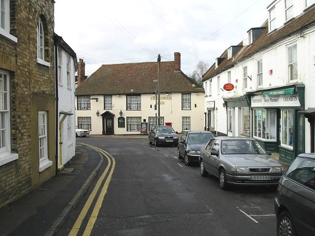
Sturry is a village located in the county of Kent, England. Situated just 3 miles northeast of the historic city of Canterbury, it is nestled on the banks of the Great Stour River. Sturry has a population of around 5,000 residents and is part of the City of Canterbury district.
The village boasts a rich history, dating back to Roman times, with evidence of settlements found in the area. Sturry played a significant role during the medieval period, as it was a crossing point over the river and served as a stopping point on the pilgrimage route to Canterbury.
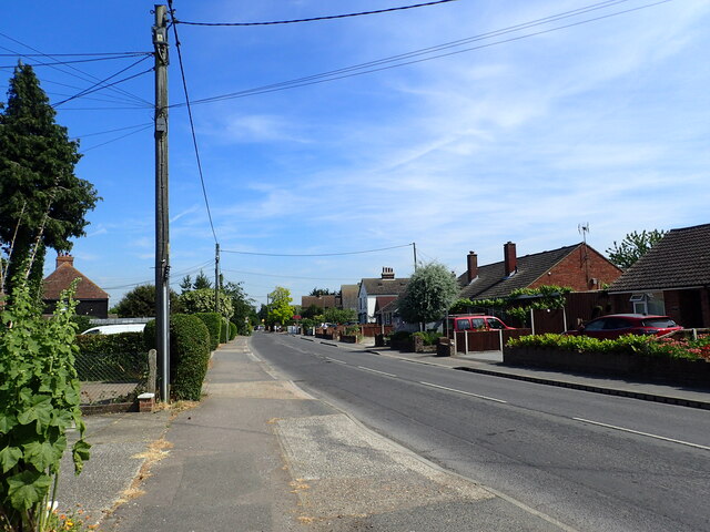
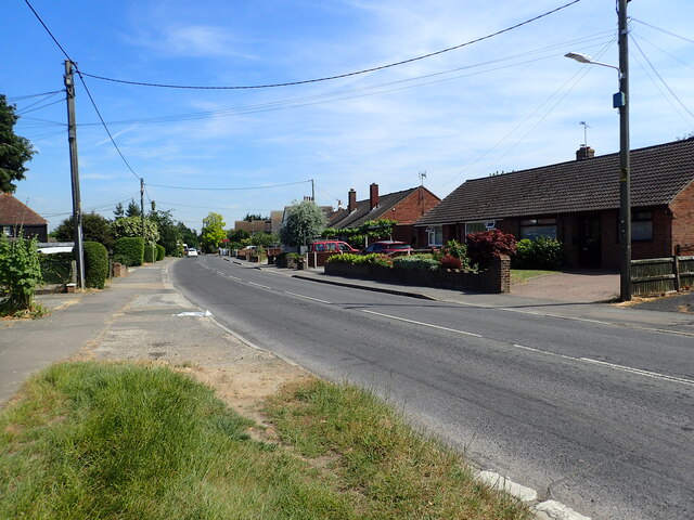
Today, Sturry retains its traditional charm with a mix of historical and modern buildings. The village center features a range of amenities, including local shops, pubs, and restaurants, providing residents with convenient access to their daily needs. The village also has a primary school, Sturry Church of England Primary School, catering to the educational needs of local children.
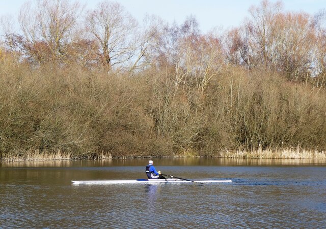
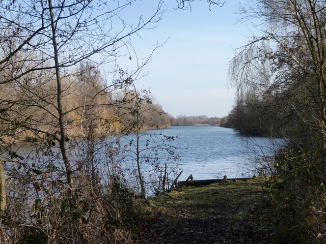
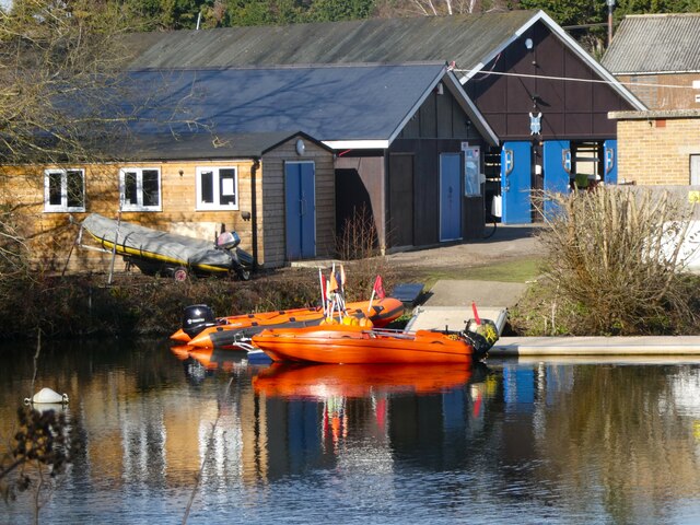
Nature lovers will appreciate the picturesque countryside surrounding Sturry, with the Great Stour River offering opportunities for leisurely walks and wildlife spotting. The nearby Stodmarsh National Nature Reserve is a haven for birdwatchers, providing a habitat for various species of birds and other wildlife.
Sturry benefits from excellent transport links, with a railway station connecting it to Canterbury and the wider region. The A28 road passes through the village, providing easy access to nearby towns and cities.
Overall, Sturry offers a peaceful and idyllic setting, combining its historical significance with modern amenities, making it an attractive place to live or visit.
If you have any feedback on the listing, please let us know in the comments section below.
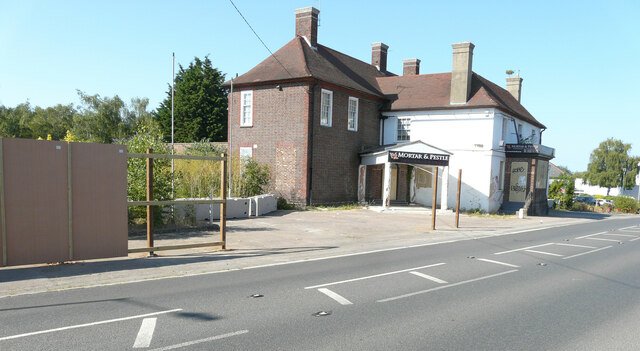
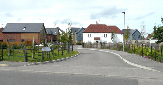
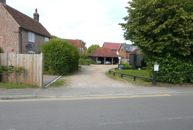
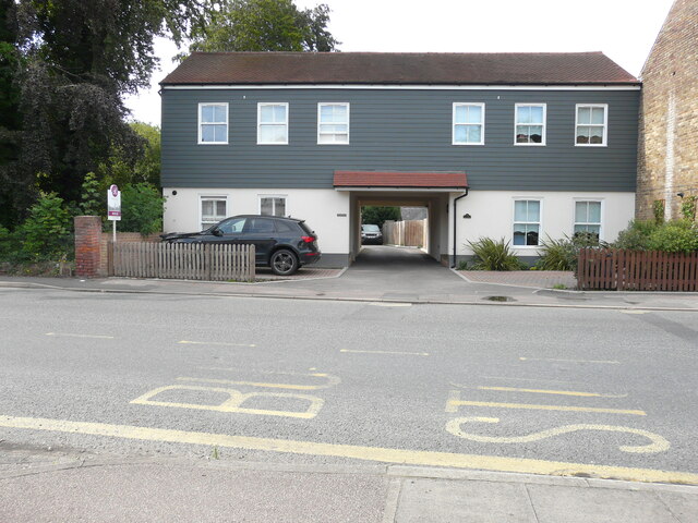
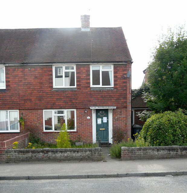
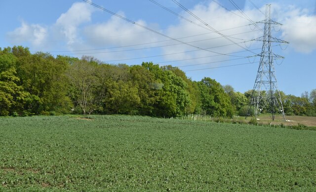
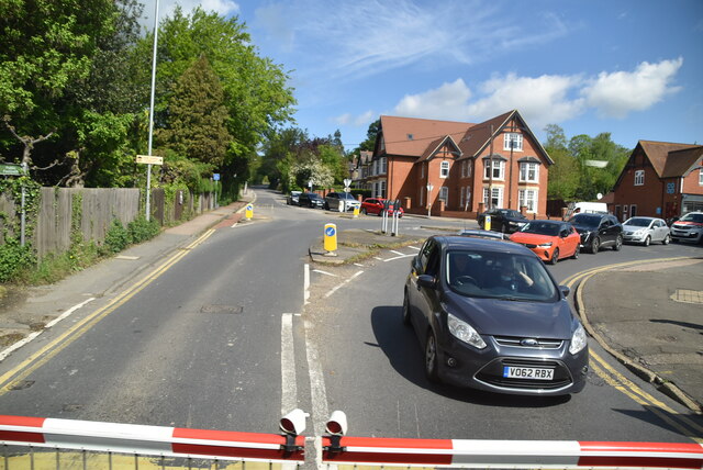
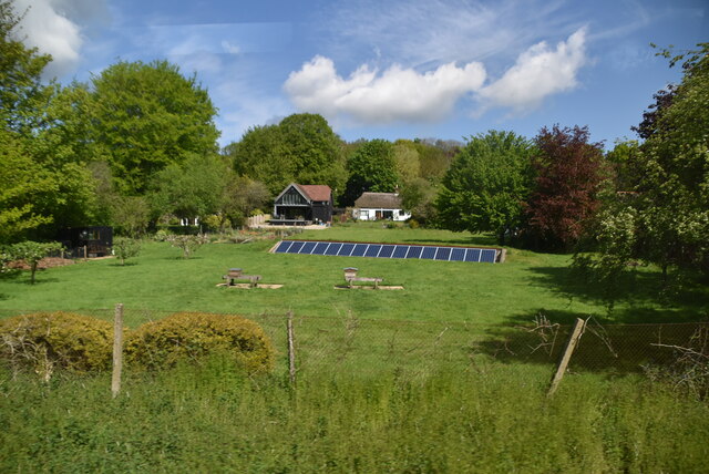
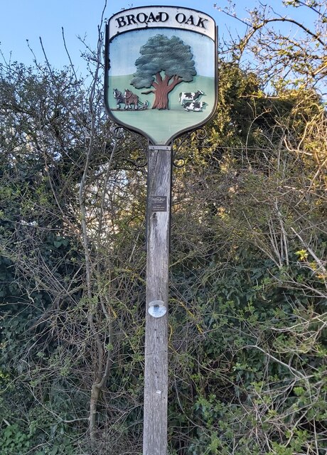
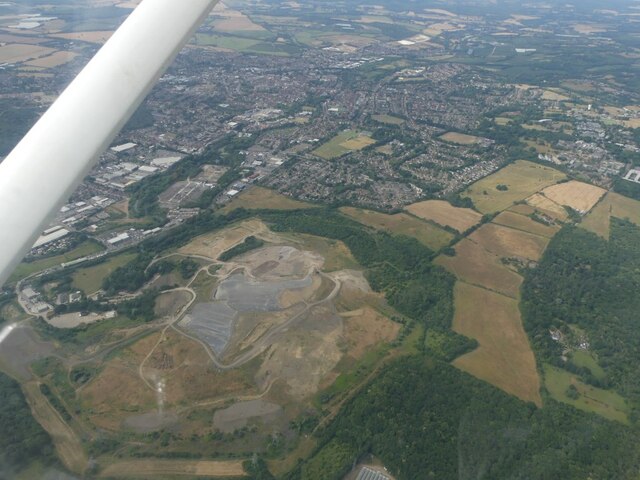
Sturry Images
Images are sourced within 2km of 51.300296/1.121948 or Grid Reference TR1760. Thanks to Geograph Open Source API. All images are credited.


Sturry is located at Grid Ref: TR1760 (Lat: 51.300296, Lng: 1.121948)
Administrative County: Kent
District: Canterbury
Police Authority: Kent
What 3 Words
///noticing.fragments.suitably. Near Sturry, Kent
Nearby Locations
Related Wikis
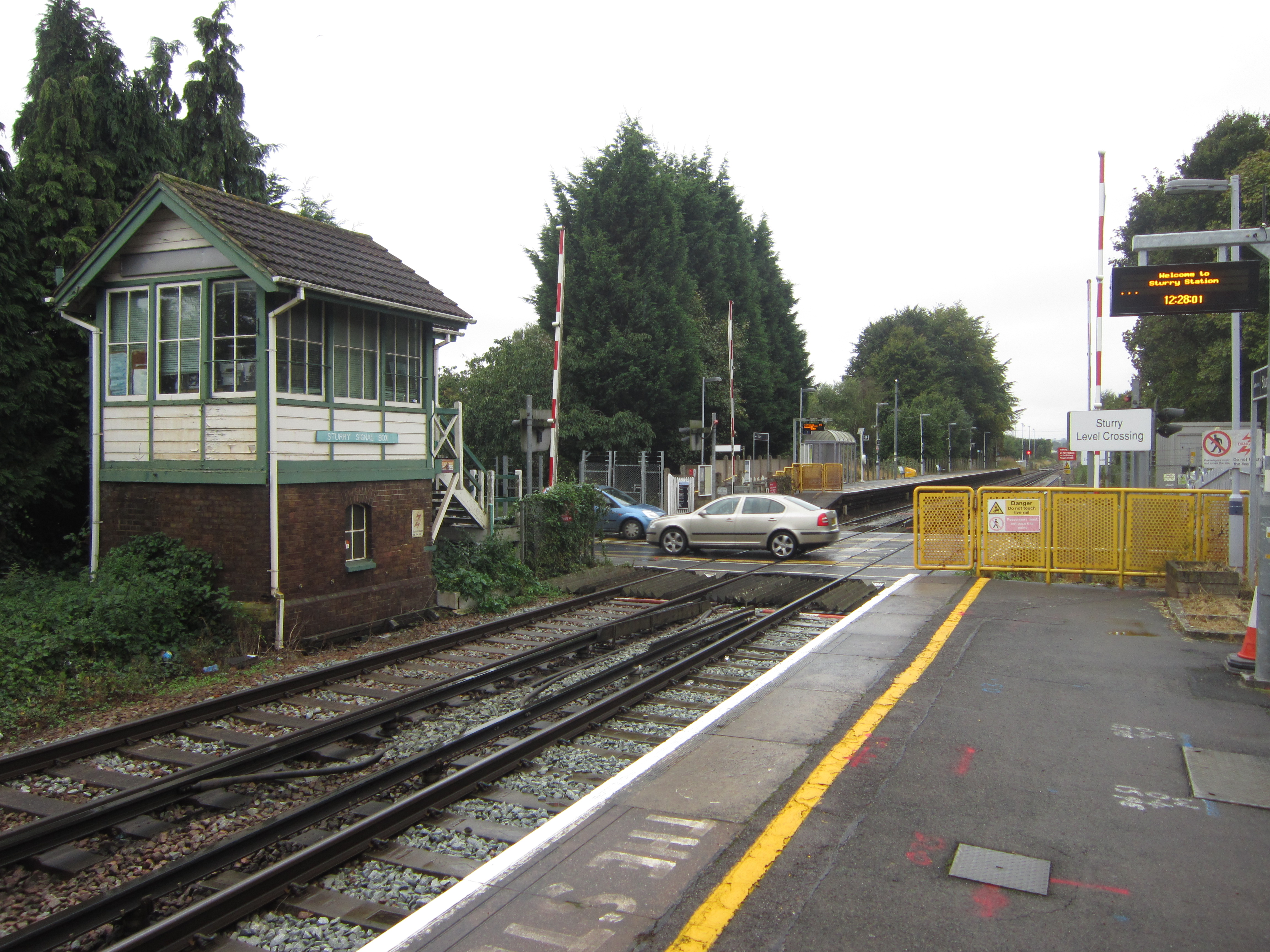
Sturry railway station
Sturry railway station is a railway station Kent, England, serving Sturry and Fordwich on the Ashford to Ramsgate line in Kent. It is 2+1⁄4 miles (3.6...

Tithe Barn, Sturry
The Tithe Barn, Sturry, Kent, England is a barn dating from the early 16th century. The barn was built as the tithe barn for the grange of St Augustine...

St Nicholas' Church, Sturry
St Nicholas' Church, Sturry, is a joint Anglican and Methodist church standing on a bank beside the River Stour, in the village of Sturry, near Canterbury...
Sturry
Sturry is a village on the Great Stour river situated 3 miles (4.8 km) northeast of Canterbury in Kent. Its large civil parish incorporates several hamlets...
Related Videos

Canterbury Cathedral - Complete Virtual Tour Inside | Kent, England
A first-person view walking tour of the Canterbury Cathedral in Kent, England. This is a complete tour inside the oldest and most ...


Fordwich & Sturry, a Walking History Tour Guide Using Old Postcards Kent UK
Fordwich, (the smallest English town) and Sturry, Kent, UK, A walking history tour guide of Fordwich and Sturry using old ...

Nearby Amenities
Located within 500m of 51.300296,1.121948Have you been to Sturry?
Leave your review of Sturry below (or comments, questions and feedback).