Den Grove Wood
Wood, Forest in Kent Canterbury
England
Den Grove Wood
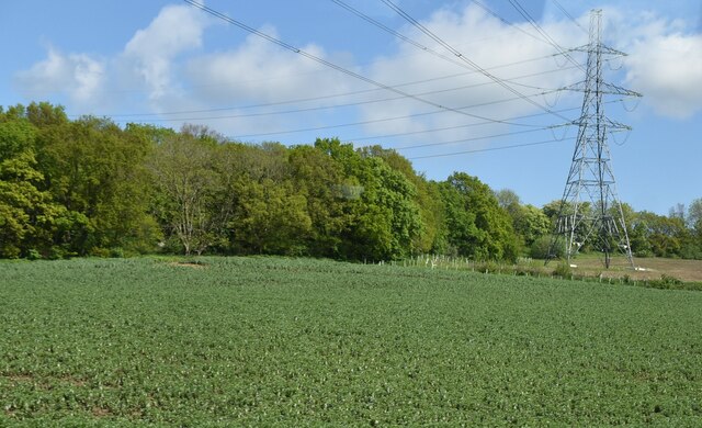
Den Grove Wood is a picturesque woodland located in the county of Kent, England. Spread over an area of approximately 50 acres, this enchanting wood is a haven for nature enthusiasts and a popular destination for outdoor activities.
The woodland is characterized by a diverse range of tree species, including oak, beech, and birch, creating a rich and vibrant ecosystem. The dense canopy provides a cool and shaded environment, making it a pleasant retreat during the summer months. The forest floor is adorned with a tapestry of wildflowers and ferns, adding to the natural beauty of the surroundings.
Den Grove Wood is home to a wide variety of wildlife, making it an important habitat for conservation. Birdwatchers can spot numerous species, such as woodpeckers, owls, and thrushes, while small mammals like squirrels and rabbits can be seen scurrying through the undergrowth. The wood's proximity to the Kent Downs, an Area of Outstanding Natural Beauty, further enhances its ecological significance.
The woodland offers a range of activities for visitors to enjoy. There are several well-maintained walking trails that wind through the wood, allowing visitors to explore its hidden treasures. Picnic spots are scattered throughout the area, providing an ideal setting for a leisurely lunch amidst nature. Additionally, Den Grove Wood is a popular spot for photography enthusiasts, who can capture the ethereal beauty of the changing seasons.
Overall, Den Grove Wood in Kent is a captivating destination that offers a peaceful respite from the bustle of everyday life. With its diverse flora and fauna, scenic trails, and tranquil ambience, it is a place where visitors can reconnect with nature and experience the beauty of the English countryside.
If you have any feedback on the listing, please let us know in the comments section below.
Den Grove Wood Images
Images are sourced within 2km of 51.304728/1.1151856 or Grid Reference TR1760. Thanks to Geograph Open Source API. All images are credited.
Den Grove Wood is located at Grid Ref: TR1760 (Lat: 51.304728, Lng: 1.1151856)
Administrative County: Kent
District: Canterbury
Police Authority: Kent
What 3 Words
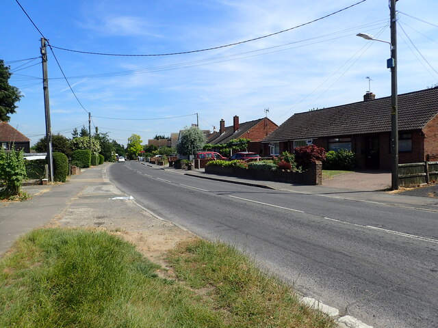
///clay.regretted.warbler. Near Sturry, Kent
Nearby Locations
Related Wikis

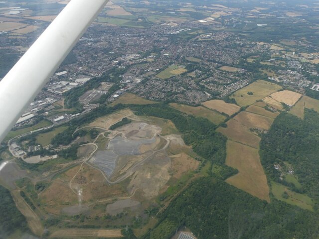
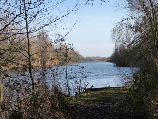
Sturry Pit
Sturry Pit is a 0.7 hectares (1.7 acres) geological Site of Special Scientific Interest north-east of Canterbury in Kent. It is a Geological Conservation...
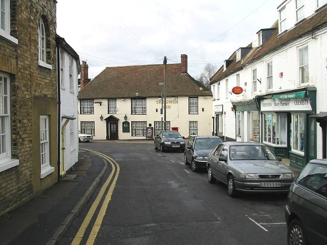
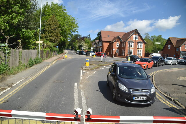
Sturry
Sturry is a village on the Great Stour river situated 3 miles (4.8 km) northeast of Canterbury in Kent. Its large civil parish incorporates several hamlets...
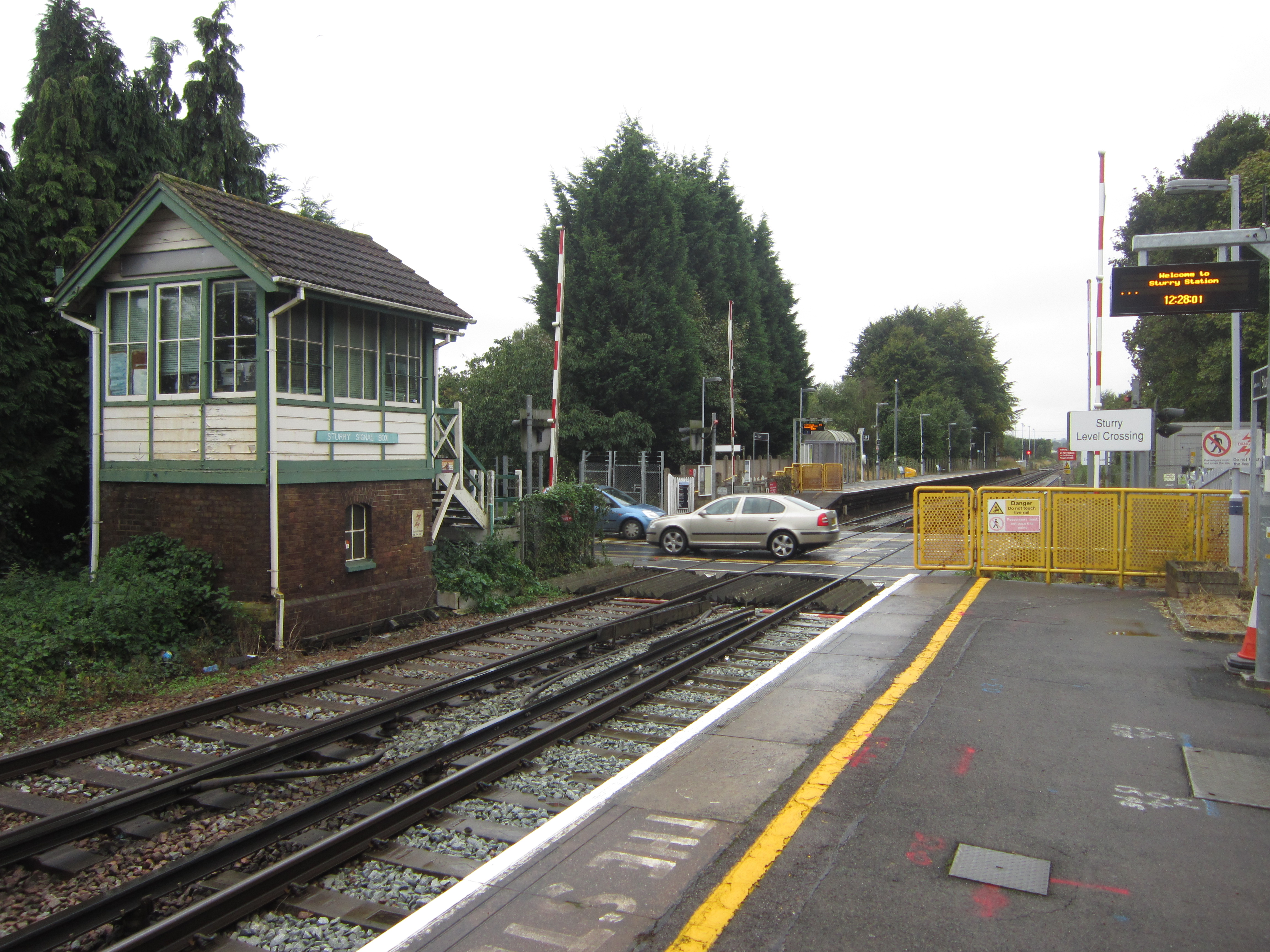
Sturry railway station
Sturry railway station is a railway station Kent, England, serving Sturry and Fordwich on the Ashford to Ramsgate line in Kent. It is 2+1⁄4 miles (3.6...

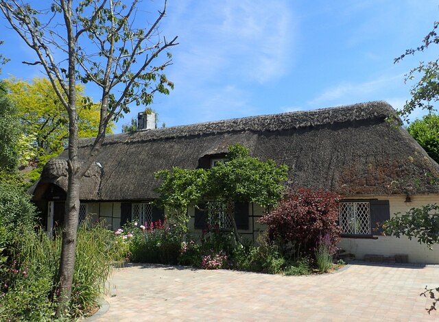
Tithe Barn, Sturry
The Tithe Barn, Sturry, Kent, England is a barn dating from the early 16th century. The barn was built as the tithe barn for the grange of St Augustine...

St Nicholas' Church, Sturry
St Nicholas' Church, Sturry, is a joint Anglican and Methodist church standing on a bank beside the River Stour, in the village of Sturry, near Canterbury...
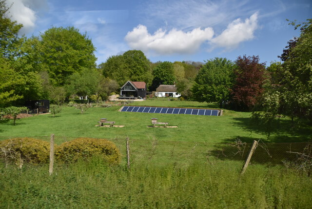
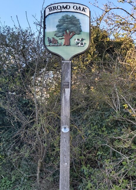
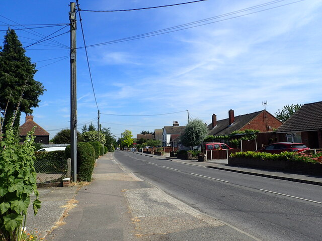
Broad Oak, Kent
Broad Oak is a village in Sturry parish, Kent, England. It lies west of the A291 road to Herne Bay; the centre of the village is about half a mile northwest...

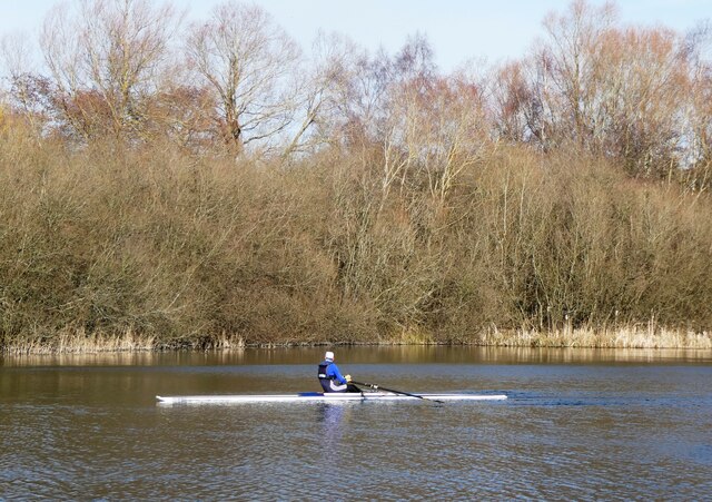
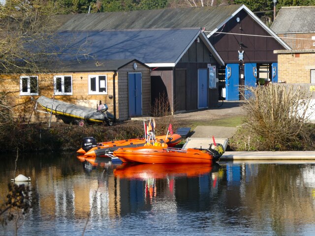
King's School Canterbury Boat Club
King's School Canterbury Boat Club is a rowing club based at Brett Sturry Quarry, Westbere Lakes, Sturry, Canterbury, Kent. == History == The club has...

Fordwich Town Hall
Fordwich Town Hall is a municipal structure in King Street, Fordwich, Kent, England. The structure, which serves as the meeting place of Fordwich Town...
Nearby Amenities
Located within 500m of 51.304728,1.1151856Have you been to Den Grove Wood?
Leave your review of Den Grove Wood below (or comments, questions and feedback).