Bullard's Plantation

Wood, Forest in Norfolk North Norfolk

England

Bullard's Plantation

Repainted Sustead village sign The sign depicts the three dolphins of the Damme family and "the manor of Damms in Sustede" in the reign of Queen Elizabeth I.
Repainted Sustead village sign Credit: Jane Rackham

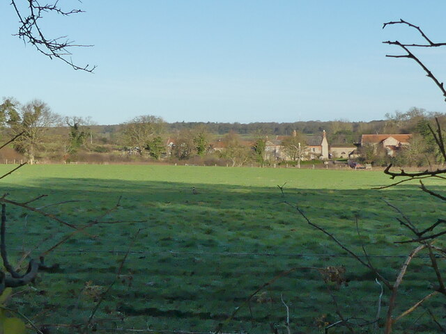
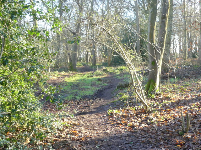
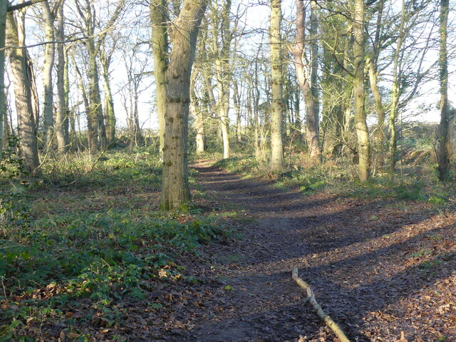
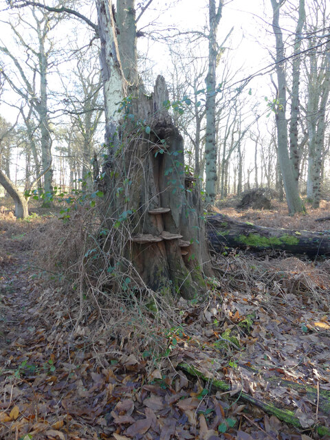
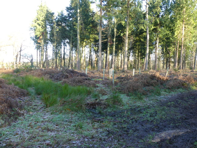
Bullard's Plantation, located in Norfolk, England, is a picturesque wood and forest area that spans approximately 200 acres. It is known for its diverse range of flora, including a variety of tall trees such as oak, beech, and birch. The plantation is a designated Site of Special Scientific Interest (SSSI) due to its significant ecological value.

The woodlands in Bullard's Plantation are home to a wide array of wildlife, making it a popular destination for nature enthusiasts and birdwatchers. Visitors can spot various bird species, including woodpeckers, owls, and warblers, as well as small mammals such as squirrels, foxes, and rabbits. The plantation's rich biodiversity also extends to its insect population, with butterflies, bees, and beetles commonly seen throughout the area.

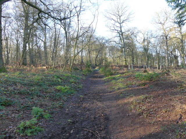
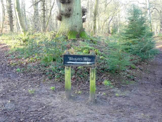
The plantation offers several well-maintained walking trails, allowing visitors to explore its beauty at their own pace. These trails wind through the woodlands, offering glimpses of picturesque ponds and streams along the way. The serene atmosphere and peaceful surroundings make Bullard's Plantation an ideal location for relaxation and escaping the hustle and bustle of city life.

Additionally, the plantation is managed by the Norfolk Wildlife Trust, ensuring the preservation and conservation of the area's natural habitats. The trust organizes educational programs and events to raise awareness about the importance of protecting the woodlands and its inhabitants.

Overall, Bullard's Plantation is a treasured natural gem in Norfolk, offering a tranquil retreat for nature lovers and providing a vital habitat for a diverse range of plant and animal species.

If you have any feedback on the listing, please let us know in the comments section below.

Bullard's Plantation Images

Images are sourced within 2km of 52.891944/1.227953 or Grid Reference TG1737. Thanks to Geograph Open Source API. All images are credited.

Repainted Sustead village sign The sign depicts the three dolphins of the Damme family and "the manor of Damms in Sustede" in the reign of Queen Elizabeth I.
Repainted Sustead village sign
The sign depicts the three dolphins of the Damme family and "the manor of Damms in Sustede" in the reign of Queen Elizabeth I.
Looking out from Common Plantation
East on Weavers Way in Common Plantation Weavers Way runs along the line of former Midland and Great Northern Joint Railway between Melton Constable and Great Yarmouth, which closed in 1959.
East on Weavers Way in Common Plantation
Weavers Way runs along the line of former Midland and Great Northern Joint Railway between Melton Constable and Great Yarmouth, which closed in 1959.
Heading towards Susted Road on Weavers Way Weavers Way runs along the line of former Midland and Great Northern Joint Railway between Melton Constable and Great Yarmouth, which closed in 1959.
Heading towards Susted Road on Weavers Way
Weavers Way runs along the line of former Midland and Great Northern Joint Railway between Melton Constable and Great Yarmouth, which closed in 1959.
Fungi on dead tree
Fungi on dead tree
Replanting in area of Conifer
West on Weavers Way Weavers Way runs along the line of former Midland and Great Northern Joint Railway between Melton Constable and Great Yarmouth, which closed in 1959.
West on Weavers Way
Weavers Way runs along the line of former Midland and Great Northern Joint Railway between Melton Constable and Great Yarmouth, which closed in 1959.
Weavers Way sign Weavers Way runs along the line of former Midland and Great Northern Joint Railway between Melton Constable and Great Yarmouth, which closed in 1959.
Weavers Way sign
Weavers Way runs along the line of former Midland and Great Northern Joint Railway between Melton Constable and Great Yarmouth, which closed in 1959.
Heading up the hill on Weavers Way Weavers Way runs along the line of former Midland and Great Northern Joint Railway between Melton Constable and Great Yarmouth, which closed in 1959.
Heading up the hill on Weavers Way
Weavers Way runs along the line of former Midland and Great Northern Joint Railway between Melton Constable and Great Yarmouth, which closed in 1959.
Cross, Church Road, Lower Gresham <span class="nowrap"><a title="https://historicengland.org.uk/listing/the-list/list-entry/1049519?section=official-list-entry" rel="nofollow ugc noopener" href="https://historicengland.org.uk/listing/the-list/list-entry/1049519?section=official-list-entry">Link</a><img style="margin-left:2px;" alt="External link" title="External link - shift click to open in new window" src="https://s1.geograph.org.uk/img/external.png" width="10" height="10"/></span>
Cross, Church Road, Lower Gresham
Church of St Peter and St Paul, Sustead <span class="nowrap"><a title="https://historicengland.org.uk/listing/the-list/list-entry/1305393?section=official-list-entry" rel="nofollow ugc noopener" href="https://historicengland.org.uk/listing/the-list/list-entry/1305393?section=official-list-entry">Link</a><img style="margin-left:2px;" alt="External link" title="External link - shift click to open in new window" src="https://s1.geograph.org.uk/img/external.png" width="10" height="10"/></span>
Church of St Peter and St Paul, Sustead
Church of All Saints, Thurgarton <span class="nowrap"><a title="https://historicengland.org.uk/listing/the-list/list-entry/1373472?section=official-list-entry" rel="nofollow ugc noopener" href="https://historicengland.org.uk/listing/the-list/list-entry/1373472?section=official-list-entry">Link</a><img style="margin-left:2px;" alt="External link" title="External link - shift click to open in new window" src="https://s1.geograph.org.uk/img/external.png" width="10" height="10"/></span>
Church of All Saints, Thurgarton
2023-03-01 Thurgarton - All Saints Church South Porch of All Saints Church now looked after by the Churches Conservation Trust. Pew end carvings of fantastic beasts including dragon, elephant, harpies, fighting dogs and many more.
2023-03-01 Thurgarton - All Saints Church
South Porch of All Saints Church now looked after by the Churches Conservation Trust. Pew end carvings of fantastic beasts including dragon, elephant, harpies, fighting dogs and many more.
2023-03-01 Thurgarton - All Saints Church - Elephant with Howdah Mediaeval pew end carving featuring an elephant complete with howdah. Church disused but now in the care of the Churches Conservation Trust.
2023-03-01 Thurgarton - All Saints Church - Elephant with Howdah
Mediaeval pew end carving featuring an elephant complete with howdah. Church disused but now in the care of the Churches Conservation Trust.
2023-03-01 Thurgarton - All Saints Church - Dragon pew end carving Mediaeval pew end carving of a dragon with folded wings.
2023-03-01 Thurgarton - All Saints Church - Dragon pew end carving
Mediaeval pew end carving of a dragon with folded wings.
All Saints' church, Thurgarton Now out of use but still maintained
All Saints' church, Thurgarton
Now out of use but still maintained
Interior, All Saints' church, Thurgarton
St Mary's church, Bessingham One of about 180 surviving round tower churches in East Anglia, probably dating to the 11th Century, more here; <span class="nowrap"><a title="https://www.exploringnorfolkchurches.org/church/st-marys-bessingham/" rel="nofollow ugc noopener" href="https://www.exploringnorfolkchurches.org/church/st-marys-bessingham/">Link</a><img style="margin-left:2px;" alt="External link" title="External link - shift click to open in new window" src="https://s1.geograph.org.uk/img/external.png" width="10" height="10"/></span>
St Mary's church, Bessingham
One of about 180 surviving round tower churches in East Anglia, probably dating to the 11th Century, more here; LinkExternal link
Show me another place!

Bullard's Plantation is located at Grid Ref: TG1737 (Lat: 52.891944, Lng: 1.227953)

Administrative County: Norfolk

District: North Norfolk

Police Authority: Norfolk

What 3 Words

///thatched.bunks.unzipped. Near Sheringham, Norfolk

Nearby Locations

Bullard's Plantation

Related Wikis

Bessingham

Bessingham is a village and former civil parish, now in the parish of Sustead, in the North Norfolk district of the English county of Norfolk. It lies...

Gresham Castle

Gresham Castle is located south of the village of Gresham in the north of the English county of Norfolk. The medieval castle was actually a fortified manor...

Gresham, Norfolk

Gresham is a village and civil parish in North Norfolk, England, five miles (8 km) south-west of Cromer. A predominantly rural parish, Gresham centres...
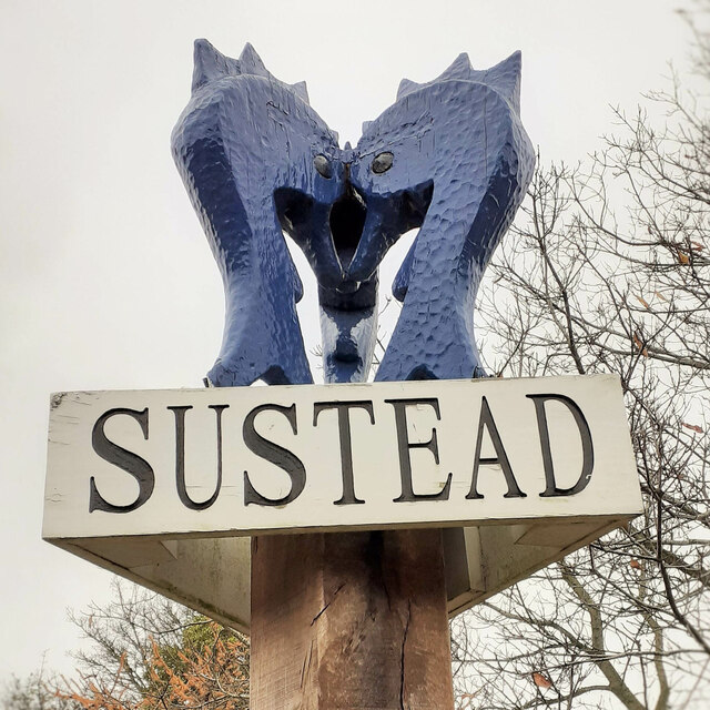
Sustead

Sustead is a small village and parish in the county of Norfolk, England, about four miles south-west of Cromer. The parish also includes the villages of...

Nearby Amenities

Located within 500m of 52.891944,1.227953
Power: pole
Lat/Long: 52.8914079/1.2349527
Power: pole
Lat/Long: 52.8916214/1.2319693
Power: pole
Lat/Long: 52.8920498/1.2249893
Power: pole
Lat/Long: 52.8921536/1.2233123
Power: pole
Lat/Long: 52.8922454/1.2217949
Power: pole
Lat/Long: 52.8923349/1.2205372
The data included in this document is from www.openstreetmap.org. The data is made available under ODbL.

Have you been to Bullard's Plantation?

Leave your review of Bullard's Plantation below (or comments, questions and feedback).