Beeston Regis Heath

Wood, Forest in Norfolk North Norfolk

England

Beeston Regis Heath

Cromer Road, Sheringham Floral decorations on pedestrian crossing, Sheringham in Bloom
Cromer Road, Sheringham Credit: Chris Morgan

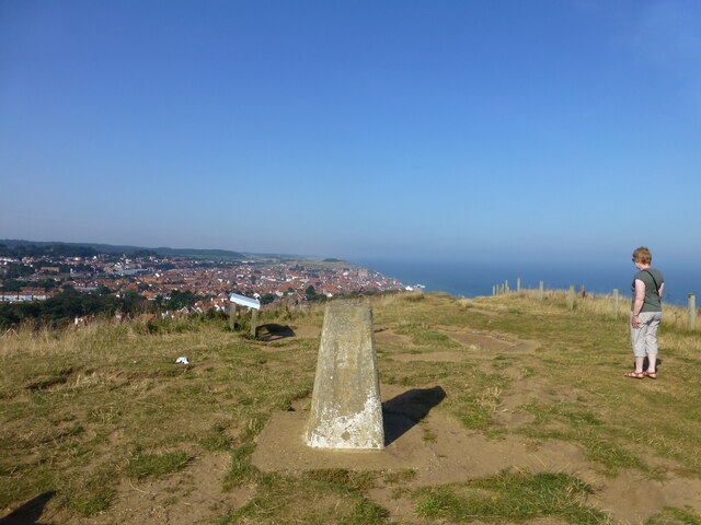
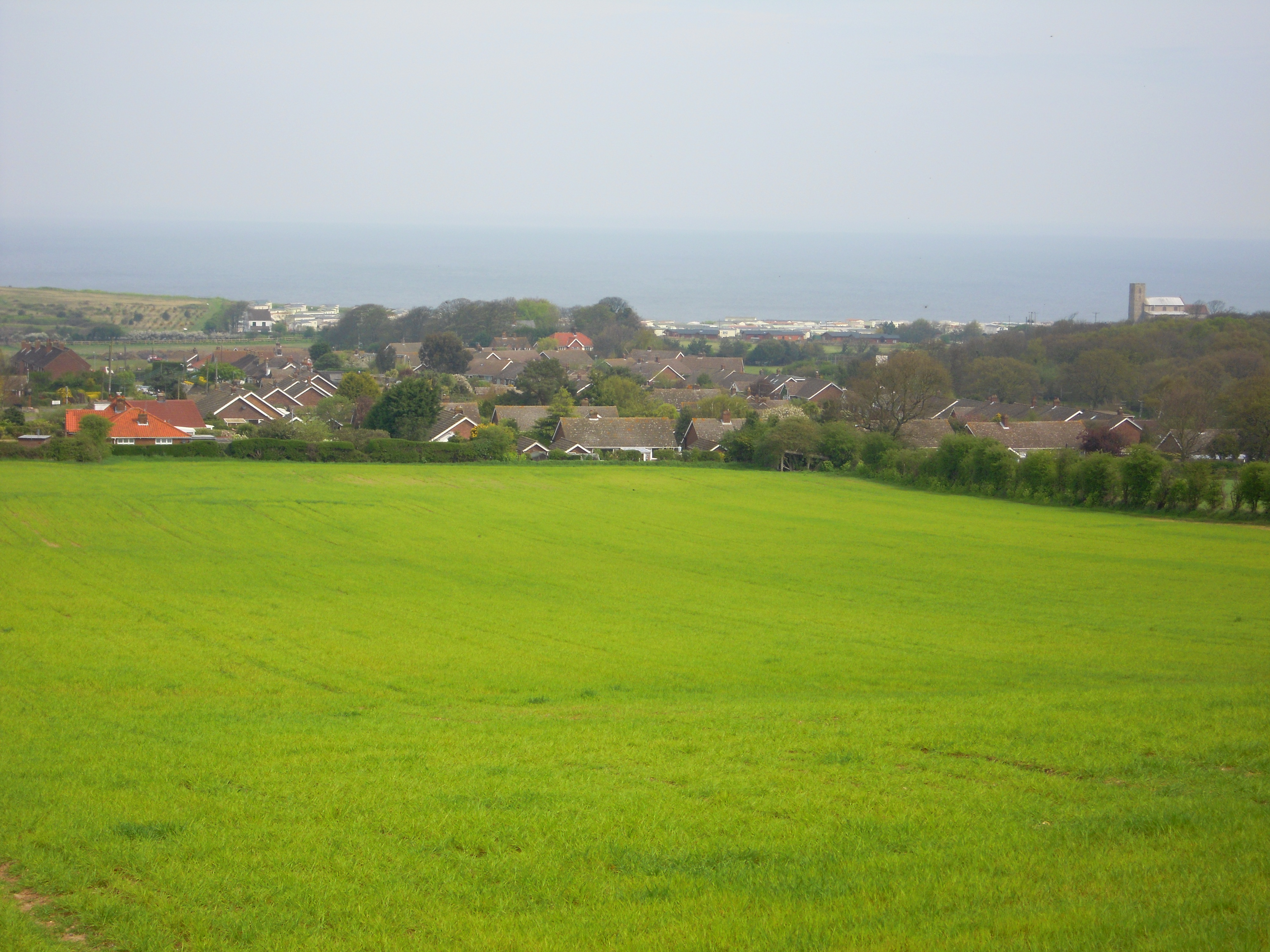
Beeston Regis Heath, located in Norfolk, England, is a beautiful expanse of woodland and heathland that spans approximately 100 acres. Situated just south of the village of Beeston Regis, the heath is a designated Site of Special Scientific Interest (SSSI) and is managed by the Norfolk Wildlife Trust.

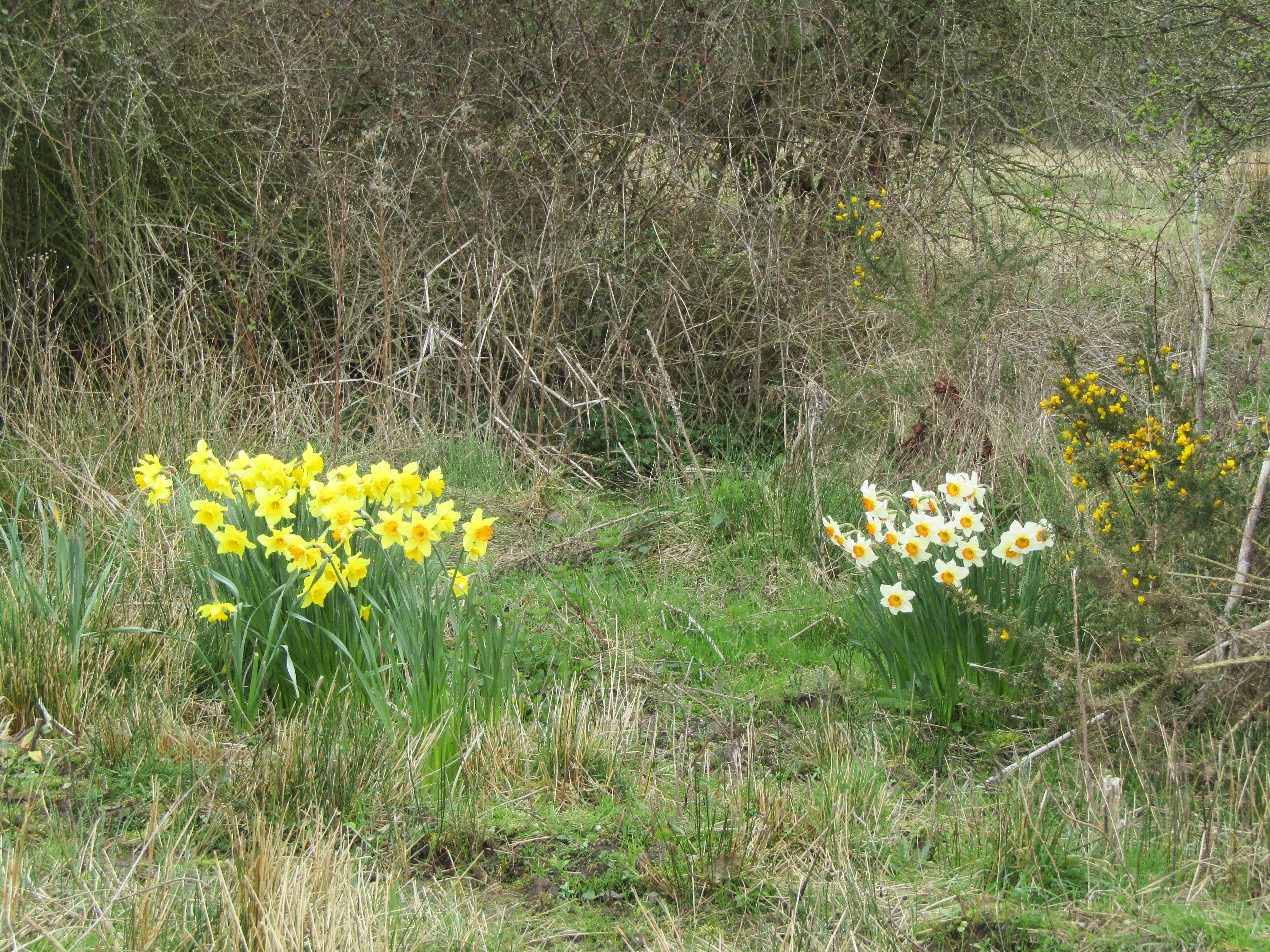
The heath is predominantly covered in low-growing heather, interspersed with gorse bushes and scattered trees, primarily oak and Scots pine. This combination of vegetation creates a diverse and unique habitat that supports a wide range of wildlife. The heath is particularly known for its bird population, with species such as the stonechat, nightjar, and woodlark found nesting in the area.

The heath also boasts a variety of other wildlife, including several species of butterflies, such as the common blue and small copper. Reptiles, such as adders and common lizards, can also be spotted basking in the sunny patches of the heath. Additionally, the area is home to a number of small mammals, such as foxes, rabbits, and voles.

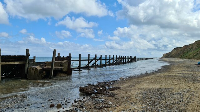
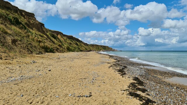
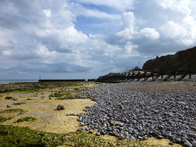
Beeston Regis Heath offers a peaceful and tranquil environment for visitors to enjoy. There are several walking trails that wind through the heath, allowing visitors to explore the diverse landscape and observe the wildlife in its natural habitat. The heath also provides breathtaking views of the surrounding countryside and coastline.

Overall, Beeston Regis Heath is a hidden gem in Norfolk, offering a unique and diverse natural environment that is both beautiful and valuable for wildlife conservation.

If you have any feedback on the listing, please let us know in the comments section below.

Beeston Regis Heath Images

Images are sourced within 2km of 52.929292/1.2309268 or Grid Reference TG1741. Thanks to Geograph Open Source API. All images are credited.

Cromer Road, Sheringham Floral decorations on pedestrian crossing, Sheringham in Bloom
Cromer Road, Sheringham
Floral decorations on pedestrian crossing, Sheringham in Bloom
Old revetments at Sheringham No longer preventing further coastal erosion
Old revetments at Sheringham
No longer preventing further coastal erosion
Old revetments at West Runton Looking west
Old revetments at West Runton
Looking west
Beach at West Runton
West Runton station
West Runton station
Sheringham Station The national network station lies across the road from the North Norfolk Railway station. Sheringham is the end point for both lines. Potentially, the NNR trains could continue to Cromer.
Sheringham Station
The national network station lies across the road from the North Norfolk Railway station. Sheringham is the end point for both lines. Potentially, the NNR trains could continue to Cromer.
Coastal Path finger post A putting green and ramp down to the seafront is at the start of the climb to Beeston Bump
Coastal Path finger post
A putting green and ramp down to the seafront is at the start of the climb to Beeston Bump
Beeston Bump trig pillar
Groyne on shoreline at West Runton
Lake at holiday park on the Norfolk Coastal Path
Platform view New road as seen from the platform of the mainline station.
Platform view
New road as seen from the platform of the mainline station.
Weston Terrace A row of late Victorian houses on a narrow unadopted road.
Situated off Beeston road.
Weston Terrace
A row of late Victorian houses on a narrow unadopted road. Situated off Beeston road.
The Dunstable Arms Now up for rent. Possibly as a result of having to go into Covid 19 lockdown early in 2020.
The Dunstable Arms
Now up for rent. Possibly as a result of having to go into Covid 19 lockdown early in 2020.
Bus shelter at Beeston Regis A solid brick construction to protect passengers from the elements.
Bus shelter at Beeston Regis
A solid brick construction to protect passengers from the elements.
Britons Lane junction with Cromer Road The over night post has just been collected.
Britons Lane junction with Cromer Road
The over night post has just been collected.
All Saints Church from Stone Hill
Beeston Bump from Stone Hill
Tesco, Sheringham
Tesco, Sheringham
Show me another place!

Beeston Regis Heath is located at Grid Ref: TG1741 (Lat: 52.929292, Lng: 1.2309268)

Administrative County: Norfolk

District: North Norfolk

Police Authority: Norfolk

What 3 Words

///greyhound.writing.tonight. Near Sheringham, Norfolk

Related Wikis

Briton's Lane Gravel Pit

Briton's Lane Gravel Pit is a 21.5-hectare (53-acre) geological Site of Special Scientific Interest east of Sheringham in Norfolk. It is a Geological...

Beeston Regis

Beeston Regis is a village and civil parish in the North Norfolk district of Norfolk, England. It is about a mile (2 km) east of Sheringham, Norfolk and...

Beeston Hall School

Beeston Hall School is an independent day and boarding preparatory school for boys and girls in the village of Beeston Regis, Norfolk, England. Founded...

Sheringham and Beeston Regis Commons

Sheringham and Beeston Regis Commons is a 24.9-hectare (62-acre) biological Site of Special Scientific Interest in Sheringham in Norfolk. It is a Nature...

Nearby Amenities

Located within 500m of 52.929292,1.2309268
Barrier: chicane
Bicycle: no
Foot: designated
Lat/Long: 52.930555/1.2363916
Tourism: viewpoint
Lat/Long: 52.9298208/1.2277927
Post Box
Britons Lane
Collection Times: Mo-Fr 16:30; Sa 07:30; Su off
Operator: Royal Mail
Post Box Type: lamp
Ref: NR26 2612
Royal Cypher: EIIR
Royal Cypher Wikidata: Q33102113
Lat/Long: 52.9326779/1.2264047
Beeston Regis Heath
Place: locality
Lat/Long: 52.9294894/1.2317806
Note: way continues
Lat/Long: 52.926121/1.2359273
Note: way continues
Lat/Long: 52.9266818/1.2322038
Note: way continues
Lat/Long: 52.9267899/1.2303378
Note: way continues
Lat/Long: 52.9277087/1.2297132
Note: way continues
Lat/Long: 52.9284547/1.2323964
Note: way continues
Lat/Long: 52.9289785/1.2314888
Note: way continues
Lat/Long: 52.929214/1.2310158
Information: route_marker
Operator: National Trust
Tourism: information
Lat/Long: 52.9297864/1.2278018
Bench
Backrest: no
Lat/Long: 52.9298116/1.2278509
Power: pole
Lat/Long: 52.9306828/1.236027
Power: pole
Lat/Long: 52.9311844/1.2370335
The data included in this document is from www.openstreetmap.org. The data is made available under ODbL.

Have you been to Beeston Regis Heath?

Leave your review of Beeston Regis Heath below (or comments, questions and feedback).