Stursdon

Settlement in Cornwall

England

Stursdon

North Cornwall : Field & Wind Turbine A wind turbine in the distance beyond the field. This photo was taken as I travelled along the A39 as a passenger.
North Cornwall : Field & Wind Turbine Credit: Lewis Clarke

Stursdon is a small village located in the county of Cornwall, in southwestern England. Situated in a picturesque setting, it is nestled amongst rolling hills and verdant countryside, offering residents and visitors alike a tranquil and idyllic retreat from the hustle and bustle of urban life.

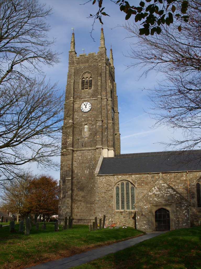
The village itself is characterized by its charming stone cottages, many of which date back to the 18th and 19th centuries, lending an air of historical charm to the area. Stursdon is also home to a quaint village green, where locals gather for community events and activities throughout the year.

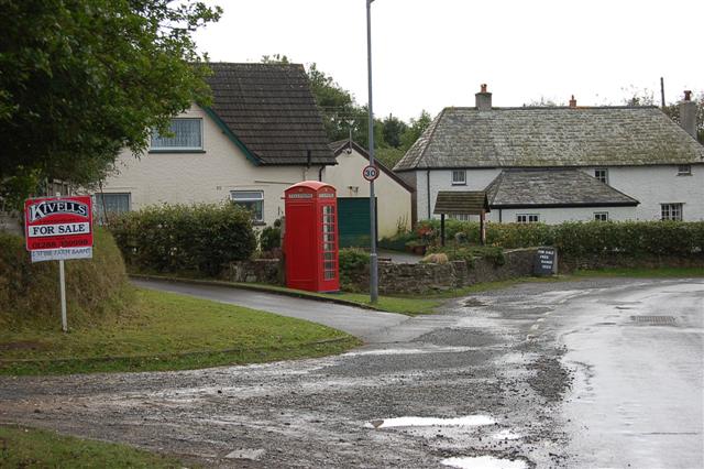
Although Stursdon is relatively small in size, it boasts a strong sense of community and a range of amenities for its residents. These include a local pub, a village hall, and a small convenience store, providing essential services to the villagers without the need to travel to nearby towns.

Nature enthusiasts will find plenty to explore in the surrounding area, with numerous walking trails and bridleways crisscrossing the countryside. Stursdon is also within easy reach of the Cornwall Area of Outstanding Natural Beauty, allowing visitors to experience the stunning coastline and sandy beaches that the region is renowned for.

In summary, Stursdon is a charming and peaceful village in Cornwall, offering a welcome escape from the stresses of modern life. With its beautiful countryside, historical cottages, and strong sense of community, it is a place that captures the essence of rural England.

If you have any feedback on the listing, please let us know in the comments section below.
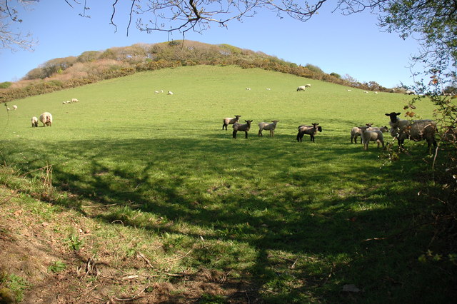
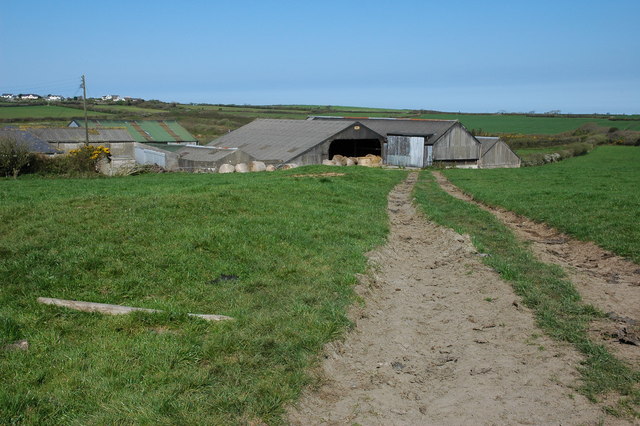
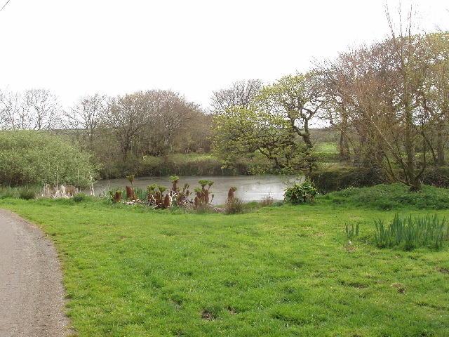
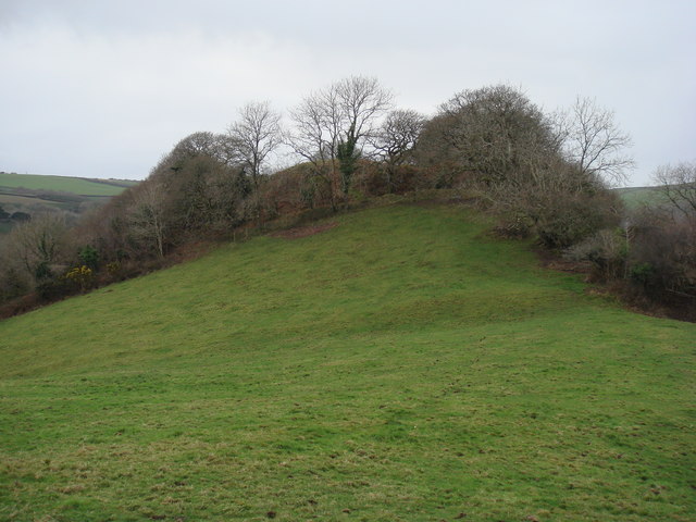
Stursdon Images

Images are sourced within 2km of 50.889603/-4.5037346 or Grid Reference SS2413. Thanks to Geograph Open Source API. All images are credited.

North Cornwall : Field & Wind Turbine A wind turbine in the distance beyond the field. This photo was taken as I travelled along the A39 as a passenger.
North Cornwall : Field & Wind Turbine
A wind turbine in the distance beyond the field. This photo was taken as I travelled along the A39 as a passenger.
Coombe Valley towards Burridge Farm
Cornwall : The A39 Heading along the A39 as it heads through the Cornish countryside.
Cornwall : The A39
Heading along the A39 as it heads through the Cornish countryside.
Passing Stursdon Farm
Turning for Milton A short distance east of Stursdon Farm.
Turning for Milton
A short distance east of Stursdon Farm.
Parking & Picnic Area, A39 Sadly the weather was not conducive for a Picnic!
Parking & Picnic Area, A39
Sadly the weather was not conducive for a Picnic!
Milestone - Bideford 18 There is an Ordnance Survey pivot on the top of the milestone. It marks a point 191.624m above mean sea level.
Milestone - Bideford 18
There is an Ordnance Survey pivot on the top of the milestone. It marks a point 191.624m above mean sea level.
Penstowe Manor
Penstowe Manor
View from A39 layby, Stursdon Cross To the right of the picture, on the horizon, can be seen the dishes and antenna of the radio station at Lower Hardnose Point. The farm on the left is (I think!) Herdacott.
View from A39 layby, Stursdon Cross
To the right of the picture, on the horizon, can be seen the dishes and antenna of the radio station at Lower Hardnose Point. The farm on the left is (I think!) Herdacott.
Pasture near Woodlands Farm View from road junction towards Woodlands Farm buildings.
Pasture near Woodlands Farm
View from road junction towards Woodlands Farm buildings.
Bridge near Woodford A typical Cornish scene, the narrow lane comes down steeply from farmland either side into a narrow wooded valley.
Bridge near Woodford
A typical Cornish scene, the narrow lane comes down steeply from farmland either side into a narrow wooded valley.
Wild Garlic in Coombe Valley Ramson, (Allium ursinum) or wild garlic and Wood Anemones growing on the banks of a lane in Coombe Valley.
Wild Garlic in Coombe Valley
Ramson, (Allium ursinum) or wild garlic and Wood Anemones growing on the banks of a lane in Coombe Valley.
Pasture to the North West of Penstowe (Kilkhampton) Castle The site of Penstowe (Kilkhampton) Castle is situated to the west of the village of Kilkhampton. The castle is out of sight behind the trees at the top of the pasture. The fortification was probably built illegally during the 12th century civil war. Today little remains other than a motte, two baileys, plus associated earthworks.
Pasture to the North West of Penstowe (Kilkhampton) Castle
The site of Penstowe (Kilkhampton) Castle is situated to the west of the village of Kilkhampton. The castle is out of sight behind the trees at the top of the pasture. The fortification was probably built illegally during the 12th century civil war. Today little remains other than a motte, two baileys, plus associated earthworks.
Alderbeer Alderbeer is situated on a narrow lane near the village of Shop.
Alderbeer
Alderbeer is situated on a narrow lane near the village of Shop.
Tractor outside a farm at Dean Stursdon
Marsborough Marsborough Farm near the village of Shop.
Marsborough
Marsborough Farm near the village of Shop.
Burridge Farm Burridge Farm viewed from the road, beside the stream flowing through Coombe Valley.
Burridge Farm
Burridge Farm viewed from the road, beside the stream flowing through Coombe Valley.
Pond at Lee Barton Farm The pond seems to have exotic plants growing by it. View from road which goes through the farmyard.
Pond at Lee Barton Farm
The pond seems to have exotic plants growing by it. View from road which goes through the farmyard.
Show me another place!

Stursdon is located at Grid Ref: SS2413 (Lat: 50.889603, Lng: -4.5037346)

Unitary Authority: Cornwall

Police Authority: Devon and Cornwall

What 3 Words

///deduct.sands.modifies. Near Flexbury, Cornwall

Nearby Locations

Stursdon

Related Wikis

Penstowe Castle

Penstowe Castle, also called Kilkhampton Castle, was a medieval fortification built near Kilkhampton, Cornwall, England, possibly during the years of...

Brocklands Adventure Park

Brocklands Adventure Park was a family run leisure park situated near Bude in Cornwall. The park was established in 1977 originally as a Tearoom and shop...

Kilkhampton

Kilkhampton (Cornish: Kylgh) is a village and civil parish in northeast Cornwall, England, United Kingdom. The village is on the A39 about four miles...

Stibb

Stibb (Cornish: Stok) is a hamlet near Bude in Cornwall, England, United Kingdom.Stibb lies within the Cornwall Area of Outstanding Natural Beauty (AONB...

Nearby Amenities

Located within 500m of 50.889603,-4.5037346
Barrier: stile
Lat/Long: 50.8867211/-4.5034846
Power: pole
Lat/Long: 50.8866749/-4.5035523
Power: pole
Lat/Long: 50.8895032/-4.5048907
Power: pole
Lat/Long: 50.8898288/-4.5050222
Power: pole
Lat/Long: 50.8917695/-4.5057061
Power: pole
Lat/Long: 50.8926442/-4.5059851
Power: pole
Lat/Long: 50.8937761/-4.5063311
Direction: WSW
Generator Method: photovoltaic
Generator Output Electricity: yes
Generator Solar Modules: 18
Generator Source: solar
Generator Type: solar_photovoltaic_panel
Location: roof
Power: generator
Lat/Long: 50.8868526/-4.499061
The data included in this document is from www.openstreetmap.org. The data is made available under ODbL.

Have you been to Stursdon?

Leave your review of Stursdon below (or comments, questions and feedback).