Stone
Settlement in Kent Dartford
England
Stone
Stone is a town located in the county of Kent, England. Situated approximately 5 miles southeast of Dartford, it is part of the Sevenoaks district. Stone is well-connected to surrounding areas, with easy access to major transport links including the A2 road and Stone Crossing railway station.
The town has a rich history, with evidence of human settlement dating back to the Roman times. It was originally known as Stan, which means "stone" in Old English, due to the abundance of building material available in the area. In medieval times, Stone was an important center for agriculture and trade, and its market still operates today, attracting locals and visitors alike.
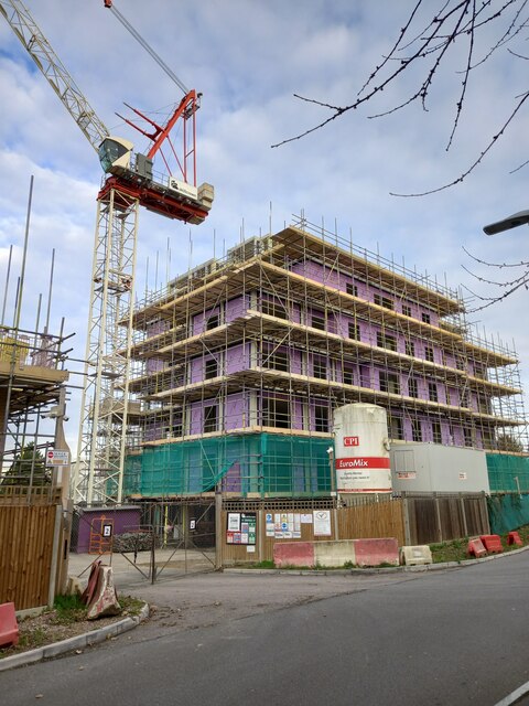
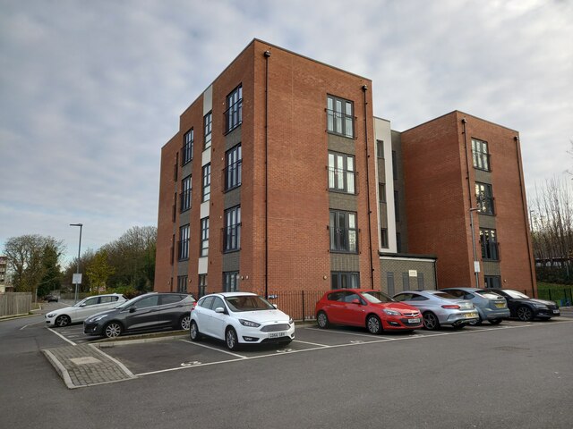
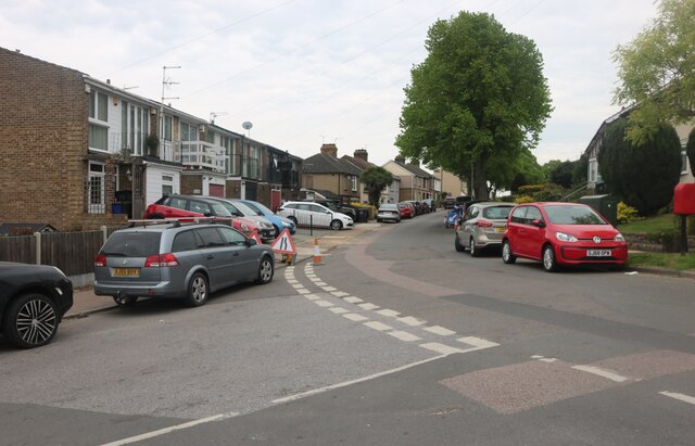
Stone is a residential area with a mix of housing developments, ranging from modern estates to charming period properties. The town offers a range of amenities, including shops, schools, and recreational facilities, making it an attractive place to live for families and professionals.
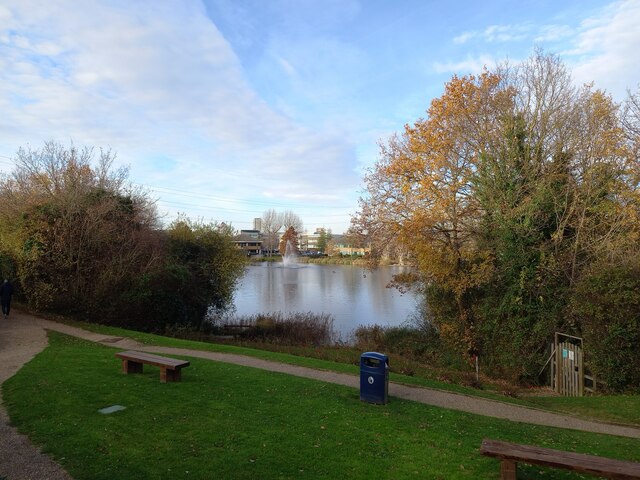
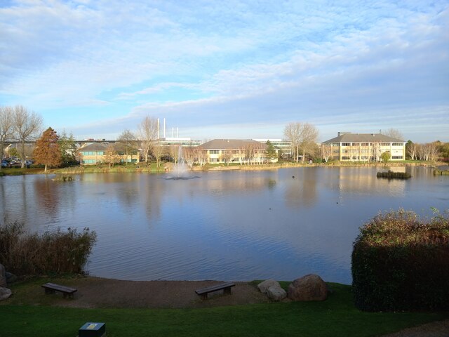
Nature enthusiasts can enjoy the nearby countryside, as Stone is surrounded by beautiful landscapes and green spaces. One of the notable attractions is Stone Castle, which dates back to the 11th century and provides a glimpse into the town's historical past. Additionally, nearby attractions like Lullingstone Country Park and the River Darent offer opportunities for outdoor activities such as walking, cycling, and picnicking.
Overall, Stone in Kent is a picturesque town that combines a rich heritage with modern conveniences, making it an appealing place to reside in the heart of the English countryside.
If you have any feedback on the listing, please let us know in the comments section below.
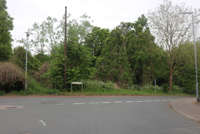
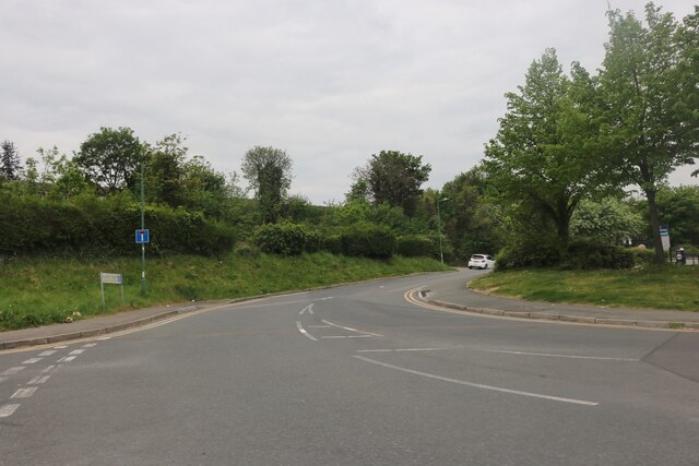
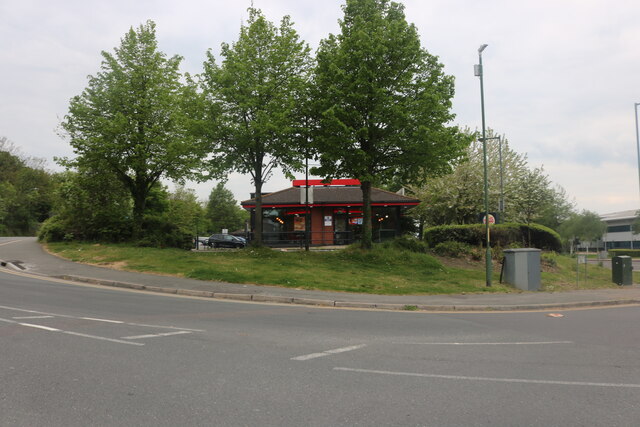
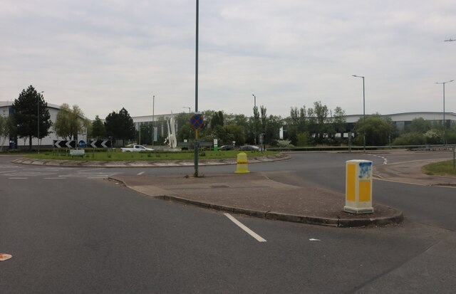
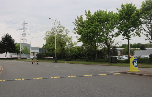
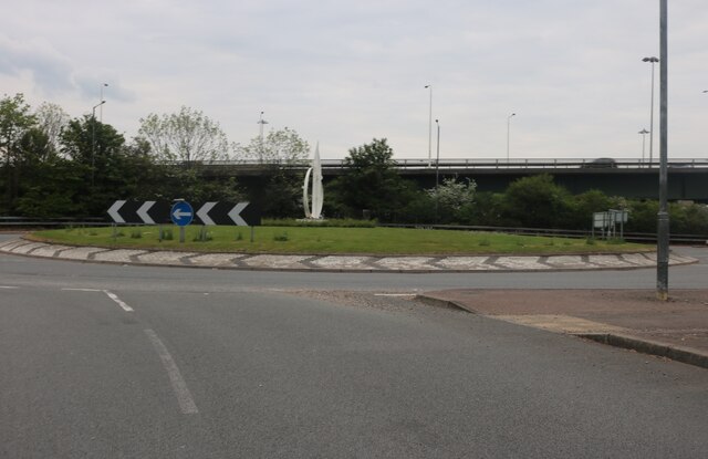
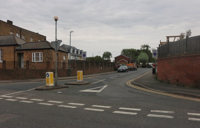
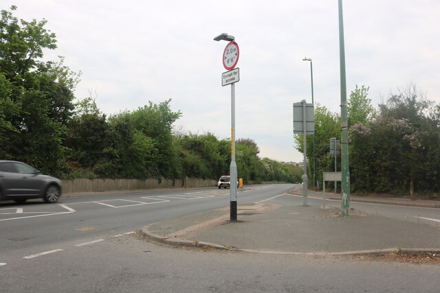
Stone Images
Images are sourced within 2km of 51.446157/0.26651 or Grid Reference TQ5774. Thanks to Geograph Open Source API. All images are credited.


Stone is located at Grid Ref: TQ5774 (Lat: 51.446157, Lng: 0.26651)
Administrative County: Kent
District: Dartford
Police Authority: Kent
What 3 Words
///weedy.modes.curry. Near Stone, Kent
Nearby Locations
Related Wikis

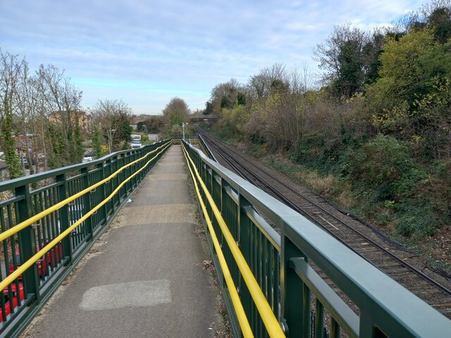
Stone Crossing railway station
Stone Crossing railway station is located on the North Kent line, north-east of the village of Stone and east of Dartford. It was originally named Stone...

Stone, Kent
Stone is a village in the Borough of Dartford in Kent, England. It is located 2.5 miles east of Dartford. == History == Iron Age pottery and artefacts...

Bluewater (shopping centre)
Bluewater Shopping Centre (commonly referred to as Bluewater) is an out-of-town shopping centre in Stone (postally Greenhithe), Kent, England, just outside...
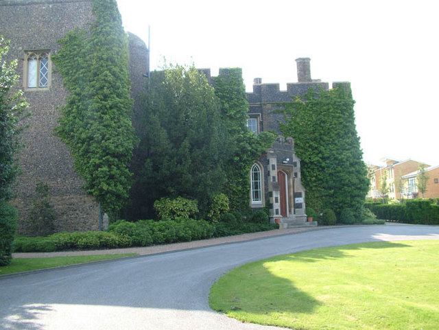
Stone Castle
Stone Castle is a castle at Stone, near Bluewater in Kent, England. It was built between 1135 and 1140 on the site where William the Conqueror signed a...

Greenhithe railway station
Greenhithe railway station (also known as Greenhithe for Bluewater) serves the village of Greenhithe in north Kent and Bluewater Shopping Centre. It is...

Greenhithe, Kent
Greenhithe is a village in the Borough of Dartford in Kent, England, and the civil parish of Swanscombe and Greenhithe. It is located 4 miles (6.5 kilometres...
Thames Europort
Thames Europort is a roll-on/roll-off port facility at Stone in Kent, England, close to Dartford. The facility is situated on the southern side of the...

Darent Valley Hospital
Darent Valley Hospital is a 478-bed, acute district general hospital in Dartford, Kent, England. The hospital has an Emergency Department. The hospital...
Nearby Amenities
Located within 500m of 51.446157,0.26651Have you been to Stone?
Leave your review of Stone below (or comments, questions and feedback).