Stone
Settlement in Gloucestershire Stroud
England
Stone
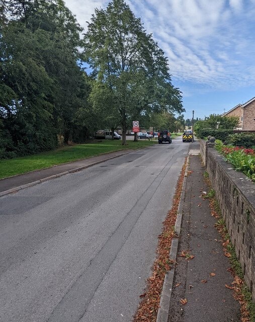
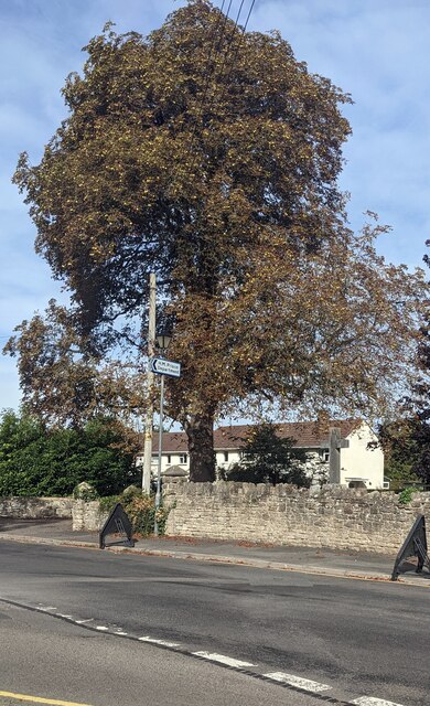
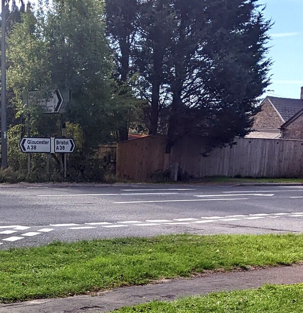
Stone is a small village located in the county of Gloucestershire, in the southwest of England. Situated approximately 5 miles west of the city of Gloucester, Stone is nestled within the beautiful countryside of the Cotswolds, an Area of Outstanding Natural Beauty.
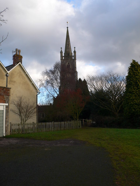
With a population of around 1,000 residents, Stone is a close-knit community that offers a peaceful and picturesque environment. The village is characterized by its charming stone cottages, which give it a quintessentially English feel. The local architecture is predominantly traditional, retaining much of its historical charm.
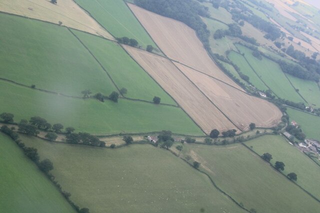
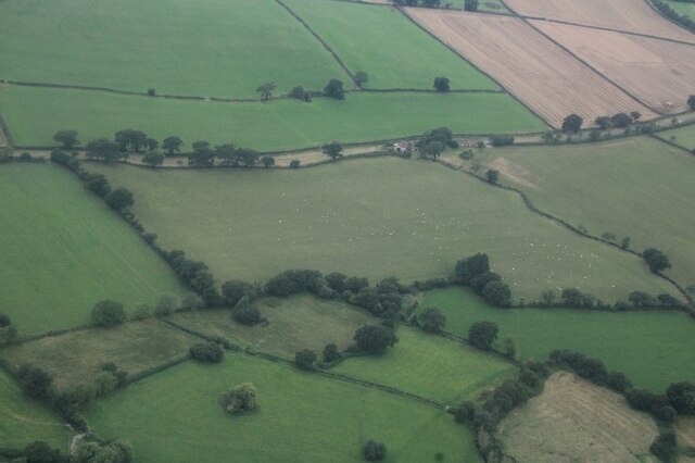
Stone is surrounded by rolling hills and lush green fields, providing ample opportunities for outdoor activities such as walking, hiking, and cycling. The nearby River Severn adds to the village's natural beauty, offering scenic views and the chance to engage in water-based activities.
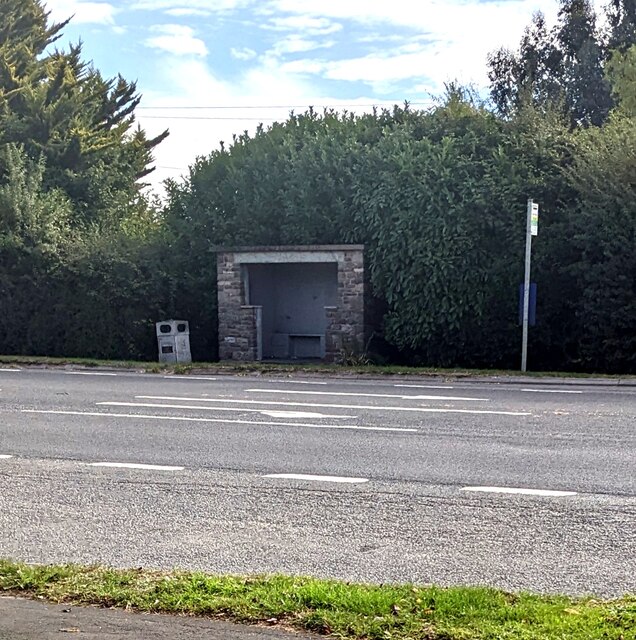
The village itself is home to a few amenities, including a primary school, a village hall, and a local pub. For further amenities, residents can easily access the nearby city of Gloucester, which offers a wider range of services, shopping centers, and recreational facilities.
Stone's location in the heart of Gloucestershire also provides convenient access to other popular destinations in the area. The historic town of Tewkesbury, with its medieval architecture and abbey, is just a short drive away. Additionally, the Cotswold towns of Cheltenham and Cirencester are within easy reach, offering further cultural and leisure opportunities.
Overall, Stone, Gloucestershire embodies the charm and tranquility of rural England, making it an idyllic place to live or visit for those seeking a peaceful countryside retreat.
If you have any feedback on the listing, please let us know in the comments section below.
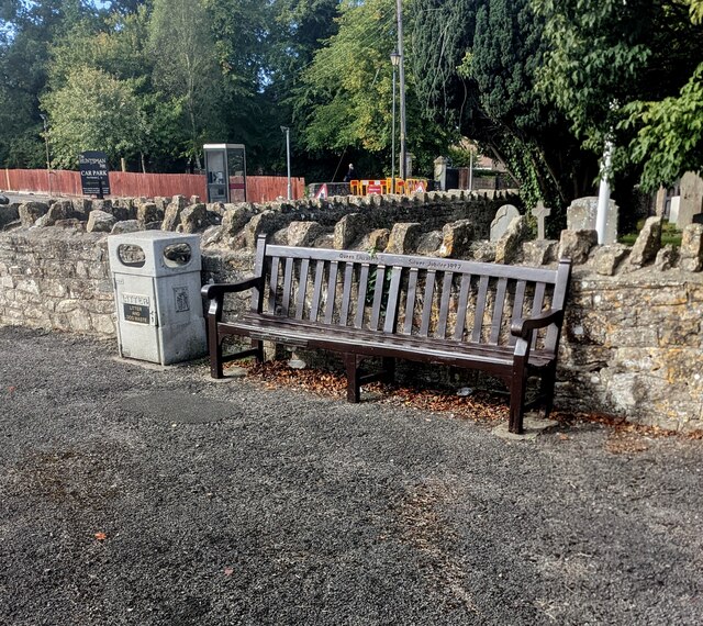
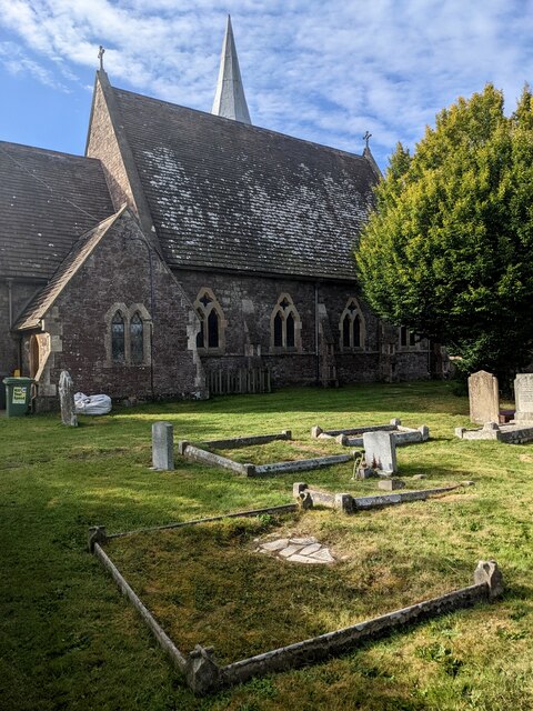
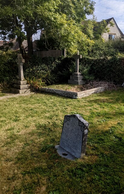
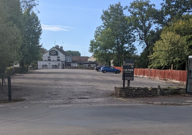
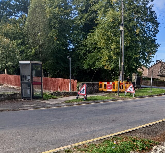
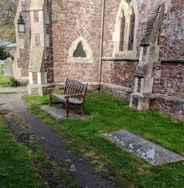
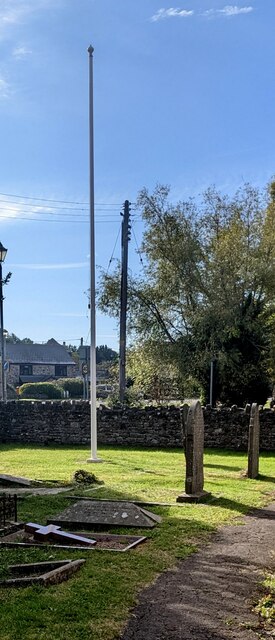
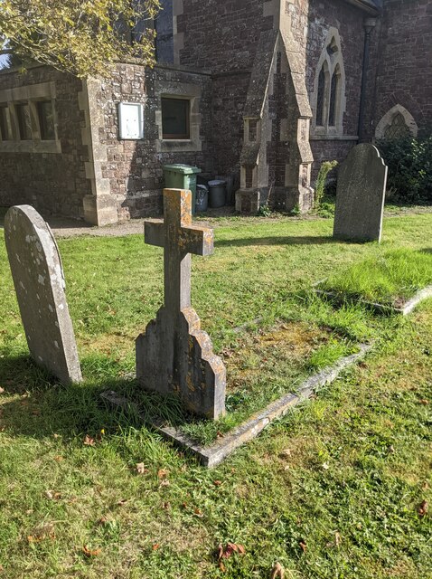
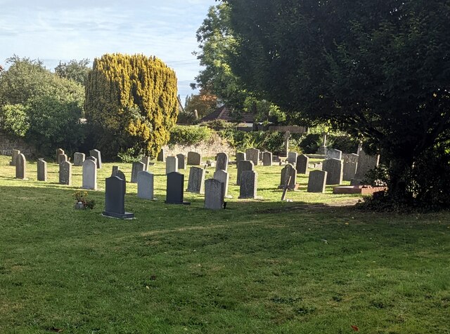
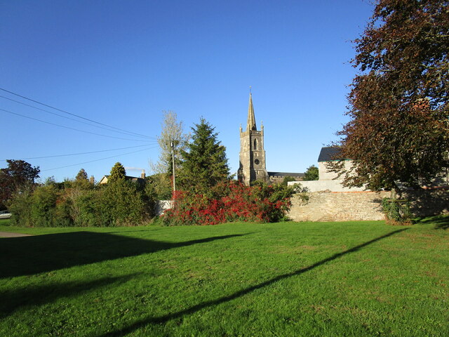
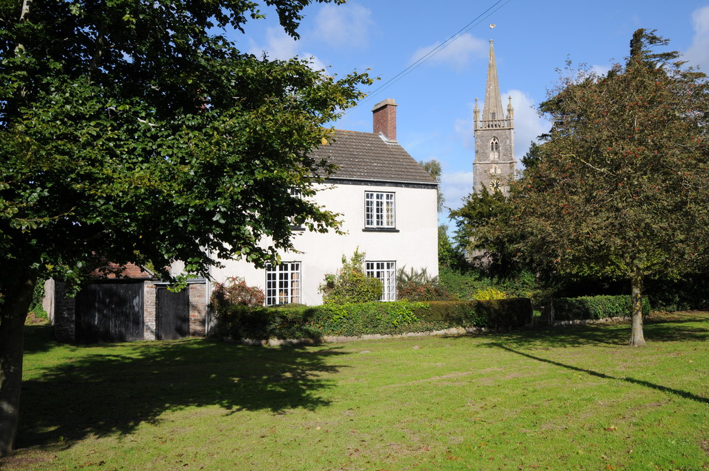
Stone Images
Images are sourced within 2km of 51.65407/-2.4613407 or Grid Reference ST6895. Thanks to Geograph Open Source API. All images are credited.
Stone is located at Grid Ref: ST6895 (Lat: 51.65407, Lng: -2.4613407)
Administrative County: Gloucestershire
District: Stroud
Police Authority: Gloucestershire
What 3 Words
///renewals.vase.pace. Near Falfield, Gloucestershire
Related Wikis
Stone, Gloucestershire
Stone is a small village in the parish of Ham and Stone, Gloucestershire, England. It stands on the A38 road, just south-west of its crossing of the Little...

Falfield
Falfield is a village, located near the northern border of the South Gloucestershire district of Gloucestershire, England on the southern edge of the Berkeley...
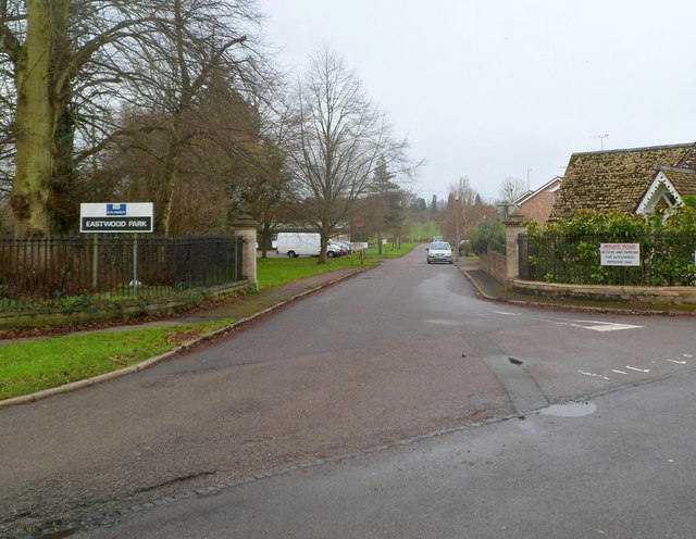
HM Prison Eastwood Park
HM Prison Eastwood Park is a women's closed category prison, located in the village of Falfield in South Gloucestershire, England. The prison is operated...
Damery Road Section
Damery Road Section (grid reference ST705943) is a 0.5-hectare (1.2-acre) geological Site of Special Scientific Interest north of Tortworth, South Gloucestershire...
Alkington, Gloucestershire
Alkington is a civil parish in the district of Stroud, Gloucestershire. It had a population of 638 in the 2001 census, increasing to 688 at the 2011 census...

Tortworth
Tortworth is a small village and civil parish, near Thornbury in Gloucestershire, England. It has a population of 147 as of 2011. It lies on the B4509...
Ham and Stone
Ham and Stone is a civil parish in the Stroud district, in the county of Gloucestershire, England. It includes the settlements of Bevington, Ham, Hystfield...
Tortworth Court
Tortworth Court is a Victorian mansion in Tortworth near Thornbury, South Gloucestershire. England. It was built in Tudor style for the 2nd Earl of Ducie...
Nearby Amenities
Located within 500m of 51.65407,-2.4613407Have you been to Stone?
Leave your review of Stone below (or comments, questions and feedback).