Stockton Brook
Settlement in Staffordshire Staffordshire Moorlands
England
Stockton Brook
Stockton Brook is a picturesque village located in the Staffordshire Moorlands district of Staffordshire, England. Situated approximately four miles southeast of the city of Stoke-on-Trent, it is nestled in a valley on the western edge of the beautiful Peak District National Park.
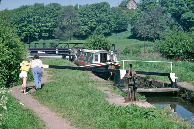
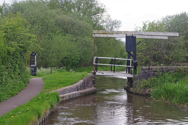
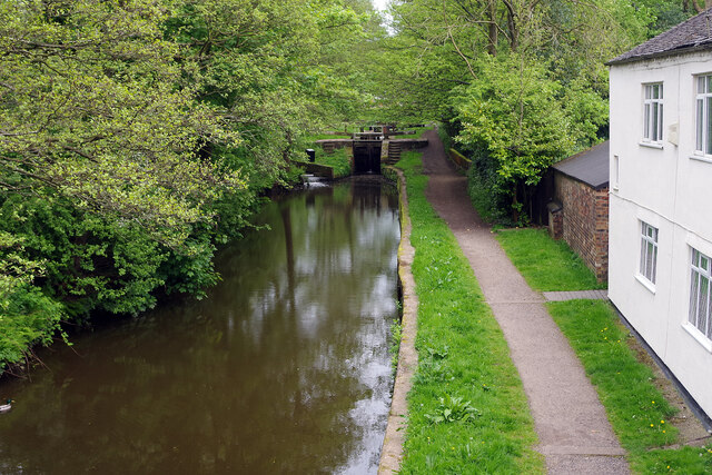
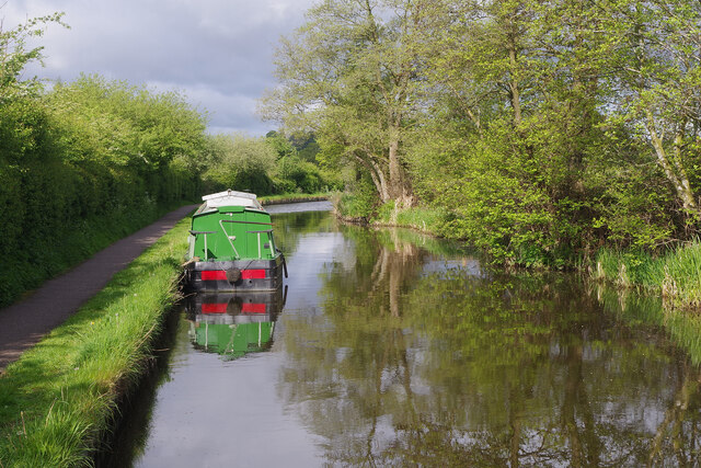
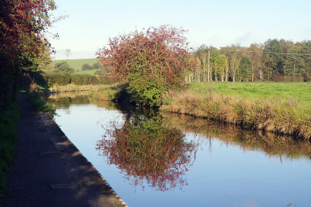
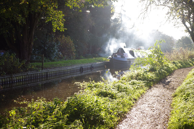
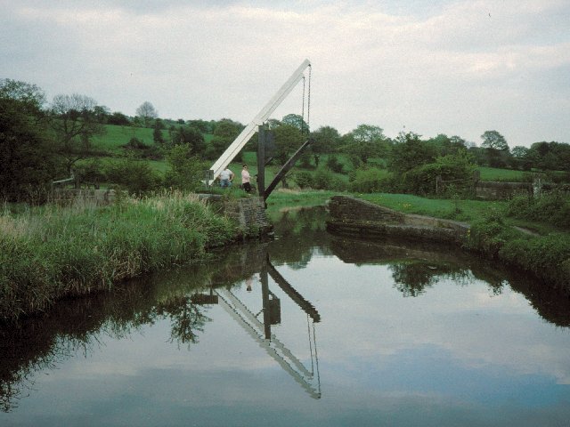
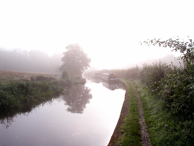
The village is known for its stunning natural beauty, with rolling hills, lush green fields, and the tranquil Stockton Brook itself, which flows through the heart of the village. The brook, from which the village takes its name, adds to the charm of the area and is a popular spot for walking, picnicking, and fishing.
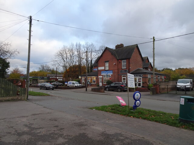
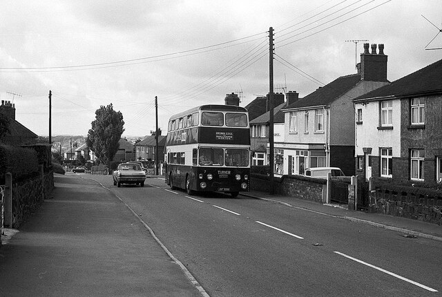
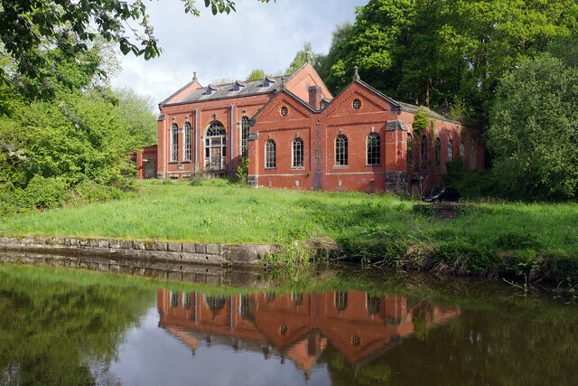
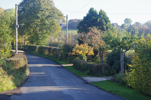
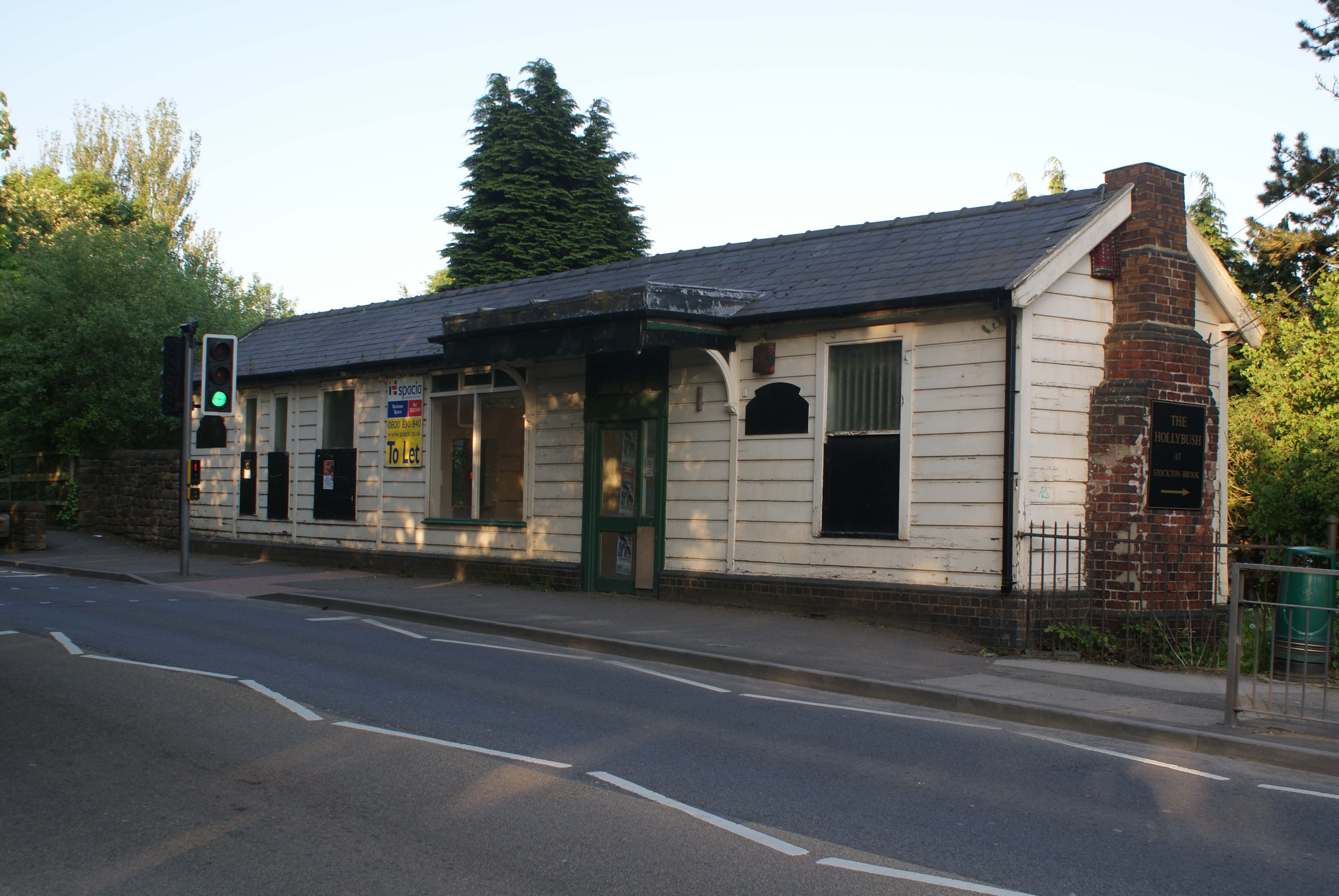
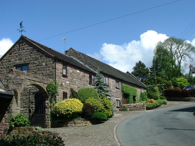
Historically, Stockton Brook was a thriving industrial village, with several coal mines and potteries in the area. However, today it has transformed into a peaceful residential area, retaining its rural character. The village is home to a close-knit community, with a mix of traditional stone cottages, modern houses, and a handful of local amenities, including a primary school, church, and a village hall.
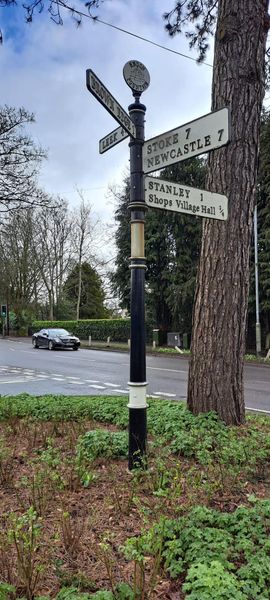
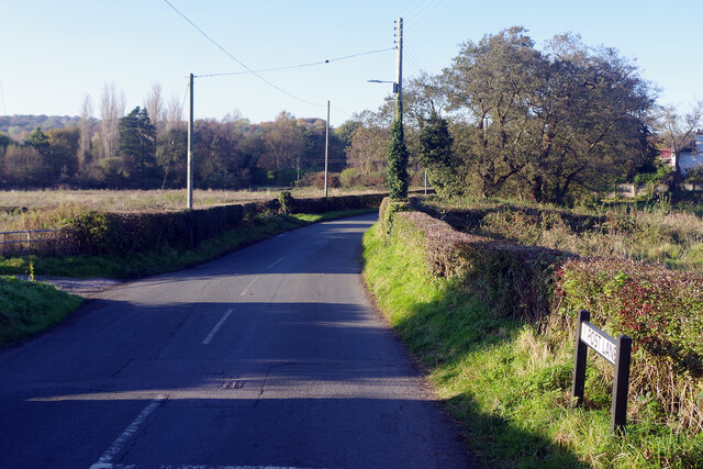
For outdoor enthusiasts, Stockton Brook offers excellent opportunities for exploring the surrounding countryside. The village is surrounded by numerous footpaths and bridleways, making it an ideal base for hikers, cyclists, and horse riders. The nearby Roaches, a stunning gritstone escarpment, is a popular destination for climbers and walkers alike.
Overall, Stockton Brook offers a tranquil retreat from the hustle and bustle of city life, with its natural beauty, community spirit, and easy access to the breathtaking landscapes of the Peak District.
If you have any feedback on the listing, please let us know in the comments section below.
Stockton Brook Images
Images are sourced within 2km of 53.066509/-2.124132 or Grid Reference SJ9152. Thanks to Geograph Open Source API. All images are credited.
Stockton Brook is located at Grid Ref: SJ9152 (Lat: 53.066509, Lng: -2.124132)
Administrative County: Staffordshire
District: Staffordshire Moorlands
Police Authority: Staffordshire
What 3 Words
///diver.caravans.surpasses. Near Cheddleton, Staffordshire
Nearby Locations
Related Wikis
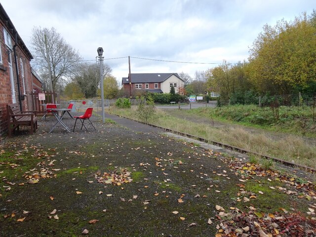
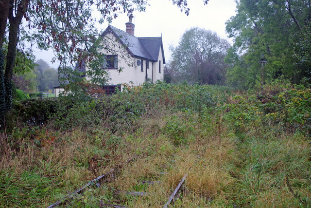
Stockton Brook railway station
Stockton Brook railway station is a disused railway station in Staffordshire. == History == The Stoke–Leek line was opened by the North Staffordshire Railway...

Endon High School
Endon High School is a coeducational secondary school located in Endon in the English county of Staffordshire.Endon Hall Primary School and St Lukes CE...

Endon and Stanley
Endon and Stanley is a civil parish in Staffordshire, England, containing the villages Endon and Stanley. The civil parish (replacing a civil parish containing...

Endon railway station
Endon railway station is a disused railway station in Staffordshire. The Stoke–Leek line was opened by the North Staffordshire Railway (NSR) in 1867 and...

Brown Edge
Brown Edge is a village and civil parish in the Staffordshire Moorlands district of Staffordshire, England. According to the 2001 census it had a population...
Stanley, Staffordshire
Stanley is a small village in the Staffordshire Moorlands district of Staffordshire, England, about 4 miles (6.4 km) southwest of Leek. The village of...

Endon
Endon is a village within the Staffordshire Moorlands district of Staffordshire, England. It is 4 miles (6.4 km) southwest of Leek and 6 miles (9.7 km...

Bagnall, Staffordshire
Bagnall is a village and civil parish in Staffordshire, England, north-east of Stoke-on-Trent. Although Bagnall is located only a few short miles from...
Nearby Amenities
Located within 500m of 53.066509,-2.124132Have you been to Stockton Brook?
Leave your review of Stockton Brook below (or comments, questions and feedback).