Tinster Wood
Wood, Forest in Staffordshire Staffordshire Moorlands
England
Tinster Wood
Tinster Wood is a picturesque woodland located in the county of Staffordshire, England. Situated in the heart of the Staffordshire Moorlands, this tranquil forest covers an area of approximately 100 acres and is a haven for nature enthusiasts and outdoor adventurers alike.
The wood is primarily composed of native broadleaf trees, including oak, beech, and birch, creating a rich and diverse ecosystem. The dense foliage provides a habitat for a variety of wildlife species, such as red foxes, badgers, and an array of birdlife. The forest floor is adorned with a carpet of bluebells in the spring, adding to the wood's natural beauty.
Tinster Wood offers a network of well-maintained walking trails that meander through the woodland, allowing visitors to explore its hidden treasures. These pathways cater to different levels of difficulty, making it accessible for families, hikers, and casual strollers alike. There are also designated picnic areas and benches strategically placed throughout the wood, providing the perfect spot to rest and enjoy the serene surroundings.
The wood is managed by the local Staffordshire Wildlife Trust, who actively work to preserve and enhance the natural habitat. They organize educational programs and events throughout the year, aiming to educate visitors about the importance of conservation and sustainable woodland management.
Tinster Wood, with its tranquil ambiance and beautiful scenery, is a delightful destination for those seeking a peaceful escape from the hustle and bustle of everyday life. Whether it's a leisurely walk, birdwatching, or simply immersing oneself in nature, this woodland sanctuary has something to offer for everyone.
If you have any feedback on the listing, please let us know in the comments section below.
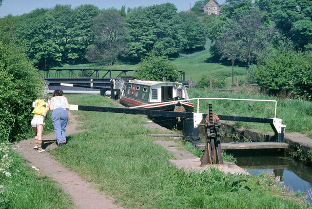
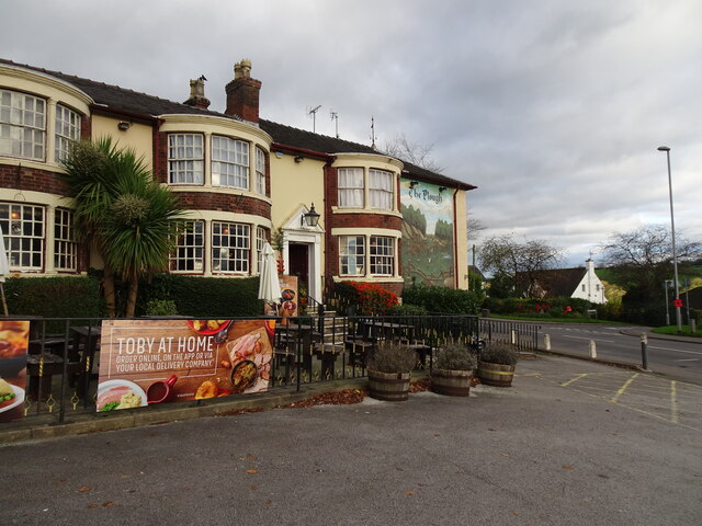
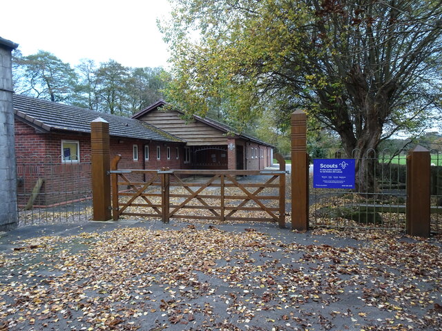
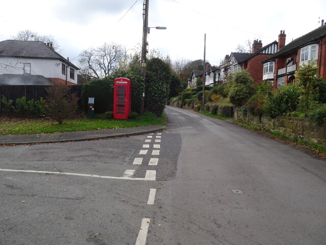
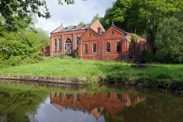
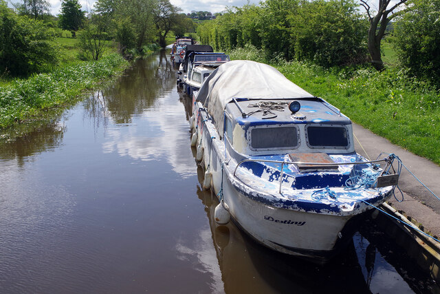
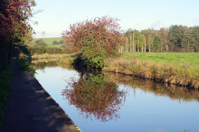
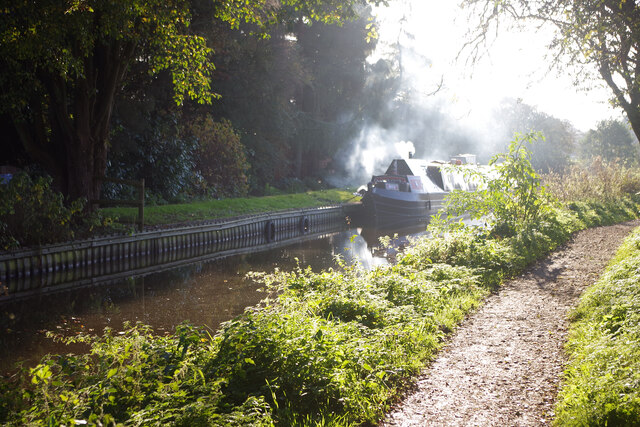
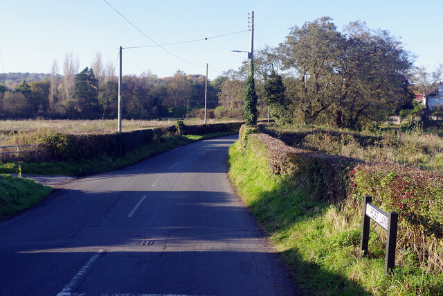
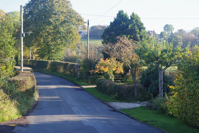
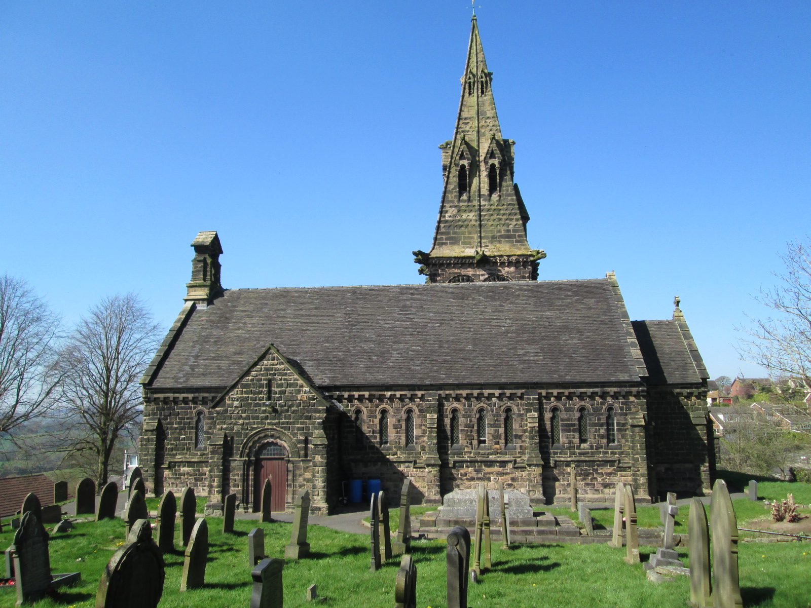
Tinster Wood Images
Images are sourced within 2km of 53.071644/-2.1288226 or Grid Reference SJ9152. Thanks to Geograph Open Source API. All images are credited.
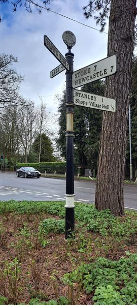
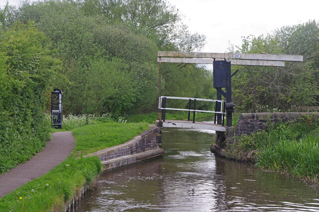
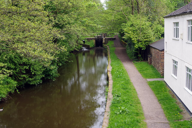
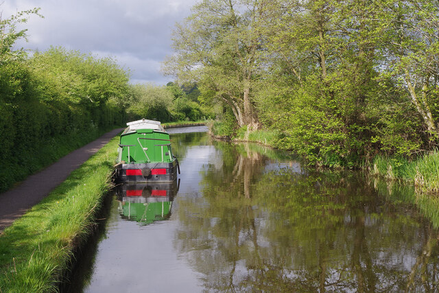
Tinster Wood is located at Grid Ref: SJ9152 (Lat: 53.071644, Lng: -2.1288226)
Administrative County: Staffordshire
District: Staffordshire Moorlands
Police Authority: Staffordshire
What 3 Words
///theme.showed.snow. Near Tunstall, Staffordshire
Nearby Locations
Related Wikis

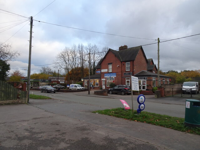
Brown Edge
Brown Edge is a village and civil parish in the Staffordshire Moorlands district of Staffordshire, England. According to the 2001 census it had a population...
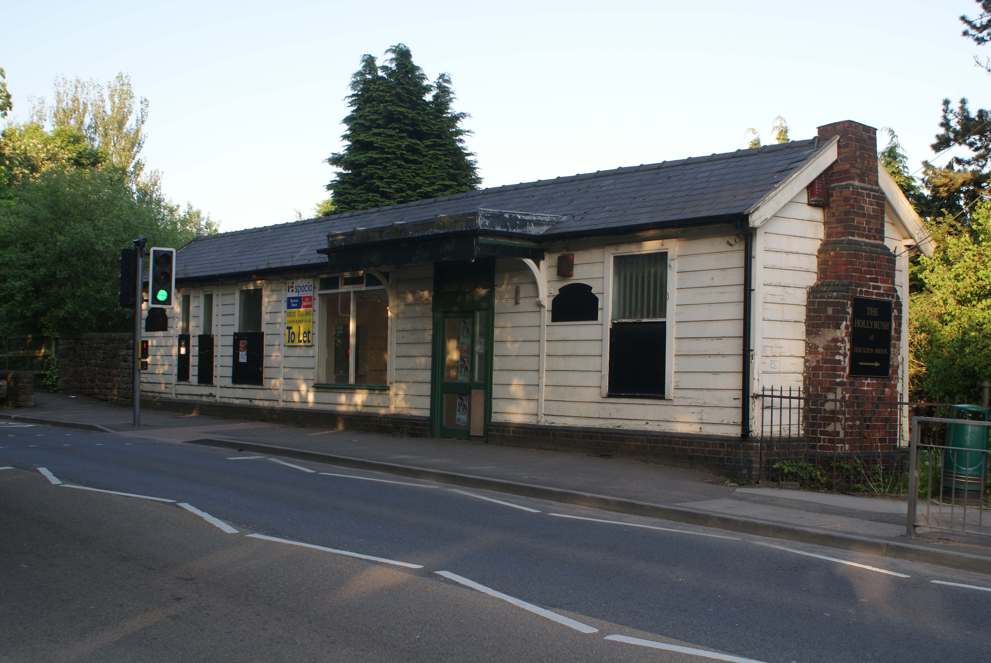
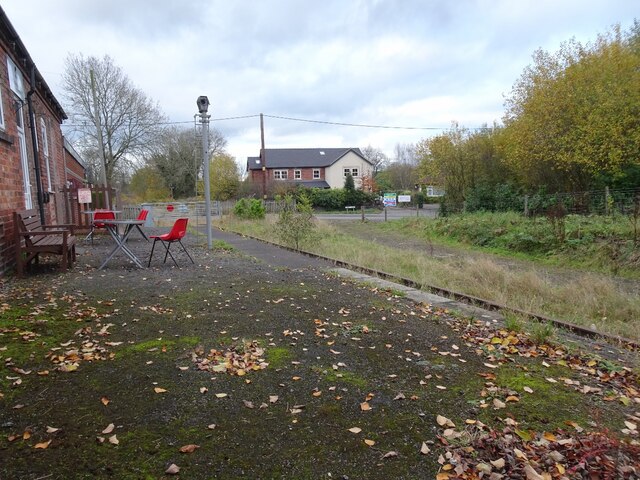
Stockton Brook railway station
Stockton Brook railway station is a disused railway station in Staffordshire. == History == The Stoke–Leek line was opened by the North Staffordshire Railway...

Endon High School
Endon High School is a coeducational secondary school located in Endon in the English county of Staffordshire.Endon Hall Primary School and St Lukes CE...

Endon railway station
Endon railway station is a disused railway station in Staffordshire. The Stoke–Leek line was opened by the North Staffordshire Railway (NSR) in 1867 and...

Endon and Stanley
Endon and Stanley is a civil parish in Staffordshire, England, containing the villages Endon and Stanley. The civil parish (replacing a civil parish containing...

Endon
Endon is a village within the Staffordshire Moorlands district of Staffordshire, England. It is 4 miles (6.4 km) southwest of Leek and 6 miles (9.7 km...
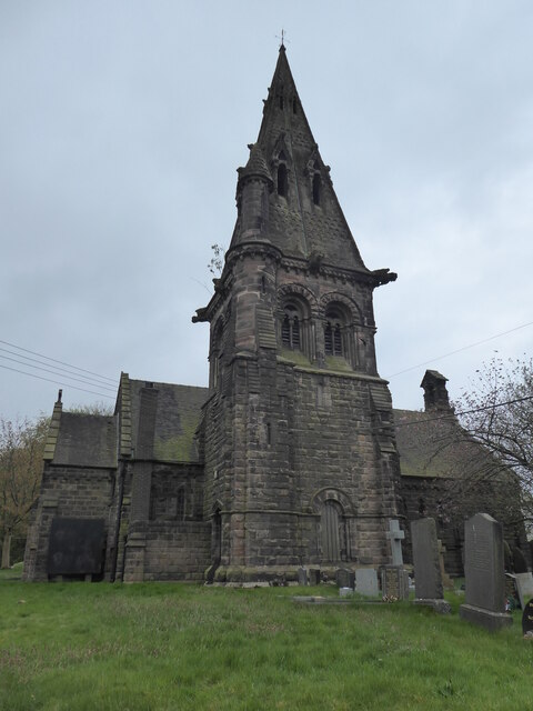
St Anne's Church, Brown Edge
St Anne's Church is an Anglican church in Brown Edge, Staffordshire, England, and in the Diocese of Lichfield. The building is Grade II listed. == History... ==
St Luke's Church, Endon
St Luke's Church is an Anglican church in Endon, Staffordshire, England, and in the Diocese of Lichfield. The building, dating originally from about 1720...
Related Videos
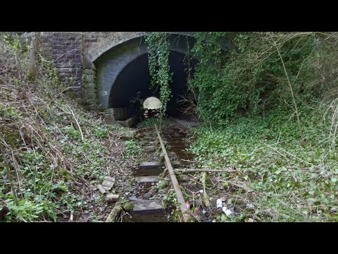
Abandoned Railway Walk, English Countryside 4K
https://www.buymeacoffee.com/Daveswalks All support is hugely appreciated and it helps me keep the channel going! No talking ...


Stormy Night Walk on Caldon Canal, English Countryside 4K
https://www.buymeacoffee.com/Daveswalks All support is hugely appreciated and it helps me keep the channel going! No talking ...

Caldon Canal Walk, English Countryside 4K
https://www.buymeacoffee.com/Daveswalks All support is hugely appreciated and it helps me keep the channel going! No talking ...
Nearby Amenities
Located within 500m of 53.071644,-2.1288226Have you been to Tinster Wood?
Leave your review of Tinster Wood below (or comments, questions and feedback).