Stockton
Settlement in Norfolk South Norfolk
England
Stockton
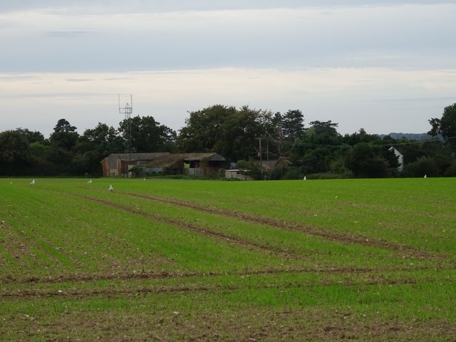
Stockton is a quaint village located in the county of Norfolk, England. Situated on the banks of the River Waveney, it is part of the South Norfolk district and lies approximately 15 miles southeast of the city of Norwich. With a population of around 500 residents, Stockton is a small but tight-knit community known for its tranquility and natural beauty.
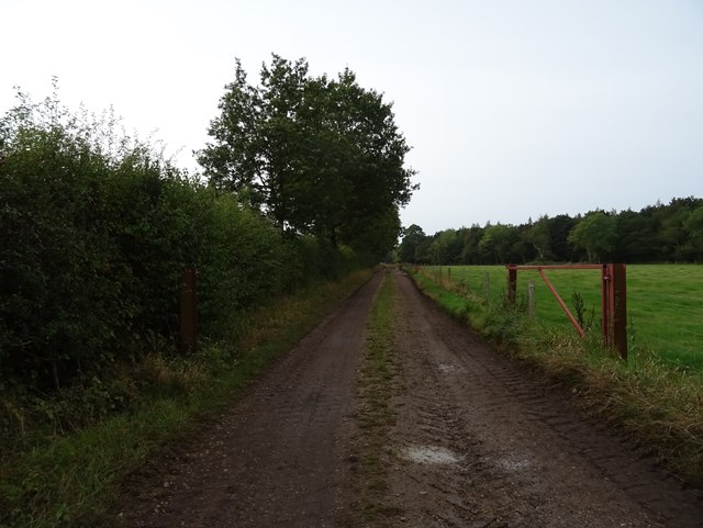
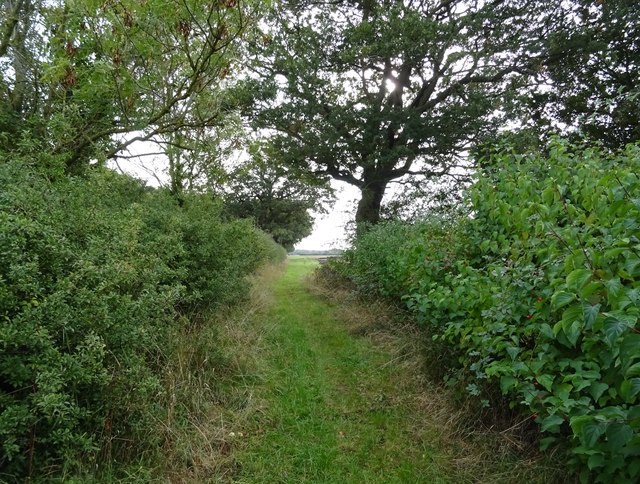
The village is surrounded by picturesque countryside, offering stunning views of rolling hills, green meadows, and lush woodlands. The River Waveney, a prominent feature of the area, adds to the charm of Stockton, providing opportunities for boating, fishing, and leisurely walks along its banks.
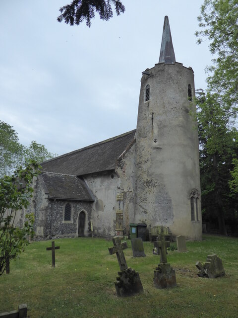
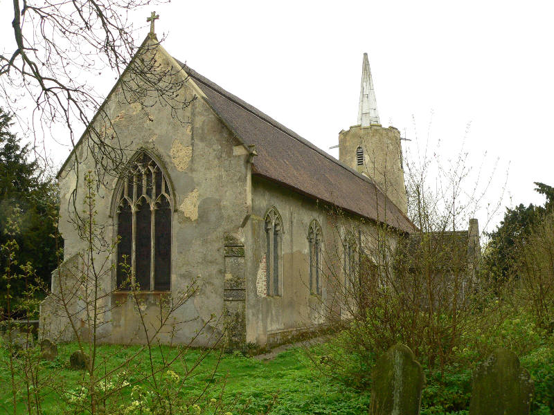
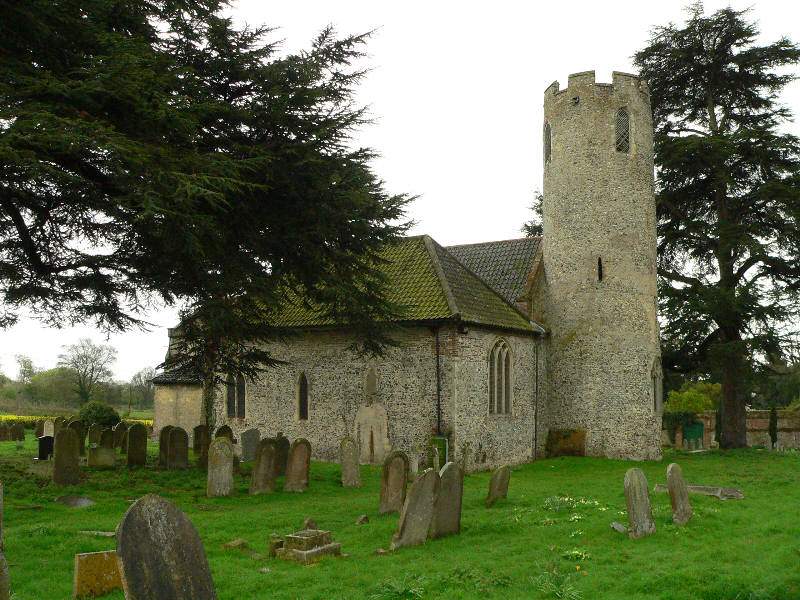
One of the notable landmarks in Stockton is the St. Michael and All Angels Church, a medieval church dating back to the 14th century. Its architectural beauty and historical significance make it a popular attraction for visitors and locals alike. Additionally, the village boasts a small primary school, a village hall, and a friendly pub serving delicious local cuisine.
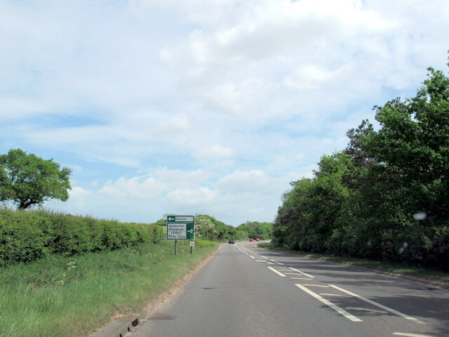
Stockton is well-connected to neighboring towns and cities via the A146 road, ensuring easy access for residents and visitors alike. The village offers a peaceful and idyllic lifestyle, attracting those seeking a quiet retreat away from the hustle and bustle of larger urban areas.
Overall, Stockton, Norfolk is a charming village that captures the essence of rural England. Its natural surroundings, community spirit, and historical landmarks make it a delightful place to live or visit.
If you have any feedback on the listing, please let us know in the comments section below.
Stockton Images
Images are sourced within 2km of 52.492313/1.5160899 or Grid Reference TM3894. Thanks to Geograph Open Source API. All images are credited.


Stockton is located at Grid Ref: TM3894 (Lat: 52.492313, Lng: 1.5160899)
Administrative County: Norfolk
District: South Norfolk
Police Authority: Norfolk
What 3 Words
///bind.weeds.skin. Near Beccles, Suffolk
Nearby Locations
Related Wikis
Stockton, Norfolk
Stockton is a small village in Norfolk, England near the A146, just over 2 miles from Beccles. It covers an area of 3.65 km2 (1.41 sq mi) and had a population...

Leet Hill, Kirby Cane
Leet Hill, Kirby Cane is a 6.5-hectare (16-acre) geological Site of Special Scientific Interest in Kirby Cane in Norfolk. It is a Geological Conservation...
Kirby Cane
Kirby Cane is a scattered village and civil parish centred 3.8 miles (6.1 km) west northwest of Beccles and 2.7 miles (4.3 km) northeast of Bungay. It...

St Margaret's Church, Hales
St Margaret's Church is a redundant Anglican church in the village of Hales, Norfolk, England. It is recorded in the National Heritage List for England...

Geldeston railway station
Geldeston (also Geldeston Halt) was a station on the Waveney Valley Line serving the village of Geldeston, Norfolk. It was operational for passenger services...

Haughey Air AgustaWestland AW139 crash
On 13 March 2014, an AgustaWestland AW139 helicopter of Haughey Air crashed shortly after taking off at night in fog from Gillingham, Norfolk, United Kingdom...

St Andrew's Church, Raveningham
St Andrew's Church is the parish church of Raveningham in Norfolk, England, and in the Diocese of Norwich. It is a round-tower church, dating mostly from...

Hales Hall
Hales Hall is a notable English country house in Loddon, Norfolk, largely dating from the 15th century. It was once the seat of the Hobart family, including...
Nearby Amenities
Located within 500m of 52.492313,1.5160899Have you been to Stockton?
Leave your review of Stockton below (or comments, questions and feedback).