Boddington

Settlement in Gloucestershire Tewkesbury

England

Boddington

Service station on the A38, Coombe Hill
Service station on the A38, Coombe Hill Credit: JThomas

Boddington is a small village located in the Gloucestershire county of England. Situated in the South West region, it lies about 9 miles southwest of Cheltenham and 20 miles northeast of Bristol. Boddington is nestled in the picturesque Cotswold Hills, known for its stunning natural beauty and charming rural landscapes.

The village itself is relatively small, with a population of around 500 residents. It has a quintessential English countryside feel, with quaint cottages, narrow lanes, and traditional stone buildings. The heart of the village revolves around its historic parish church, St. Mary Magdalene, which dates back to the 12th century and is a prominent architectural feature.

The surrounding area is predominantly agricultural, with rolling fields and farmland dominating the scenery. Boddington benefits from its proximity to the Cotswold Area of Outstanding Natural Beauty, offering residents and visitors ample opportunities for outdoor activities such as hiking, cycling, and horse riding.

Despite its small size, Boddington boasts a close-knit community and a range of amenities. These include a local primary school, a village hall hosting various community events, a pub, and a few small businesses. The village is well-connected to neighboring towns and cities via road networks, making it easily accessible for commuters and those seeking a peaceful rural lifestyle.

Overall, Boddington offers a tranquil and idyllic setting for those seeking a slower pace of life amidst stunning natural surroundings. It is a place where one can escape the hustle and bustle of urban areas and enjoy the beauty of the English countryside.

If you have any feedback on the listing, please let us know in the comments section below.
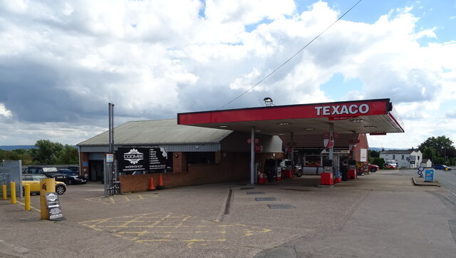
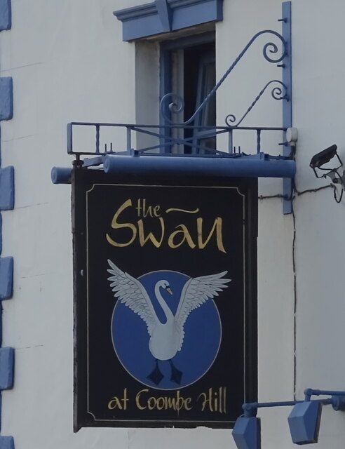
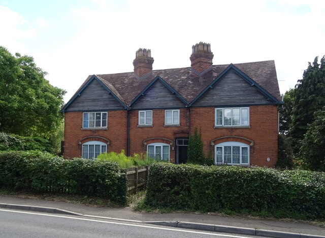
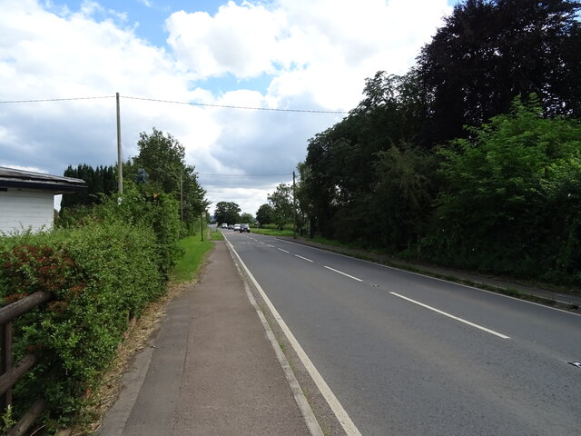
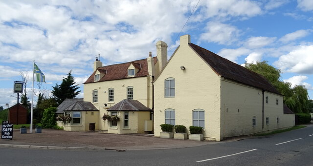
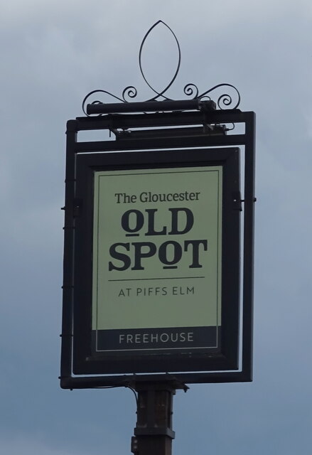
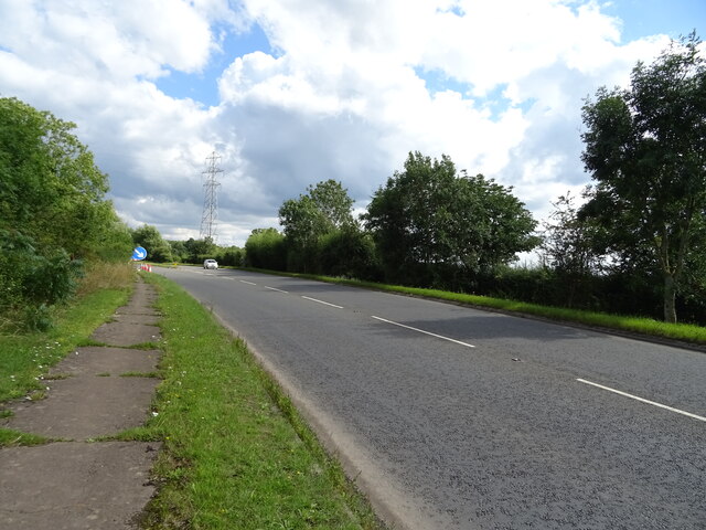
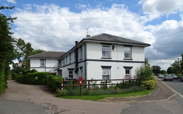
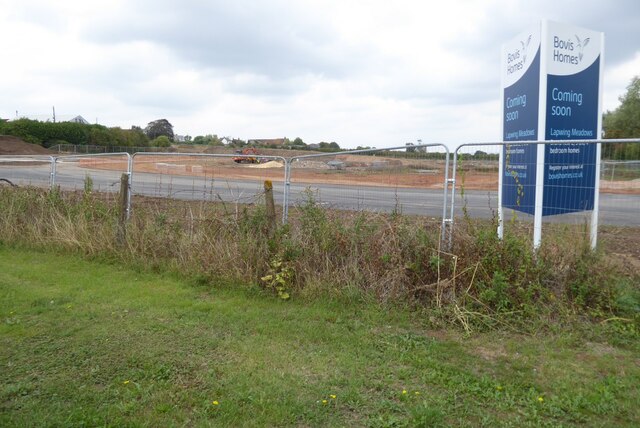
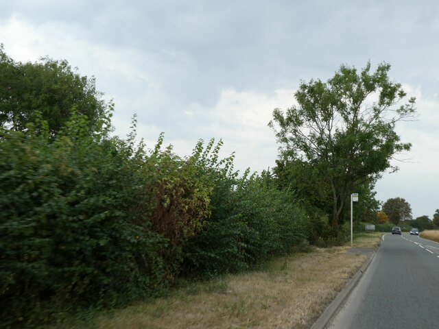
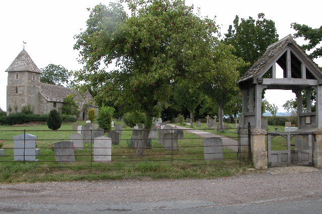
Boddington Images

Images are sourced within 2km of 51.925831/-2.156095 or Grid Reference SO8925. Thanks to Geograph Open Source API. All images are credited.

Service station on the A38, Coombe Hill
The Swan Inn, Coombe Hill On the A38.
The Swan Inn, Coombe Hill
On the A38.
The Swan Inn, Coombe Hill On the A38.
The Swan Inn, Coombe Hill
On the A38.
Sign for the Swan Inn, Coombe Hill
House, Coombe End
House, Coombe End
Brick built barn on the A4019, Coombe End
Cottages on the A4019, Knightsbridge
A4019, Knightsbridge Towards Cheltenham.
A4019, Knightsbridge
Towards Cheltenham.
The Gloucester Old Spot On the A4019.
The Gloucester Old Spot
On the A4019.
Sign for the Gloucester Old Spot
A4019 towards Cheltenham
Elizabeth II postbox on the A4019, Knightsbridge Postbox No. GL51 162.

See <a href="https://www.geograph.org.uk/photo/6949214">SO8926 : House on the A4019, Knightsbridge</a> for context.
Elizabeth II postbox on the A4019, Knightsbridge
Postbox No. GL51 162. See SO8926 : House on the A4019, Knightsbridge for context.
House on the A4019, Knightsbridge Showing position of Postbox No. GL51 162.

See <a href="https://www.geograph.org.uk/photo/6949213">SO8926 : Elizabeth II postbox on the A4019, Knightsbridge</a> for postbox.
House on the A4019, Knightsbridge
Showing position of Postbox No. GL51 162. See SO8926 : Elizabeth II postbox on the A4019, Knightsbridge for postbox.
Construction site at Coombe Hill Land being prepared for building at Coombe Hill
Construction site at Coombe Hill
Land being prepared for building at Coombe Hill
Construction site at Coombe Hill Land being prepared for building at Coombe Hill.
Construction site at Coombe Hill
Land being prepared for building at Coombe Hill.
The A4019 at Coombe Hill The A4019 approaching its junction with the A39 at Coombe Hill.
The A4019 at Coombe Hill
The A4019 approaching its junction with the A39 at Coombe Hill.
Bus stop on A4019, south of Knightsbridge
Texaco filling station, Coombe
Show me another place!

Boddington is located at Grid Ref: SO8925 (Lat: 51.925831, Lng: -2.156095)

Administrative County: Gloucestershire

District: Tewkesbury

Police Authority: Gloucestershire

What 3 Words

///port.egging.scorched. Near Churchdown, Gloucestershire

Related Wikis

Dudley Lloyd-Evans

Dudley Lloyd-Evans, (1895 – 20 March 1972) was a Welsh-born soldier, airman and flying ace. After being decorated for his infantry service during the...

Boddington, Gloucestershire

Boddington is a village and parish near Cheltenham. The population taken at the 2011 census was 266. It is home to RAF Boddington. == References... ==

ISS Boddington

ISS Boddington is an installation of Defence Digital (formerly Information Systems & Services), an operating cluster of the Ministry of Defence. It was...

Barrow, Gloucestershire

The Barrow is a hamlet in Gloucestershire, England.ISS Boddington is within the hamlet. == References == == External links == Media related to Barrow...

Knightsbridge, Gloucestershire

Knightsbridge is a hamlet neighbouring Elmstone-Hardwicke and Uckington, close to Junction 10 of the M5 motorway, near Cheltenham in Gloucestershire, England...

Staverton, Gloucestershire

Staverton is a village between the city of Gloucester and the town of Cheltenham in Gloucestershire, England, in the borough of Tewkesbury. The population...

Coombe Hill, Tewkesbury

Coombe Hill is a hamlet in the civil parish of Leigh in Gloucestershire, England. It lies on the A38 road between Gloucester and Tewkesbury, at the junction...

Coombe Hill Canal

Coombe Hill Canal lies in the Vale of Gloucester, south west England, north of Leigh and runs west 2.75 miles (4.43 km) from Coombe Hill Basin to the River...

Nearby Amenities

Located within 500m of 51.925831,-2.156095
Boddington
Is In: Gloucestershire, England, UK
Place: hamlet
Wikidata: Q4936415
Lat/Long: 51.9256684/-2.1551724
Bus Stop
Boddington House
Naptan AtcoCode: 1600GL529
Naptan Bearing: N
Naptan CommonName: Boddington House
Naptan NaptanCode: glodmgmw
Naptan Street: Piff's Elm Rd
Naptan Verified: no
Source: naptan_import
Lat/Long: 51.9264335/-2.1556213
Bus Stop
Boddington House
Naptan AtcoCode: 1600GL530
Naptan Bearing: S
Naptan CommonName: Boddington House
Naptan NaptanCode: glodmgpa
Naptan Street: Piff's Elm Rd
Naptan Verified: no
Source: naptan_import
Lat/Long: 51.9263617/-2.1554901
Post Box
Collection Times: Mo-Fr 16:15; Sa 09:00
Operator: Royal Mail
Post Box Type: lamp
Ref: GL51 84
Royal Cypher: EIIR
Royal Cypher Wikidata: Q33102113
Survey Date: 2017-02-07
Lat/Long: 51.925973/-2.1554319
Barrier: stile
Foot: designated
Lat/Long: 51.9261554/-2.1591013
Aerialway: pylon
Power: pole
Lat/Long: 51.9224304/-2.1597772
Power: pole
Lat/Long: 51.9224764/-2.1583312
Power: pole
Lat/Long: 51.9216364/-2.1582956
Power: pole
Lat/Long: 51.9231427/-2.157964
Power: pole
Lat/Long: 51.9244532/-2.1571386
Power: pole
Lat/Long: 51.9251444/-2.1567417
Power: pole
Lat/Long: 51.9238696/-2.1575062
Boddington Church
Power: pole
Transformer: distribution
Voltage Primary: 11000
Lat/Long: 51.926143/-2.1551563
Power: pole
Lat/Long: 51.9263262/-2.1559811
Power: pole
Lat/Long: 51.9257663/-2.1563029
Generator Source: solar
Power: generator
Source: Bing
Lat/Long: 51.9267041/-2.155863
Kennel Cottages
Power: pole
Transformer: distribution
Voltage Primary: 11000
Lat/Long: 51.9271668/-2.1581034
Power: pole
Lat/Long: 51.9271027/-2.1570539
Location Transition: yes
Power: pole
Lat/Long: 51.9270275/-2.1559194
Power: pole
Lat/Long: 51.927135/-2.1550785
Power: pole
Lat/Long: 51.9274848/-2.1521348
Power: pole
Lat/Long: 51.9272797/-2.1538661
Power: pole
Lat/Long: 51.9273839/-2.1529636
Power: pole
Lat/Long: 51.9281902/-2.1507749
Power: pole
Lat/Long: 51.9275865/-2.1512704
The data included in this document is from www.openstreetmap.org. The data is made available under ODbL.

Have you been to Boddington?

Leave your review of Boddington below (or comments, questions and feedback).