Bodedern

Settlement in Anglesey

Wales

Bodedern

Presaddfed Neolithic Chambered Tomb <span class="nowrap"><a title="https://www.megalithic.co.uk/article.php?sid=5291" rel="nofollow ugc noopener" href="https://www.megalithic.co.uk/article.php?sid=5291">Link</a><img style="margin-left:2px;" alt="External link" title="External link - shift click to open in new window" src="https://s1.geograph.org.uk/img/external.png" width="10" height="10"/></span>
Presaddfed Neolithic Chambered Tomb Credit: Sandy Gerrard

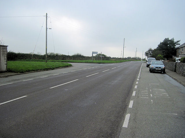
Bodedern is a small village located in the southwestern part of the island of Anglesey, in North Wales, United Kingdom. It is situated about 4 miles southeast of Holyhead, a major port town, and about 12 miles west of the island's largest town, Llangefni.

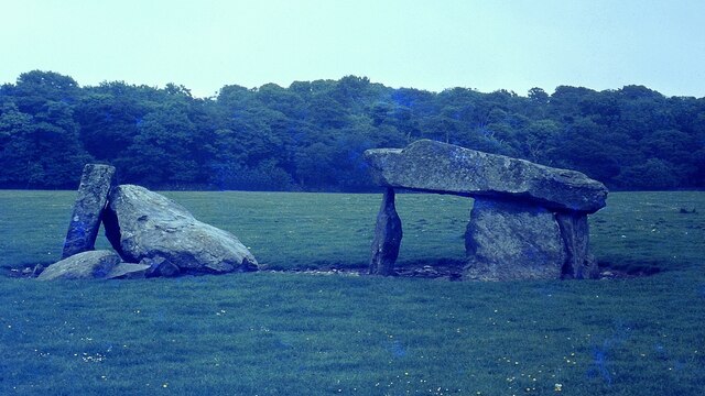
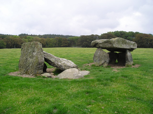
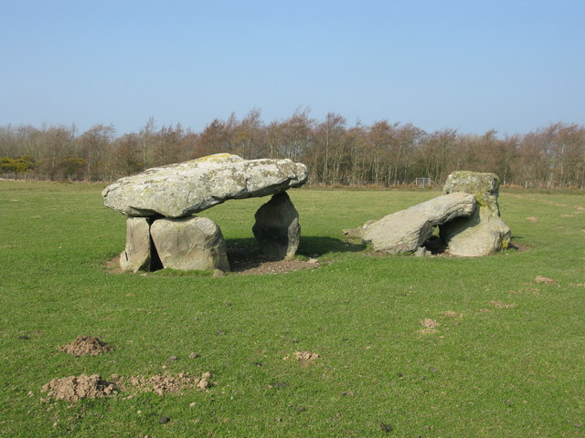
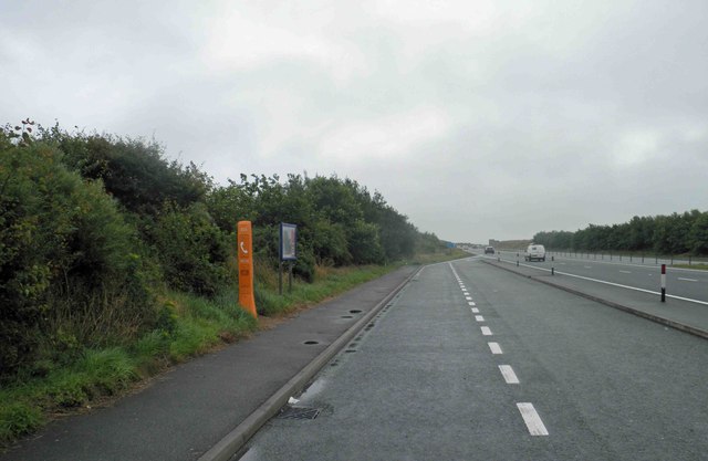
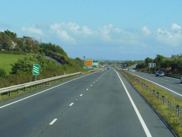
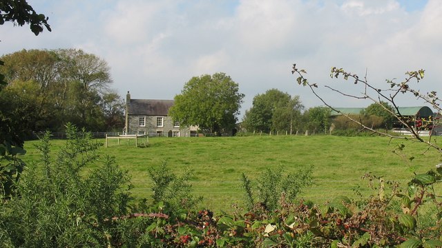
The village is set amidst scenic countryside, with rolling green fields and distant views of the Snowdonia mountain range. Bodedern is known for its peaceful and idyllic setting, making it a popular destination for tourists seeking a tranquil escape.

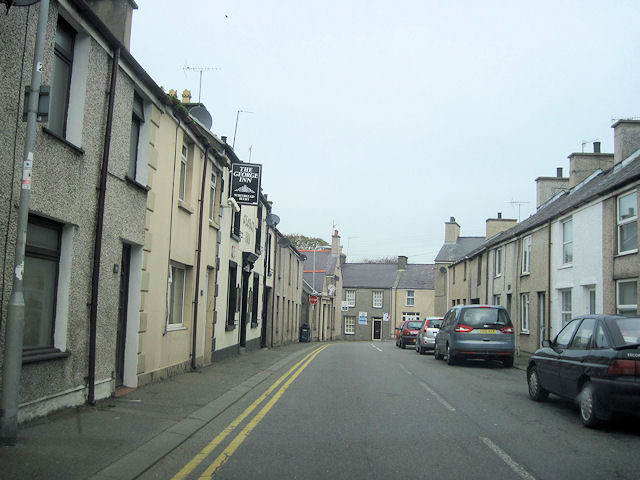
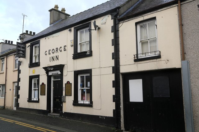
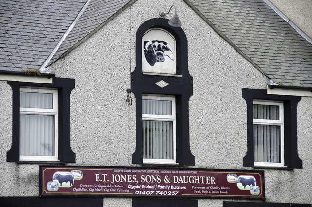
Bodedern has a small population, primarily consisting of local residents who are engaged in agriculture and other traditional industries. The village itself is centered around a main street, which is lined with a few local amenities including a post office, a convenience store, and a pub.

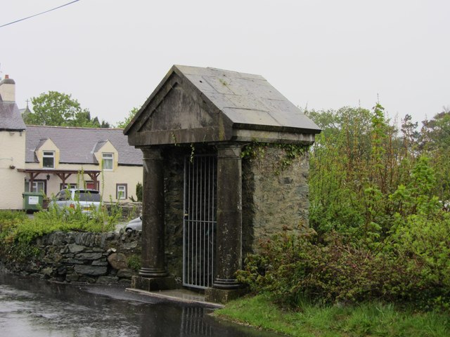
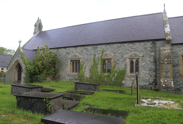
One of the notable landmarks in Bodedern is the Church of St. Edern, a historic place of worship dating back to the 14th century. The church features an impressive bell tower and a well-preserved interior with beautiful stained glass windows.

The village also serves as a gateway to several attractions in the surrounding area. Just a short drive away is South Stack Lighthouse, a popular tourist spot known for its dramatic cliffs and seabird colonies. Additionally, Bodedern is within close proximity to several beautiful beaches, such as Trearddur Bay and Rhosneigr, which are renowned for their sandy shores and water sports opportunities.

Overall, Bodedern offers visitors a peaceful retreat in the heart of Anglesey's picturesque countryside, with easy access to stunning natural landscapes and historic sites.

If you have any feedback on the listing, please let us know in the comments section below.
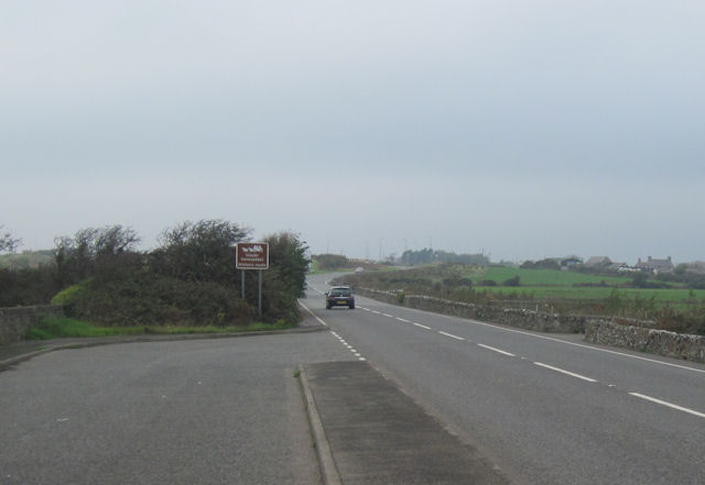
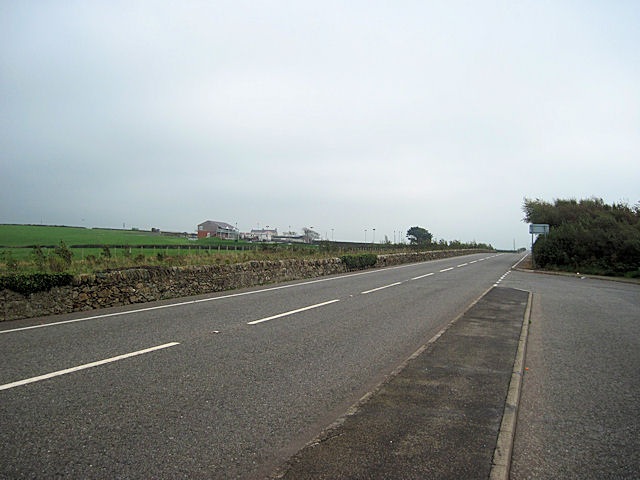
Bodedern Images

Images are sourced within 2km of 53.290352/-4.504009 or Grid Reference SH3379. Thanks to Geograph Open Source API. All images are credited.

Presaddfed Neolithic Chambered Tomb <span class="nowrap"><a title="https://www.megalithic.co.uk/article.php?sid=5291" rel="nofollow ugc noopener" href="https://www.megalithic.co.uk/article.php?sid=5291">Link</a><img style="margin-left:2px;" alt="External link" title="External link - shift click to open in new window" src="https://s1.geograph.org.uk/img/external.png" width="10" height="10"/></span>
Presaddfed Neolithic Chambered Tomb
London Road Bodedern
A5025 south at Llanynghenedl From lay by at junction with B5109
A5025 south at Llanynghenedl
From lay by at junction with B5109
A5025 north at Llanynghenedl From lay-by by phone box
A5025 north at Llanynghenedl
From lay-by by phone box
Bodedern Memorial The Memorial now houses a water pump but is ruined by the security gate
Bodedern Memorial
The Memorial now houses a water pump but is ruined by the security gate
Presaddfed Burial Chamber
Presaddfed Burial Chambers This monument was erected in the Neolithic Age (4000-2000 BC) for the communal burial of the dead. It was probably covered originally by a mound of earth or stones.
Presaddfed Burial Chambers
This monument was erected in the Neolithic Age (4000-2000 BC) for the communal burial of the dead. It was probably covered originally by a mound of earth or stones.
Looking towards Mynydd-y-gôf
The lane to Fadog
The lane to Fadog
A5 looking west towards A55 roundabout at Dalar Hir From large lay By
A5 looking west towards A55 roundabout at Dalar Hir
From large lay By
Across the A5 to the Karting track From large layby
Across the A5 to the Karting track
From large layby
Approaching entrance to Bodowyr camping site Just past Rhosydd
Approaching entrance to Bodowyr camping site
Just past Rhosydd
A55 lay-by heading east near Gwyddfor, Anglesey
The A55 North Wales Expressway Towards junction 4.
The A55 North Wales Expressway
Towards junction 4.
Gwesty'r Goron - Crown Hotel Bodedern
Bodedern Parish Church
George Inn, Bodedern
Butcher's shop,Bodedern The renowned traditional butcher's in Bodedern
Butcher's shop,Bodedern
The renowned traditional butcher's in Bodedern
Show me another place!

Bodedern is located at Grid Ref: SH3379 (Lat: 53.290352, Lng: -4.504009)

Unitary Authority: Isle of Anglesey

Police Authority: North Wales

What 3 Words

///interlude.stews.verb. Near Bodedern, Isle of Anglesey

Nearby Locations

Bodedern

Related Wikis

St Edern's Church, Bodedern

St Edern's Church, Bodedern (sometimes referred to as St Edeyrn's Church) is a medieval parish church in the village of Bodedern, in Anglesey, north Wales...

Bodedern Athletic F.C.

CPD Boded F.C. is a Welsh football team based in the village of Bodedern, Anglesey. They play in the North Wales Coast West Football League which is the...

Rhosydd

Rhosydd () is a village in the community of Bodedern, Anglesey, Wales, which is 136.6 miles (219.8 km) from Cardiff and 221.7 miles (356.8 km) from London...

St Llibio's Church, Llanllibio

St Llibio's Church, Llanllibio is a demolished church in Anglesey, north Wales. Founded by Llibio in the sixth century, the church served a small community...

Nearby Amenities

Located within 500m of 53.290352,-4.504009
Bodedern
Is In: Anglesey,Wales,UK
Place: village
Source: NPE
Wikidata: Q3399236
Lat/Long: 53.2942327/-4.5036355
Power: substation
Lat/Long: 53.293147/-4.50197
Power: substation
Lat/Long: 53.291537/-4.500075
Power: pole
Lat/Long: 53.2920454/-4.5109552
Power: pole
Lat/Long: 53.2926242/-4.5098877
Power: pole
Lat/Long: 53.2931324/-4.5094612
Power: pole
Lat/Long: 53.2937657/-4.5088577
Power: pole
Lat/Long: 53.2920278/-4.5107701
Power: pole
Lat/Long: 53.2928037/-4.5093593
Power: pole
Lat/Long: 53.2936342/-4.5087048
Post Box
Operator: Royal Mail
Post Box Type: pillar
Ref: LL65 33
Royal Cypher: EIIR
Royal Cypher Wikidata: Q33102113
Lat/Long: 53.2945302/-4.5020077
Direction: S
Generator Method: photovoltaic
Generator Output Electricity: yes
Generator Solar Modules: 10
Generator Source: solar
Generator Type: solar_photovoltaic_panel
Location: roof
Power: generator
Lat/Long: 53.2933236/-4.4989235
Direction: S
Generator Method: photovoltaic
Generator Output Electricity: yes
Generator Solar Modules: 14
Generator Source: solar
Generator Type: solar_photovoltaic_panel
Location: roof
Power: generator
Lat/Long: 53.2933248/-4.4990744
Direction: S
Generator Method: photovoltaic
Generator Output Electricity: yes
Generator Solar Modules: 6
Generator Source: solar
Generator Type: solar_photovoltaic_panel
Location: roof
Power: generator
Lat/Long: 53.2932715/-4.4992997
Direction: 195
Generator Method: photovoltaic
Generator Output Electricity: yes
Generator Solar Modules: 16
Generator Source: solar
Generator Type: solar_photovoltaic_panel
Location: roof
Power: generator
Lat/Long: 53.2942594/-4.5012912
Power: pole
Lat/Long: 53.2861965/-4.5027431
Power: pole
Lat/Long: 53.2873806/-4.5037731
Power: pole
Lat/Long: 53.2875442/-4.5051263
Power: pole
Lat/Long: 53.2877069/-4.5066001
Power: pole
Lat/Long: 53.2877283/-4.5048379
Power: pole
Lat/Long: 53.2878004/-4.5042452
The data included in this document is from www.openstreetmap.org. The data is made available under ODbL.

Have you been to Bodedern?

Leave your review of Bodedern below (or comments, questions and feedback).