Bodellick

Settlement in Cornwall

England

Bodellick

Whitecross entrance sign
Whitecross entrance sign Credit: Alex McGregor

Bodellick is a small village located in the southwestern county of Cornwall, England. Situated near the idyllic village of Lanivet, Bodellick is known for its picturesque countryside views and charming rural atmosphere.

The village is surrounded by rolling hills, lush green fields, and meandering streams, offering a peaceful and tranquil setting for residents and visitors alike. Bodellick is primarily a residential area, with a small population of friendly locals who contribute to the close-knit community spirit.

One of the notable features in Bodellick is its beautiful parish church, St. Petroc's Church, which dates back to the 15th century. This historic church attracts tourists interested in its architectural beauty and religious significance.

While Bodellick itself does not offer many commercial amenities, it benefits from its close proximity to nearby towns and villages that provide essential services and amenities. The village is well-connected to the rest of Cornwall, with good road links to larger towns and cities in the region.

Bodellick's location in Cornwall makes it an ideal base for exploring the county's stunning coastline and natural landscapes. Visitors can easily access popular tourist destinations such as the Eden Project, the Lost Gardens of Heligan, and the picturesque coastal towns of Padstow and St. Ives.

Overall, Bodellick offers a peaceful retreat in the heart of Cornwall, showcasing the region's natural beauty and providing a haven for those seeking a slower-paced lifestyle.

If you have any feedback on the listing, please let us know in the comments section below.
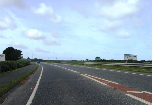
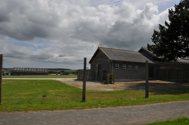
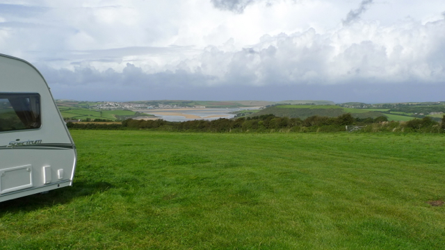
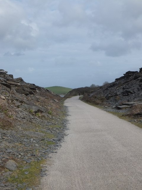
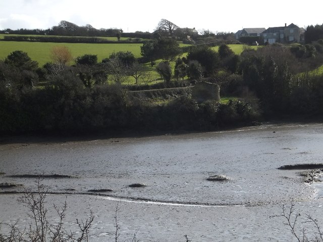
Bodellick Images

Images are sourced within 2km of 50.521506/-4.887373 or Grid Reference SW9573. Thanks to Geograph Open Source API. All images are credited.

Whitecross entrance sign
Wadebridge : Cornwall County Showground Looking into the showground from the A39 where they hold the annual Royal Cornwall Show.
Wadebridge : Cornwall County Showground
Looking into the showground from the A39 where they hold the annual Royal Cornwall Show.
Wadebridge : Royal Cornwall Showground Looking into the showground from the A39. Here is where they hold the Royal Cornwall Show.
Wadebridge : Royal Cornwall Showground
Looking into the showground from the A39. Here is where they hold the Royal Cornwall Show.
Camel River and estuary with Padstow beyond Looking from above and west of Wadebridge close by the Cornish Show site towards Padstow.
Camel River and estuary with Padstow beyond
Looking from above and west of Wadebridge close by the Cornish Show site towards Padstow.
Hals Grave junction There is a small group of houses at the junction of the A39 and A389 and a camping/caravan site on the left.
Hals Grave junction
There is a small group of houses at the junction of the A39 and A389 and a camping/caravan site on the left.
The approach to Wadebridge on the A39 Although the A39 by-passes Wadebridge, there are advance warning signs on this stretch of the road because the site of the Royal Cornwall Show is alongside, with the resulting traffic when there are events.
The approach to Wadebridge on the A39
Although the A39 by-passes Wadebridge, there are advance warning signs on this stretch of the road because the site of the Royal Cornwall Show is alongside, with the resulting traffic when there are events.
A39 junction for Royal Cornwall Showground The bicycle is parked at the end of a bridleway to Edmonton (the Cornish one, not the Canadian!)
A39 junction for Royal Cornwall Showground
The bicycle is parked at the end of a bridleway to Edmonton (the Cornish one, not the Canadian!)
A39 approaching roundabout for Wadebridge The A39, Atlantic Highway, bypasses Wadebridge.  The roundabout gives access to the western part of the town
A39 approaching roundabout for Wadebridge
The A39, Atlantic Highway, bypasses Wadebridge. The roundabout gives access to the western part of the town
The Camel Trail in a shallow cutting
Bridge over Camel Trail The bridge carries the access road for Tregunna House on the riverbank
Bridge over Camel Trail
The bridge carries the access road for Tregunna House on the riverbank
The estuary of the River Camel below Trevelver On the skyline is the ruined tower of the windmill in <a href="https://www.geograph.org.uk/gridref/SW9575">SW9575</a> <a href="https://www.geograph.org.uk/photo/484699">SW9575 : Ruined tower windmill near Carlyon</a>
The estuary of the River Camel below Trevelver
On the skyline is the ruined tower of the windmill in SW9575 SW9575 : Ruined tower windmill near Carlyon
Bridge over stream from Carhart The Camel Trail crosses a small stream on the edge of an area of disused quarries.  To the east there is a shallow cutting
Bridge over stream from Carhart
The Camel Trail crosses a small stream on the edge of an area of disused quarries. To the east there is a shallow cutting
The abandoned Camel quarries The slopes to each side of the Camel Trail are covered with broken slate from the quarries here.
The abandoned Camel quarries
The slopes to each side of the Camel Trail are covered with broken slate from the quarries here.
Pinkson Creek  The tide is quite low and there are egrets standing on the mud and a few mallards.
Pinkson Creek
The tide is quite low and there are egrets standing on the mud and a few mallards.
The Camel Trail crossing Pinkson Creek
Camel Trail at Oldtown Cove
Oldtown Cove and ruined pigeon house The pigeon house (Culver House) is in <a href="https://www.geograph.org.uk/photo/1013227">SW9373 : Culver (pigeon) House at Halwyn.</a>  and the farms at Halwyn are higher up the slope
Oldtown Cove and ruined pigeon house
The pigeon house (Culver House) is in SW9373 : Culver (pigeon) House at Halwyn. and the farms at Halwyn are higher up the slope
Camel Trail in cutting at Ball Hill
Show me another place!

Bodellick is located at Grid Ref: SW9573 (Lat: 50.521506, Lng: -4.887373)

Unitary Authority: Cornwall

Police Authority: Devon and Cornwall

What 3 Words

///traffic.doted.cowering. Near Rock, Cornwall

Nearby Locations

Bodellick

Related Wikis

Bodellick

Bodellick is a hamlet in Cornwall, England, UK. It lies south of the tidal River Camel approximately one mile west of Wadebridge. == References ==

Edmonton, Cornwall

Edmonton is a hamlet west of Wadebridge in Cornwall, England. It is in the civil parish of St Breock. == References ==

Wadebridge and Padstow Rural District

Wadebridge and Padstow Rural District was a local government division of Cornwall in England, UK, between 1968 and 1974. The rural district was created...

Royal Cornwall Show

The Royal Cornwall Agricultural Show, usually called the Royal Cornwall Show, is an agricultural show organised by the Royal Cornwall Agricultural Association...

Have you been to Bodellick?

Leave your review of Bodellick below (or comments, questions and feedback).