Ash Coppice

Wood, Forest in Gloucestershire Tewkesbury

England

Ash Coppice

Walton Grange Farm
Walton Grange Farm Credit: JThomas

Ash Coppice is a small wood situated in the county of Gloucestershire, England. Covering an area of approximately 20 acres, it is known for its dense concentration of ash trees, which dominate the landscape. The wood is situated on a gentle slope, providing visitors with picturesque views of the surrounding countryside.

The forest is home to a diverse range of flora and fauna. Apart from the ash trees, which provide a dense canopy, other tree species such as oak, beech, and birch can also be found. The forest floor is covered in a rich carpet of bluebells and wild garlic during the spring season, creating a stunning display of colors.

Ash Coppice is a popular destination for nature enthusiasts and hikers. Several well-marked trails traverse the wood, offering visitors the opportunity to explore its beauty on foot. The trails wind through the trees, past babbling brooks, and across wooden bridges, providing a serene and peaceful experience.

Wildlife is abundant in Ash Coppice, with various species of birds, including woodpeckers and owls, making their homes in the trees. The wood is also home to small mammals such as rabbits, squirrels, and foxes. Rare sightings of deer have also been reported by visitors.

Due to its proximity to nearby villages, Ash Coppice is easily accessible by car or public transport. The wood offers a tranquil retreat away from the hustle and bustle of daily life, making it a popular destination for those seeking solace in nature.

If you have any feedback on the listing, please let us know in the comments section below.
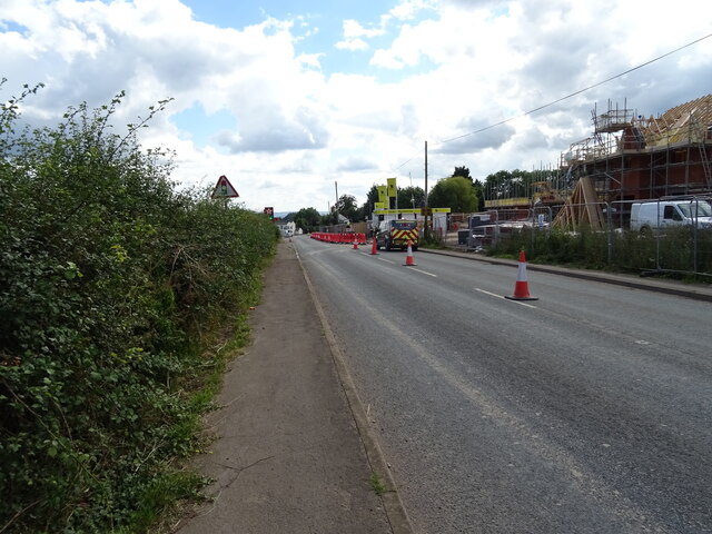
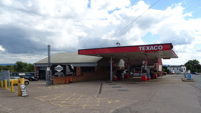
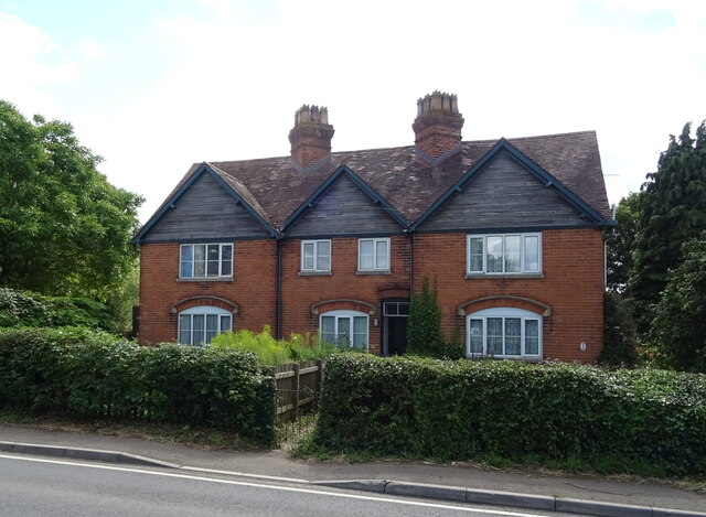
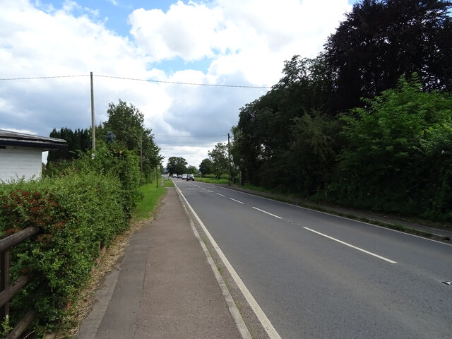
Ash Coppice Images

Images are sourced within 2km of 51.929437/-2.1588239 or Grid Reference SO8925. Thanks to Geograph Open Source API. All images are credited.

Walton Grange Farm
Walton Grange Farm
New housing development, Coombe Hill Off the A38.
New housing development, Coombe Hill
Off the A38.
Roadworks on the A38, Coombe Hill Towards Gloucester.
Roadworks on the A38, Coombe Hill
Towards Gloucester.
Service station on the A38, Coombe Hill
The Swan Inn, Coombe Hill On the A38.
The Swan Inn, Coombe Hill
On the A38.
The Swan Inn, Coombe Hill On the A38.
The Swan Inn, Coombe Hill
On the A38.
Sign for the Swan Inn, Coombe Hill
House, Coombe End
House, Coombe End
Brick built barn on the A4019, Coombe End
Cottages on the A4019, Knightsbridge
A4019, Knightsbridge Towards Cheltenham.
A4019, Knightsbridge
Towards Cheltenham.
The Gloucester Old Spot On the A4019.
The Gloucester Old Spot
On the A4019.
Sign for the Gloucester Old Spot
A4019 towards Cheltenham
Elizabeth II postbox on the A4019, Knightsbridge Postbox No. GL51 162.

See <a href="https://www.geograph.org.uk/photo/6949214">SO8926 : House on the A4019, Knightsbridge</a> for context.
Elizabeth II postbox on the A4019, Knightsbridge
Postbox No. GL51 162. See SO8926 : House on the A4019, Knightsbridge for context.
House on the A4019, Knightsbridge Showing position of Postbox No. GL51 162.

See <a href="https://www.geograph.org.uk/photo/6949213">SO8926 : Elizabeth II postbox on the A4019, Knightsbridge</a> for postbox.
House on the A4019, Knightsbridge
Showing position of Postbox No. GL51 162. See SO8926 : Elizabeth II postbox on the A4019, Knightsbridge for postbox.
Construction site at Coombe Hill Land being prepared for building at Coombe Hill
Construction site at Coombe Hill
Land being prepared for building at Coombe Hill
Construction site at Coombe Hill Land being prepared for building at Coombe Hill.
Construction site at Coombe Hill
Land being prepared for building at Coombe Hill.
Show me another place!

Ash Coppice is located at Grid Ref: SO8925 (Lat: 51.929437, Lng: -2.1588239)

Administrative County: Gloucestershire

District: Tewkesbury

Police Authority: Gloucestershire

What 3 Words

///tasters.rave.hushed. Near Churchdown, Gloucestershire

Related Wikis

Nearby Amenities

Located within 500m of 51.929437,-2.1588239
Boddington
Is In: Gloucestershire, England, UK
Place: hamlet
Wikidata: Q4936415
Lat/Long: 51.9256684/-2.1551724
Bus Stop
Boddington House
Naptan AtcoCode: 1600GL529
Naptan Bearing: N
Naptan CommonName: Boddington House
Naptan NaptanCode: glodmgmw
Naptan Street: Piff's Elm Rd
Naptan Verified: no
Source: naptan_import
Lat/Long: 51.9264335/-2.1556213
Bus Stop
Boddington House
Naptan AtcoCode: 1600GL530
Naptan Bearing: S
Naptan CommonName: Boddington House
Naptan NaptanCode: glodmgpa
Naptan Street: Piff's Elm Rd
Naptan Verified: no
Source: naptan_import
Lat/Long: 51.9263617/-2.1554901
Post Box
Collection Times: Mo-Fr 16:15; Sa 09:00
Operator: Royal Mail
Post Box Type: lamp
Ref: GL51 84
Royal Cypher: EIIR
Royal Cypher Wikidata: Q33102113
Survey Date: 2017-02-07
Lat/Long: 51.925973/-2.1554319
Barrier: stile
Foot: designated
Lat/Long: 51.9261554/-2.1591013
Power: pole
Lat/Long: 51.9251444/-2.1567417
Boddington Church
Power: pole
Transformer: distribution
Voltage Primary: 11000
Lat/Long: 51.926143/-2.1551563
Power: pole
Lat/Long: 51.9263262/-2.1559811
Power: pole
Lat/Long: 51.9257663/-2.1563029
Generator Source: solar
Power: generator
Source: Bing
Lat/Long: 51.9267041/-2.155863
Kennel Cottages
Power: pole
Transformer: distribution
Voltage Primary: 11000
Lat/Long: 51.9271668/-2.1581034
Power: pole
Lat/Long: 51.9271027/-2.1570539
Location Transition: yes
Power: pole
Lat/Long: 51.9270275/-2.1559194
Power: pole
Lat/Long: 51.927135/-2.1550785
Power: pole
Lat/Long: 51.9272797/-2.1538661
Power: pole
Lat/Long: 51.9273839/-2.1529636
The data included in this document is from www.openstreetmap.org. The data is made available under ODbL.

Have you been to Ash Coppice?

Leave your review of Ash Coppice below (or comments, questions and feedback).