Brockworth Wood
Wood, Forest in Gloucestershire Tewkesbury
England
Brockworth Wood

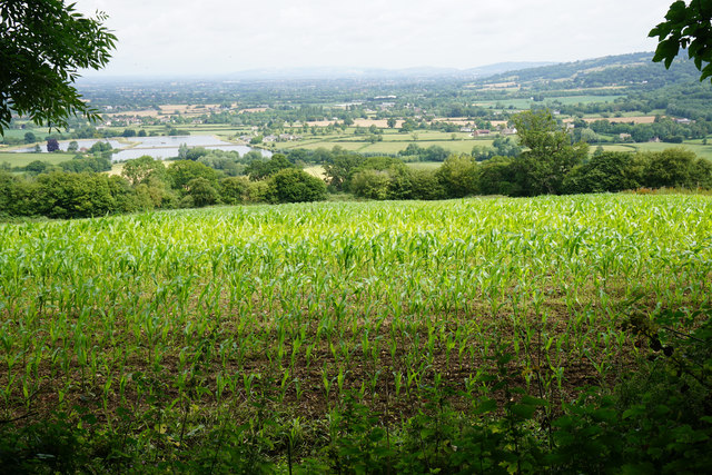
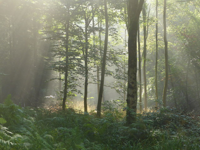
Brockworth Wood, located in Gloucestershire, is a beautiful and diverse woodland that covers an area of approximately 150 hectares. This ancient forest is part of the larger Forest of Dean, a renowned natural area in England. With its rich history and abundant wildlife, Brockworth Wood attracts nature enthusiasts and visitors alike.
The wood is predominantly composed of broadleaf trees, including oak, beech, and ash, creating a dense and vibrant canopy. The forest floor is carpeted with a variety of wildflowers, mosses, and ferns, adding to its picturesque charm. The wood is crisscrossed by numerous footpaths and trails, allowing visitors to explore its beauty and immerse themselves in nature.
Brockworth Wood is also home to a diverse range of wildlife. It provides a habitat for numerous bird species, such as woodpeckers, owls, and warblers, making it a popular spot for birdwatching. Additionally, the wood is inhabited by mammals like deer, foxes, and badgers, which can occasionally be spotted by lucky visitors.
The wood has a rich history, with evidence of human activity dating back to the Neolithic era. Throughout the centuries, it has been used for timber, charcoal production, and grazing. Today, it is managed by the Forestry Commission, which aims to preserve its natural beauty while allowing sustainable use of its resources.
Overall, Brockworth Wood offers a tranquil and enchanting escape from the hustle and bustle of everyday life. Its ancient trees, diverse wildlife, and serene atmosphere make it a cherished natural gem in Gloucestershire.
If you have any feedback on the listing, please let us know in the comments section below.
Brockworth Wood Images
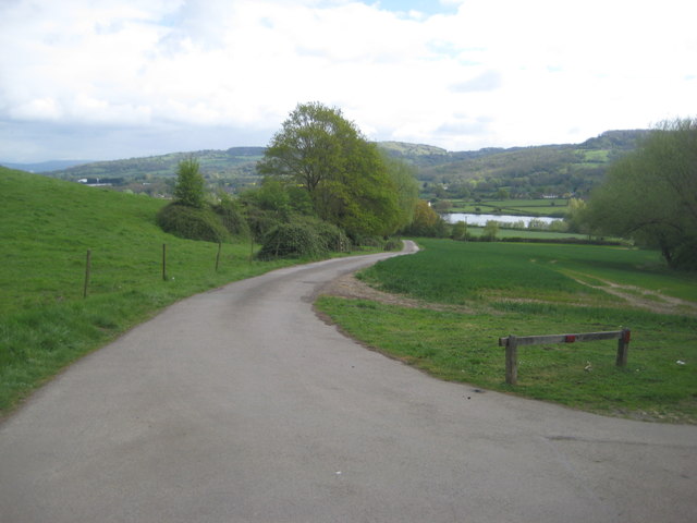
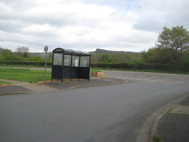
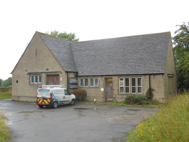
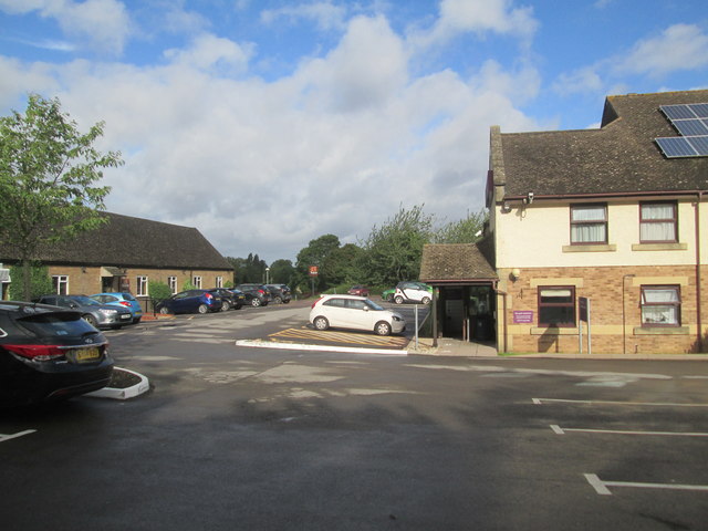
Images are sourced within 2km of 51.828038/-2.1584374 or Grid Reference SO8914. Thanks to Geograph Open Source API. All images are credited.


Brockworth Wood is located at Grid Ref: SO8914 (Lat: 51.828038, Lng: -2.1584374)
Administrative County: Gloucestershire
District: Tewkesbury
Police Authority: Gloucestershire
What 3 Words
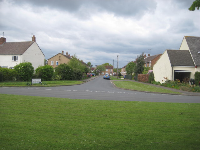
///wires.emphasis.pegs. Near Shurdington, Gloucestershire
Nearby Locations
Related Wikis

Cooper's Hill Cheese-Rolling and Wake
The Cooper's Hill Cheese-Rolling and Wake is an annual event held on the Spring Bank Holiday at Cooper's Hill, near Gloucester in England. Participants...
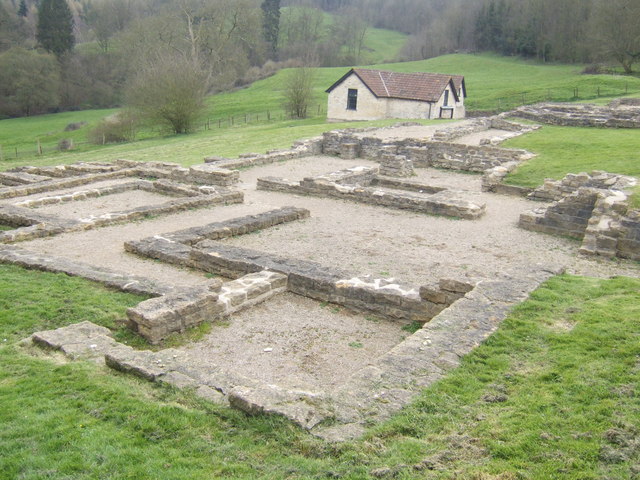
Great Witcombe Roman Villa
Great Witcombe Roman Villa was a villa built during the Roman occupation of Britain. It is located on a hillside at Great Witcombe, near Gloucester in...

Gloucestershire
Gloucestershire ( GLOST-ər-shər, -sheer; abbreviated Glos.) is a ceremonial county in South West England. It is bordered by Herefordshire to the north...
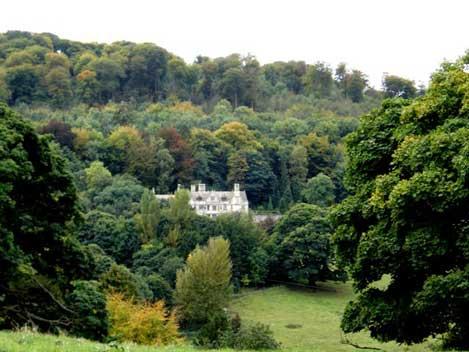
Prinknash Abbey
Prinknash Abbey (pronounced locally variously as "Prinidge/Prinnish") (IPA: ) is a Roman Catholic monastery in the Vale of Gloucester in the Diocese of...
Nearby Amenities
Located within 500m of 51.828038,-2.1584374Have you been to Brockworth Wood?
Leave your review of Brockworth Wood below (or comments, questions and feedback).