Stagsden West End
Settlement in Bedfordshire
England
Stagsden West End
Stagsden West End is a small village located in the county of Bedfordshire, England. Situated approximately 7 miles west of Bedford, it is a quiet and picturesque rural community. The village is part of the wider civil parish of Stagsden, which encompasses both Stagsden West End and the nearby village of Stagsden.
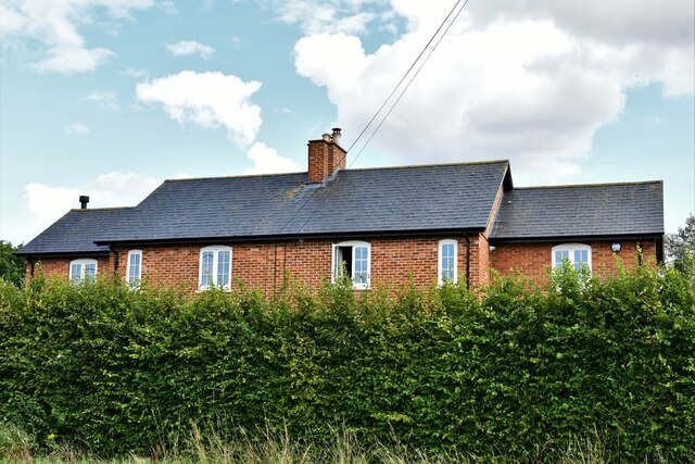
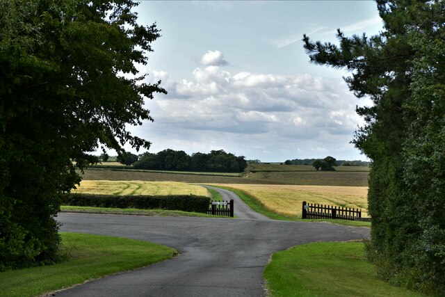
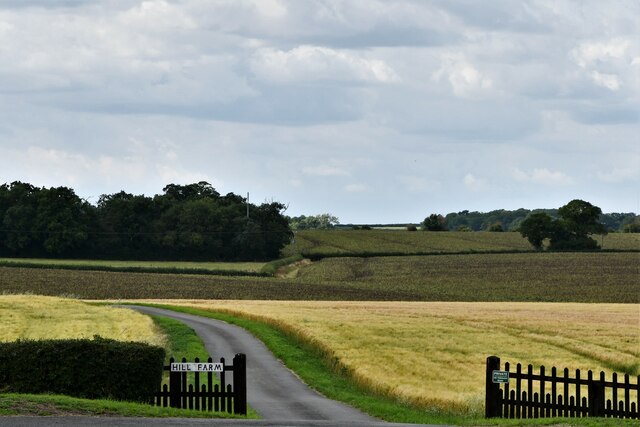
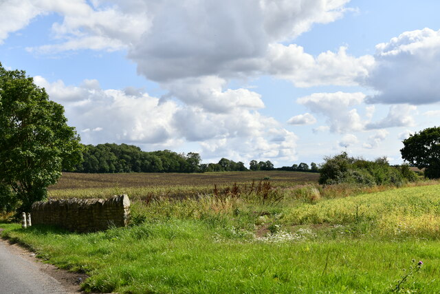
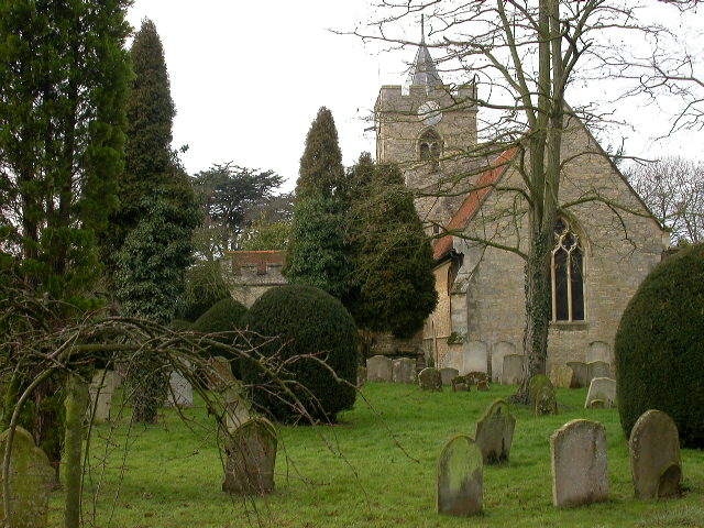
Stagsden West End offers residents a peaceful and idyllic lifestyle, surrounded by stunning countryside scenery. The village is characterized by its charming cottages and traditional architecture, giving it a quintessentially English feel. The picturesque St Leonard's Church, dating back to the 13th century, is one of the notable landmarks in the area.
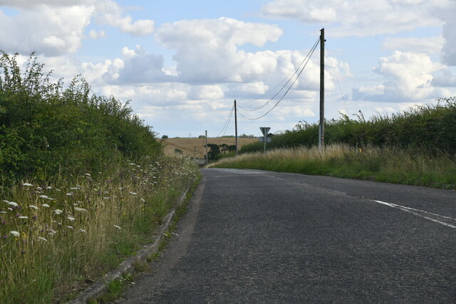
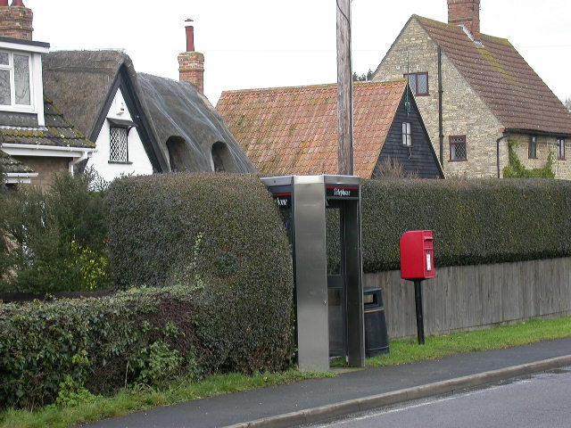
While Stagsden West End may be small in size, it offers a range of amenities to cater to its residents' needs. These include a village hall, a primary school, and a local pub, providing a sense of community and a gathering place for villagers. The village also benefits from excellent transport links, with easy access to the A421 road, connecting it to nearby towns and cities.
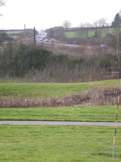
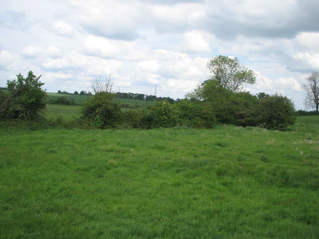
Surrounded by beautiful countryside, Stagsden West End offers ample opportunities for outdoor activities such as walking, cycling, and horse riding. The nearby Marston Vale Forest Centre provides additional recreational options, with nature trails, woodlands, and a visitor center.
Overall, Stagsden West End is a charming and peaceful village, offering a tranquil setting and a close-knit community for its residents.
If you have any feedback on the listing, please let us know in the comments section below.
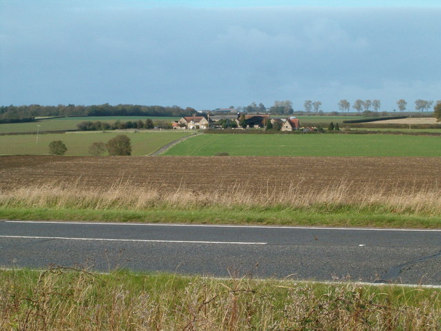
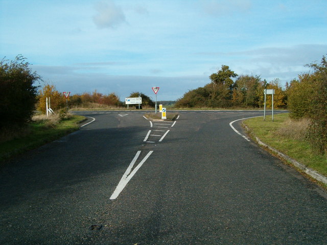
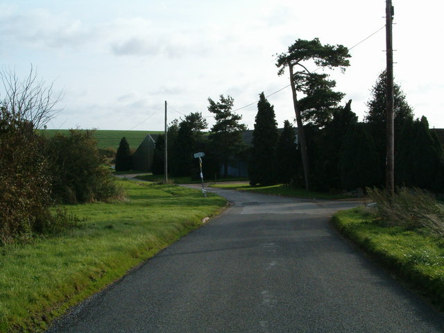
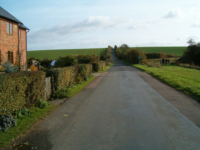
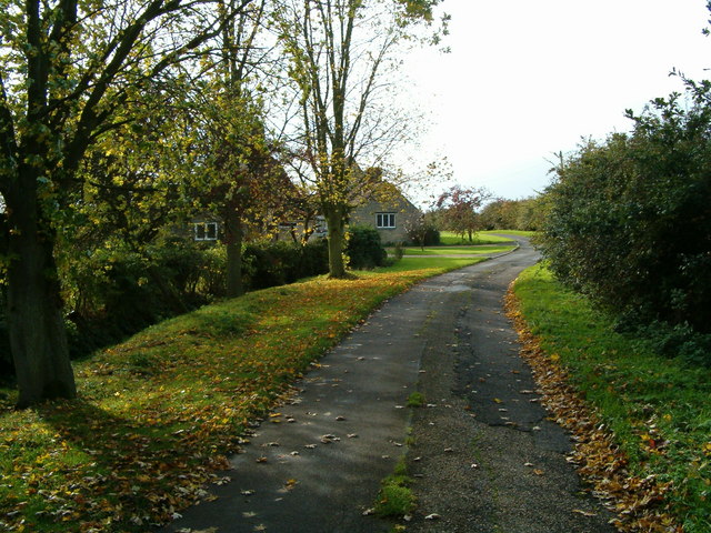
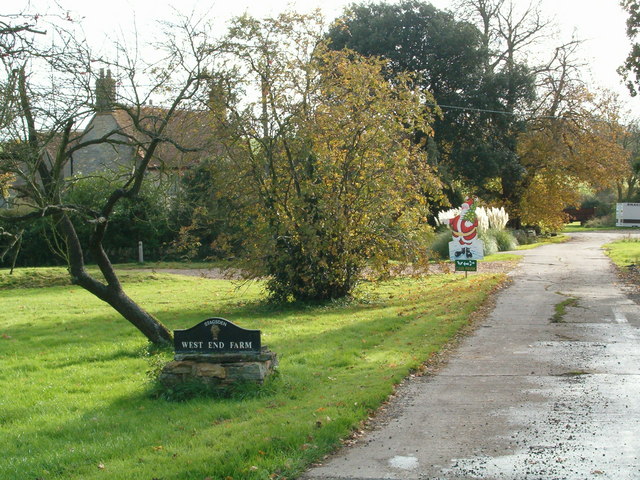
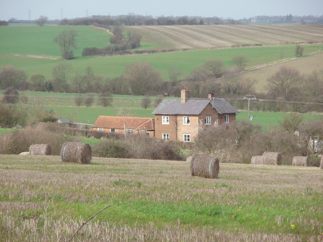
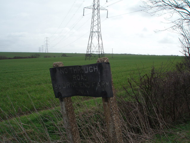
Stagsden West End Images
Images are sourced within 2km of 52.118056/-0.574499 or Grid Reference SP9747. Thanks to Geograph Open Source API. All images are credited.

Stagsden West End is located at Grid Ref: SP9747 (Lat: 52.118056, Lng: -0.574499)
Unitary Authority: Bedford
Police Authority: Bedfordshire
What 3 Words
///revived.lighters.loud. Near Stagsden, Bedfordshire
Nearby Locations
Related Wikis

Stagsden
Stagsden is a small but historic village and civil parish located in the Borough of Bedford, northwest Bedfordshire, England, near the Buckinghamshire...

Church of St Leonard, Stagsden
Church of St Leonard is a Grade I listed church in Stagsden, Bedfordshire, England. It became a listed building on 13 July 1964. == See also == Grade...

Bedfordshire Golf Club
Bedfordshire Golf Club is a golf club to the east of Stagsden, Bedfordshire, England. Established in 1891, it is the oldest golf club in Bedfordshire....
Box End
Box End (or Kempston Box End) is a small village located in the Borough of Bedford in Bedfordshire, England. It is in the civil parish of Kempston Rural...
Nearby Amenities
Located within 500m of 52.118056,-0.574499Have you been to Stagsden West End?
Leave your review of Stagsden West End below (or comments, questions and feedback).