Stainburn

Settlement in Cumberland Allerdale

England

Stainburn

A596 entering Workington
A596 entering Workington Credit: Colin Pyle

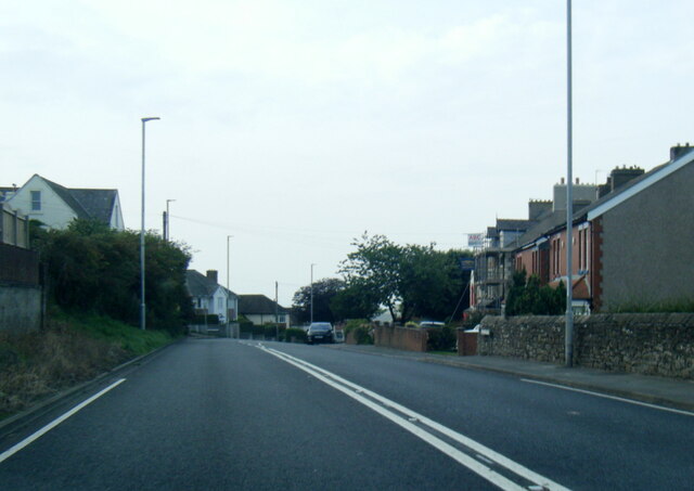
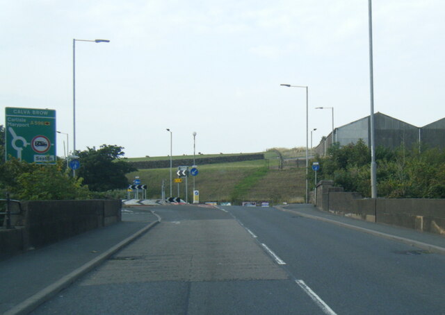
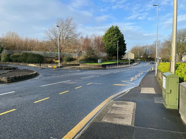
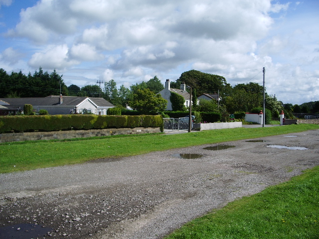
Stainburn is a small village located in the county of Cumberland, in the northwestern part of England. Situated near the Lake District National Park, it lies approximately 8 miles southwest of the town of Workington. The village is nestled amidst picturesque countryside, offering residents and visitors stunning views of rolling hills and lush green landscapes.

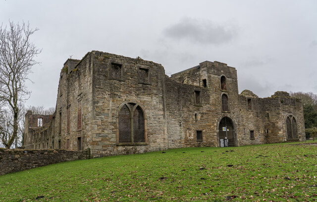
Stainburn's history can be traced back to the medieval period when it was primarily an agricultural community. Over the years, the village has retained its rural charm, with a scattering of traditional stone cottages and farmhouses dotting the area. The village is known for its close-knit community, where locals take pride in maintaining their heritage and preserving the natural beauty of the surroundings.

Despite its small size, Stainburn boasts several amenities for its residents. The village has a local pub, which serves as a gathering place for locals and visitors alike, providing a warm and friendly atmosphere. Additionally, Stainburn has a village hall that hosts community events and activities throughout the year, fostering a sense of togetherness among its residents.

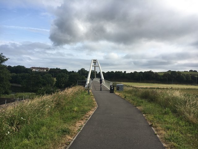
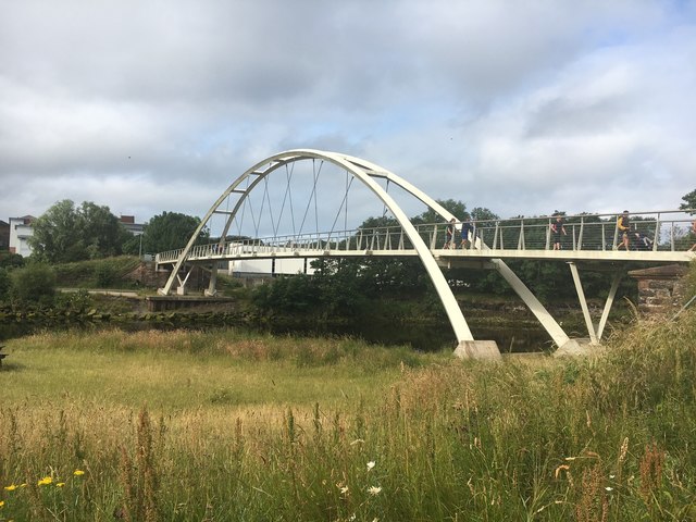
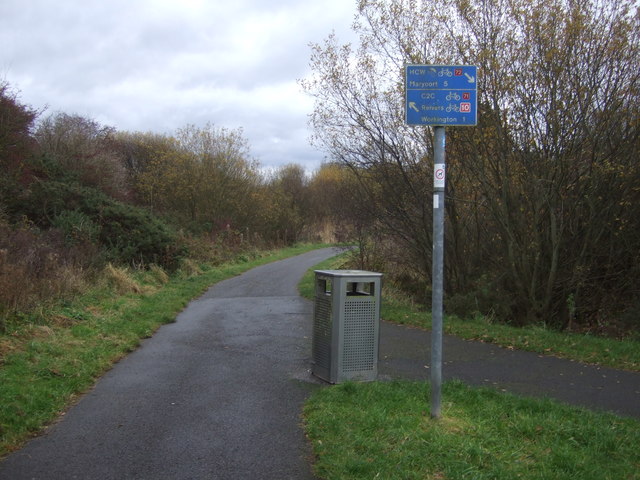
For outdoor enthusiasts, Stainburn offers ample opportunities for exploration. The village is surrounded by scenic walking trails, allowing visitors to immerse themselves in the tranquility of the countryside. Nearby attractions include the Lake District National Park, where visitors can partake in activities such as hiking, boating, and wildlife spotting.

In summary, Stainburn is a charming village in Cumberland, England, renowned for its idyllic rural setting and strong community spirit. With its beautiful landscapes and proximity to the Lake District, it is a haven for nature lovers and those seeking a peaceful retreat.

If you have any feedback on the listing, please let us know in the comments section below.
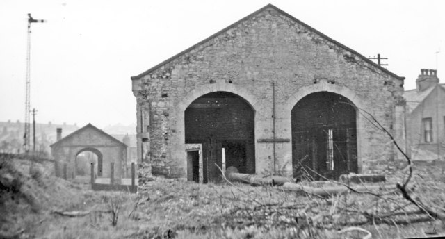
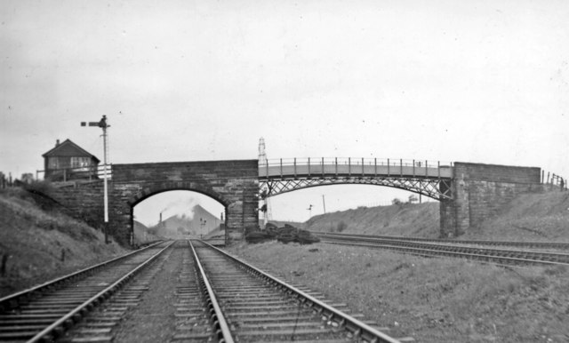
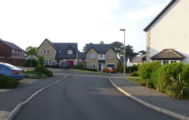
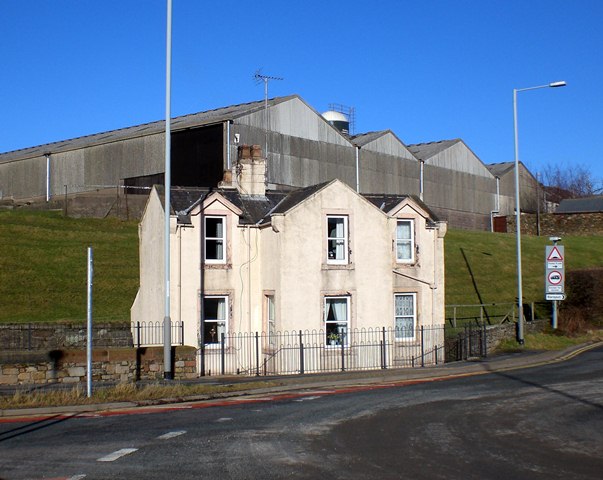
Stainburn Images

Images are sourced within 2km of 54.645222/-3.520194 or Grid Reference NY0228. Thanks to Geograph Open Source API. All images are credited.

A596 entering Workington
A596 Calva Brow from Workington Bridge
Hope, War Memorial Memorial to those who gave their lives in World Wars 1 and 2 and all wars since then.
Hope, War Memorial
Memorial to those who gave their lives in World Wars 1 and 2 and all wars since then.
Fence, walls and grass Beside Newlands Lane at the junction with High Street, the palisade fence marks the boundary of Ashfield Infant and Nursery School.
Fence, walls and grass
Beside Newlands Lane at the junction with High Street, the palisade fence marks the boundary of Ashfield Infant and Nursery School.
Junction of High Street and Newlands Lane High Street is the A596 from Distington to Workington.
Junction of High Street and Newlands Lane
High Street is the A596 from Distington to Workington.
Workington Hall (Ruin), Cumbria The present house dates back to around 1404 and was built as a fortified tower house. In 1568, Mary, Queen of Scots wrote a letter from Workington Hall to Queen Elizabeth I of England. After the defeat of her forces at the Battle of Langside and disguised as an ordinary woman, Mary crossed the Solway Firth and landed at Workington. She spent her first night in England as an honoured guest at Workington Hall. On 18 May 1568, Mary was escorted to Carlisle Castle after spending a day at Cockermouth. 

<span class="nowrap"><a title="https://en.wikipedia.org/wiki/Workington_Hall" rel="nofollow ugc noopener" href="https://en.wikipedia.org/wiki/Workington_Hall">Link</a><img style="margin-left:2px;" alt="External link" title="External link - shift click to open in new window" src="https://s1.geograph.org.uk/img/external.png" width="10" height="10"/></span>
Workington Hall (Ruin), Cumbria
The present house dates back to around 1404 and was built as a fortified tower house. In 1568, Mary, Queen of Scots wrote a letter from Workington Hall to Queen Elizabeth I of England. After the defeat of her forces at the Battle of Langside and disguised as an ordinary woman, Mary crossed the Solway Firth and landed at Workington. She spent her first night in England as an honoured guest at Workington Hall. On 18 May 1568, Mary was escorted to Carlisle Castle after spending a day at Cockermouth. LinkExternal link
Old Milestone by Stainburn road, 75m west of junction with Moor Road The Milestone is located in wall on the North of the road.  Parish of Workington (Allerdale District). Carved stone post, Carlisle red stone design, erected by the Cockermouth & Workington turnpike trust in the 19th Century.  

Inscription reads:-   
Cockermouth / 7 / Workington / 1 

Milestone Society National ID: CU_CMWO07
Old Milestone by Stainburn road, 75m west of junction with Moor Road
The Milestone is located in wall on the North of the road.  Parish of Workington (Allerdale District). Carved stone post, Carlisle red stone design, erected by the Cockermouth & Workington turnpike trust in the 19th Century.   Inscription reads:- Cockermouth / 7 / Workington / 1 Milestone Society National ID: CU_CMWO07
Northward at former Workington Central station, May 1951 This had been the main station and Head Offices of the former Cleator & Workington Junction Railway, closed 13/4/31 for passengers Moor Row - Siddick, but still open for goods to Calva Junction until 26/9/65.
Northward at former Workington Central station, May 1951
This had been the main station and Head Offices of the former Cleator & Workington Junction Railway, closed 13/4/31 for passengers Moor Row - Siddick, but still open for goods to Calva Junction until 26/9/65.
Workington Central, ex-C&W Junction derelict Locomotive Shed, 1951 View southward, just south of the former Workington Central station: see <a href="https://www.geograph.org.uk/photo/5081140">NY0028 : Northward at former Workington Central station, May 1951</a>.
Workington Central, ex-C&W Junction derelict Locomotive Shed, 1951
View southward, just south of the former Workington Central station: see NY0028 : Northward at former Workington Central station, May 1951.
Cleator & Workington Junction Railway at Calva Junction, Workington, 1951 View northward, towards Siddick - left, Seaton - right. In spite of appearances, passenger services along here, i.e. just north of Workington Central, ceased from 13/4/31, but freight continued until May 1964; to the great Naval Armaments Depot at Broughton Moor not until June 1992.
Cleator & Workington Junction Railway at Calva Junction, Workington, 1951
View northward, towards Siddick - left, Seaton - right. In spite of appearances, passenger services along here, i.e. just north of Workington Central, ceased from 13/4/31, but freight continued until May 1964; to the great Naval Armaments Depot at Broughton Moor not until June 1992.
An interactive mechanical clock The clock is based on a ‘camera obscura’ and it tells the time with its rotating minute hand suspended above head height parallel to the ground. The minutes are shown on the ground and the hour on a central ring above the main sphere
An interactive mechanical clock
The clock is based on a ‘camera obscura’ and it tells the time with its rotating minute hand suspended above head height parallel to the ground. The minutes are shown on the ground and the hour on a central ring above the main sphere
Mabel Wood Close A new development in Great Clifton.
Mabel Wood Close
A new development in Great Clifton.
Tollhouse by the A596, Calva Brow, Workington Tollhouse by the A596, in parish of Workington (Allerdale District), Toll Bar House, Calva Brow.

Demolished in 2015.

To be surveyed

Milestone Society National ID: CB.WOR
Tollhouse by the A596, Calva Brow, Workington
Tollhouse by the A596, in parish of Workington (Allerdale District), Toll Bar House, Calva Brow. Demolished in 2015. To be surveyed Milestone Society National ID: CB.WOR
The approach to Navvies Bridge This pedestrian bridge over the River  Derwent was installed in 2011 to replace the bridge washed away by floodwater in November 2009.
The approach to Navvies Bridge
This pedestrian bridge over the River Derwent was installed in 2011 to replace the bridge washed away by floodwater in November 2009.
Navvies Bridge This bridge over the River Derwent was installed in 2011 to replace the bridge washed away by floodwater in November 2009
Navvies Bridge
This bridge over the River Derwent was installed in 2011 to replace the bridge washed away by floodwater in November 2009
Millennium milepost, National Cycle Route 71 / 72 At the junction of the two cycle routes and also the junction of the two disused railways which they both use the track bed of.
Millennium milepost, National Cycle Route 71 / 72
At the junction of the two cycle routes and also the junction of the two disused railways which they both use the track bed of.
Cycle path junction, National Cycle Route 71 / 72
National Cycle Route 72 towards Workington
Show me another place!

Stainburn is located at Grid Ref: NY0228 (Lat: 54.645222, Lng: -3.520194)

Administrative County: Cumbria

District: Allerdale

Police Authority: Cumbria

What 3 Words

///fury.nipped.spouting. Near Workington, Cumbria

Nearby Locations

Stainburn

Related Wikis

Stainburn, Cumbria

Stainburn is a settlement and former civil parish about 7 miles from Whitehaven, now in the parish of Workington, in the county of Cumbria, England. In...

Barepot

Barepot is a village in Cumbria, England. As Workington and Seaton grew, Barepot and also Seaton became districts of Workington. Barepot has about 70 houses...

Workington Academy

Workington Academy is a mixed secondary school in Workington, Cumbria that was formed in September 2015 as a result of the merger of Southfield Technology...

Barker Crossing

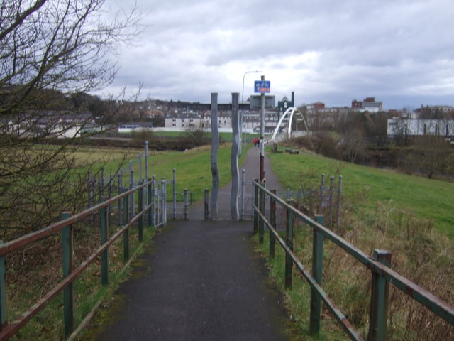
Barker Crossing was a pedestrian footbridge in Workington, Cumbria, England that crossed the River Derwent, and linked the north and south sides of the...

Nearby Amenities

Located within 500m of 54.645222,-3.520194
Stainburn
Is In: Cumbria, England, UK
Place: village
Source: npe
Lat/Long: 54.6458432/-3.5189474
Bus Stop
The Briery
Naptan AtcoCode: 090002590043
Naptan Bearing: W
Naptan CommonName: The Briery
Naptan Indicator: w/bound
Naptan Landmark: Moor Road Junction
Naptan NaptanCode: cumagwpa
Naptan Street: A66
Naptan Verified: no
Source: naptan_import
Lat/Long: 54.6479786/-3.5199549
Stainburn Road (E bound)
Local Ref: AT
Naptan AtcoCode: 090002590302
Naptan Bearing: E
Naptan BusStopType: CUS
Naptan CommonName: Stainburn Road (E bound)
Naptan Indicator: at
Naptan Landmark: post box
Naptan NaptanCode: cumajdwm
Naptan Street: A66
Naptan Verified: no
Source: naptan_import
Lat/Long: 54.6461801/-3.5264591
Stainburn Road (W bound)
Naptan AtcoCode: 090002590303
Naptan Bearing: W
Naptan BusStopType: CUS
Naptan CommonName: Stainburn Road (W bound)
Naptan Indicator: w/bound
Naptan Landmark: opp post box
Naptan NaptanCode: cumajdwp
Naptan Street: A66
Naptan Verified: no
Source: naptan_import
Lat/Long: 54.6461832/-3.5262113
Bus Stop
Derwent Meadows
Naptan AtcoCode: 090002590318
Naptan Bearing: E
Naptan CommonName: Derwent Meadows
Naptan Indicator: near
Naptan Landmark: Junction with Derwent Meadows
Naptan NaptanCode: cumajdwt
Naptan Street: A66
Naptan Verified: no
Source: naptan_import
Lat/Long: 54.6482534/-3.5195467
Turning Circle
Lat/Long: 54.643482/-3.5204956
Turning Circle
Lat/Long: 54.6480989/-3.5216547
Turning Circle
Lat/Long: 54.6445945/-3.5169072
Turning Circle
Lat/Long: 54.645563/-3.5176421
Turning Circle
Lat/Long: 54.6438076/-3.5226109
Turning Circle
Lat/Long: 54.6446566/-3.5159255
Turning Circle
Lat/Long: 54.6436948/-3.5147051
Turning Circle
Lat/Long: 54.6438268/-3.5149207
Noexit: yes
Lat/Long: 54.6431239/-3.514701
Parking
Parking: layby
Source: Bing
Lat/Long: 54.6416304/-3.5184686
Post Box
Ref: CA14 127
Lat/Long: 54.6461761/-3.5265786
Post Box
Ref: CA14 75
Lat/Long: 54.6458141/-3.5217144
Power: pole
Lat/Long: 54.6468761/-3.5151959
Power: pole
Lat/Long: 54.6464074/-3.5140801
Power: pole
Lat/Long: 54.6459884/-3.513034
Power: pole
Lat/Long: 54.645082/-3.5129535
Power: pole
Lat/Long: 54.6440204/-3.5128462
Power: pole
Lat/Long: 54.6479493/-3.5174382
Power: pole
Lat/Long: 54.6475077/-3.5166214
Power: pole
Lat/Long: 54.6470297/-3.5157229
Location Transition: yes
Power: pole
Lat/Long: 54.6443308/-3.5149799
Power: pole
Lat/Long: 54.644576/-3.5150269
Power: pole
Lat/Long: 54.6453443/-3.5151154
Power: pole
Lat/Long: 54.646111/-3.5152535
Power: pole
Lat/Long: 54.6469459/-3.5153876
Power: pole
Lat/Long: 54.6476614/-3.514009
Generator Method: photovoltaic
Generator Orientation: south_east
Generator Output Electricity: yes
Generator Solar Modules: 8
Generator Source: solar
Generator Type: solar_photovoltaic_panel
Location: roof
Power: generator
Lat/Long: 54.6452732/-3.5278291
Generator Method: photovoltaic
Generator Orientation: south_east
Generator Output Electricity: yes
Generator Solar Modules: 18
Generator Source: solar
Generator Type: solar_photovoltaic_panel
Location: roof
Power: generator
Lat/Long: 54.6464768/-3.5219734
Generator Method: photovoltaic
Generator Orientation: south_west
Generator Output Electricity: yes
Generator Solar Modules: 20
Generator Source: solar
Generator Type: solar_photovoltaic_panel
Location: roof
Power: generator
Lat/Long: 54.646122/-3.5214838
Generator Method: photovoltaic
Generator Orientation: south_west
Generator Output Electricity: yes
Generator Solar Modules: 16
Generator Source: solar
Generator Type: solar_photovoltaic_panel
Location: roof
Power: generator
Lat/Long: 54.6459026/-3.5235998
Generator Method: photovoltaic
Generator Orientation: south_east
Generator Output Electricity: yes
Generator Solar Modules: 13
Generator Source: solar
Generator Type: solar_photovoltaic_panel
Location: roof
Power: generator
Lat/Long: 54.6455869/-3.5239273
Generator Method: photovoltaic
Generator Orientation: south_west
Generator Output Electricity: yes
Generator Solar Modules: 10
Generator Source: solar
Generator Type: solar_photovoltaic_panel
Location: roof
Power: generator
Lat/Long: 54.6451567/-3.5227487
Generator Method: photovoltaic
Generator Orientation: south_west
Generator Output Electricity: yes
Generator Solar Modules: 14
Generator Source: solar
Generator Type: solar_photovoltaic_panel
Location: roof
Power: generator
Lat/Long: 54.6446322/-3.5251858
Generator Method: photovoltaic
Generator Orientation: south
Generator Output Electricity: yes
Generator Solar Modules: 10
Generator Source: solar
Generator Type: solar_photovoltaic_panel
Location: roof
Power: generator
Lat/Long: 54.6443608/-3.5242477
Generator Method: photovoltaic
Generator Orientation: south_east
Generator Output Electricity: yes
Generator Solar Modules: 16
Generator Source: solar
Generator Type: solar_photovoltaic_panel
Location: roof
Power: generator
Lat/Long: 54.6440579/-3.5184016
Generator Method: photovoltaic
Generator Orientation: south_east
Generator Output Electricity: yes
Generator Solar Modules: 16
Generator Source: solar
Generator Type: solar_photovoltaic_panel
Location: roof
Power: generator
Lat/Long: 54.6446682/-3.5200486
Generator Method: photovoltaic
Generator Orientation: north_west
Generator Output Electricity: yes
Generator Solar Modules: 6
Generator Source: solar
Generator Type: solar_photovoltaic_panel
Location: roof
Power: generator
Lat/Long: 54.6450903/-3.5221122
Generator Method: photovoltaic
Generator Orientation: south_east
Generator Output Electricity: yes
Generator Solar Modules: 6
Generator Source: solar
Generator Type: solar_photovoltaic_panel
Location: roof
Power: generator
Lat/Long: 54.6450734/-3.5220597
Generator Method: photovoltaic
Generator Orientation: south_east
Generator Output Electricity: yes
Generator Solar Modules: 16
Generator Source: solar
Generator Type: solar_photovoltaic_panel
Location: roof
Power: generator
Lat/Long: 54.6456825/-3.518397
Generator Method: photovoltaic
Generator Orientation: south_west
Generator Output Electricity: yes
Generator Solar Modules: 12
Generator Source: solar
Generator Type: solar_photovoltaic_panel
Location: roof
Power: generator
Lat/Long: 54.6451269/-3.5179205
Generator Method: photovoltaic
Generator Orientation: north_east
Generator Output Electricity: yes
Generator Solar Modules: 6
Generator Source: solar
Generator Type: solar_photovoltaic_panel
Location: roof
Power: generator
Lat/Long: 54.6451367/-3.51785
Generator Method: photovoltaic
Generator Orientation: south_west
Generator Output Electricity: yes
Generator Solar Modules: 16
Generator Source: solar
Generator Type: solar_photovoltaic_panel
Location: roof
Power: generator
Lat/Long: 54.6446659/-3.5162353
Generator Method: photovoltaic
Generator Orientation: south_west
Generator Output Electricity: yes
Generator Solar Modules: 14
Generator Source: solar
Generator Type: solar_photovoltaic_panel
Location: roof
Power: generator
Lat/Long: 54.6440739/-3.5165358
Generator Method: photovoltaic
Generator Orientation: south_west
Generator Output Electricity: yes
Generator Solar Modules: 10
Generator Source: solar
Generator Type: solar_photovoltaic_panel
Location: roof
Power: generator
Lat/Long: 54.644255/-3.5160884
Generator Method: photovoltaic
Generator Orientation: south_west
Generator Output Electricity: yes
Generator Solar Modules: 8
Generator Source: solar
Generator Type: solar_photovoltaic_panel
Location: roof
Power: generator
Lat/Long: 54.6441685/-3.5151605
Generator Method: photovoltaic
Generator Orientation: south_east
Generator Output Electricity: yes
Generator Solar Modules: 8
Generator Source: solar
Generator Type: solar_photovoltaic_panel
Location: roof
Power: generator
Lat/Long: 54.6441822/-3.5152539
Generator Method: photovoltaic
Generator Orientation: south
Generator Output Electricity: yes
Generator Solar Modules: 16
Generator Source: solar
Generator Type: solar_photovoltaic_panel
Location: roof
Power: generator
Lat/Long: 54.6460533/-3.520269
Generator Method: photovoltaic
Generator Orientation: west
Generator Output Electricity: yes
Generator Solar Modules: 16
Generator Source: solar
Generator Type: solar_photovoltaic_panel
Location: roof
Power: generator
Lat/Long: 54.6462255/-3.5199145
Generator Method: photovoltaic
Generator Orientation: west
Generator Output Electricity: yes
Generator Solar Modules: 16
Generator Source: solar
Generator Type: solar_photovoltaic_panel
Location: roof
Power: generator
Lat/Long: 54.6463212/-3.5195448
Generator Method: photovoltaic
Generator Orientation: west
Generator Output Electricity: yes
Generator Solar Modules: 16
Generator Source: solar
Generator Type: solar_photovoltaic_panel
Location: roof
Power: generator
Lat/Long: 54.6464956/-3.5201565
Generator Method: photovoltaic
Generator Orientation: south
Generator Output Electricity: yes
Generator Solar Modules: 9
Generator Source: solar
Generator Type: solar_photovoltaic_panel
Location: roof
Power: generator
Lat/Long: 54.6465425/-3.5185466
Generator Method: photovoltaic
Generator Orientation: east
Generator Output Electricity: yes
Generator Solar Modules: 10
Generator Source: solar
Generator Type: solar_photovoltaic_panel
Location: roof
Power: generator
Lat/Long: 54.6472007/-3.5175216
Generator Method: photovoltaic
Generator Orientation: west
Generator Output Electricity: yes
Generator Solar Modules: 10
Generator Source: solar
Generator Type: solar_photovoltaic_panel
Location: roof
Power: generator
Lat/Long: 54.6471751/-3.5175666
Generator Method: photovoltaic
Generator Orientation: west
Generator Output Electricity: yes
Generator Solar Modules: 16
Generator Source: solar
Generator Type: solar_photovoltaic_panel
Location: roof
Power: generator
Lat/Long: 54.6469011/-3.5257189
Direction: forward
Traffic Calming: table
Lat/Long: 54.6431151/-3.5192745
Direction: backward
Traffic Calming: table
Lat/Long: 54.642319/-3.5176024
Turning Circle
Lat/Long: 54.6420715/-3.5156462
Noexit: yes
Lat/Long: 54.6436024/-3.5168167
Noexit: yes
Lat/Long: 54.6438405/-3.5171701
Noexit: yes
Lat/Long: 54.6423406/-3.5205479
Noexit: yes
Lat/Long: 54.6425119/-3.5216792
Noexit: yes
Lat/Long: 54.6422454/-3.5196659
Noexit: yes
Lat/Long: 54.6421645/-3.5186835
Noexit: yes
Lat/Long: 54.6434192/-3.5138012
Noexit: yes
Lat/Long: 54.6432906/-3.5137864
Noexit: yes
Lat/Long: 54.6433284/-3.5145968
Passing Place
Lat/Long: 54.6425528/-3.514191
Give Way
Direction: forward
Lat/Long: 54.6433752/-3.5161264
Give Way
Direction: forward
Lat/Long: 54.6429942/-3.5156153
Crossing
Crossing: unmarked
Crossing Island: no
Crossing Markings: no
Tactile Paving: yes
Lat/Long: 54.6433907/-3.5160973
Power: pole
Lat/Long: 54.6409027/-3.5185876
Power: pole
Lat/Long: 54.6414158/-3.5176032
Give Way
Direction: backward
Lat/Long: 54.6488392/-3.5161299
Noexit: yes
Lat/Long: 54.6431824/-3.5161609
Noexit: yes
Lat/Long: 54.6432253/-3.5162114
Direction: forward
Traffic Calming: table
Lat/Long: 54.6424989/-3.5165188
Direction: backward
Traffic Calming: table
Lat/Long: 54.6425942/-3.5163461
Direction: forward
Traffic Calming: table
Lat/Long: 54.6423894/-3.5179895
Noexit: yes
Lat/Long: 54.6426653/-3.5176594
Direction: forward
Traffic Calming: table
Lat/Long: 54.6431965/-3.5182113
Direction: forward
Traffic Calming: table
Lat/Long: 54.6434085/-3.5175669
Give Way
Direction: forward
Lat/Long: 54.6434239/-3.5163101
Give Way
Direction: backward
Lat/Long: 54.6437866/-3.5168721
The data included in this document is from www.openstreetmap.org. The data is made available under ODbL.

Have you been to Stainburn?

Leave your review of Stainburn below (or comments, questions and feedback).