Lambert's Spinney
Wood, Forest in Bedfordshire
England
Lambert's Spinney
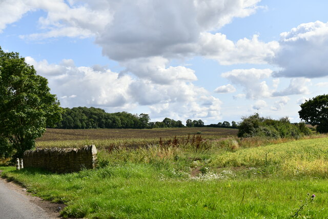
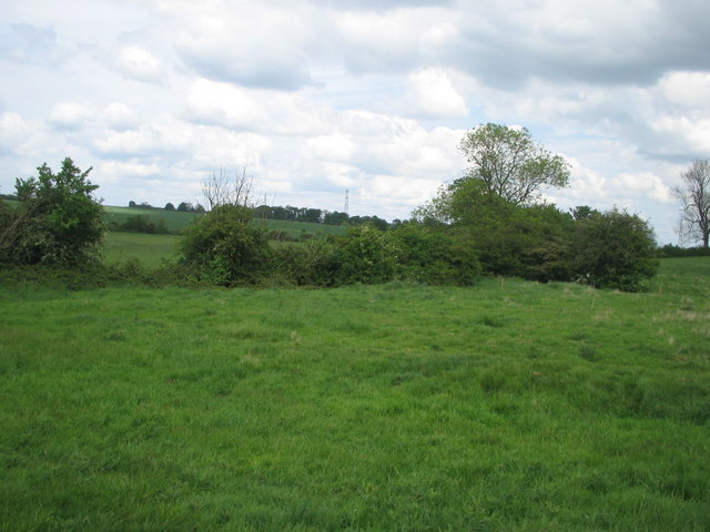
Lambert's Spinney is a picturesque woodland located in Bedfordshire, England. Situated near the village of Lambert's End, this enchanting forest covers an area of approximately 20 acres. It is known for its natural beauty, diverse wildlife, and tranquil atmosphere, attracting nature enthusiasts and hikers alike.
The Spinney is predominantly composed of native deciduous trees, such as oak, beech, and ash, which create a dense canopy that provides shade and shelter for a variety of flora and fauna. The forest floor is blanketed with a rich layer of leaf litter, creating a habitat for numerous woodland plants, including bluebells, primroses, and wild garlic, which paint the forest floor with vibrant colors during the spring season.
The woodland also boasts a network of well-maintained walking trails, allowing visitors to explore its beauty at their own pace. These paths wind through the forest, leading visitors to hidden glades, babbling streams, and peaceful ponds. Along the way, keen observers may spot woodland creatures such as deer, foxes, rabbits, and a multitude of bird species that call Lambert's Spinney their home.
Lambert's Spinney offers a serene escape from the hustle and bustle of daily life. It provides a perfect setting for nature lovers to relax, recharge, and reconnect with the natural world. With its scenic beauty and abundant wildlife, this wood in Bedfordshire truly offers an immersive experience in the heart of nature.
If you have any feedback on the listing, please let us know in the comments section below.
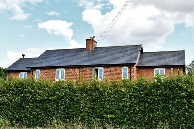
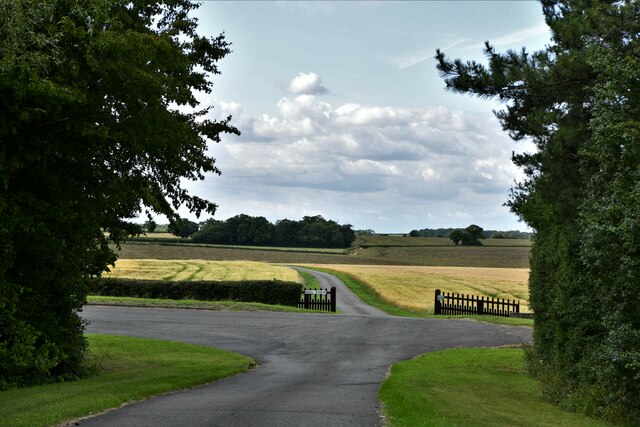
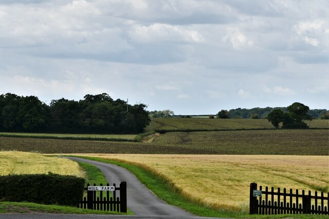
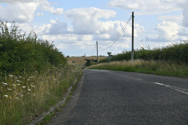
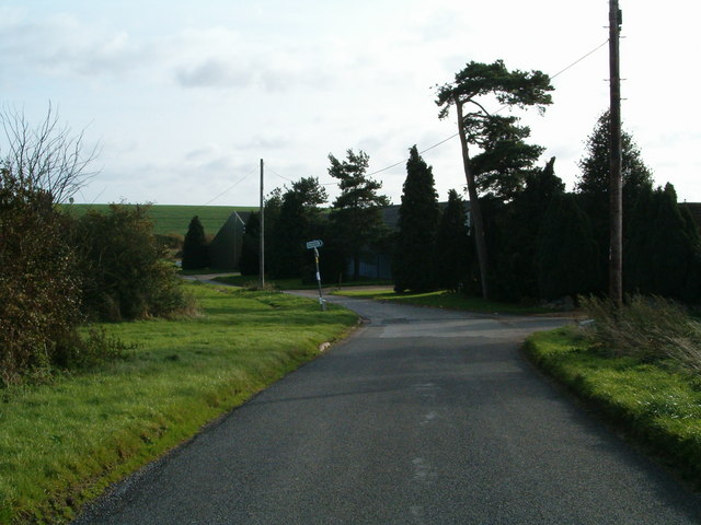
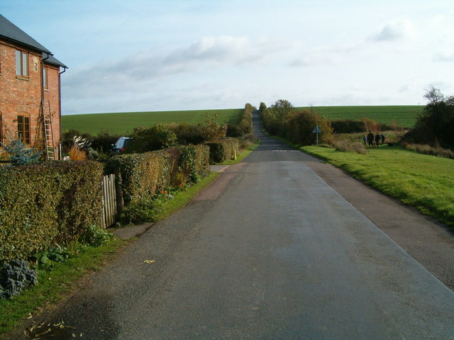
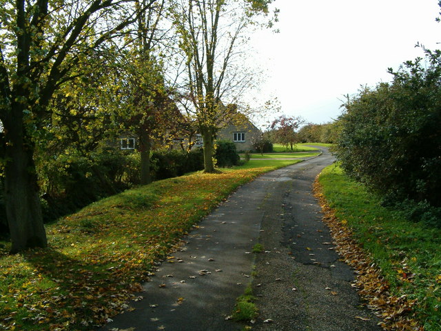
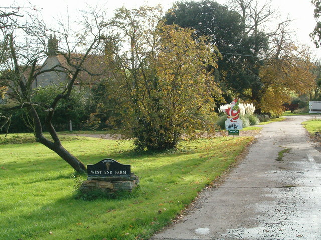
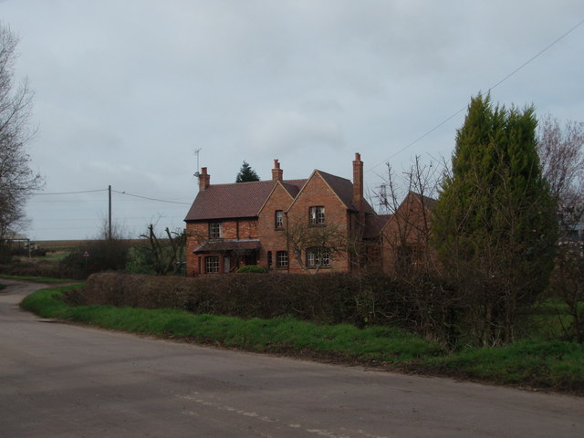
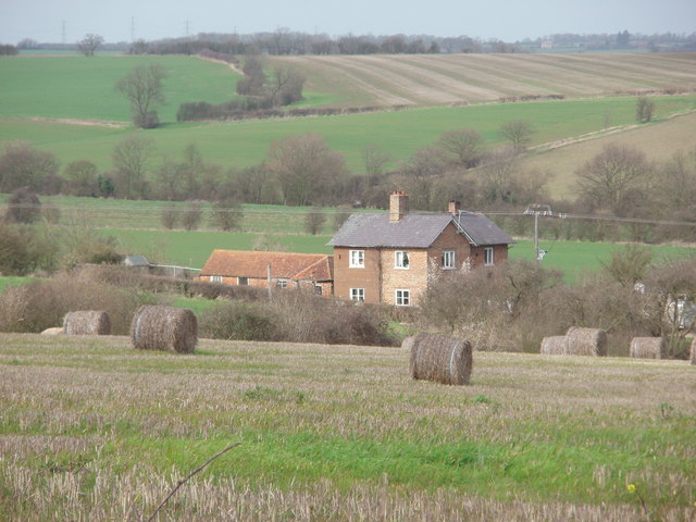
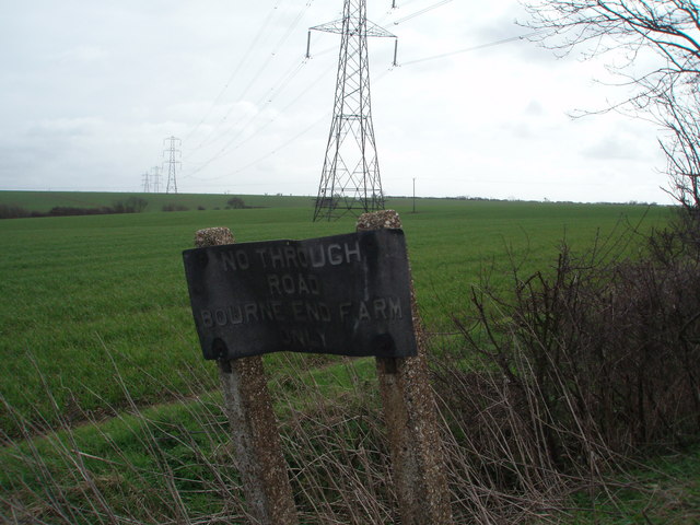
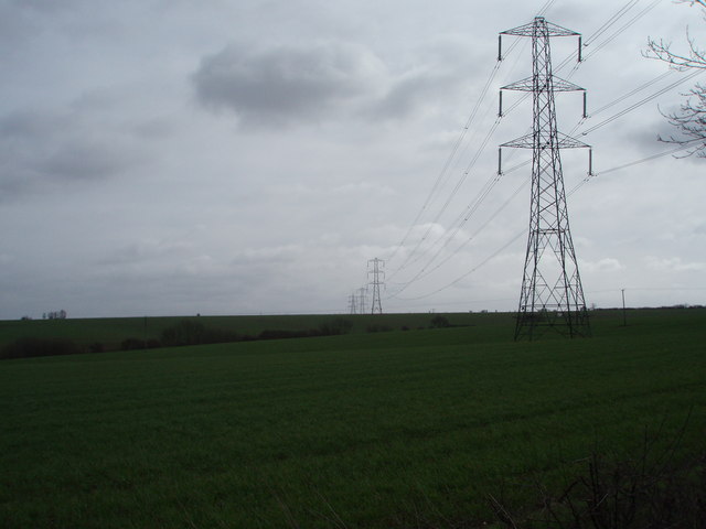
Lambert's Spinney Images
Images are sourced within 2km of 52.114172/-0.57195129 or Grid Reference SP9747. Thanks to Geograph Open Source API. All images are credited.

Lambert's Spinney is located at Grid Ref: SP9747 (Lat: 52.114172, Lng: -0.57195129)
Unitary Authority: Bedford
Police Authority: Bedfordshire
What 3 Words
///fastening.horns.faded. Near Stagsden, Bedfordshire
Nearby Locations
Related Wikis

Stagsden
Stagsden is a small but historic village and civil parish located in the Borough of Bedford, northwest Bedfordshire, England, near the Buckinghamshire...

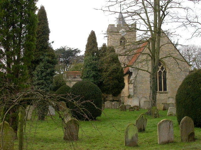
Church of St Leonard, Stagsden
Church of St Leonard is a Grade I listed church in Stagsden, Bedfordshire, England. It became a listed building on 13 July 1964. == See also == Grade...

Wood End, Bedfordshire
Wood End (or Kempston Wood End) is a small village located in the Borough of Bedford in Bedfordshire, England. The settlement was historically one of the...
Box End
Box End (or Kempston Box End) is a small village located in the Borough of Bedford in Bedfordshire, England. It is in the civil parish of Kempston Rural...
Nearby Amenities
Located within 500m of 52.114172,-0.57195129Have you been to Lambert's Spinney?
Leave your review of Lambert's Spinney below (or comments, questions and feedback).