Stagsden

Settlement in Bedfordshire

England

Stagsden

Astwood: The short road from the A422 lay-by then the track to Hill Farm
Astwood: The short road from the A422 lay-by then the track to Hill Farm Credit: Michael Garlick

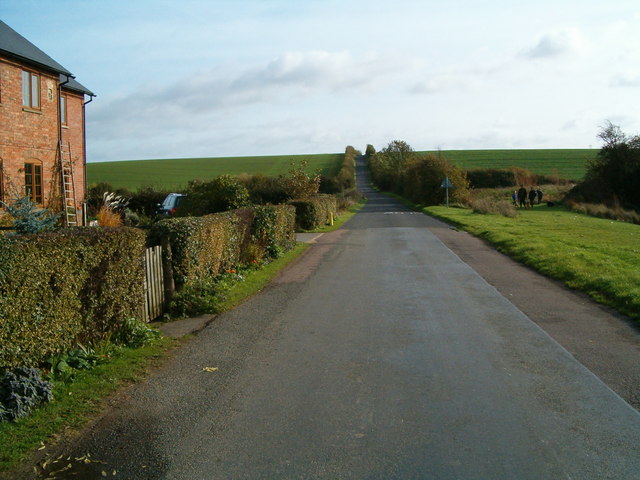
Stagsden is a small village located in the county of Bedfordshire, England. It is situated approximately 7 miles north of the town of Bedford and 11 miles south-west of the city of Milton Keynes. The village is nestled in a rural setting, surrounded by picturesque countryside and farmland.

Stagsden has a long and rich history, with evidence of human habitation dating back to the Neolithic period. The village is mentioned in the Domesday Book of 1086, where it is recorded as "Stachedene." Throughout the centuries, it has evolved from a farming and agricultural community to a more residential area.

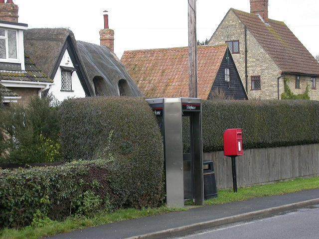
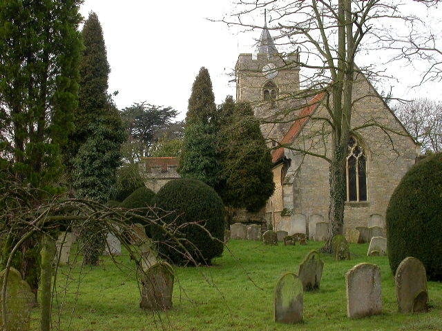
Today, Stagsden retains its rural charm and tranquility. The village is home to a close-knit community, with a population of around 900 residents. It offers a range of amenities, including a local primary school, village hall, and a charming parish church dedicated to St. Leonard. The village also has a pub, The Three Cranes, which serves as a popular meeting place for locals and visitors alike.

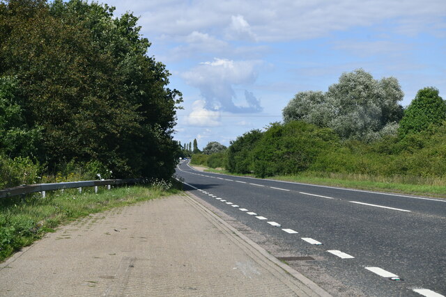
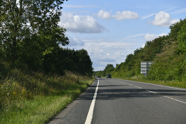
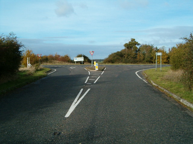
The surrounding countryside provides ample opportunities for outdoor activities, such as walking, cycling, and horseback riding. Stagsden is also well-connected to nearby towns and cities, with easy access to major road networks including the A421 and A428.

In summary, Stagsden is a quaint and peaceful village in Bedfordshire, known for its rural beauty, strong sense of community, and historical significance. It offers a pleasant and idyllic lifestyle for its residents, while also attracting visitors with its charm and natural surroundings.

If you have any feedback on the listing, please let us know in the comments section below.
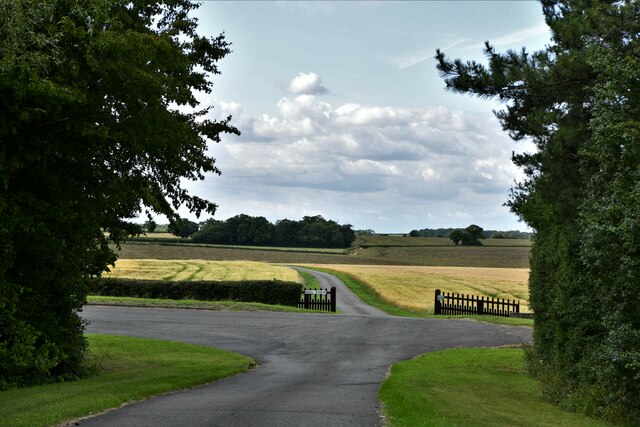
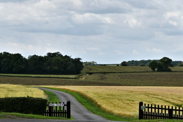
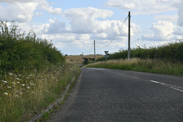
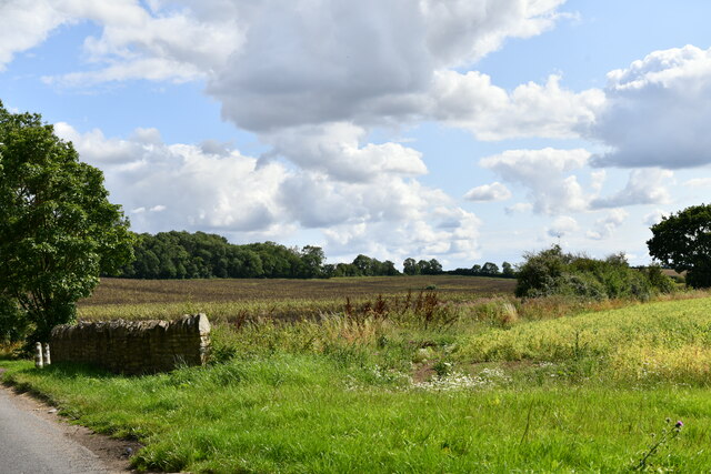
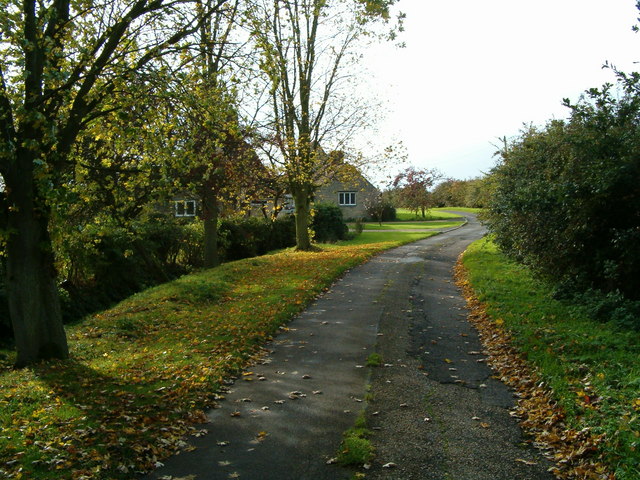
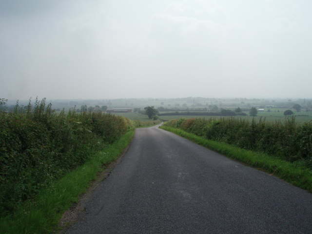
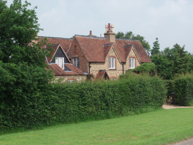
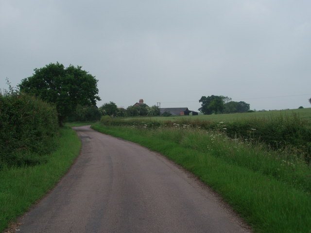
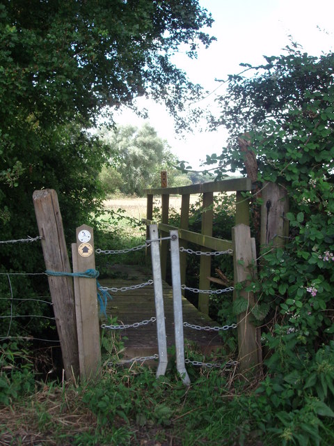
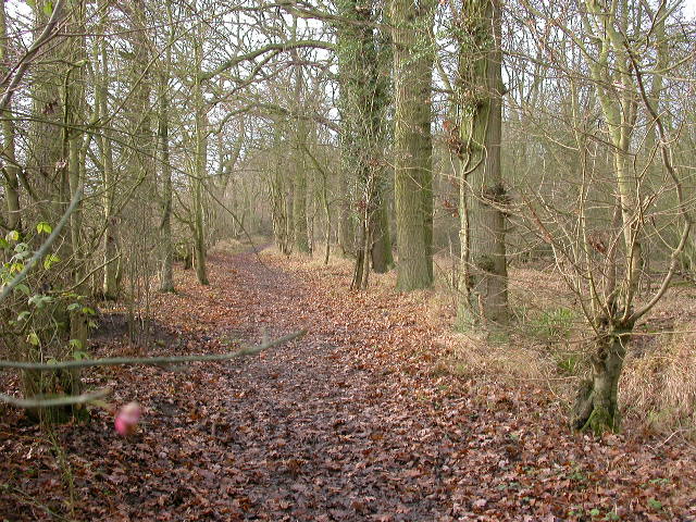
Stagsden Images

Images are sourced within 2km of 52.131351/-0.565352 or Grid Reference SP9849. Thanks to Geograph Open Source API. All images are credited.

Astwood: The short road from the A422 lay-by then the track to Hill Farm
Astwood: The track to Hill Farm
Stagsden: Hay Lane
Stagsden: Hay Lane
Stagsden, Spring Lane: Cultivated fields
Stagsden: A422 lay-by
Stagsden: The A422
Stagsden: The A422
Hanger Wood View south-west.
Hanger Wood
View south-west.
The A422 View past the junction with the B560.
The A422
View past the junction with the B560.
Phone Booth, Post Box and Cottages In Stagsden.
Phone Booth, Post Box and Cottages
In Stagsden.
St Leonard's Church In Stagsden
St Leonard's Church
In Stagsden
A422 road junction The junction of the road from Stagsden West End with the A422.
A422 road junction
The junction of the road from Stagsden West End with the A422.
The Firs The Firs, Stagsden West End.
The Firs
The Firs, Stagsden West End.
Rural Road The road rises up the hill from The Firs.
Rural Road
The road rises up the hill from The Firs.
Stagsden West End The narrow road leading through Stagsden West End.
Stagsden West End
The narrow road leading through Stagsden West End.
B560 The B560 from Stagsden to Kempston Church End.  Taken at the brow of the hill near Kempston West End.
B560
The B560 from Stagsden to Kempston Church End. Taken at the brow of the hill near Kempston West End.
Kempston West End One of three, or four cottages that make up Kempston West End.
Kempston West End
One of three, or four cottages that make up Kempston West End.
Pastures Farm Looking up the hill to Pastures Farm, near Stagsden.
Pastures Farm
Looking up the hill to Pastures Farm, near Stagsden.
An unusual stile An unusual style of stile, giving access to a footbridge over a gully.
An unusual stile
An unusual style of stile, giving access to a footbridge over a gully.
Show me another place!

Stagsden is located at Grid Ref: SP9849 (Lat: 52.131351, Lng: -0.565352)

Unitary Authority: Bedford

Police Authority: Bedfordshire

What 3 Words

///ushering.deflate.strange. Near Stagsden, Bedfordshire

Nearby Locations

Stagsden Wick End

Related Wikis

Church of St Leonard, Stagsden

Church of St Leonard is a Grade I listed church in Stagsden, Bedfordshire, England. It became a listed building on 13 July 1964. == See also == Grade...

Stagsden

Stagsden is a small but historic village and civil parish located in the Borough of Bedford, northwest Bedfordshire, England, near the Buckinghamshire...

Bedfordshire Golf Club

Bedfordshire Golf Club is a golf club to the east of Stagsden, Bedfordshire, England. Established in 1891, it is the oldest golf club in Bedfordshire....

Hanger Wood

Hanger Wood is an ancient woodland and Site of Special Scientific Interest (SSSI) in the parish of Stagsden, Bedfordshire in the United Kingdom. Situated...

Nearby Amenities

Located within 500m of 52.131351,-0.565352
Barrier: stile
Source: GPS waypoint
Lat/Long: 52.1307424/-0.5605441
Barrier: stile
Source: GPS waypoint
Lat/Long: 52.1305477/-0.5596247
Barrier: kissing_gate
Foot: yes
Lat/Long: 52.1342828/-0.5671876
Post Box
Operator: Royal Mail
Post Box Type: wall
Ref: MK43 253
Royal Cypher: GR
Royal Cypher Wikidata: Q33102273
Lat/Long: 52.1299414/-0.5674726
Post Box
Operator: Royal Mail
Post Box Type: lamp
Ref: MK43 120
Royal Cypher: EIIR
Royal Cypher Wikidata: Q33102113
Lat/Long: 52.1315534/-0.5626917
Browns of Stagsden
Addr City: Stagsden
Addr Country: GB
Addr Postcode: MK43 8SQ
Addr Street: High Street
Fhrs Authority: Bedford
Fhrs Id: 110489
Fhrs Local Authority Id: 40146
Phone: +44 1234 822330
Shop: butcher
Website: https://brownsofstagsden.co.uk/
Lat/Long: 52.1316162/-0.5653896
Addr Country: GB
Addr Housenumber: 50
Addr Street: Bedford Road
Lat/Long: 52.134496/-0.5602781
Addr Country: GB
Addr Housenumber: 48
Addr Street: Bedford Road
Lat/Long: 52.134413/-0.5603783
Addr Country: GB
Addr Housenumber: 44
Addr Street: High Street
Lat/Long: 52.1301992/-0.5672979
Addr Country: GB
Addr Housenumber: 8
Addr Street: Bedford Road
Lat/Long: 52.13189/-0.562695
Addr Country: GB
Addr Housenumber: 10
Addr Street: Bedford Road
Lat/Long: 52.1319982/-0.5626365
The data included in this document is from www.openstreetmap.org. The data is made available under ODbL.

Have you been to Stagsden?

Leave your review of Stagsden below (or comments, questions and feedback).