Springhill
Settlement in Staffordshire South Staffordshire
England
Springhill
Springhill is a small village located in the county of Staffordshire, England. Situated about 6 miles east of the town of Wolverhampton, it is nestled in the picturesque countryside of the West Midlands region. With a population of around 1,500 residents, Springhill retains a close-knit community atmosphere.
The village is known for its charming and idyllic setting, with rolling hills, green fields, and stunning views of the surrounding countryside. The area is rich in natural beauty, with plenty of walking trails and outdoor recreational opportunities, making it a popular destination for nature enthusiasts.
Springhill is also home to a number of historical landmarks and notable buildings. The village church, St. Lawrence's Church, stands as a prominent feature in the community, dating back to the 12th century. Its medieval architecture and beautiful stained glass windows attract visitors from near and far.
In terms of amenities, Springhill offers a range of facilities to cater to its residents' needs. There is a local primary school, providing education for children in the area, along with a village hall that serves as a hub for community activities and events. Additionally, the village boasts a few pubs and shops, ensuring that essential services are readily available to its residents.
Overall, Springhill, Staffordshire is a charming and welcoming village, offering a peaceful and picturesque setting for its residents. With its rich history, natural beauty, and strong sense of community, it is a place that many are proud to call home.
If you have any feedback on the listing, please let us know in the comments section below.
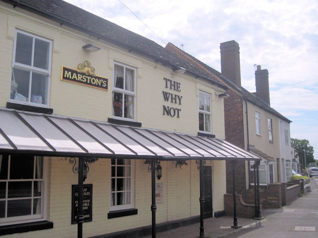
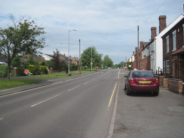
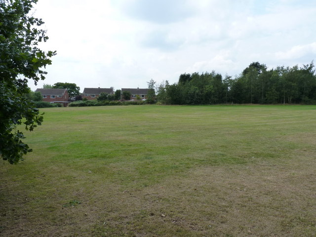
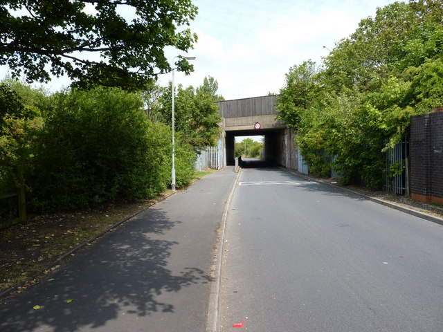
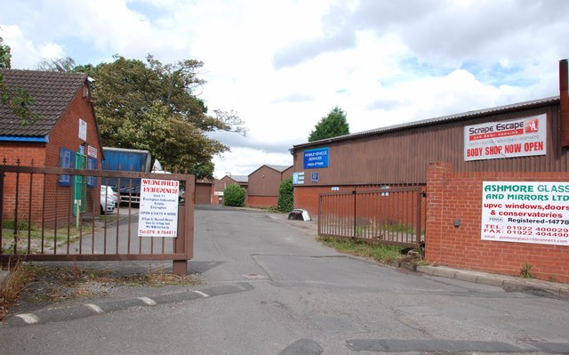
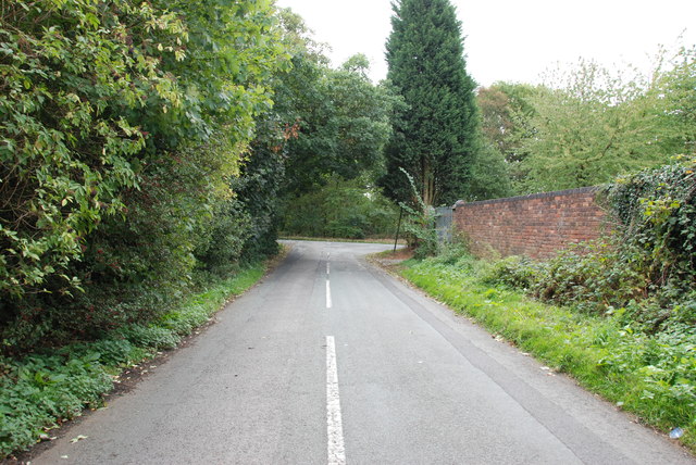
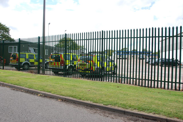
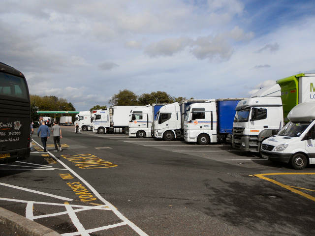
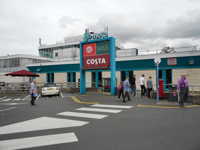
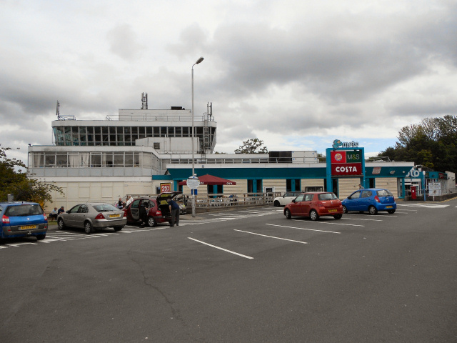
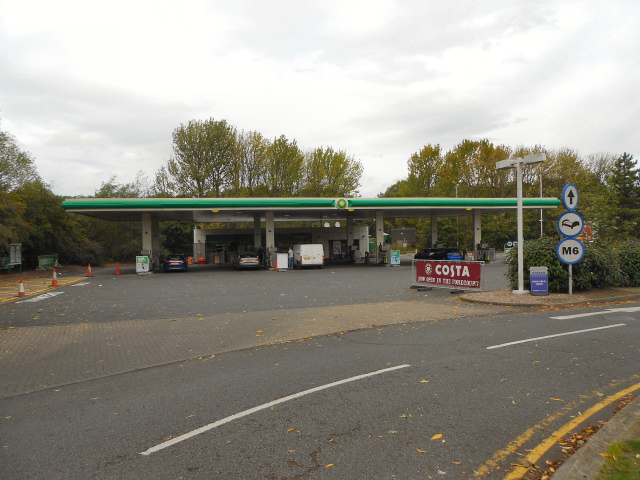
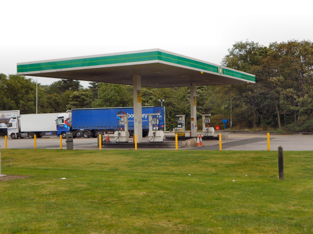
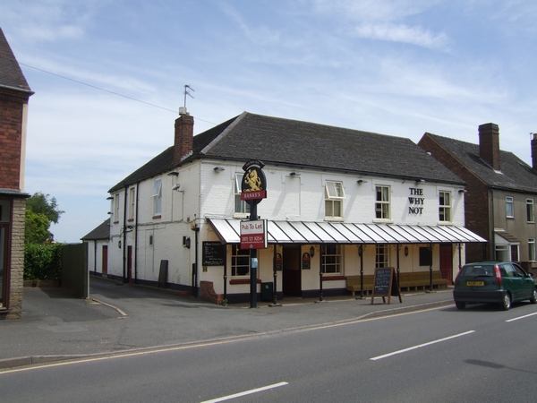
Springhill Images
Images are sourced within 2km of 52.635518/-2.036909 or Grid Reference SJ9704. Thanks to Geograph Open Source API. All images are credited.


Springhill is located at Grid Ref: SJ9704 (Lat: 52.635518, Lng: -2.036909)
Administrative County: Staffordshire
District: South Staffordshire
Police Authority: Staffordshire
What 3 Words
///handy.music.losses. Near Essington, Staffordshire
Nearby Locations
Related Wikis
Springhill, South Staffordshire
Springhill is a hamlet about a mile from Essington village, in the civil parish of Essington, in the South Staffordshire district, in the county of Staffordshire...

Wednesbury Town F.C.
Wednesbury Town F.C. was the name used for three football clubs based in Wednesbury, West Midlands, England. == Original club == The Wednesbury Football...

Essington
Essington is a village and civil parish in South Staffordshire, England, located near the city of Wolverhampton and towns of Walsall, Bloxwich, Cannock...
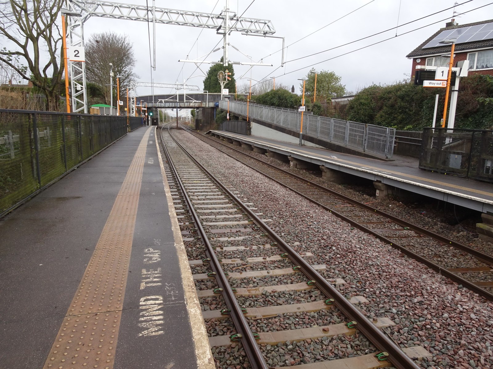
Bloxwich North railway station
Bloxwich North railway station serves the town of Bloxwich in the Metropolitan Borough of Walsall, West Midlands, England. The station, and all trains...
Nearby Amenities
Located within 500m of 52.635518,-2.036909Have you been to Springhill?
Leave your review of Springhill below (or comments, questions and feedback).