Springhill
Settlement in Staffordshire Lichfield
England
Springhill

Springhill is a small village located in the county of Staffordshire, England. Situated approximately 4 miles north of the town of Rugeley, it is nestled in the picturesque countryside of the Cannock Chase Area of Outstanding Natural Beauty.
The village is known for its tranquil and idyllic setting, surrounded by rolling hills, lush green fields, and dense woodlands. This makes it a popular destination for nature enthusiasts, hikers, and cyclists. The nearby Cannock Chase Forest offers a variety of outdoor activities, including walking trails, mountain biking routes, and wildlife spotting opportunities.
Springhill itself is a close-knit community with a population of around 500 residents. It boasts a charming village hall, a local pub, and a primary school, catering to the needs of the local families. The village hall hosts various events throughout the year, such as community gatherings, fairs, and social activities, fostering a sense of community spirit.
The village is well-connected to nearby towns and cities, with good road links to Rugeley, Stafford, and Cannock. This makes it an ideal location for those seeking a peaceful rural lifestyle while still having access to urban amenities. The village also benefits from a regular bus service, providing convenient transportation options.
Overall, Springhill offers a serene and picturesque countryside setting, coupled with a strong sense of community. It provides an ideal escape from the hustle and bustle of city life, while still being within easy reach of nearby towns and cities.
If you have any feedback on the listing, please let us know in the comments section below.
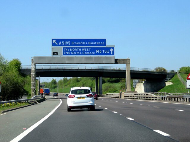
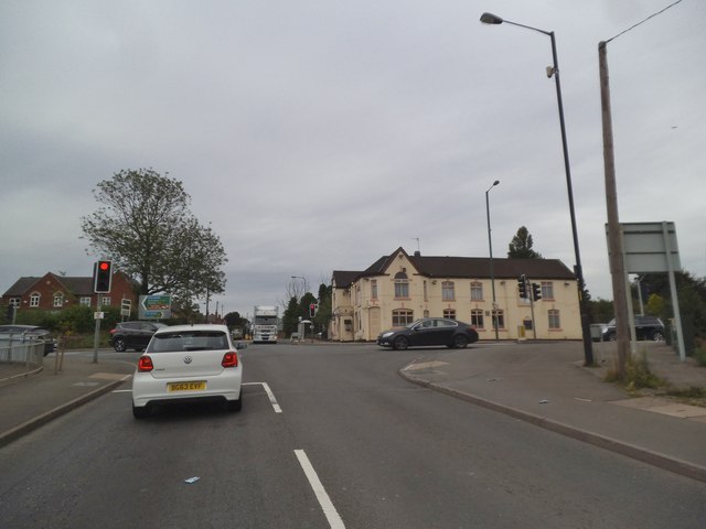
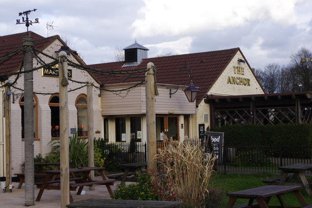
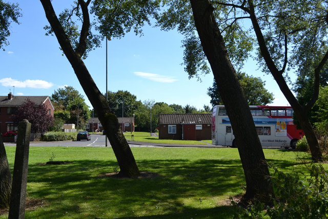
Springhill Images
Images are sourced within 2km of 52.647077/-1.898721 or Grid Reference SK0605. Thanks to Geograph Open Source API. All images are credited.


Springhill is located at Grid Ref: SK0605 (Lat: 52.647077, Lng: -1.898721)
Administrative County: Staffordshire
District: Lichfield
Police Authority: Staffordshire
What 3 Words
///moment.reference.contracting. Near Brownhills, West Midlands
Nearby Locations
Related Wikis
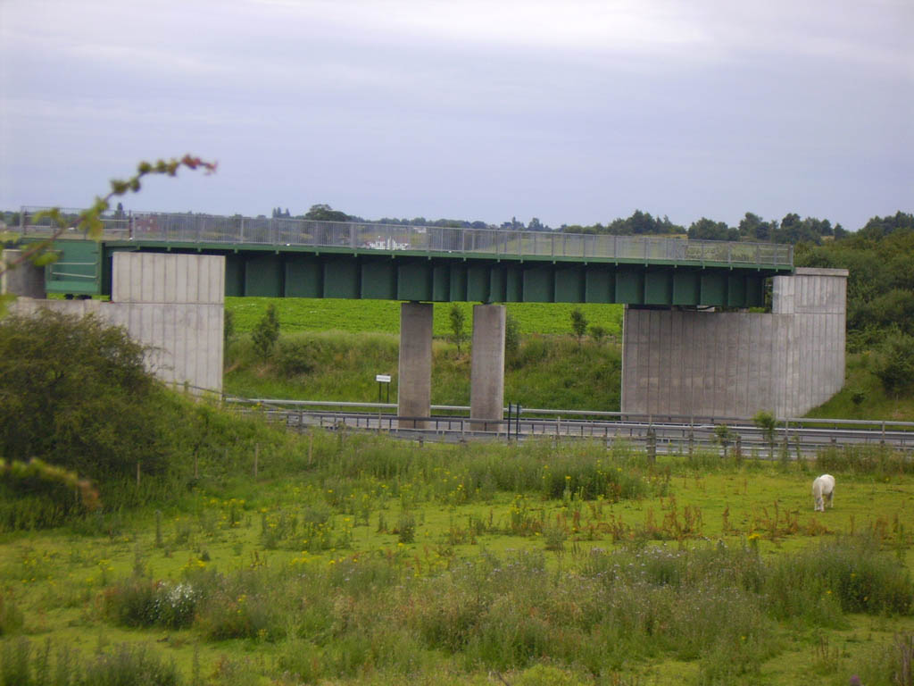
Lichfield Canal Aqueduct
The Lichfield Canal Aqueduct is a potentially navigable aqueduct over the M6 Toll Motorway, just to the west of Lichfield and north of Birmingham, England...
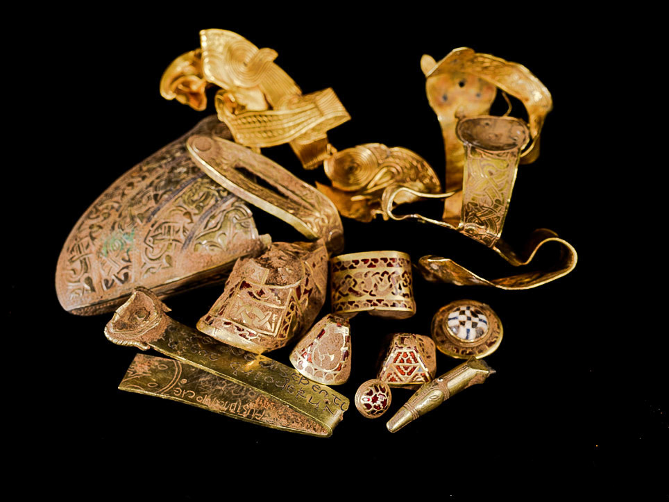
Staffordshire Hoard
The Staffordshire Hoard is the largest hoard of Anglo-Saxon gold and silver metalwork yet found. It consists of almost 4,600 items and metal fragments...
Ogley Junction
Ogley Junction (grid reference SK056060), on the Staffordshire county border near Brownhills, West Midlands, England, is a historic canal junction on the...

Stonnall
Stonnall is a large village in Staffordshire, England, close to Shenstone, Brownhills, Walsall Wood and Aldridge. It is divided into Upper Stonnall, Stonnall...
Muckley Corner
Muckley Corner is a small village and area of Hammerwich in Lichfield District of Staffordshire, England. The area is located on the A5 (Watling Street...
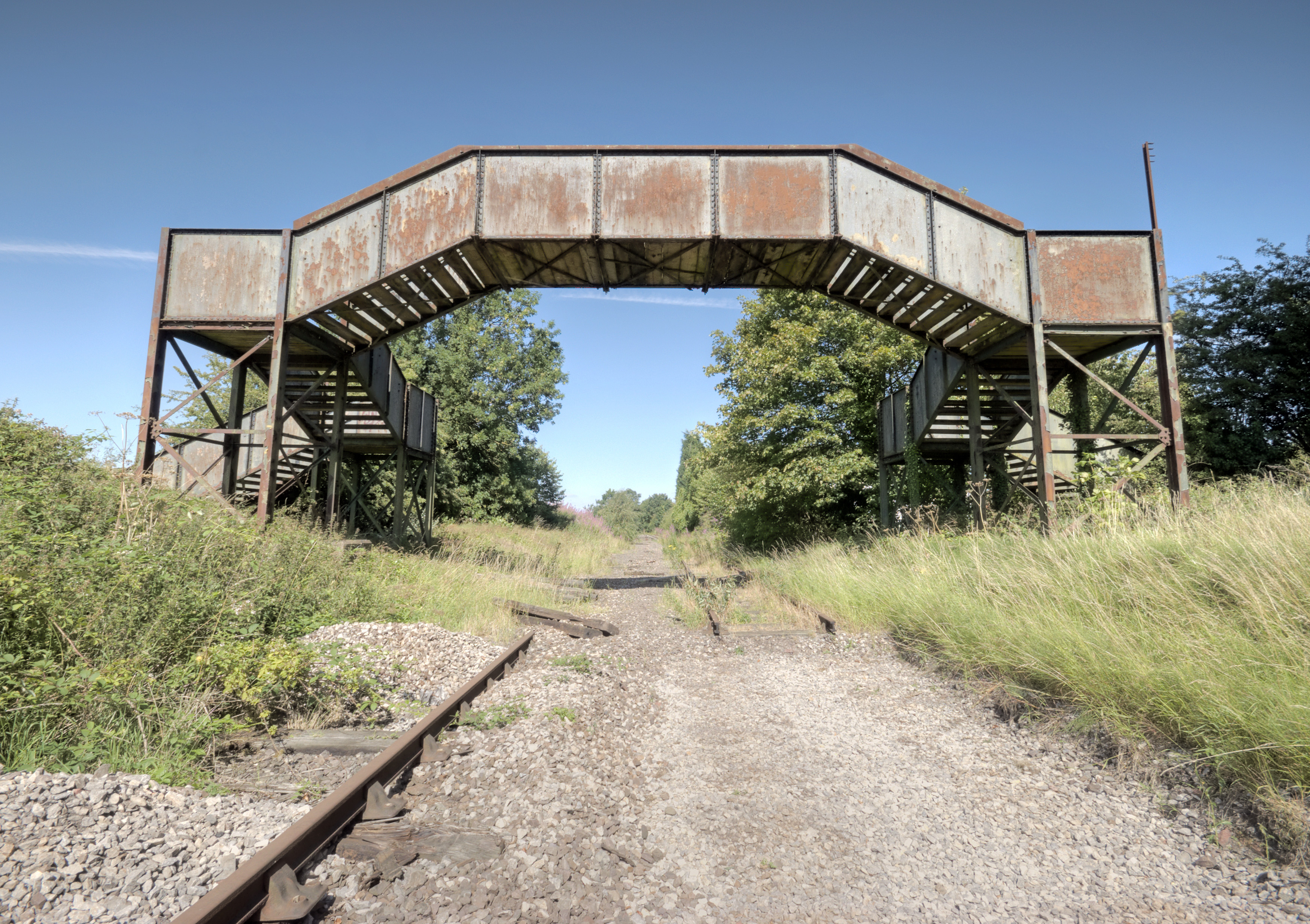
Hammerwich railway station
Hammerwich railway station is a disused station on the South Staffordshire Line. It opened in 1849. It closed as part of the Beeching Axe in January...

Shire Oak Academy
The Shire Oak Academy (formerly Shire Oak School and Shire Oak Grammar School) is a coeducational academy school (age range 11–18) in Walsall Wood, West...
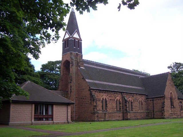
St James' Church, Brownhills
St James' Church is the parish church of Brownhills, Clayhanger and Ogley Hay in the West Midlands, England. It is an active place of worship serving the...
Nearby Amenities
Located within 500m of 52.647077,-1.898721Have you been to Springhill?
Leave your review of Springhill below (or comments, questions and feedback).