Brick Kiln Wood
Wood, Forest in Staffordshire South Staffordshire
England
Brick Kiln Wood
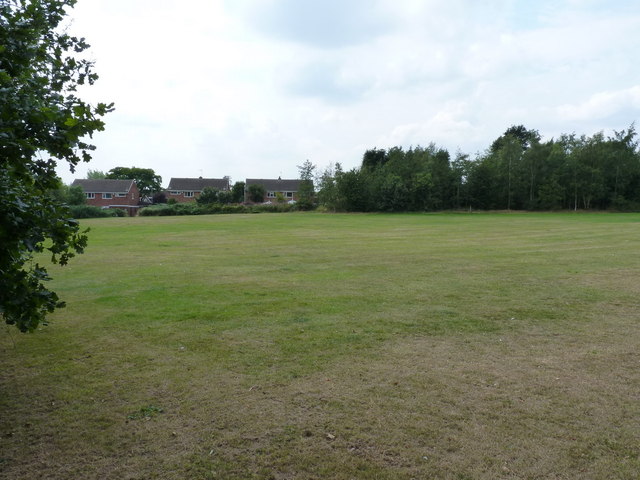
Brick Kiln Wood is a picturesque woodland located in Staffordshire, England. Covering an area of approximately 50 acres, it is a popular destination for nature lovers and outdoor enthusiasts. The wood is characterized by its dense canopy of mixed deciduous trees, including oak, beech, and birch, which provide a beautiful display of colors throughout the seasons.
The woodland is home to a diverse range of flora and fauna, making it an ideal habitat for various species of birds, mammals, and insects. Birdwatchers can spot a variety of feathered creatures, such as woodpeckers, owls, and warblers, while the lucky observer might catch a glimpse of deer or foxes roaming the forest floor.
The wood is crisscrossed by a network of well-maintained footpaths, allowing visitors to explore the area and appreciate its natural beauty. These paths lead to several hidden clearings and ponds, adding to the charm and tranquility of the wood. Additionally, there are designated picnic areas and benches for visitors to relax and enjoy the peaceful surroundings.
Brick Kiln Wood is a designated Site of Special Scientific Interest (SSSI) due to its ecological importance. The wood is managed by local authorities to preserve its biodiversity and natural heritage.
Overall, Brick Kiln Wood offers a serene and idyllic setting for nature enthusiasts, providing an opportunity to immerse oneself in the beauty of Staffordshire's natural landscape.
If you have any feedback on the listing, please let us know in the comments section below.
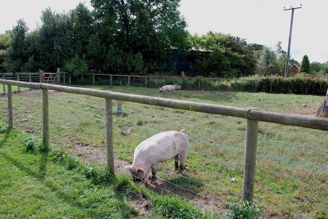
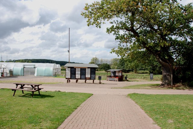
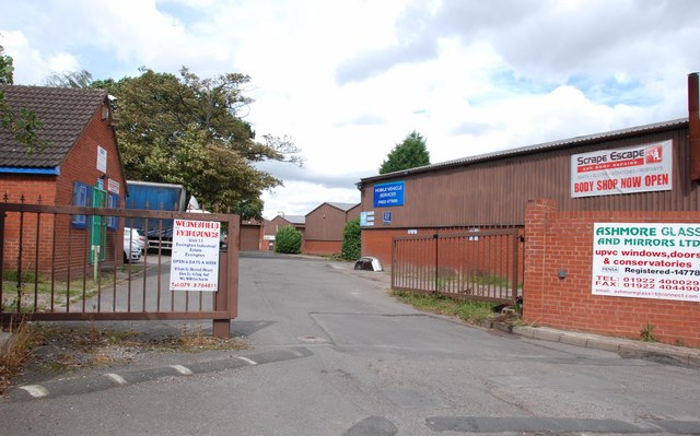
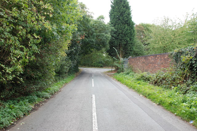
Brick Kiln Wood Images
Images are sourced within 2km of 52.637851/-2.0456919 or Grid Reference SJ9704. Thanks to Geograph Open Source API. All images are credited.

Brick Kiln Wood is located at Grid Ref: SJ9704 (Lat: 52.637851, Lng: -2.0456919)
Administrative County: Staffordshire
District: South Staffordshire
Police Authority: Staffordshire
What 3 Words
///serve.bliss.fatherly. Near Essington, Staffordshire
Nearby Locations
Related Wikis
Springhill, South Staffordshire
Springhill is a hamlet about a mile from Essington village, in the civil parish of Essington, in the South Staffordshire district, in the county of Staffordshire...

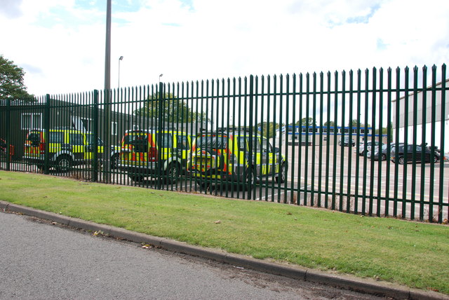
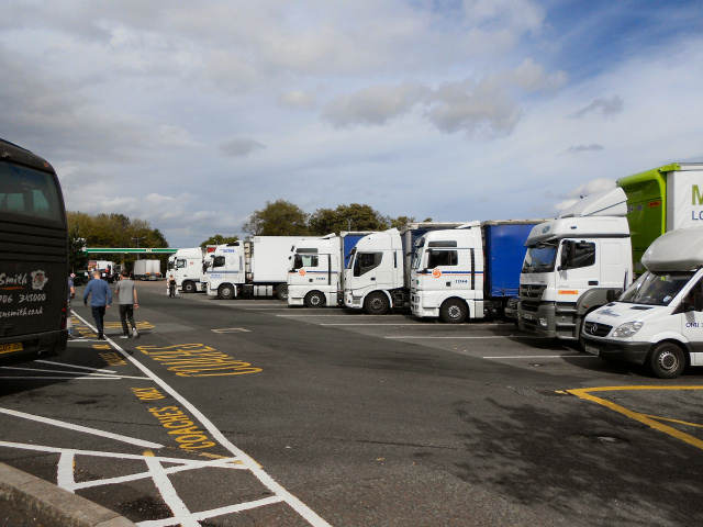
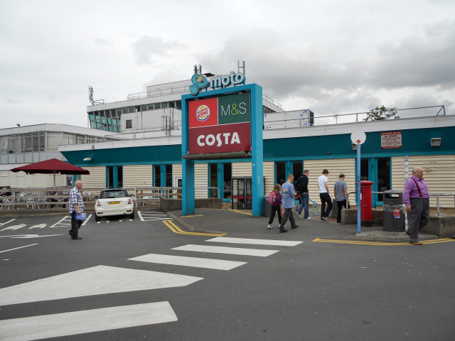
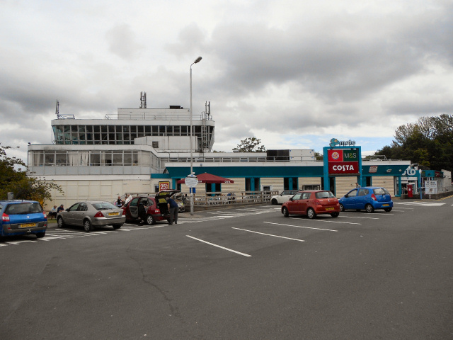
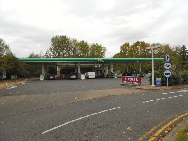
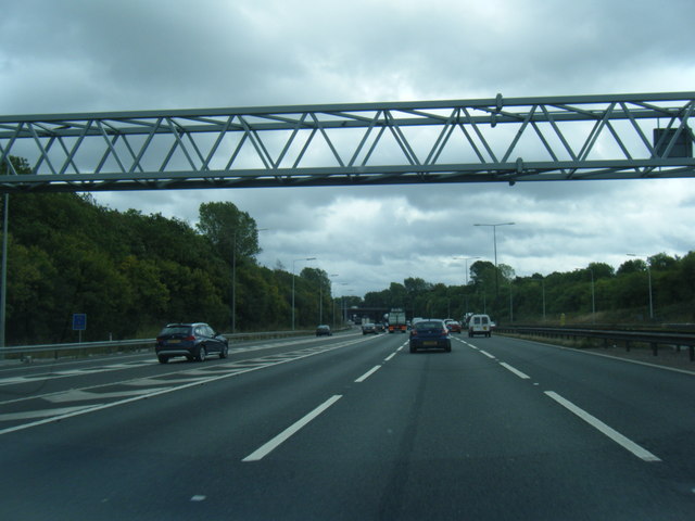
Hilton Park services
Hilton Park services is a motorway service station, between junctions 10a and 11 of the M6 motorway in Staffordshire, England. The nearest city is Wolverhampton...

Essington
Essington is a village and civil parish in South Staffordshire, England, located near the city of Wolverhampton and towns of Walsall, Bloxwich, Cannock...

Wednesbury Town F.C.
Wednesbury Town F.C. was the name used for three football clubs based in Wednesbury, West Midlands, England. == Original club == The Wednesbury Football...
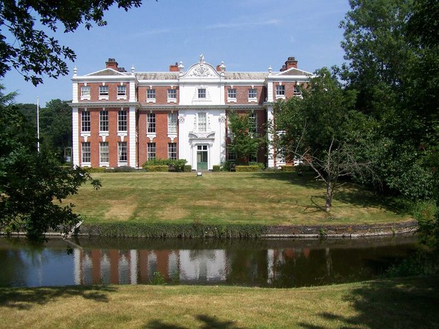
Hilton Hall
Hilton Hall is an 18th-century mansion house now in use as an Office and Business Centre at Hilton, near Wolverhampton, in Staffordshire. It is a Grade...
Essington Hall Farmhouse
Essington Hall Farmhouse is a grade II listed building in Essington, Staffordshire. == See also == Listed buildings in Essington == References ==
Black Country UTC
Black Country UTC was a university technical college (UTC) located in the Bloxwich area of Walsall, West Midlands, England. The University of Wolverhampton...
Sneyd Comprehensive School
Sneyd Comprehensive School was a secondary school located in Bloxwich, West Midlands, England. The building of the school started in 1978, to serve the...
Nearby Amenities
Located within 500m of 52.637851,-2.0456919Have you been to Brick Kiln Wood?
Leave your review of Brick Kiln Wood below (or comments, questions and feedback).