Moorcroft Wood

Wood, Forest in Staffordshire

England

Moorcroft Wood

Tame Valley Canal towards the former Goldshill Stop Railway Bridge
Tame Valley Canal towards the former Goldshill Stop Railway Bridge Credit: Ian S

Moorcroft Wood is a picturesque woodland located in Staffordshire, England. Covering an area of approximately 50 hectares, it is a popular destination for nature lovers and outdoor enthusiasts. The wood is situated near the village of Biddulph, just a short distance from the town of Stoke-on-Trent.

Moorcroft Wood is characterized by its diverse and ancient woodland, featuring a variety of tree species such as oak, beech, and birch. The canopy of trees provides a shady and tranquil atmosphere, making it an ideal place for peaceful walks and relaxation. The forest floor is adorned with a carpet of bluebells during the spring, creating a stunning display of vibrant colors.

The wood is home to a wide range of wildlife, including birds, mammals, and insects. Visitors may have the opportunity to spot species such as tawny owls, woodpeckers, and deer. There are also several designated birdwatching areas, allowing enthusiasts to observe and study the various bird species that inhabit the wood.

Moorcroft Wood offers a network of well-maintained footpaths and trails, providing ample opportunities for exploration and discovery. There are also picnic areas and benches scattered throughout the wood, allowing visitors to take a break and enjoy the peaceful surroundings.

Managed by the Staffordshire Wildlife Trust, Moorcroft Wood is a haven for biodiversity and a vital habitat for many species. It serves as an important educational resource, offering guided walks and events to raise awareness about the importance of woodland conservation.

Overall, Moorcroft Wood is a stunning natural gem in Staffordshire, offering visitors a chance to immerse themselves in the beauty of nature and experience the tranquility of a well-preserved woodland environment.

If you have any feedback on the listing, please let us know in the comments section below.

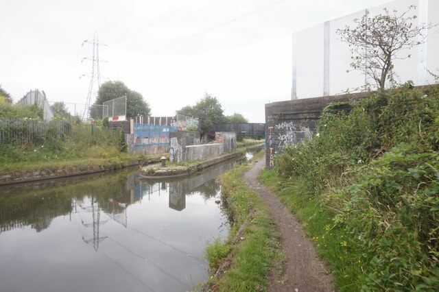
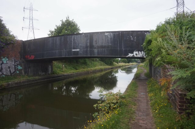
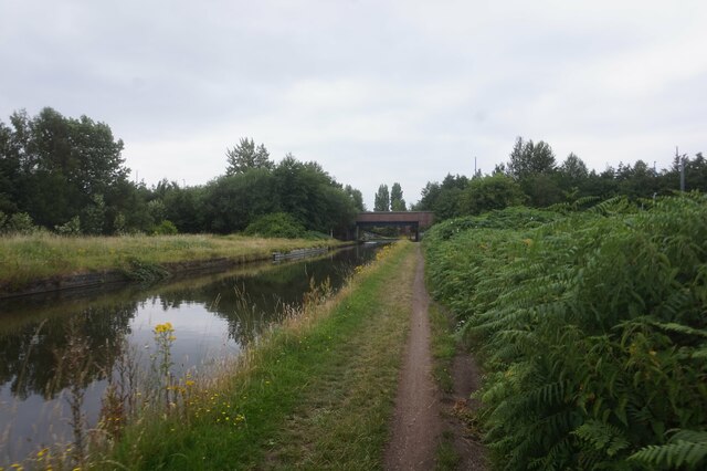
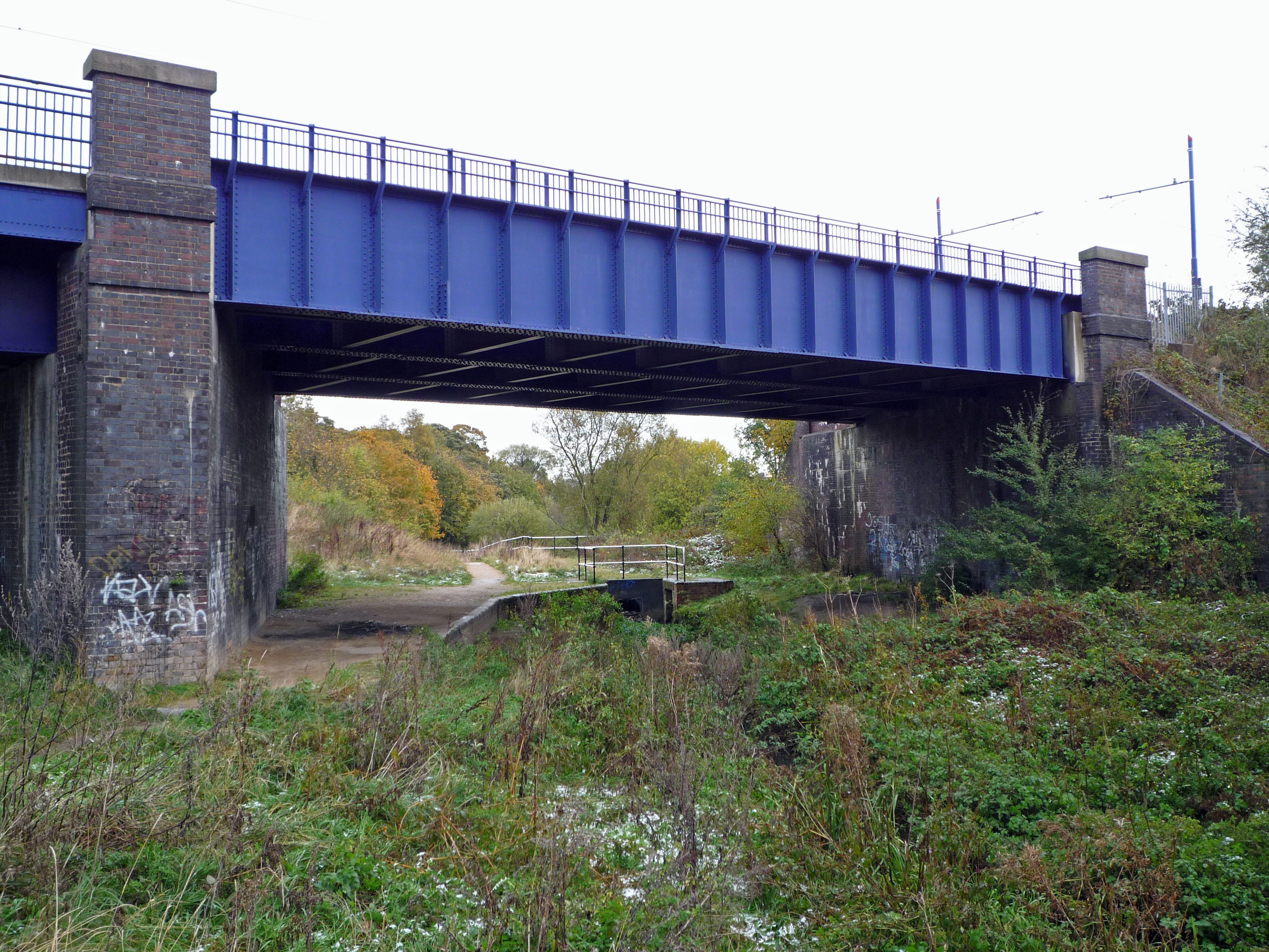
Moorcroft Wood Images

Images are sourced within 2km of 52.554327/-2.0455604 or Grid Reference SO9795. Thanks to Geograph Open Source API. All images are credited.

Tame Valley Canal towards the former Goldshill Stop Railway Bridge
Tame Valley Canal at Golds Hill Railway Bridge
Pipeline over the Tame Valley Canal Near Golds Hill Bridge.
Pipeline over the Tame Valley Canal
Near Golds Hill Bridge.
Tame Valley Canal towards Spine Road Bridge
Tame Valley Canal at Walsall Canal
Walsall Canal at Tame Valley #2 Bridge
Walsall Canal from Tame Valley #2 Bridge
Walsall Canal from Tame Valley #2 Bridge Towards Tame Valley #1 Bridge.
Walsall Canal from Tame Valley #2 Bridge
Towards Tame Valley #1 Bridge.
Walsall Canal towards Tame Valley #1 Bridge
Tame Valley Canal from the Walsall Canal
Walsall Canal at Ocker Hill Branch Bridge
Ocker Hill Branch, Walsall Canal
Walsall Canal towards Masons Brickworks Basin Bridge
Walsall Canal from Masons Brickworks Basin Bridge
Pipe over the Walsall Canal
Richards Art Gallery & Museum, Wednesbury Built in 1890 to a design by Wood and Kendrick, and now housing a collection of art and craft exhibits, along with period architecture including a fine stone staircase with cast iron balusters. It attracted a Grade II listing <span class="nowrap"><a title="https://britishlistedbuildings.co.uk/101077118-richards-art-gallery-and-museum-wednesbury-south-ward#.YXGDThrMLIU" rel="nofollow ugc noopener" href="https://britishlistedbuildings.co.uk/101077118-richards-art-gallery-and-museum-wednesbury-south-ward#.YXGDThrMLIU">Link</a><img style="margin-left:2px;" alt="External link" title="External link - shift click to open in new window" src="https://s1.geograph.org.uk/img/external.png" width="10" height="10"/></span> & <span class="nowrap"><a title="https://historicengland.org.uk/listing/the-list/list-entry/1077118" rel="nofollow ugc noopener" href="https://historicengland.org.uk/listing/the-list/list-entry/1077118">Link</a><img style="margin-left:2px;" alt="External link" title="External link - shift click to open in new window" src="https://s1.geograph.org.uk/img/external.png" width="10" height="10"/></span> in 1987.
Richards Art Gallery & Museum, Wednesbury
Built in 1890 to a design by Wood and Kendrick, and now housing a collection of art and craft exhibits, along with period architecture including a fine stone staircase with cast iron balusters. It attracted a Grade II listing LinkExternal link & LinkExternal link in 1987.
OS benchmark - Wednesbury, Town Hall An OS cutmark beside the entrance door to <a href="https://www.geograph.org.uk/photo/863858">SO9894 : Town Hall and old Post Office</a>, last levelled in 1962 at 131.497m above Ordnance Datum Newlyn. It does appear on the 1937/38 1:2500 map at a height of 431.47 ft above Liverpool datum, which rather suggests it was used in the 1st Geodetic Levelling survey, a supposition that is supported by the style of the cuts.
OS benchmark - Wednesbury, Town Hall
An OS cutmark beside the entrance door to SO9894 : Town Hall and old Post Office, last levelled in 1962 at 131.497m above Ordnance Datum Newlyn. It does appear on the 1937/38 1:2500 map at a height of 431.47 ft above Liverpool datum, which rather suggests it was used in the 1st Geodetic Levelling survey, a supposition that is supported by the style of the cuts.
Show me another place!

Moorcroft Wood is located at Grid Ref: SO9795 (Lat: 52.554327, Lng: -2.0455604)

Unitary Authority: Walsall

Police Authority: West Midlands

What 3 Words

///areas.churn.axed. Near Darlaston, West Midlands

Related Wikis

Gospel Oak School

Gospel Oak School (formerly The Royal Society of Arts (RSA) Academy and Willingsworth High School) is one of the new academies opened in England. The school...

Bradley Branch

The Bradley Branch or Bradley Locks Branch was a short canal of the Birmingham Canal Navigations in the West Midlands, England. Completed in 1849, it included...

Bradley and Moxley railway station

Bradley and Moxley railway station was a station on the Great Western Railway's London Paddington to Birkenhead via Birmingham Snow Hill line. It was opened...

Patent Shaft

Patent Shaft, formerly The Patent Shaft and Axletree Company, established in 1840, was a large steelworks situated in Wednesbury, West Midlands, England...

Nearby Amenities

Located within 500m of 52.554327,-2.0455604
Source: bing
Traffic Calming: bump
Lat/Long: 52.554317/-2.0474998
Source: bing
Traffic Calming: bump
Lat/Long: 52.5537775/-2.0473961
Post Box
Lat/Long: 52.5553423/-2.0394177
Bull Lane / Dorothy Purcell School
Naptan AtcoCode: 43000684801
Naptan Bearing: W
Naptan BusStopType: CUS
Naptan CommonName: Dorothy Purcell School
Naptan Indicator: adj
Naptan NaptanCode: nwmtjmap
Naptan PlusbusZoneRef: BHAMNWS
Naptan Status: DEL
Naptan StopType: BCT
Naptan Street: BULL LANE
Naptan Verified: no
Note: removed between initial NaPTAN import 2009 and WMCA refresh 2017. Any errors just re-instate bus_stop tag
Source: WMCA
Lat/Long: 52.5556084/-2.0507835
Bus Stop
Bull Lane / Dorothy Purcell School
Bus: yes
Naptan AtcoCode: 43000684802
Naptan Bearing: E
Naptan BusStopType: CUS
Naptan CommonName: Dorothy Purcell School
Naptan Indicator: opp
Naptan NaptanCode: nwmtjmat
Naptan PlusbusZoneRef: BHAMNWS
Naptan Status: ACT
Naptan StopType: BCT
Naptan Street: BULL LANE
Naptan Towards: Moxley
Naptan Verified: no
Public Transport: platform
Route Ref: 80
Source: WMCA
Lat/Long: 52.555694/-2.0507808
Charnwood Cl / Ashtree Grove
Naptan AtcoCode: 43000680801
Naptan Bearing: E
Naptan BusStopType: CUS
Naptan CommonName: Ashtree Grove
Naptan NaptanCode: nwmtatwm
Naptan PlusbusZoneRef: BHAMNWS
Naptan Status: DEL
Naptan StopType: BCT
Naptan Street: CHARNWOOD CL
Naptan Verified: no
Note: removed between initial NaPTAN import 2009 and WMCA refresh 2017. Any errors just re-instate bus_stop tag
Source: WMCA
Lat/Long: 52.5570347/-2.0506967
Bus Stop
Charnwood Cl / Ashtree Grove
Bus: yes
Naptan AtcoCode: 43000680802
Naptan Bearing: NW
Naptan BusStopType: CUS
Naptan CommonName: Ashtree Grove
Naptan Indicator: after
Naptan NaptanCode: nwmtatwp
Naptan PlusbusZoneRef: BHAMNWS
Naptan Status: ACT
Naptan StopType: BCT
Naptan Street: CHARNWOOD CL
Naptan Towards: Bilston
Naptan Verified: no
Public Transport: platform
Route Ref: 80
Source: WMCA
Lat/Long: 52.556829/-2.0504633
Bus Stop
Great Bridge Rd / Railway Bridge
Bus: yes
Naptan AtcoCode: 43000719701
Naptan Bearing: N
Naptan BusStopType: MKD
Naptan CommonName: Railway Bridge
Naptan Indicator: after
Naptan NaptanCode: nwmdjdjg
Naptan PlusbusZoneRef: BHAMNWS
Naptan Status: ACT
Naptan StopType: BCT
Naptan Street: GREAT BRIDGE RD
Naptan Towards: Bilston
Naptan Verified: no
Public Transport: platform
Route Ref: 23
Source: WMCA
Lat/Long: 52.5526654/-2.0509129
Bus Stop
Great Bridge Rd / Bull Lane
Bus: yes
Naptan AtcoCode: 43000689401
Naptan Bearing: SE
Naptan BusStopType: MKD
Naptan CommonName: Bull Lane
Naptan Indicator: adj
Naptan NaptanCode: nwmdjdaj
Naptan PlusbusZoneRef: BHAMNWS
Naptan Status: ACT
Naptan StopType: BCT
Naptan Street: GREAT BRIDGE RD
Naptan Towards: Wednesbury
Naptan Verified: no
Public Transport: platform
Route Ref: 23;80
Source: WMCA
Lat/Long: 52.5550293/-2.0520809
Moxley
Place: suburb
Source: OS _OpenData _StreetView
Wikidata: Q6927524
Wikipedia: en:Moxley
Lat/Long: 52.5573644/-2.0465687
Power: tower
Source: bing
Lat/Long: 52.5524756/-2.0393164
Power: tower
Source: bing
Lat/Long: 52.5539693/-2.0420985
Power: tower
Source: bing
Lat/Long: 52.5559944/-2.0459619
E.ON Logistics Centre
Addr City: Wednesbury
Addr Housename: Unit A, Moorcroft Park
Addr Postcode: WS10 7XD
Addr Street: Patent Drive
Building: industrial
Building Levels: 2
Website: https://www.eonenergy.com/
Wikidata: Q3045727
Wikipedia: en:E.ON UK
Lat/Long: 52.5528737/-2.0430998
Barrier: lift_gate
Lat/Long: 52.5566513/-2.0419462
Generator Method: photovoltaic
Generator Output Electricity: yes
Generator Source: solar
Generator Type: solar_photovoltaic_panel
Power: generator
Lat/Long: 52.5530643/-2.0470324
Generator Method: photovoltaic
Generator Output Electricity: yes
Generator Source: solar
Generator Type: solar_photovoltaic_panel
Power: generator
Lat/Long: 52.5530422/-2.0472014
Generator Method: photovoltaic
Generator Output Electricity: yes
Generator Source: solar
Generator Type: solar_photovoltaic_panel
Power: generator
Lat/Long: 52.5533211/-2.0484003
Generator Method: photovoltaic
Generator Output Electricity: yes
Generator Source: solar
Generator Type: solar_photovoltaic_panel
Power: generator
Lat/Long: 52.5502836/-2.0466274
Generator Method: photovoltaic
Generator Output Electricity: yes
Generator Source: solar
Generator Type: solar_photovoltaic_panel
Power: generator
Lat/Long: 52.5502314/-2.0471853
Mini Roundabout
Lat/Long: 52.5564554/-2.0421662
Bench
Backrest: yes
Lat/Long: 52.5547172/-2.046366
The data included in this document is from www.openstreetmap.org. The data is made available under ODbL.

Have you been to Moorcroft Wood?

Leave your review of Moorcroft Wood below (or comments, questions and feedback).