Horsefields Gorse

Wood, Forest in Staffordshire South Staffordshire

England

Horsefields Gorse

The Why Not at Springhill
The Why Not at Springhill Credit: John Firth

Horsefields Gorse is a woodland area located in the county of Staffordshire, England. It is situated near the village of Horsefields, hence the name. This woodland covers an extensive area and is known for its dense growth of gorse bushes, which dominate the landscape.

Gorse is a shrub that is characterized by its bright yellow flowers and sharp thorns. It thrives in sandy and acidic soils, making Horsefields Gorse an ideal habitat for it. The gorse bushes provide shelter and food for various species of birds and insects, making the woodland a haven for wildlife.

The woodland itself is a mix of mature trees, including oak, birch, and beech, which create a diverse and rich ecosystem. The dense undergrowth of brambles and ferns provides additional cover for small mammals such as rabbits and field mice. The forest floor is adorned with patches of bluebells during the spring season, creating a vibrant and picturesque sight.

Horsefields Gorse is a popular destination for nature enthusiasts and walkers. There are several well-marked trails that wind their way through the woodland, offering visitors the opportunity to explore its natural beauty. The peaceful atmosphere and the soothing sounds of birdsong make it an ideal place for relaxation and contemplation.

The woodland is managed by the local council, who ensure its conservation and protection. Horsefields Gorse is a valuable natural asset to the region, providing not only a habitat for wildlife but also a tranquil retreat for visitors seeking to connect with nature.

If you have any feedback on the listing, please let us know in the comments section below.

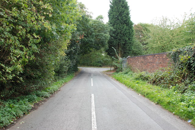
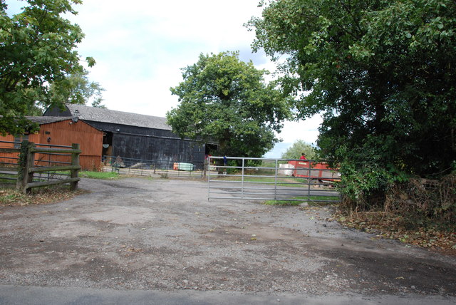
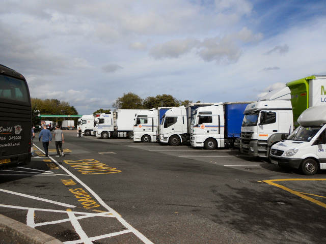
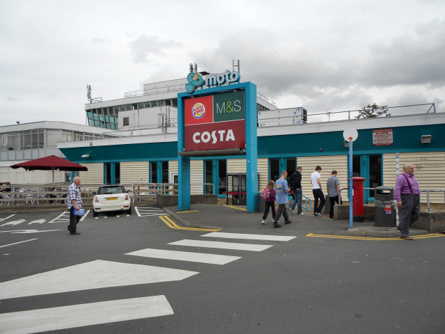
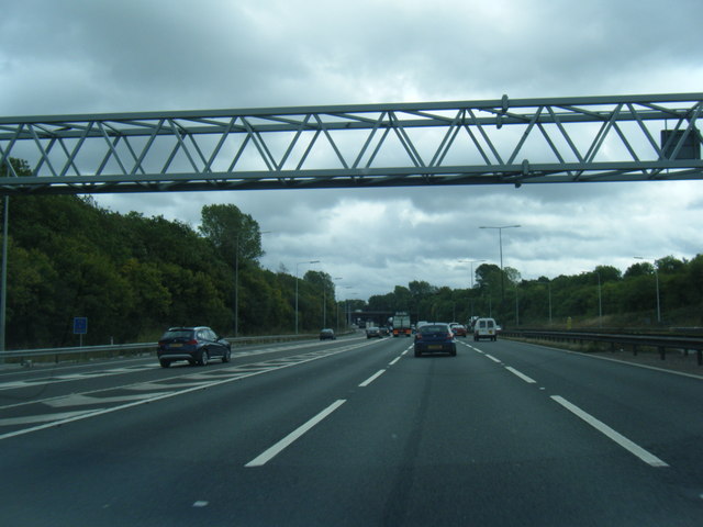
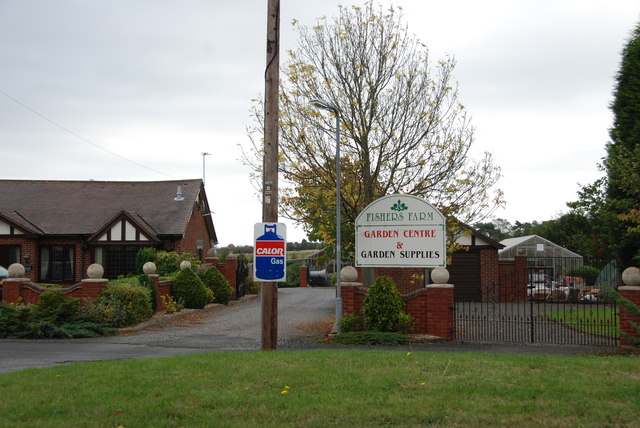
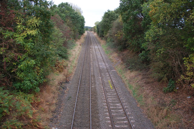
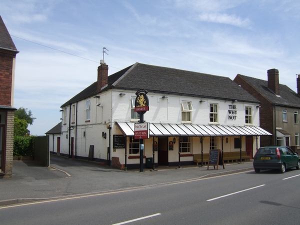
Horsefields Gorse Images

Images are sourced within 2km of 52.640173/-2.0384237 or Grid Reference SJ9704. Thanks to Geograph Open Source API. All images are credited.

The Why Not at Springhill
B4210 looking NW from The Why Not at Springhill
Main Entrance Hollybush Garden Centre
Entrance to Essington Industrial Estate off the B4156
Old Warstone Lane to junction with Hilton Lane
Behind the Scene at Hilton Park Services M6
The Yells Farm, Hilton Lane, Featherstone
Hilton Park Services The lorry park at the Hilton Park Service Area on the northbound M6.
Hilton Park Services
The lorry park at the Hilton Park Service Area on the northbound M6.
Hilton Park Services, M6 Northbound
Hilton Park Services
Northbound M6, Hilton Park Services
Fuel Forecourt at Hilton Park
Lorry Park at Hilton Park Services
M6 southbound at Hilton Park services
M6 southbound at Junction 10a
Fishers Farm Garden Centre
Pasture Alongside the Railway line, Great Wyrley This pasture is on the southern side of the Holly Lane Bridge, Great Wyrley. The railway line is in a cutting behind the trees on the right.
Pasture Alongside the Railway line, Great Wyrley
This pasture is on the southern side of the Holly Lane Bridge, Great Wyrley. The railway line is in a cutting behind the trees on the right.
Cannock to Walsall Line from Holly Lane Bridge, Great Wyrley This is looking south towards Bloxwich. It looks a lot different than the shots taken in 1985.
Cannock to Walsall Line from Holly Lane Bridge, Great Wyrley
This is looking south towards Bloxwich. It looks a lot different than the shots taken in 1985.
Show me another place!

Horsefields Gorse is located at Grid Ref: SJ9704 (Lat: 52.640173, Lng: -2.0384237)

Administrative County: Staffordshire

District: South Staffordshire

Police Authority: Staffordshire

What 3 Words

///follow.orbit.dance. Near Essington, Staffordshire

Related Wikis

Springhill, South Staffordshire

Springhill is a hamlet about a mile from Essington village, in the civil parish of Essington, in the South Staffordshire district, in the county of Staffordshire...

Wednesbury Town F.C.

Wednesbury Town F.C. was the name used for three football clubs based in Wednesbury, West Midlands, England. == Original club == The Wednesbury Football...

Hilton Park services

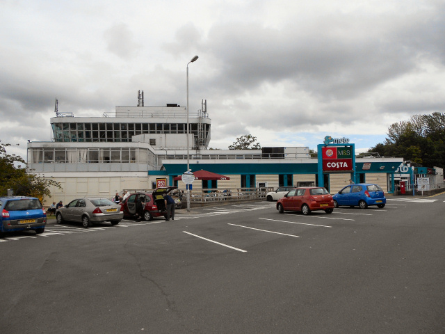
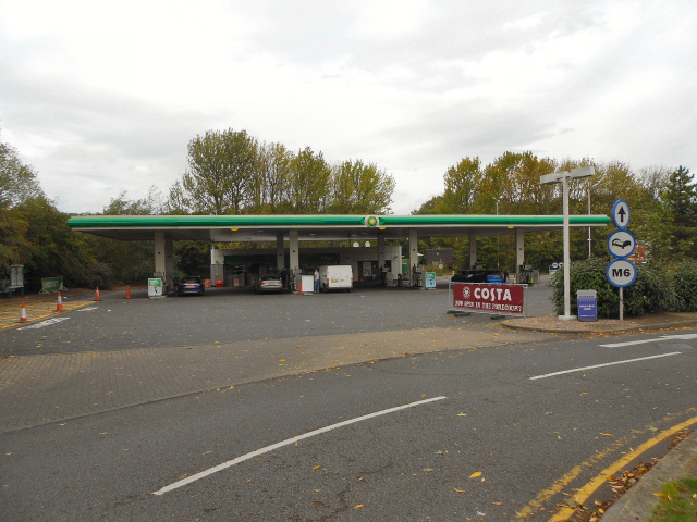
Hilton Park services is a motorway service station, between junctions 10a and 11 of the M6 motorway in Staffordshire, England. The nearest city is Wolverhampton...

Newtown, Staffordshire

Newtown is a small village in Essington parish, South Staffordshire, England. Newtown lies between the Landywood area of Great Wyrley (to the north) and...

Essington

Essington is a village and civil parish in South Staffordshire, England, located near the city of Wolverhampton and towns of Walsall, Bloxwich, Cannock...

Landywood

Landywood is a village in the South Staffordshire district of Staffordshire, England. Landywood is part of the South Staffordshire ward named "Great Wyrley...

Bloxwich North railway station

Bloxwich North railway station serves the town of Bloxwich in the Metropolitan Borough of Walsall, West Midlands, England. The station, and all trains...

Turnberry Estate

Turnberry Estate is a suburb of Bloxwich in the Metropolitan Borough of Walsall in the West Midlands, England. The estate is served by the X51 National...

Nearby Amenities

Located within 500m of 52.640173,-2.0384237
Bus Stop
Broad Lane
Bus: yes
Naptan AtcoCode: 3800C602901
Naptan Bearing: SW
Naptan CommonName: Broad Lane
Naptan Indicator: Adj
Naptan Landmark: Broad Lane
Naptan Street: Bursnips Road
Naptan Verified: no
Public Transport: platform
Source: naptan_import
Lat/Long: 52.6394403/-2.0432256
Bus Stop
Broad Lane
Bus: yes
Naptan AtcoCode: 3800C602902
Naptan Bearing: NE
Naptan BusStopType: CUS
Naptan CommonName: Broad Lane
Naptan Indicator: Opp
Naptan Landmark: Broad Lane
Naptan Street: Bursnips Road
Naptan Verified: no
Public Transport: platform
Source: naptan_import
Lat/Long: 52.6393952/-2.0436098
Bus Stop
Cricket Club
Bus: yes
Naptan AtcoCode: 3800C620001
Naptan Bearing: NW
Naptan CommonName: Cricket Club
Naptan Indicator: Adj
Naptan Landmark: o/s no's 86/88
Naptan Street: Broad Lane
Naptan Verified: no
Public Transport: platform
Source: naptan_import
Lat/Long: 52.6371587/-2.0379331
Bus Stop
Bursnips Road
Bus: yes
Naptan AtcoCode: 3800C620101
Naptan Bearing: NW
Naptan CommonName: Bursnips Road
Naptan Indicator: Adj
Naptan Landmark: Bursnips Road
Naptan Street: Broad Lane
Naptan Verified: no
Public Transport: platform
Source: naptan_import
Lat/Long: 52.6394497/-2.042073
Bursnips Road
Naptan AtcoCode: 3800C620102
Naptan Bearing: SE
Naptan BusStopType: CUS
Naptan CommonName: Bursnips Road
Naptan Indicator: Adj
Naptan Landmark: Bursnips Road
Naptan Street: Broad Lane
Naptan Verified: no
Source: naptan_import
Lat/Long: 52.6395307/-2.0419696
Barrier: stile
Lat/Long: 52.6361535/-2.0362557
Playground: basketswing
Lat/Long: 52.637103/-2.0391895
Bench
Lat/Long: 52.6372022/-2.0394324
Playground: seesaw
Lat/Long: 52.6371464/-2.0393458
Traffic Calming: hump
Lat/Long: 52.6376589/-2.0387493
The data included in this document is from www.openstreetmap.org. The data is made available under ODbL.

Have you been to Horsefields Gorse?

Leave your review of Horsefields Gorse below (or comments, questions and feedback).