Cleeve Copse
Wood, Forest in Wiltshire
England
Cleeve Copse
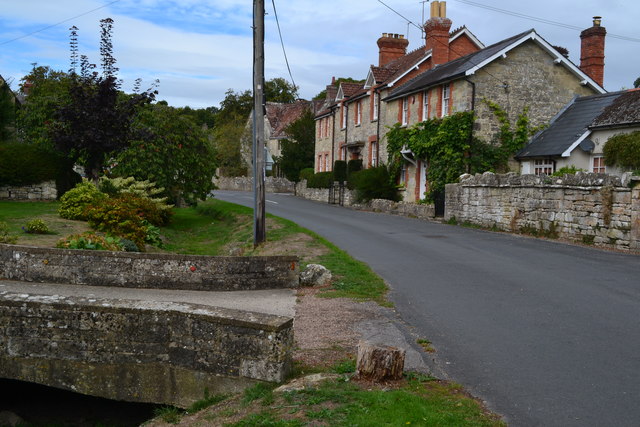
Cleeve Copse is a picturesque woodland located in the county of Wiltshire, England. Situated in the southwestern part of the county, it covers an area of approximately 150 acres. The copse is characterized by its dense growth of various trees and plants, creating a tranquil and serene environment for visitors.
The woodland is predominantly composed of native broadleaf trees such as oak, beech, and ash. These tall, majestic trees form a dense canopy, providing shade and shelter for a diverse range of wildlife. The forest floor is covered with an array of wildflowers and ferns, adding to the beauty and biodiversity of the area.
Cleeve Copse is a popular destination for nature enthusiasts, offering several walking trails that wind their way through the woodland. These trails provide visitors with the opportunity to explore the copse at their own pace, immersing themselves in its natural beauty. Along the trails, visitors may encounter various species of birds, including woodpeckers and owls, as well as small mammals such as foxes and squirrels.
The copse is also home to a number of protected species, such as the rare lesser horseshoe bat. These bats roost within the trees, taking advantage of the copse's undisturbed and secluded environment.
Overall, Cleeve Copse is a haven for nature lovers, offering a peaceful retreat from the hustle and bustle of everyday life. Its diverse ecosystem and beautiful scenery make it a must-visit destination for anyone seeking a connection with nature.
If you have any feedback on the listing, please let us know in the comments section below.
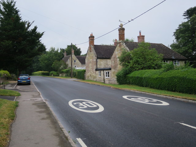
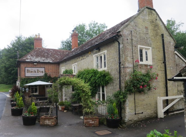
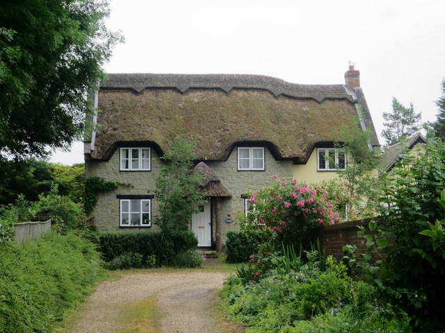
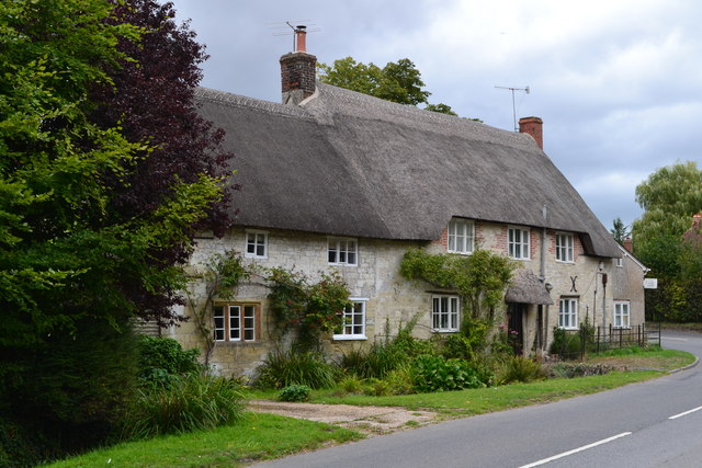
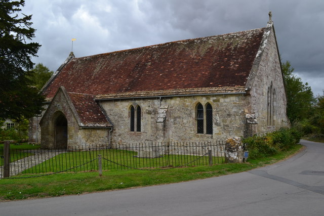
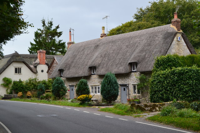
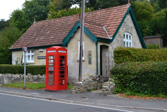
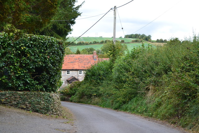
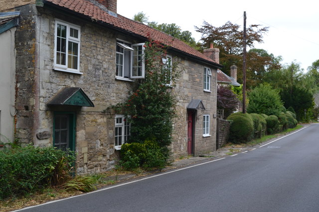
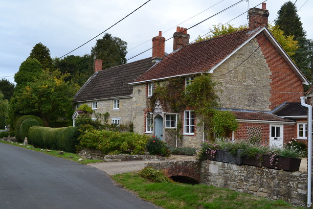
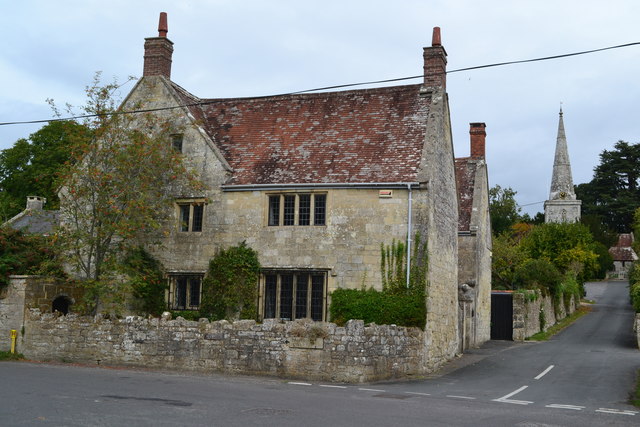
Cleeve Copse Images
Images are sourced within 2km of 51.086509/-2.037042 or Grid Reference ST9731. Thanks to Geograph Open Source API. All images are credited.

Cleeve Copse is located at Grid Ref: ST9731 (Lat: 51.086509, Lng: -2.037042)
Unitary Authority: Wiltshire
Police Authority: Wiltshire
What 3 Words
///passage.slim.guesswork. Near Dinton, Wiltshire
Nearby Locations
Related Wikis

Chilmark Quarries
Chilmark Quarries (grid reference ST974312) is a 9.65 hectare biological and geological Site of Special Scientific Interest (SSSI), in the ravine south...

Chilmark, Wiltshire
Chilmark is a Wiltshire village and civil parish of some 150 houses straddling the B3089 road, 11 miles (18 km) west of Salisbury, England. The parish...

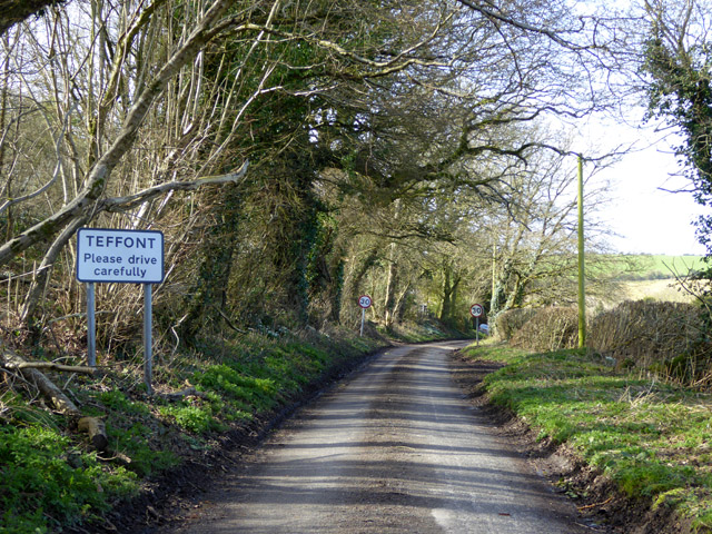
Teffont Magna
Teffont Magna, sometimes called Upper Teffont, is a small village and former civil parish, now in the parish of Teffont, in the Nadder valley in the south...

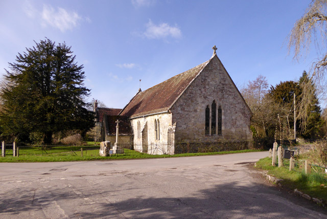
Teffont
Teffont is a civil parish in the south of Wiltshire, England, consisting of the villages of Teffont Magna and Teffont Evias. It is in the Nadder valley...

Teffont Evias
Teffont Evias is a small village and former civil parish, now in the parish of Teffont, on the Nadder valley in the south of Wiltshire, England. Edric...

Lady Down Quarry
Lady Down Quarry (grid reference ST961307) is a 2,300 square metre geological Site of Special Scientific Interest in the northeast of Tisbury parish in...

Lower Chicksgrove
Lower Chicksgrove is a hamlet on the north bank of the River Nadder in the south of the county of Wiltshire, England, within the Vale of Wardour. It is...

West Wiltshire Downs
The West Wiltshire Downs is an area of downland in the west of the county of Wiltshire, England. The West Wiltshire Downs are geologically the same unit...
Nearby Amenities
Located within 500m of 51.086509,-2.037042Have you been to Cleeve Copse?
Leave your review of Cleeve Copse below (or comments, questions and feedback).