Intakes Wood
Wood, Forest in Northumberland
England
Intakes Wood
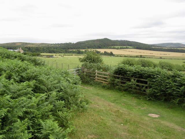
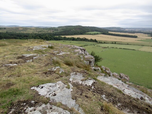
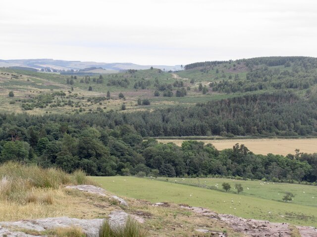
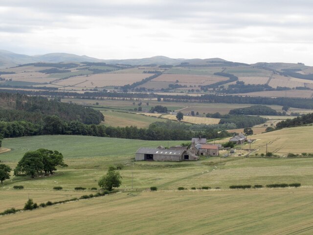
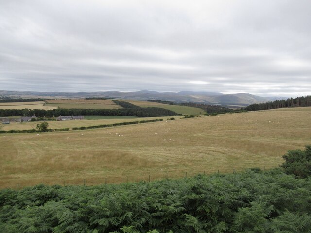
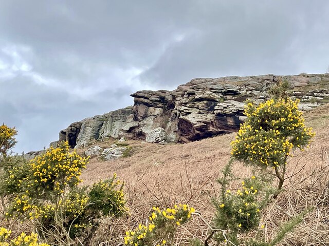
Intakes Wood is a picturesque woodland located in the county of Northumberland, England. Situated in the northern part of the country, the wood is part of the vast and diverse Northumberland National Park. With its stunning natural beauty and rich biodiversity, Intakes Wood attracts visitors from near and far.
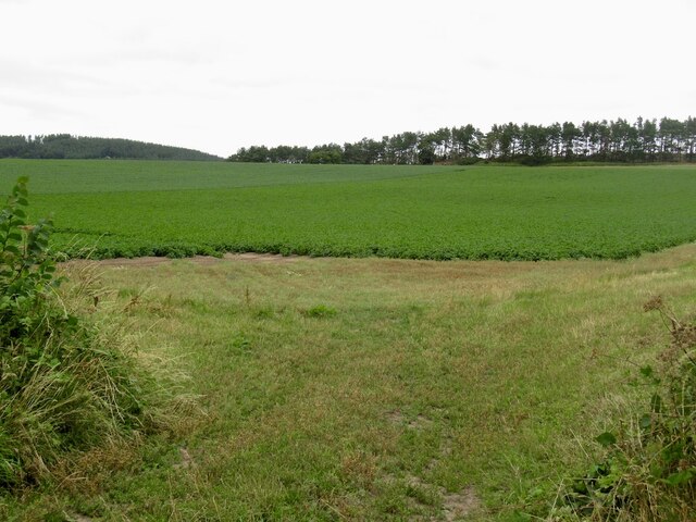
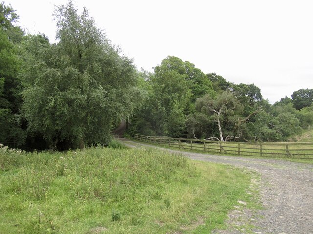
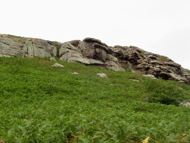
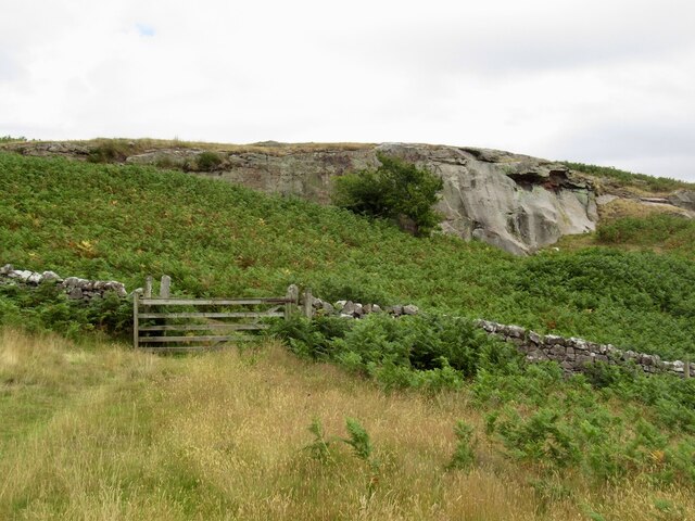
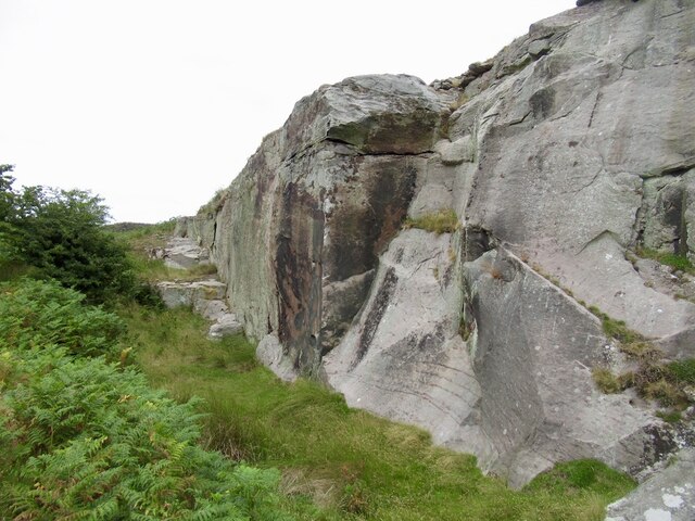
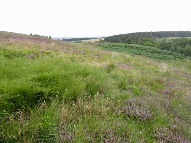
Covering an area of approximately 100 hectares, Intakes Wood is predominantly composed of mixed broadleaf trees, including oak, beech, and birch. These trees create a dense and vibrant canopy, providing a habitat for a wide range of wildlife species. The woodland floor is adorned with a carpet of wildflowers, contributing to the enchanting atmosphere of the area.
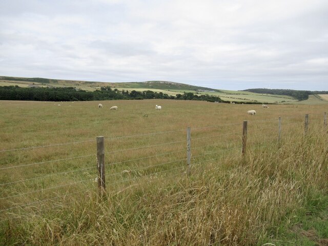
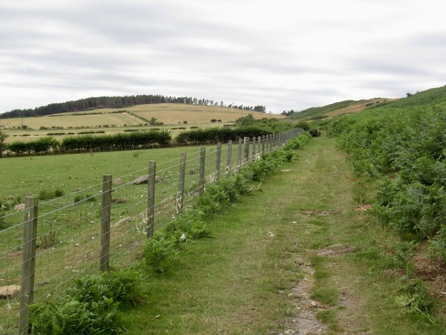
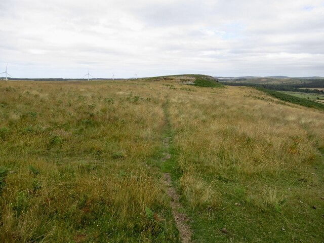
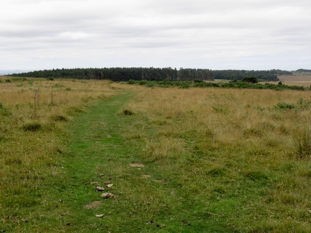
Intakes Wood offers a variety of recreational activities for visitors to enjoy. There are numerous walking trails and footpaths that wind through the wood, allowing visitors to explore its hidden treasures. The wood also provides an ideal setting for birdwatching, with species such as woodpeckers, owls, and various songbirds calling it home.
In addition to its natural beauty, Intakes Wood has a rich cultural and historical significance. The wood has been used for centuries as a source of timber and firewood, and remnants of old charcoal hearths can still be seen today. The wood also contains several archaeological sites, including ancient settlements and burial mounds, which offer a glimpse into the area's past.
Overall, Intakes Wood is a captivating destination for nature enthusiasts and history buffs alike. Its stunning landscapes, abundant wildlife, and historical significance make it a must-visit location for anyone exploring the Northumberland region.
If you have any feedback on the listing, please let us know in the comments section below.
Intakes Wood Images
Images are sourced within 2km of 55.615086/-2.0412033 or Grid Reference NT9735. Thanks to Geograph Open Source API. All images are credited.
Intakes Wood is located at Grid Ref: NT9735 (Lat: 55.615086, Lng: -2.0412033)
Unitary Authority: Northumberland
Police Authority: Northumbria
What 3 Words
///whizzed.proved.funds. Near Ford, Northumberland
Nearby Locations
Related Wikis

Nesbit, Northumberland
Nesbit is a hamlet and former civil parish, now in the parish of Doddington, Northumberland, England. It was once the site of a medieval village. In maps...
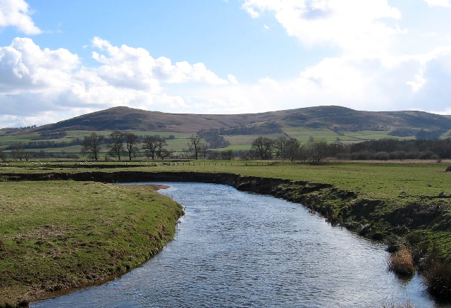
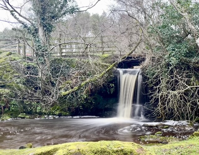
River Glen, Northumberland
The River Glen is a seven mile long tributary of the River Till flowing through Northumberland, England. The College Burn and Bowmont Water, both flowing...

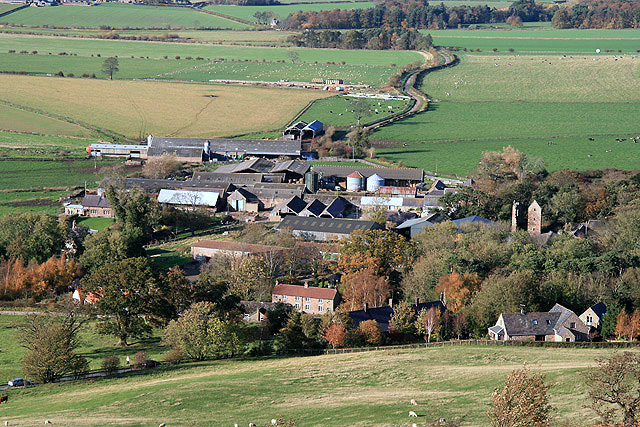
Ford, Northumberland
Ford is a small village and civil parish in Northumberland, England, about 13 miles (21 km) from Berwick-upon-Tweed. The parish also includes Etal. �...

Lady Waterford Hall
Lady Waterford Hall is the former village school of the estate village of Ford, Northumberland. It is now used as the village hall and is a Grade II* listed...

Ford Castle
Ford Castle is a Grade I listed building situated at a shallow crossing point on the River Till, Ford, Northumberland, England. The castle dates from about...
Doddington, Northumberland
The village and parish of Doddington are on the east side of the Milfield Plain, nearly 3 miles north of the town of Wooler, in the county of Northumberland...

RAF Milfield
Royal Air Force Milfield or more simply RAF Milfield is a former Royal Air Force station which operated during the Second World War, located near Milfield...

Maelmin Henge
Maelmin Henge is modern interpretation/reconstruction of a henge monument near the village of Milfield, Northumberland in the Till Valley.It was built...
Nearby Amenities
Located within 500m of 55.615086,-2.0412033Have you been to Intakes Wood?
Leave your review of Intakes Wood below (or comments, questions and feedback).