Springhill

Settlement in Renfrewshire

Scotland

Springhill

Small Burn near Neilston Near the junction of Springhill Rd. and Kirkton Rd.
Small Burn near Neilston Credit: wfmillar

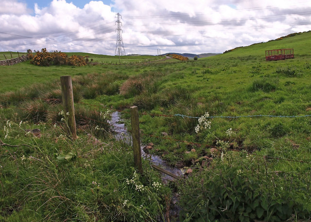
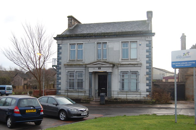
Springhill is a small village located in the council area of Renfrewshire, Scotland. Situated approximately 10 miles west of Glasgow, Springhill is part of the larger town of Barrhead and is nestled in the scenic valley of the River Levern. The village covers an area of around 2 square miles and is home to a population of about 2,500 residents.

The history of Springhill dates back to the late 18th century when it was primarily an agricultural community. Over the years, it has gradually evolved into a residential area with a mix of traditional cottages and modern houses. The village boasts a close-knit community with a strong sense of camaraderie amongst its residents.

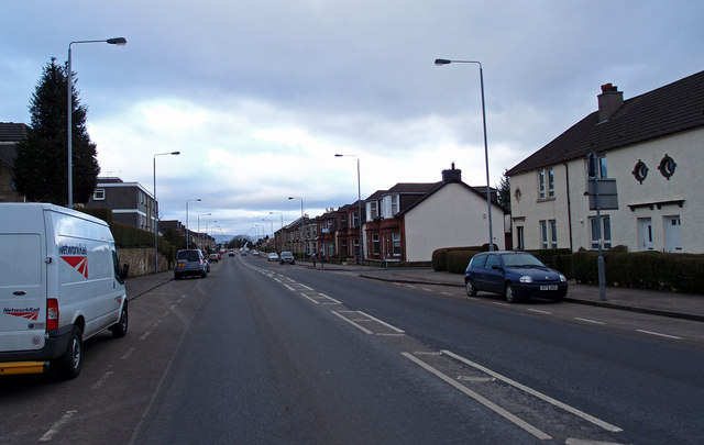
Despite its small size, Springhill offers a range of amenities to its inhabitants, including a local primary school, a community center, and a few shops and pubs. The village is also well-connected to the surrounding areas by a network of roads, making it easily accessible for commuters.

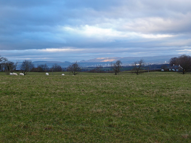
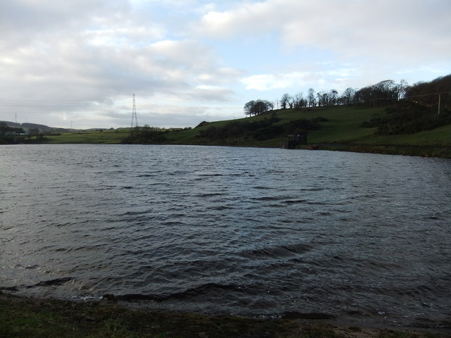
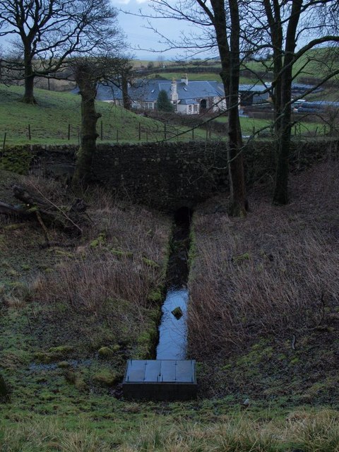
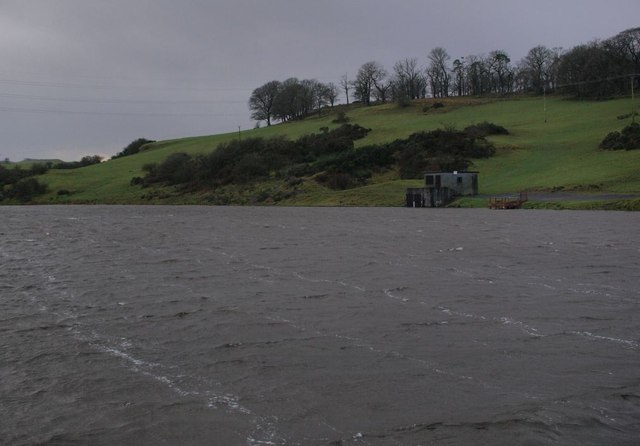
The natural beauty of Springhill is a major draw for both residents and visitors alike. Surrounded by lush green fields and rolling hills, the village offers picturesque views and ample opportunities for outdoor activities such as walking, cycling, and fishing. Additionally, the nearby Dams to Darnley Country Park provides a tranquil escape for nature enthusiasts.

In summary, Springhill is a charming village in Renfrewshire that offers a peaceful and idyllic lifestyle amidst beautiful natural surroundings. With its strong community spirit and convenient location, it continues to attract individuals seeking a quiet and close-knit community within easy reach of urban amenities.

If you have any feedback on the listing, please let us know in the comments section below.
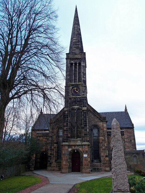
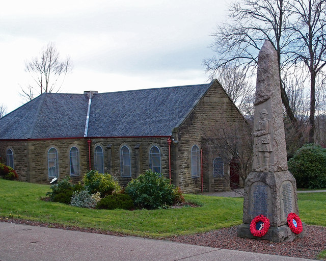
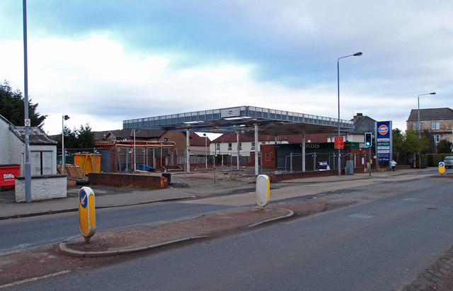
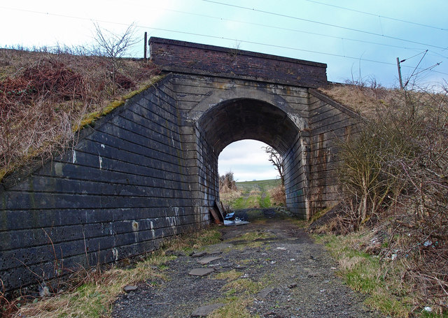
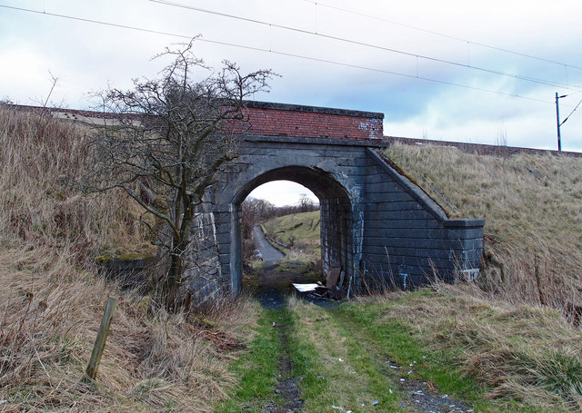
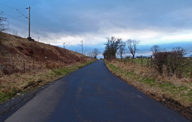
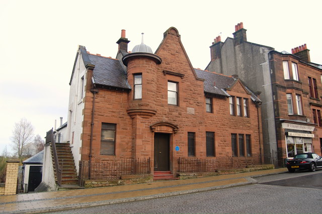
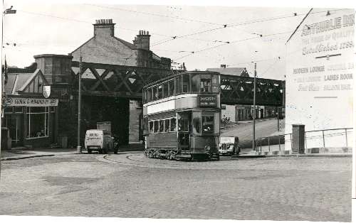
Springhill Images

Images are sourced within 2km of 55.792215/-4.3948033 or Grid Reference NS4958. Thanks to Geograph Open Source API. All images are credited.

Small Burn near Neilston Near the junction of Springhill Rd. and Kirkton Rd.
Small Burn near Neilston
Near the junction of Springhill Rd. and Kirkton Rd.
B771, Paisley Road Dunterlie area of Barrhead.
B771, Paisley Road
Dunterlie area of Barrhead.
United Services Club Building Paisley Road, Dunterlie
United Services Club Building
Paisley Road, Dunterlie
Masonic Lodge, Barrhead Sits on Cochrane Street. Upper floor looks to be residential.
Masonic Lodge, Barrhead
Sits on Cochrane Street. Upper floor looks to be residential.
Bourock Parish Church, Barrhead War Memorial stands in front of church.
Bourock Parish Church, Barrhead
War Memorial stands in front of church.
Bourock Parish Church Hall, Barrhead War Memorial stands in front of church.
Bourock Parish Church Hall, Barrhead
War Memorial stands in front of church.
Sheep Grazing near Neilston Sun on the distant Campsie Fells over Glasgow. Newhouse Cottages on the right.
Sheep Grazing near Neilston
Sun on the distant Campsie Fells over Glasgow. Newhouse Cottages on the right.
Disused Petrol Station B771, Paisley Road, Dunterlie area of Barrhead.
Disused Petrol Station
B771, Paisley Road, Dunterlie area of Barrhead.
Bourock Parish Church, Barrhead Church of Scotland <span class="nowrap"><a title="http://www.portaltothepast.co.uk/heritage/heritage_building/heritage_churches/heritage-churches-barrhead.htm" rel="nofollow ugc noopener" href="http://www.portaltothepast.co.uk/heritage/heritage_building/heritage_churches/heritage-churches-barrhead.htm">Link</a><img style="margin-left:2px;" alt="External link" title="External link - shift click to open in new window" src="https://s1.geograph.org.uk/img/external.png" width="10" height="10"/></span>
Bourock Parish Church, Barrhead
Church of Scotland LinkExternal link
Railway Bridge, Neilston Allowing field access under the Neilston/Rutherglen branch line.
Railway Bridge, Neilston
Allowing field access under the Neilston/Rutherglen branch line.
Railway Bridge, Neilston Allowing field access under the Neilston/Rutherglen branch line. Looking through to Springfield Road from farmland.
Railway Bridge, Neilston
Allowing field access under the Neilston/Rutherglen branch line. Looking through to Springfield Road from farmland.
Springfield Road, Minor Road Neilston Railway branch line to the left.
Springfield Road, Minor Road
Neilston Railway branch line to the left.
Masonic Lodge, Barrhead. Lodge Union & Crown No.307 & Lodge Randolph No.1434, Barrhead.
Masonic Lodge, Barrhead.
Lodge Union & Crown No.307 & Lodge Randolph No.1434, Barrhead.
Masonic Lodge, Neilston, Glasgow Lodge Thistle & Crown No.1167, Neilston, Glasgow
Masonic Lodge, Neilston, Glasgow
Lodge Thistle & Crown No.1167, Neilston, Glasgow
Glanderston Dam
Glanderston Dam
Entrance to Gateside
Outflow from Glanderston Dam This outflow channel is viewed from the embankment beside the reservoir.
Outflow from Glanderston Dam
This outflow channel is viewed from the embankment beside the reservoir.
Glanderston Dam The picture looks across the eastern corner of this small reservoir to the anglers' hut, on a grey and rather breezy afternoon.
Glanderston Dam
The picture looks across the eastern corner of this small reservoir to the anglers' hut, on a grey and rather breezy afternoon.
Show me another place!

Springhill is located at Grid Ref: NS4958 (Lat: 55.792215, Lng: -4.3948033)

Unitary Authority: East Renfrewshire

Police Authority: Greater Glasgow

What 3 Words

///rents.occupy.leap. Near Barrhead, East Renfrewshire

Related Wikis

Arthurlie

Arthurlie is an area of the town of Barrhead, East Renfrewshire, Scotland. == History of Arthurlie == The lands of Arthurlie were held in medieval times...

Barrhead South railway station

Barrhead South was once one of four railway stations in Barrhead, Renfrewshire (now East Renfrewshire), Scotland. A new station, Balgray railway station...

Johnny Blues Well

The Johnny Blue's Wells (Scots: Johnny Blue Waal) (Barrhead Dialect) is a spring well in the back roads district in East Renfrewshire, Scotland. Standing...

St Luke's High School

St Luke's High School is a school in the Auchenback area of Barrhead, East Renfrewshire, in the Greater Glasgow area of Scotland. The school focuses on...

Netherton Goods station

Netherton Goods station or Netherton Depot was a railway public freight facility located between Neilston railway station and Patterton railway station...

Barrhead (New) railway station

Barrhead (New) was one of four railway stations in Barrhead, Renfrewshire, Scotland. == History == The station was originally part of the Paisley and Barrhead...

Barrhead Burgh Hall

Barrhead Burgh Hall, also known as Barrhead Burgh Court Hall and Burgh Chambers and as the James McGuire Building, is a municipal complex in Main Street...

Barrhead Central railway station

Barrhead Central railway station was a railway station serving the town of Barrhead, Renfrewshire, Scotland. The station was on the Glasgow and South...

Nearby Amenities

Located within 500m of 55.792215,-4.3948033
Traffic Calming: cushion
Lat/Long: 55.7956133/-4.398319
Traffic Calming: cushion
Lat/Long: 55.7952171/-4.3974496
Traffic Calming: cushion
Lat/Long: 55.7954319/-4.3954229
Traffic Calming: cushion
Lat/Long: 55.7956863/-4.3947792
Post Box
Lat/Long: 55.7954575/-4.3979738
Traffic Calming: cushion
Lat/Long: 55.7951601/-4.3963261
Arthurlie
Place: suburb
Lat/Long: 55.7966043/-4.393874
Power: pole
Lat/Long: 55.7888744/-4.3996024
Power: pole
Lat/Long: 55.7886456/-4.3989701
Power: pole
Lat/Long: 55.788418/-4.3983503
Power: pole
Lat/Long: 55.7881868/-4.3977242
Power: pole
Lat/Long: 55.7879393/-4.3970335
The data included in this document is from www.openstreetmap.org. The data is made available under ODbL.

Have you been to Springhill?

Leave your review of Springhill below (or comments, questions and feedback).