Arthurlie

Settlement in Renfrewshire

Scotland

Arthurlie

Harelaw Reservoir Unlike nearby <a href="https://www.geograph.org.uk/photo/2308500">NS4760 : Glenburn Reservoir</a>, Harelaw Reservoir appears on the first-edition OS map, which was surveyed in 1858.

The water level has been lowered considerably in recent years. Relative to the OS map that was current when this picture was taken, the photographer's position would be in the water of the reservoir, although not very far from the edge. The changes being made here are part of a Local Biodiversity Action Plan; this body of water will be de-classified as a reservoir.

For other pictures, see <a href="https://www.geograph.org.uk/photo/369064">NS4859 : Paisley - Brownside Braes - Harelaw  Reservoir</a>, <a href="https://www.geograph.org.uk/photo/441217">NS4859 : Harelaw Reservoir</a>, and <a href="https://www.geograph.org.uk/photo/441118">NS4859 : Grazing on Fereneze Hills and Harelaw Reservoir</a>.
Harelaw Reservoir Credit: Lairich Rig

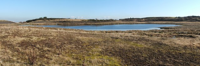
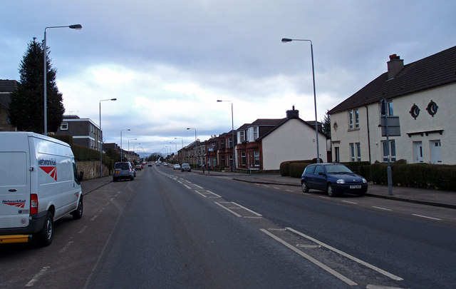
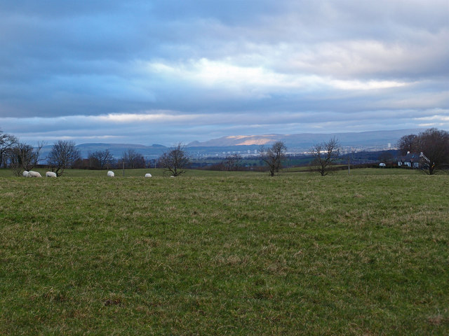
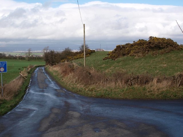
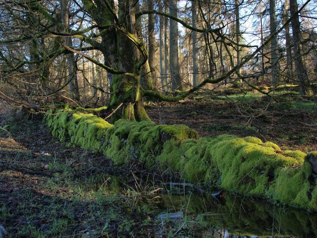
Arthurlie is a small village located in the county of Renfrewshire, Scotland. Situated approximately 10 miles southwest of Glasgow, it is part of the larger town of Barrhead. Arthurlie is surrounded by beautiful countryside, with rolling hills and picturesque landscapes.

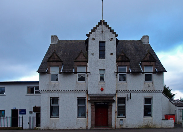
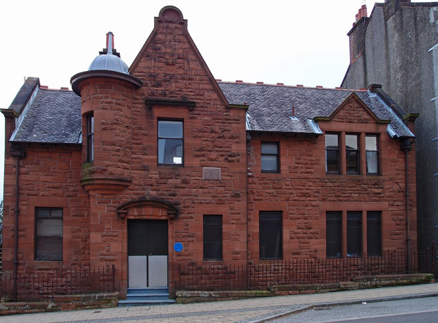
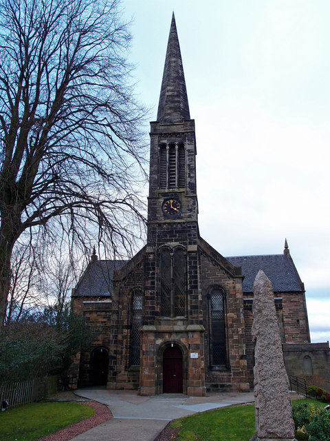
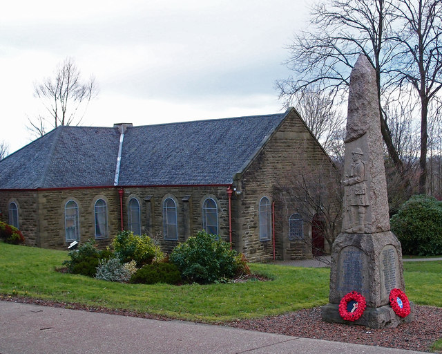
The village has a rich history that dates back several centuries. It was originally named after the Arthur family, who were prominent landowners in the area during the medieval period. Today, Arthurlie still retains some of its historical charm, with several old buildings and landmarks that are of architectural significance.

One of the most notable features of Arthurlie is its strong sense of community. The villagers take pride in their close-knit relationships and actively participate in various local activities and events. The village has a community center that serves as a hub for social gatherings, clubs, and recreational activities.

Arthurlie is also known for its sports culture, particularly football. The village has its own football club, Arthurlie F.C., which was established in 1874 and has a long-standing tradition in Scottish football. The club competes in local leagues and has a passionate following.

In terms of amenities, Arthurlie offers a range of services to its residents. These include a primary school, a post office, a convenience store, and a few local businesses. For further amenities and entertainment, residents can easily access the nearby town of Barrhead, which offers a wider range of shopping, dining, and leisure options.

Overall, Arthurlie is a charming village with a proud history and a strong sense of community. Its picturesque setting, coupled with its friendly atmosphere, makes it an attractive place for both residents and visitors alike.

If you have any feedback on the listing, please let us know in the comments section below.
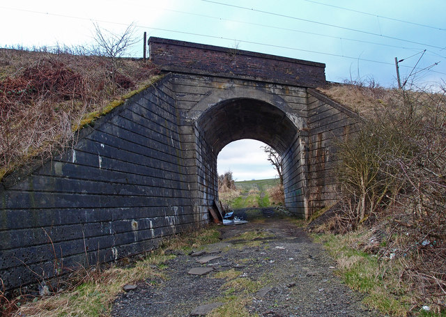
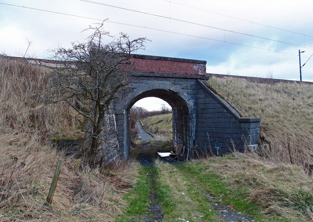
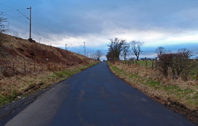
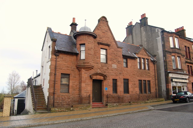
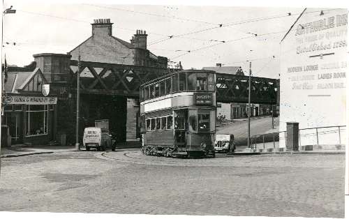
Arthurlie Images

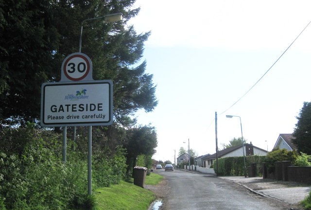
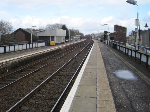
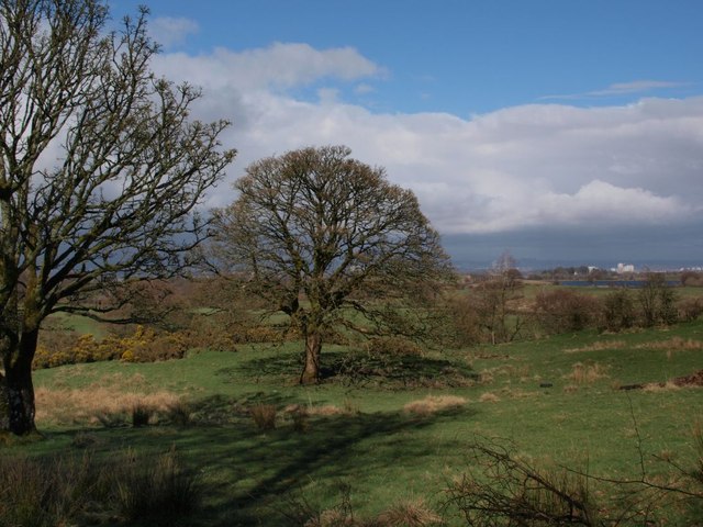
Images are sourced within 2km of 55.796707/-4.394401 or Grid Reference NS4958. Thanks to Geograph Open Source API. All images are credited.

Harelaw Reservoir Unlike nearby <a href="https://www.geograph.org.uk/photo/2308500">NS4760 : Glenburn Reservoir</a>, Harelaw Reservoir appears on the first-edition OS map, which was surveyed in 1858.

The water level has been lowered considerably in recent years. Relative to the OS map that was current when this picture was taken, the photographer's position would be in the water of the reservoir, although not very far from the edge. The changes being made here are part of a Local Biodiversity Action Plan; this body of water will be de-classified as a reservoir.

For other pictures, see <a href="https://www.geograph.org.uk/photo/369064">NS4859 : Paisley - Brownside Braes - Harelaw  Reservoir</a>, <a href="https://www.geograph.org.uk/photo/441217">NS4859 : Harelaw Reservoir</a>, and <a href="https://www.geograph.org.uk/photo/441118">NS4859 : Grazing on Fereneze Hills and Harelaw Reservoir</a>.
Harelaw Reservoir
Unlike nearby NS4760 : Glenburn Reservoir, Harelaw Reservoir appears on the first-edition OS map, which was surveyed in 1858. The water level has been lowered considerably in recent years. Relative to the OS map that was current when this picture was taken, the photographer's position would be in the water of the reservoir, although not very far from the edge. The changes being made here are part of a Local Biodiversity Action Plan; this body of water will be de-classified as a reservoir. For other pictures, see NS4859 : Paisley - Brownside Braes - Harelaw Reservoir, NS4859 : Harelaw Reservoir, and NS4859 : Grazing on Fereneze Hills and Harelaw Reservoir.
B771, Paisley Road Dunterlie area of Barrhead.
B771, Paisley Road
Dunterlie area of Barrhead.
United Services Club Building Paisley Road, Dunterlie
United Services Club Building
Paisley Road, Dunterlie
Masonic Lodge, Barrhead Sits on Cochrane Street. Upper floor looks to be residential.
Masonic Lodge, Barrhead
Sits on Cochrane Street. Upper floor looks to be residential.
Bourock Parish Church, Barrhead War Memorial stands in front of church.
Bourock Parish Church, Barrhead
War Memorial stands in front of church.
Bourock Parish Church Hall, Barrhead War Memorial stands in front of church.
Bourock Parish Church Hall, Barrhead
War Memorial stands in front of church.
Sheep Grazing near Neilston Sun on the distant Campsie Fells over Glasgow. Newhouse Cottages on the right.
Sheep Grazing near Neilston
Sun on the distant Campsie Fells over Glasgow. Newhouse Cottages on the right.
Disused Petrol Station B771, Paisley Road, Dunterlie area of Barrhead.
Disused Petrol Station
B771, Paisley Road, Dunterlie area of Barrhead.
Bourock Parish Church, Barrhead Church of Scotland <span class="nowrap"><a title="http://www.portaltothepast.co.uk/heritage/heritage_building/heritage_churches/heritage-churches-barrhead.htm" rel="nofollow ugc noopener" href="http://www.portaltothepast.co.uk/heritage/heritage_building/heritage_churches/heritage-churches-barrhead.htm">Link</a><img style="margin-left:2px;" alt="External link" title="External link - shift click to open in new window" src="https://s1.geograph.org.uk/img/external.png" width="10" height="10"/></span>
Bourock Parish Church, Barrhead
Church of Scotland LinkExternal link
Railway Bridge, Neilston Allowing field access under the Neilston/Rutherglen branch line.
Railway Bridge, Neilston
Allowing field access under the Neilston/Rutherglen branch line.
Railway Bridge, Neilston Allowing field access under the Neilston/Rutherglen branch line. Looking through to Springfield Road from farmland.
Railway Bridge, Neilston
Allowing field access under the Neilston/Rutherglen branch line. Looking through to Springfield Road from farmland.
Springfield Road, Minor Road Neilston Railway branch line to the left.
Springfield Road, Minor Road
Neilston Railway branch line to the left.
Masonic Lodge, Barrhead. Lodge Union & Crown No.307 & Lodge Randolph No.1434, Barrhead.
Masonic Lodge, Barrhead.
Lodge Union & Crown No.307 & Lodge Randolph No.1434, Barrhead.
Entrance to Gateside
Barrhead railway station, Renfrewshire Opened in 1848 by the Glasgow Barrhead & Neilston Direct Railway, on the line which runs from Glasgow to Kilmarnock.
View north east towards Nitshill and Glasgow. For a similar view 44 years previously, see <a href="https://www.geograph.org.uk/photo/1764550">NS4959 : Barrhead Station</a>.
Barrhead railway station, Renfrewshire
Opened in 1848 by the Glasgow Barrhead & Neilston Direct Railway, on the line which runs from Glasgow to Kilmarnock. View north east towards Nitshill and Glasgow. For a similar view 44 years previously, see NS4959 : Barrhead Station.
Field near Glanderston The field, and the trees in it, are on the south side of the single-track road that runs along the wee wood beside Glanderston Dam. Balgray Reservoir is glimpsed across the fields to the right.
Field near Glanderston
The field, and the trees in it, are on the south side of the single-track road that runs along the wee wood beside Glanderston Dam. Balgray Reservoir is glimpsed across the fields to the right.
Junction of Springhill Road and Glanderston Road The picture looks along Springhill Road as it heads downhill towards Barrhead. Glanderston Road is on the right.
Junction of Springhill Road and Glanderston Road
The picture looks along Springhill Road as it heads downhill towards Barrhead. Glanderston Road is on the right.
Moss-covered dyke beside Glanderston Road On the south side of Glanderston Road in the lee of a little rise, and bordering the wee wood, this dyke must see little sunshine. Presumably this is why it is so heavily covered in moss.
Moss-covered dyke beside Glanderston Road
On the south side of Glanderston Road in the lee of a little rise, and bordering the wee wood, this dyke must see little sunshine. Presumably this is why it is so heavily covered in moss.
Show me another place!

Arthurlie is located at Grid Ref: NS4958 (Lat: 55.796707, Lng: -4.394401)

Unitary Authority: East Renfrewshire

Police Authority: Greater Glasgow

What 3 Words

///native.saves.banana. Near Barrhead, East Renfrewshire

Related Wikis

Arthurlie

Arthurlie is an area of the town of Barrhead, East Renfrewshire, Scotland. == History of Arthurlie == The lands of Arthurlie were held in medieval times...

Barrhead (New) railway station

Barrhead (New) was one of four railway stations in Barrhead, Renfrewshire, Scotland. == History == The station was originally part of the Paisley and Barrhead...

Barrhead Burgh Hall

Barrhead Burgh Hall, also known as Barrhead Burgh Court Hall and Burgh Chambers and as the James McGuire Building, is a municipal complex in Main Street...

Barrhead South railway station

Barrhead South was once one of four railway stations in Barrhead, Renfrewshire (now East Renfrewshire), Scotland. A new station, Balgray railway station...

Barrhead Central railway station

Barrhead Central railway station was a railway station serving the town of Barrhead, Renfrewshire, Scotland. The station was on the Glasgow and South...

Barrhead

Barrhead (Scots: Baurheid, Scottish Gaelic: Ceann a' Bharra) is a town in East Renfrewshire, Scotland, thirteen kilometres (8 mi) southwest of Glasgow...

Dunterlie Park

Dunterlie Park is a football ground in Barrhead, Scotland. The third stadium to bear the name, it is the home ground of Arthurlie. == History == Arthurlie...

Barrhead railway station

Barrhead railway station is a railway station in the town of Barrhead, East Renfrewshire, Greater Glasgow, Scotland. The station is managed by ScotRail...

Nearby Amenities

Located within 500m of 55.796707,-4.394401
Traffic Signals
Lat/Long: 55.7997273/-4.3927312
Crossing
Crossing: traffic_signals
Crossing Ref: pelican
Lat/Long: 55.8003145/-4.3973412
Traffic Signals
Lat/Long: 55.7987545/-4.3978453
Traffic Signals
Lat/Long: 55.7986287/-4.3973723
Traffic Signals
Lat/Long: 55.7987154/-4.3978639
Traffic Signals
Lat/Long: 55.7996255/-4.3926748
Traffic Calming: cushion
Lat/Long: 55.7964371/-4.3985899
Traffic Calming: cushion
Lat/Long: 55.7956133/-4.398319
Traffic Calming: cushion
Lat/Long: 55.7952171/-4.3974496
Traffic Calming: cushion
Lat/Long: 55.7954319/-4.3954229
Traffic Calming: cushion
Lat/Long: 55.7956863/-4.3947792
Source: Bing
Lat/Long: 55.7967435/-4.3950125
Post Box
Lat/Long: 55.7954575/-4.3979738
Restaurant
Snook's
Lat/Long: 55.7983734/-4.3991745
Tesco
Addr Housenumber: 60
Addr Postcode: G78 1LR
Addr Street: Kelburn Street
Brand: Tesco
Brand Wikidata: Q487494
Brand Wikipedia: en:Tesco
Contact Website: https://www.tesco.com/store-locator/glasgow/kelburn-st
Fhrs Id: 82447
Shop: supermarket
Source Addr: FHRS Open Data
Lat/Long: 55.7976453/-4.4005068
Bus Stop
Bus: yes
Nat Ref: 62018
Public Transport: platform
Lat/Long: 55.8001036/-4.3975308
Bus Stop
Nat Ref: 612074
Lat/Long: 55.7976775/-4.3989022
Source: www.npemap.org.uk
Uk Postcode Centroid: G78
Lat/Long: 55.79823/-4.398675
Speed Camera
Direction: 60
Maxspeed: 30 mph
Lat/Long: 55.8001831/-4.3916058
Atm
Operator: Tesco
Lat/Long: 55.7974831/-4.4004003
McCabe Opticians
Contact Facebook: https://www.facebook.com/mccabeopticians/
Email: mccabeopticians@gmail.com
Phone: +44 141 880 6868
Shop: optician
Website: https://www.mccabeopticians.co.uk/
Lat/Long: 55.7977855/-4.4000214
Pub
Arthulie Inns
Addr Housenumber: 5
Addr Postcode: G78 1RE
Addr Street: Main Street
Fhrs Id: 82456
Source Addr: FHRS Open Data
Lat/Long: 55.7989953/-4.3975359
Fast Food
Chargha's
Addr Housenumber: 26
Addr Postcode: G78 1RE
Addr Street: Main Street
Cuisine: mixed
Fhrs Id: 82577
Source Addr: FHRS Open Data
Lat/Long: 55.7988965/-4.3966016
Fast Food
Capital
Addr Housenumber: 30
Addr Postcode: G78 1RE
Addr Street: Main Street
Cuisine: chinese
Fhrs Id: 82457
Source Addr: FHRS Open Data
Lat/Long: 55.7989693/-4.3964444
Scott's Stores
Shop: doityourself
Lat/Long: 55.7990733/-4.3959264
Fast Food
Canton House
Addr Housenumber: 42
Addr Postcode: G78 1RE
Addr Street: Main Street
Cuisine: chinese
Fhrs Id: 1226343
Source Addr: FHRS Open Data
Lat/Long: 55.7990161/-4.3962039
Fast Food
Kadir's
Cuisine: fish_and_chips
Lat/Long: 55.8004043/-4.3902007
Kwik Fit
Brand: Kwik Fit
Brand Wikidata: Q958053
Brand Wikipedia: en:Kwik Fit
Operator: Kwik-Fit
Shop: car_repair
Lat/Long: 55.7991626/-4.3985764
Pub
The Kelburn
Addr Housenumber: 19
Addr Postcode: G78 1QY
Addr Street: Cross Arthurlie Street
Fhrs Id: 82414
Source Addr: FHRS Open Data
Lat/Long: 55.7993164/-4.3980131
Addr Housenumber: 22
Addr Postcode: G78 1QY
Addr Street: Cross Arthurlie Street
Disused Amenity: bank
Old Name: TSB
Lat/Long: 55.7995057/-4.397966
Bank
RBS
Atm: yes
Brand: RBS
Brand Wikidata: Q160126
Brand Wikipedia: en:Royal Bank of Scotland
Official Name: Royal Bank of Scotland
Operator: Royal Bank of Scotland
Lat/Long: 55.7996305/-4.3979012
Cafe
Central Cafe
Addr Housenumber: 70
Addr Postcode: G78 1RP
Addr Street: Cross Arthurlie Street
Fhrs Id: 7859
Source Addr: FHRS Open Data
Lat/Long: 55.8008041/-4.3972905
Cafe
Alpinos
Addr Housenumber: 63-65
Addr Postcode: G78 1RR
Addr Street: Cross Arthurlie Street
Fhrs Id: 1173137
Source Addr: FHRS Open Data
Lat/Long: 55.8007924/-4.3976572
Fast Food
Ming's Cuisine
Cuisine: chinese
Lat/Long: 55.8007483/-4.3972352
Jafar's
Addr Housenumber: 32
Addr Postcode: G78 2JD
Addr Street: Arthurlie Avenue
Fhrs Id: 7665
Shop: convenience
Source Addr: FHRS Open Data
Lat/Long: 55.7949272/-4.3876198
Veterinary
Craigpark Veterinary Centre
Lat/Long: 55.7989077/-4.3923099
Place Of Worship
Barrhead Evangelical Church
Denomination: evangelical
Religion: christian
Lat/Long: 55.7999375/-4.3973615
Fast Food
L'Arco
Addr Housenumber: 47
Addr Postcode: G78 1QU
Addr Street: Cross Arthurlie Street
Cuisine: fish_and_chips
Fhrs Id: 1062829
Source Addr: FHRS Open Data
Lat/Long: 55.8000395/-4.3976834
Restaurant
Red Fort
Addr Housenumber: 46
Addr Postcode: G78 1QU
Addr Street: Cross Arthurlie Street
Cuisine: indian
Fhrs Id: 7849
Source Addr: FHRS Open Data
Lat/Long: 55.8002105/-4.3972562
Traffic Calming: cushion
Lat/Long: 55.796414/-4.4020223
Traffic Calming: cushion
Lat/Long: 55.7975694/-4.3972584
Traffic Calming: cushion
Lat/Long: 55.7980011/-4.3958268
Traffic Calming: cushion
Lat/Long: 55.7970686/-4.3979382
Traffic Calming: cushion
Lat/Long: 55.7951601/-4.3963261
Traffic Calming: cushion
Lat/Long: 55.7980396/-4.3964723
Waste Basket
Lat/Long: 55.7994126/-4.3929166
Historic: monument
Lat/Long: 55.8004198/-4.3966472
Arthurlie
Place: suburb
Lat/Long: 55.7966043/-4.393874
Crossing
Crossing: traffic_signals
Tactile Paving: yes
Lat/Long: 55.7993687/-4.3954963
Crossing
Crossing: traffic_signals
Tactile Paving: yes
Lat/Long: 55.7992988/-4.3953113
Barrhead (New)
Historic Railway: station
Railway: site
Wikidata: Q4863463
Wikipedia: en:Barrhead (New) railway station
Lat/Long: 55.7998172/-4.3969758
Bank
Bank of Scotland
Brand: Bank of Scotland
Brand Wikidata: Q627381
Lat/Long: 55.7998925/-4.3914655
The data included in this document is from www.openstreetmap.org. The data is made available under ODbL.

Have you been to Arthurlie?

Leave your review of Arthurlie below (or comments, questions and feedback).