Arthur's Hill
Settlement in Northumberland
England
Arthur's Hill

Arthur's Hill is a vibrant and historic neighborhood located in the city of Newcastle upon Tyne, Northumberland, England. Situated to the west of the city center, Arthur's Hill is known for its diverse community and rich cultural heritage.
The area was developed during the 19th century and takes its name from the prominent Victorian street, Arthur's Hill, which runs through the heart of the neighborhood. The architecture of the area reflects its industrial past, with rows of terraced houses and red-brick buildings dominating the streetscape.
Arthur's Hill is home to a diverse population, including residents of various ethnic backgrounds. This diversity is reflected in the range of shops, restaurants, and cultural institutions that can be found in the area. The neighborhood has a strong sense of community, with regular events and activities organized by local groups.
One of the standout features of Arthur's Hill is the presence of green spaces. The nearby Leazes Park offers a tranquil escape from the urban environment, with its expansive lawns, picturesque lake, and beautiful flowerbeds. Additionally, the area benefits from its close proximity to the iconic Newcastle Town Moor, one of the largest urban parks in the United Kingdom.
Transportation in Arthur's Hill is convenient, with several bus routes connecting the neighborhood to the city center and surrounding areas. The nearby Newcastle Central Station provides easy access to other parts of the country, making it a desirable location for commuters.
Overall, Arthur's Hill is a culturally diverse and historically significant neighborhood that offers a mix of urban living and green spaces, making it an attractive place to live for a wide range of residents.
If you have any feedback on the listing, please let us know in the comments section below.
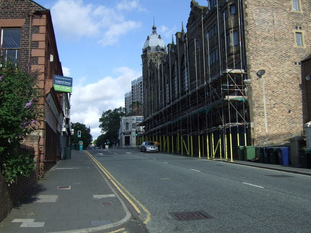
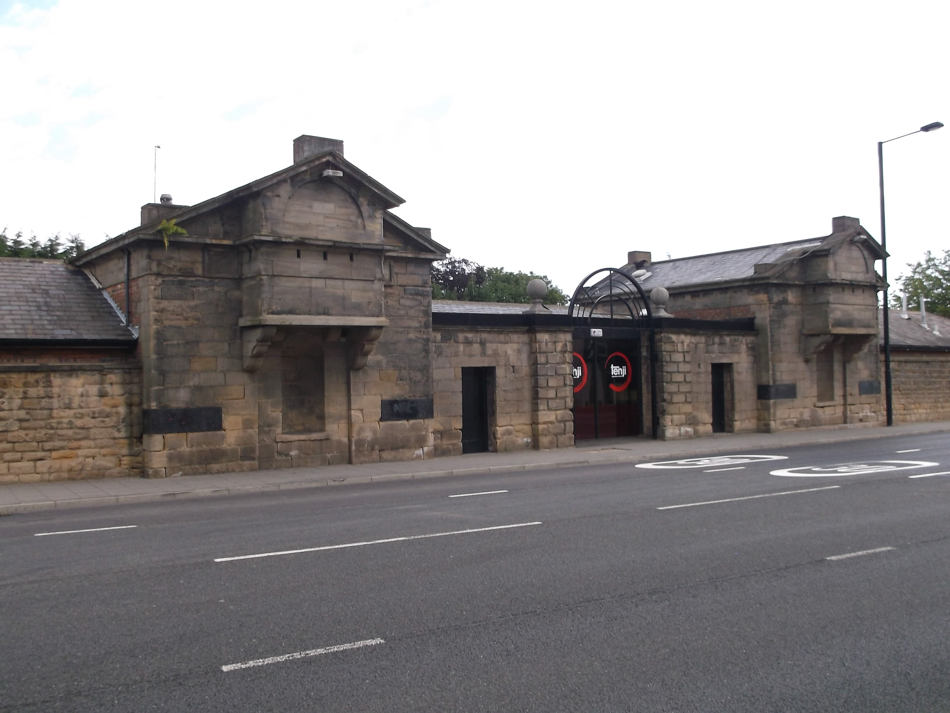
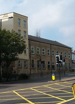
Arthur's Hill Images
Images are sourced within 2km of 54.973873/-1.636744 or Grid Reference NZ2364. Thanks to Geograph Open Source API. All images are credited.


Arthur's Hill is located at Grid Ref: NZ2364 (Lat: 54.973873, Lng: -1.636744)
Unitary Authority: Newcastle upon Tyne
Police Authority: Northumbria
What 3 Words
///issue.rails.shed. Near Newcastle upon Tyne, Tyne & Wear
Nearby Locations
Related Wikis

St Matthew's Church, Newcastle upon Tyne
The Church of Saint Matthew is a Church of England Grade II* listed church located in the High Elswick area of Newcastle upon Tyne, within the Georgian...
Milecastle 5
Milecastle 5 (Quarry House) was the first milecastle west of Pons Aelius fort of the Roman Hadrian's Wall. No remains exist of the milecastle, though...
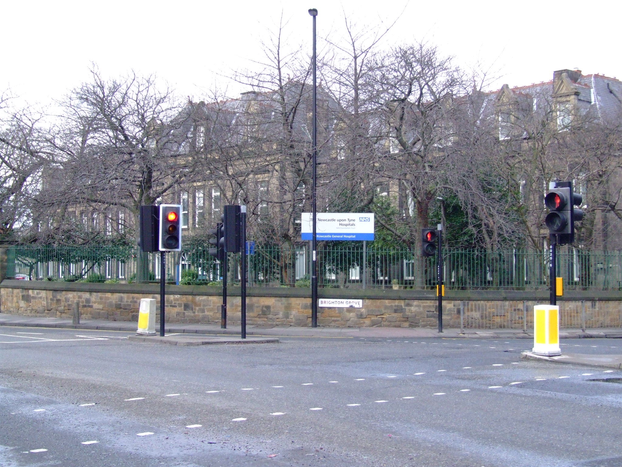
Newcastle General Hospital
Newcastle General Hospital (NGH) was for many years the main hospital for the city of Newcastle upon Tyne, England. As part of Newcastle upon Tyne Hospitals...
Fenham Barracks
Fenham Barracks is a military installation in Barrack Road, Newcastle upon Tyne, Tyne and Wear, England. == History == The site was acquired by the War...
Barrack Road drill hall, Newcastle upon Tyne
The Barrack Road drill hall is a former military installation in Newcastle upon Tyne == History == The drill hall was designed as the headquarters of the...
Paradise, Tyne and Wear
Paradise is an area of Newcastle upon Tyne, Tyne and Wear, England. It is centred on the area at the bottom of Atkinson Road, where it used to meet Scotswood...
Newcastle Sixth Form College
Newcastle Sixth Form College is a Sixth-form college in Newcastle upon Tyne, England. Opened in March 2014, the college forms part of the larger organisation...
BBC Radio Newcastle
BBC Radio Newcastle is the BBC's local radio station serving Newcastle upon Tyne, the neighbouring metropolitan boroughs, Northumberland and north east...
Nearby Amenities
Located within 500m of 54.973873,-1.636744Have you been to Arthur's Hill?
Leave your review of Arthur's Hill below (or comments, questions and feedback).