Colinbar Glen

Valley in Renfrewshire

Scotland

Colinbar Glen

Harelaw Reservoir Unlike nearby <a href="https://www.geograph.org.uk/photo/2308500">NS4760 : Glenburn Reservoir</a>, Harelaw Reservoir appears on the first-edition OS map, which was surveyed in 1858.

The water level has been lowered considerably in recent years. Relative to the OS map that was current when this picture was taken, the photographer's position would be in the water of the reservoir, although not very far from the edge. The changes being made here are part of a Local Biodiversity Action Plan; this body of water will be de-classified as a reservoir.

For other pictures, see <a href="https://www.geograph.org.uk/photo/369064">NS4859 : Paisley - Brownside Braes - Harelaw  Reservoir</a>, <a href="https://www.geograph.org.uk/photo/441217">NS4859 : Harelaw Reservoir</a>, and <a href="https://www.geograph.org.uk/photo/441118">NS4859 : Grazing on Fereneze Hills and Harelaw Reservoir</a>.
Harelaw Reservoir Credit: Lairich Rig

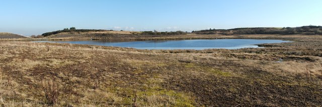
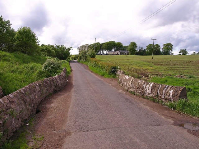
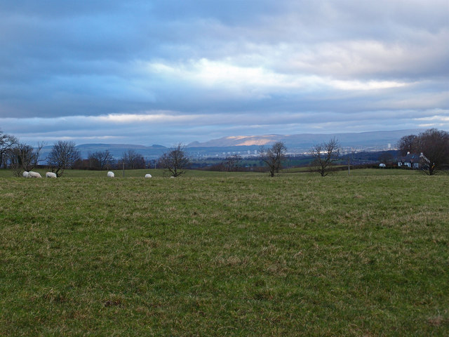
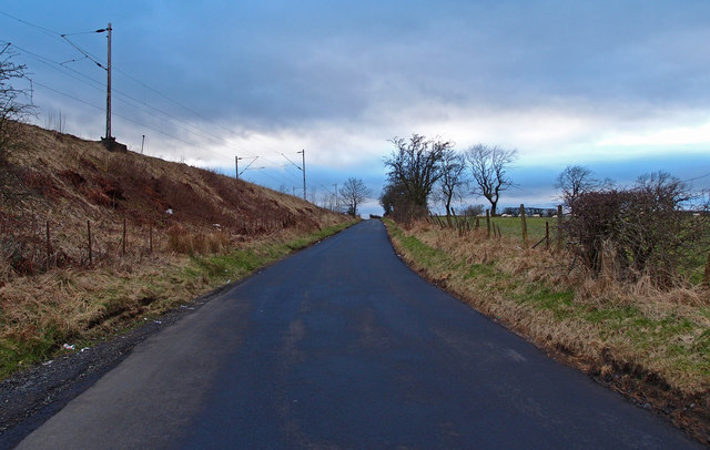
Colinbar Glen is a picturesque valley located in Renfrewshire, Scotland. Nestled amidst rolling hills and lush greenery, this hidden gem offers a tranquil escape from the bustling city life. The glen is named after the Colinbar Burn, a small stream that meanders through the valley, adding to its charm.

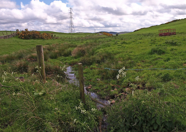
The natural beauty of Colinbar Glen is a sight to behold. The valley is blanketed with a diverse range of flora and fauna, making it a haven for nature enthusiasts and wildlife lovers. Visitors can expect to encounter various species of birds, butterflies, and even deer as they explore the glen.

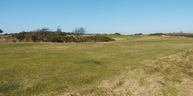
A network of well-maintained walking trails crisscrosses the valley, allowing visitors to venture deep into its heart. The trails offer breathtaking views of the surrounding landscape, with stunning vistas of the rolling hills and distant mountains. There are also several picnic spots along the way, providing the perfect opportunity to take in the serenity of the glen while enjoying a packed lunch.

Colinbar Glen is not just a place of natural beauty but also holds historical significance. The glen is home to the ruins of an ancient castle, which dates back to the 16th century. The castle ruins add an air of mystery and intrigue to the already enchanting surroundings.

Whether you are seeking a peaceful retreat in nature or wish to immerse yourself in the rich history of the area, Colinbar Glen promises an unforgettable experience. With its idyllic setting and abundant natural wonders, it is no wonder that this valley is a popular destination for both locals and tourists alike.

If you have any feedback on the listing, please let us know in the comments section below.

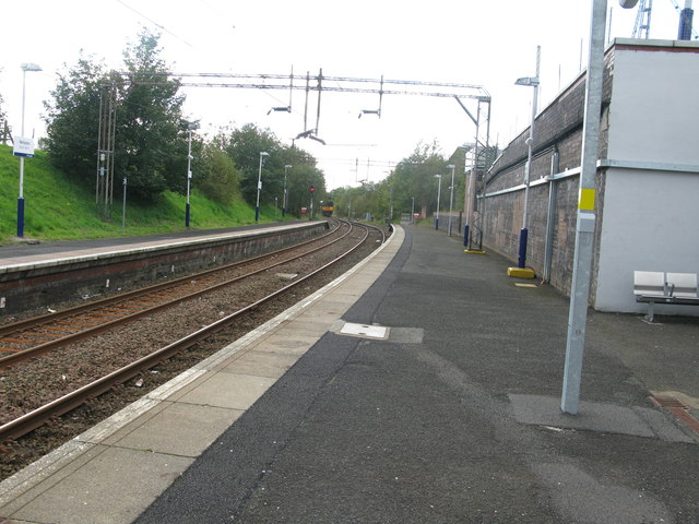
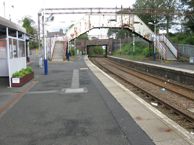
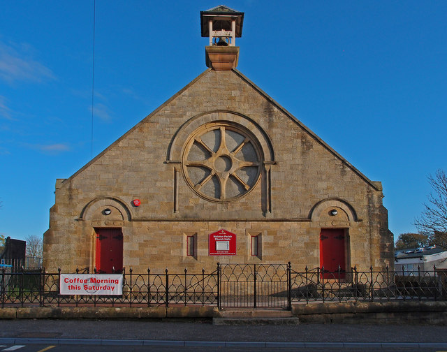
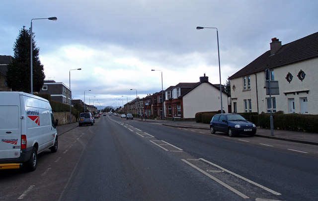
Colinbar Glen Images

Images are sourced within 2km of 55.791953/-4.4045185 or Grid Reference NS4958. Thanks to Geograph Open Source API. All images are credited.

Harelaw Reservoir Unlike nearby <a href="https://www.geograph.org.uk/photo/2308500">NS4760 : Glenburn Reservoir</a>, Harelaw Reservoir appears on the first-edition OS map, which was surveyed in 1858.

The water level has been lowered considerably in recent years. Relative to the OS map that was current when this picture was taken, the photographer's position would be in the water of the reservoir, although not very far from the edge. The changes being made here are part of a Local Biodiversity Action Plan; this body of water will be de-classified as a reservoir.

For other pictures, see <a href="https://www.geograph.org.uk/photo/369064">NS4859 : Paisley - Brownside Braes - Harelaw  Reservoir</a>, <a href="https://www.geograph.org.uk/photo/441217">NS4859 : Harelaw Reservoir</a>, and <a href="https://www.geograph.org.uk/photo/441118">NS4859 : Grazing on Fereneze Hills and Harelaw Reservoir</a>.
Harelaw Reservoir
Unlike nearby NS4760 : Glenburn Reservoir, Harelaw Reservoir appears on the first-edition OS map, which was surveyed in 1858. The water level has been lowered considerably in recent years. Relative to the OS map that was current when this picture was taken, the photographer's position would be in the water of the reservoir, although not very far from the edge. The changes being made here are part of a Local Biodiversity Action Plan; this body of water will be de-classified as a reservoir. For other pictures, see NS4859 : Paisley - Brownside Braes - Harelaw Reservoir, NS4859 : Harelaw Reservoir, and NS4859 : Grazing on Fereneze Hills and Harelaw Reservoir.
Fereneze Golf Course This is part of the course of Fereneze Golf Club. The picture was taken from near what used to be the edge of <a href="https://www.geograph.org.uk/photo/2309150">NS4859 : Harelaw Reservoir</a>.

See also <a href="https://www.geograph.org.uk/photo/369064">NS4859 : Paisley - Brownside Braes - Harelaw  Reservoir</a>.
Fereneze Golf Course
This is part of the course of Fereneze Golf Club. The picture was taken from near what used to be the edge of NS4859 : Harelaw Reservoir. See also NS4859 : Paisley - Brownside Braes - Harelaw Reservoir.
Small Burn near Neilston Near the junction of Springhill Rd. and Kirkton Rd.
Small Burn near Neilston
Near the junction of Springhill Rd. and Kirkton Rd.
Kirkton Bridge, Neilston Kirkton on the hill.
Kirkton Bridge, Neilston
Kirkton on the hill.
Neilston railway station, looking WSW View from platform 1 at Neilston railway station, looking roughly WSW.
Neilston railway station, looking WSW
View from platform 1 at Neilston railway station, looking roughly WSW.
Neilston railway station, looking ENE View from platform 1 at Neilston railway station, looking roughly ENE towards Glasgow Central.
Neilston railway station, looking ENE
View from platform 1 at Neilston railway station, looking roughly ENE towards Glasgow Central.
Neilston Parish Church Halls On Kingston Road, Neilston.
Neilston Parish Church Halls
On Kingston Road, Neilston.
B771, Paisley Road Dunterlie area of Barrhead.
B771, Paisley Road
Dunterlie area of Barrhead.
United Services Club Building Paisley Road, Dunterlie
United Services Club Building
Paisley Road, Dunterlie
Masonic Lodge, Barrhead Sits on Cochrane Street. Upper floor looks to be residential.
Masonic Lodge, Barrhead
Sits on Cochrane Street. Upper floor looks to be residential.
Bourock Parish Church, Barrhead War Memorial stands in front of church.
Bourock Parish Church, Barrhead
War Memorial stands in front of church.
Bourock Parish Church Hall, Barrhead War Memorial stands in front of church.
Bourock Parish Church Hall, Barrhead
War Memorial stands in front of church.
Sheep Grazing near Neilston Sun on the distant Campsie Fells over Glasgow. Newhouse Cottages on the right.
Sheep Grazing near Neilston
Sun on the distant Campsie Fells over Glasgow. Newhouse Cottages on the right.
Disused Petrol Station B771, Paisley Road, Dunterlie area of Barrhead.
Disused Petrol Station
B771, Paisley Road, Dunterlie area of Barrhead.
Bourock Parish Church, Barrhead Church of Scotland <span class="nowrap"><a title="http://www.portaltothepast.co.uk/heritage/heritage_building/heritage_churches/heritage-churches-barrhead.htm" rel="nofollow ugc noopener" href="http://www.portaltothepast.co.uk/heritage/heritage_building/heritage_churches/heritage-churches-barrhead.htm">Link</a><img style="margin-left:2px;" alt="External link" title="External link - shift click to open in new window" src="https://s1.geograph.org.uk/img/external.png" width="10" height="10"/></span>
Bourock Parish Church, Barrhead
Church of Scotland LinkExternal link
Railway Bridge, Neilston Allowing field access under the Neilston/Rutherglen branch line.
Railway Bridge, Neilston
Allowing field access under the Neilston/Rutherglen branch line.
Railway Bridge, Neilston Allowing field access under the Neilston/Rutherglen branch line. Looking through to Springfield Road from farmland.
Railway Bridge, Neilston
Allowing field access under the Neilston/Rutherglen branch line. Looking through to Springfield Road from farmland.
Springfield Road, Minor Road Neilston Railway branch line to the left.
Springfield Road, Minor Road
Neilston Railway branch line to the left.
Show me another place!

Colinbar Glen is located at Grid Ref: NS4958 (Lat: 55.791953, Lng: -4.4045185)

Unitary Authority: East Renfrewshire

Police Authority: Greater Glasgow

What 3 Words

///camera.apply.nation. Near Barrhead, East Renfrewshire

Related Wikis

Barrhead South railway station

Barrhead South was once one of four railway stations in Barrhead, Renfrewshire (now East Renfrewshire), Scotland. A new station, Balgray railway station...

Arthurlie

Arthurlie is an area of the town of Barrhead, East Renfrewshire, Scotland. == History of Arthurlie == The lands of Arthurlie were held in medieval times...

Johnny Blues Well

The Johnny Blue's Wells (Scots: Johnny Blue Waal) (Barrhead Dialect) is a spring well in the back roads district in East Renfrewshire, Scotland. Standing...

Netherton Goods station

Netherton Goods station or Netherton Depot was a railway public freight facility located between Neilston railway station and Patterton railway station...

Barrhead (New) railway station

Barrhead (New) was one of four railway stations in Barrhead, Renfrewshire, Scotland. == History == The station was originally part of the Paisley and Barrhead...

Barrhead Central railway station

Barrhead Central railway station was a railway station serving the town of Barrhead, Renfrewshire, Scotland. The station was on the Glasgow and South...

St Luke's High School

St Luke's High School is a school in the Auchenback area of Barrhead, East Renfrewshire, in the Greater Glasgow area of Scotland. The school focuses on...
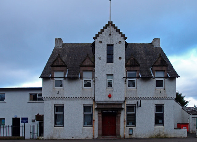
Barrhead Burgh Hall

Barrhead Burgh Hall, also known as Barrhead Burgh Court Hall and Burgh Chambers and as the James McGuire Building, is a municipal complex in Main Street...

Nearby Amenities

Located within 500m of 55.791953,-4.4045185
Post Box
Postal Code: G78 1LW
Ref: G78 829
Lat/Long: 55.795505/-4.4050804
Bus Stop
Naptan AtcoCode: 612077
Naptan NaptanCode: 37323289
Lat/Long: 55.7948912/-4.4036119
Bus Stop
Naptan AtcoCode: 612081
Naptan NaptanCode: 37323787
Nat Ref: 612082
Lat/Long: 55.7912114/-4.4116793
Traffic Signals
Lat/Long: 55.7952947/-4.4034916
Levernside/West Arthurlie
Place: suburb
Lat/Long: 55.795965/-4.4056055
Crossing
Lat/Long: 55.7915414/-4.410756
Crossing
Crossing: traffic_signals
Tactile Paving: yes
Lat/Long: 55.7951443/-4.4035368
Crossing
Crossing: traffic_signals
Tactile Paving: yes
Lat/Long: 55.7952056/-4.403873
Crossing
Crossing: traffic_signals
Tactile Paving: yes
Lat/Long: 55.7952174/-4.4031761
Crossing
Crossing: traffic_signals
Crossing Island: no
Tactile Paving: yes
Lat/Long: 55.7954422/-4.4031899
Barrhead South
Abandoned Railway: station
Railway: site
Wikidata: Q4863468
Wikipedia: en:Barrhead South railway station
Lat/Long: 55.7949167/-4.4019264
Power: pole
Lat/Long: 55.7888744/-4.3996024
Entrance: main
Lat/Long: 55.796236/-4.4051395
Entrance: secondary
Lat/Long: 55.7958781/-4.4054905
The data included in this document is from www.openstreetmap.org. The data is made available under ODbL.

Have you been to Colinbar Glen?

Leave your review of Colinbar Glen below (or comments, questions and feedback).