Blundies

Settlement in Staffordshire South Staffordshire

England

Blundies

Enville windmill The tower mill on the edge of Enville Common built in 1800-1801 remained in use until 1870. The mill had four sails, boat cap and fantail. Little remains inside the shell except for sections of the turning ring for the boat cap. 

See <span class="nowrap"><a title="http://www.search.staffspasttrack.org.uk/engine/resource/default.asp?resource=11298" rel="nofollow ugc noopener" href="http://www.search.staffspasttrack.org.uk/engine/resource/default.asp?resource=11298">Link</a><img style="margin-left:2px;" alt="External link" title="External link - shift click to open in new window" src="https://s1.geograph.org.uk/img/external.png" width="10" height="10"/></span>
Enville windmill Credit: John M

Blundies is a quaint village located in the county of Staffordshire, England. Situated in the heart of the countryside, it offers a peaceful and idyllic setting for both residents and visitors alike. With a population of around 500, Blundies exudes a close-knit community feel, fostering a warm and welcoming atmosphere.

The village is known for its picturesque landscapes, featuring rolling green hills, meandering streams, and charming cottages. Its rural surroundings make it a popular destination for those seeking a tranquil retreat away from the hustle and bustle of city life.

Blundies boasts a rich history, with evidence of human habitation dating back to the prehistoric era. The village is home to several historical landmarks, including a 14th-century church, St. Mary's, which exhibits stunning architecture and serves as a reminder of the village's past.

Despite its small size, Blundies offers a range of amenities to cater to its residents' needs. A local pub, The Crown Inn, serves as a social hub, providing a cozy atmosphere and traditional British fare. Additionally, the village has a small convenience store that caters to daily essentials.

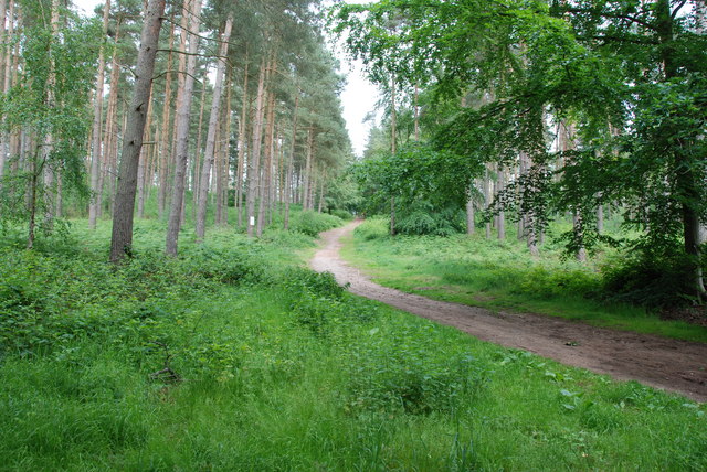
For nature enthusiasts, Blundies is surrounded by vast open spaces, offering ample opportunities for walking, hiking, and exploring the stunning Staffordshire countryside. The nearby Blundies Woods is a popular spot for outdoor activities, with its well-maintained trails and abundant wildlife.

Overall, Blundies, Staffordshire is a charming village that combines its rich history, breathtaking scenery, and close-knit community to create a truly unforgettable experience for residents and visitors.

If you have any feedback on the listing, please let us know in the comments section below.
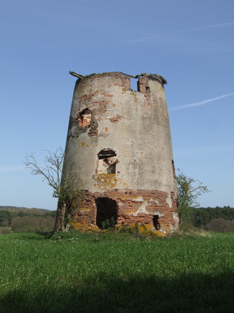
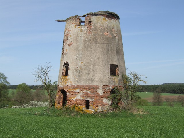
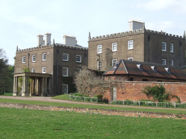
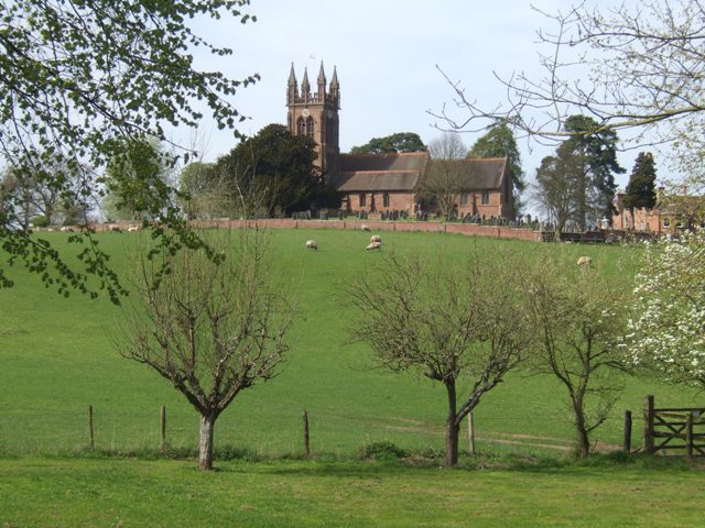
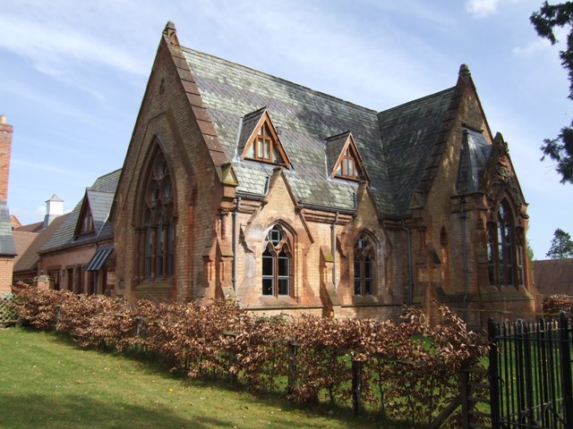
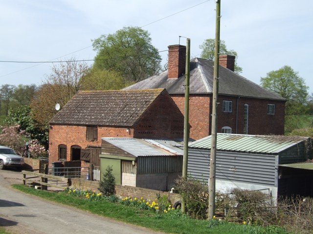
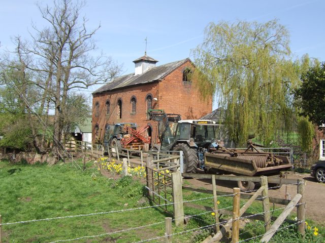
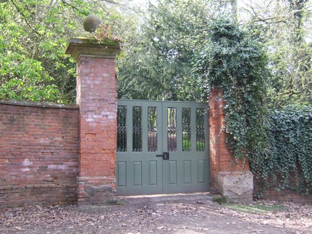
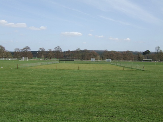
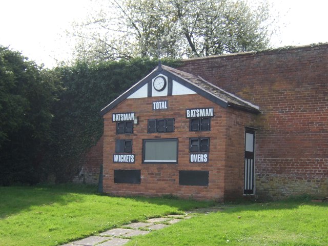
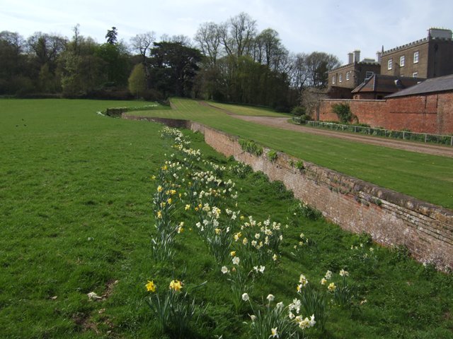
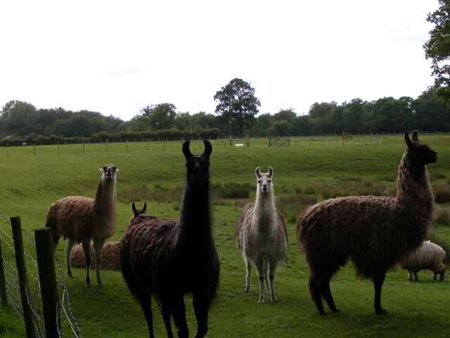
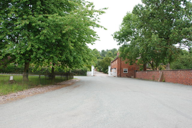
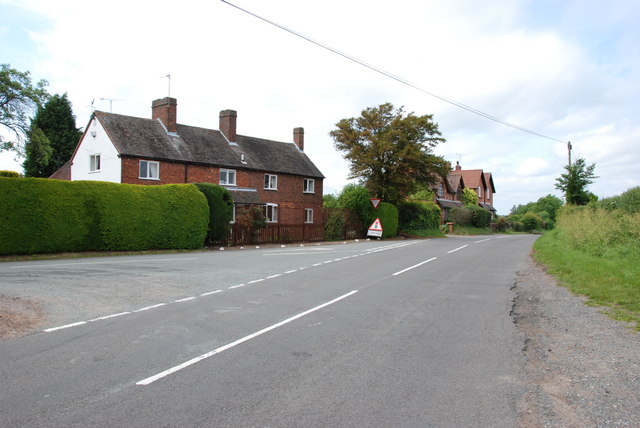
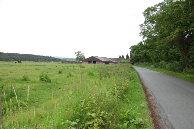
Blundies Images

Images are sourced within 2km of 52.485299/-2.253258 or Grid Reference SO8287. Thanks to Geograph Open Source API. All images are credited.

Enville windmill The tower mill on the edge of Enville Common built in 1800-1801 remained in use until 1870. The mill had four sails, boat cap and fantail. Little remains inside the shell except for sections of the turning ring for the boat cap. 

See <span class="nowrap"><a title="http://www.search.staffspasttrack.org.uk/engine/resource/default.asp?resource=11298" rel="nofollow ugc noopener" href="http://www.search.staffspasttrack.org.uk/engine/resource/default.asp?resource=11298">Link</a><img style="margin-left:2px;" alt="External link" title="External link - shift click to open in new window" src="https://s1.geograph.org.uk/img/external.png" width="10" height="10"/></span>
Enville windmill
The tower mill on the edge of Enville Common built in 1800-1801 remained in use until 1870. The mill had four sails, boat cap and fantail. Little remains inside the shell except for sections of the turning ring for the boat cap. See LinkExternal link
Enville windmill The tower mill on the edge of Enville Common built in 1800-1801 remained in use until 1870. The mill had four sails, boat cap and fantail. Little remains inside the shell except for sections of the turning ring for the boat cap. 

<span class="nowrap"><a title="http://www.search.staffspasttrack.org.uk/engine/resource/default.asp?resource=11298" rel="nofollow ugc noopener" href="http://www.search.staffspasttrack.org.uk/engine/resource/default.asp?resource=11298">Link</a><img style="margin-left:2px;" alt="External link" title="External link - shift click to open in new window" src="https://s1.geograph.org.uk/img/external.png" width="10" height="10"/></span>
Enville windmill
The tower mill on the edge of Enville Common built in 1800-1801 remained in use until 1870. The mill had four sails, boat cap and fantail. Little remains inside the shell except for sections of the turning ring for the boat cap. LinkExternal link
Enville Hall Grade II listed 16C&17C hall built by the Grey family, Earls of Stamford and Warrington. The extensive estate comprises 6500acres at Enville.
Enville Hall
Grade II listed 16C&17C hall built by the Grey family, Earls of Stamford and Warrington. The extensive estate comprises 6500acres at Enville.
View to Enville Church Quintessential English village church near to Enville Hall with sheep grazing the fields. The church is largely Norman built on to an earlier Saxon foundation. The tower dates from the mid 1870s and is  a late commission by George Gilbert Scott the renowned architect of churches, cathedrals and St Pancras Station.
View to Enville Church
Quintessential English village church near to Enville Hall with sheep grazing the fields. The church is largely Norman built on to an earlier Saxon foundation. The tower dates from the mid 1870s and is a late commission by George Gilbert Scott the renowned architect of churches, cathedrals and St Pancras Station.
Former Enville School School in the estate village erected by the Countess of Stamford and Warrington in the 1860s.
Former Enville School
School in the estate village erected by the Countess of Stamford and Warrington in the 1860s.
Mill farm Estate farm in Mill Lane.
Mill farm
Estate farm in Mill Lane.
Spittlebrook Mill Estate property on the Enville Estate.
Spittlebrook Mill
Estate property on the Enville Estate.
Gateway at Enville Hall The gate in the brick wall surrounding the hall leads into the landscaped gardens.
Gateway at Enville Hall
The gate in the brick wall surrounding the hall leads into the landscaped gardens.
Enville Cricket Club In the grounds of Enville Hall.
Enville Cricket Club
In the grounds of Enville Hall.
Scoreboard at Enville Cricket Club Built onto the wall surrounding Enville Hall.
Scoreboard at Enville Cricket Club
Built onto the wall surrounding Enville Hall.
Ha-ha at Enville Hall The Ha-ha or sunken wall feature separates the house and gardens from the grazing in the landscaped parkland.
Ha-ha at Enville Hall
The Ha-ha or sunken wall feature separates the house and gardens from the grazing in the landscaped parkland.
Llama Herd The view by Mere Hall from the Staffordshire Way.
Llama Herd
The view by Mere Hall from the Staffordshire Way.
Main Entrance To Enville Hall.
A Track Into The Million.
Cottages On Junction Of Chester Road & Hoo Lane.
Falcon Farm, Enville. Falcon Farm is part of the Enville Estate.
Falcon Farm, Enville.
Falcon Farm is part of the Enville Estate.
Public bridleway through Million Wood, near Enville The public bridleway which runs through the heart of this large wood, is the only route which the public can use. There are no other public rights of way, nor is it access land. Forestry operations are undertaken in the wood, so it is probably safest to stick to the correct route!
Public bridleway through Million Wood, near Enville
The public bridleway which runs through the heart of this large wood, is the only route which the public can use. There are no other public rights of way, nor is it access land. Forestry operations are undertaken in the wood, so it is probably safest to stick to the correct route!
Million Wood near Enville A typical scene in the wood, taken from the public bridleway. Although there appears to be a path here, there is no public right of way other than on the bridleway. The trees here are mainly pine. In April 2011, another part of the wood suffered a bad fire, which took some days to extinguish.
Million Wood near Enville
A typical scene in the wood, taken from the public bridleway. Although there appears to be a path here, there is no public right of way other than on the bridleway. The trees here are mainly pine. In April 2011, another part of the wood suffered a bad fire, which took some days to extinguish.
Show me another place!

Blundies is located at Grid Ref: SO8287 (Lat: 52.485299, Lng: -2.253258)

Administrative County: Staffordshire

District: South Staffordshire

Police Authority: Staffordshire

What 3 Words

///prevents.speeding.stall. Near Kinvere, Staffordshire

Related Wikis

West Midlands (region)

The West Midlands is one of nine official regions of England at the first level of International Territorial Level for statistical purposes. It covers...

Enville, Staffordshire

Enville is a village and civil parish in rural Staffordshire, England, on the A458 road between Stourbridge and Bridgnorth. Enville is in the South Staffordshire...

Enville Hall

Enville Hall is an English Tudor country house in the village of Enville, Staffordshire. It is a Grade II listed building.The house has a 16th and 17th...

Great Fountain, Enville

The Great Fountain, Enville, was a fountain created in the mid-19th century by the Earl of Stamford in the middle of a lake on his Enville Hall estate...

Highgate Common

Highgate Common is a Staffordshire Wildlife Trust reserve containing a mix of heathland and woodland. It is about 129 hectares or 320 acres in size. The...

Greensforge

Greensforge is a scattered hamlet on the boundary of Kinver and Swindon parishes, in South Staffordshire, England. It is noted for its Roman associations...

Bobbington

Bobbington is a village and civil parish in the South Staffordshire district of Staffordshire, England, about 5 miles (8.0 km) west of Wombourne. According...

Wolverhampton Airport

Wolverhampton Halfpenny Green Airport (ICAO: EGBO), formerly Halfpenny Green Airport and Wolverhampton Business Airport, locally Bobbington Airport, is...

Nearby Amenities

Located within 500m of 52.485299,-2.253258
Blundies
Created By: Potlatch 0.10f
Place: hamlet
Lat/Long: 52.4814421/-2.2544291
Bus Stop
Brown's Lake Road
Bus: yes
Naptan AtcoCode: 3800C605800
Naptan Bearing: SW
Naptan CommonName: Brown's Lake Road
Naptan Indicator: Adj
Naptan Landmark: Brown's Lake Road
Naptan Street: Blundies Lane
Naptan Verified: no
Public Transport: platform
Source: naptan_import
Lat/Long: 52.4826972/-2.2525263
Brown's Lake Road
Naptan AtcoCode: 3800C605801
Naptan Bearing: NE
Naptan BusStopType: CUS
Naptan CommonName: Brown's Lake Road
Naptan Indicator: Opp
Naptan Landmark: Brown's Lake Road
Naptan Street: Blundies Lane
Naptan Verified: no
Source: naptan_import
Lat/Long: 52.4827777/-2.2527182
The data included in this document is from www.openstreetmap.org. The data is made available under ODbL.

Have you been to Blundies?

Leave your review of Blundies below (or comments, questions and feedback).