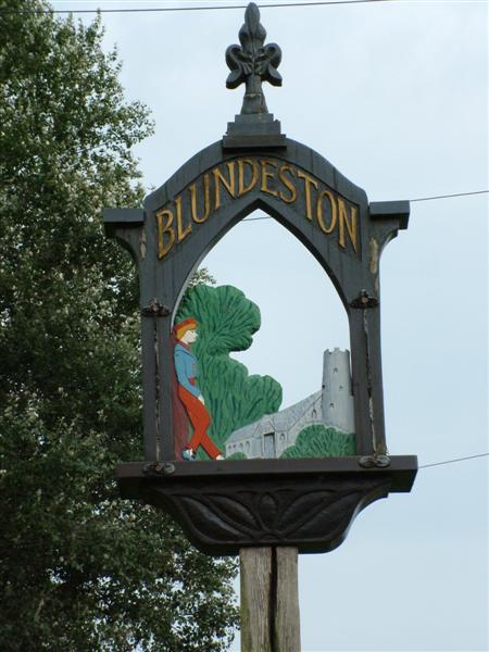
Blundeston
Settlement in Suffolk East Suffolk
England
Blundeston
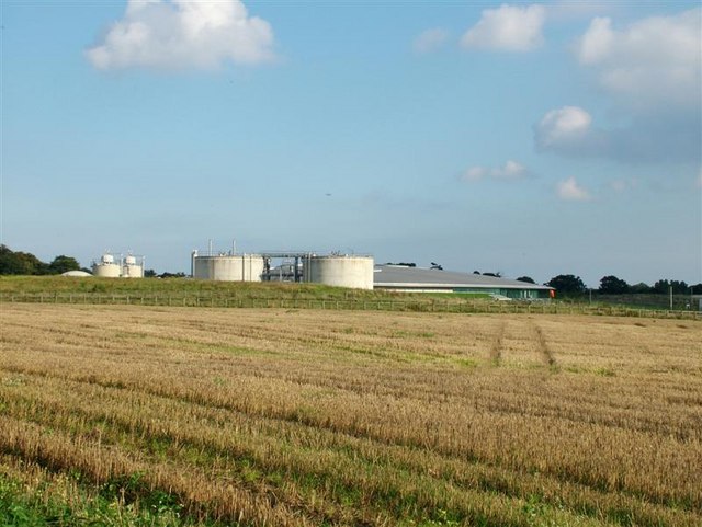
Blundeston is a small village located in the county of Suffolk, England. Situated just over 4 miles southwest of the coastal town of Lowestoft, it falls within the East Suffolk district. Blundeston is surrounded by picturesque countryside, providing a tranquil and idyllic setting for its residents.
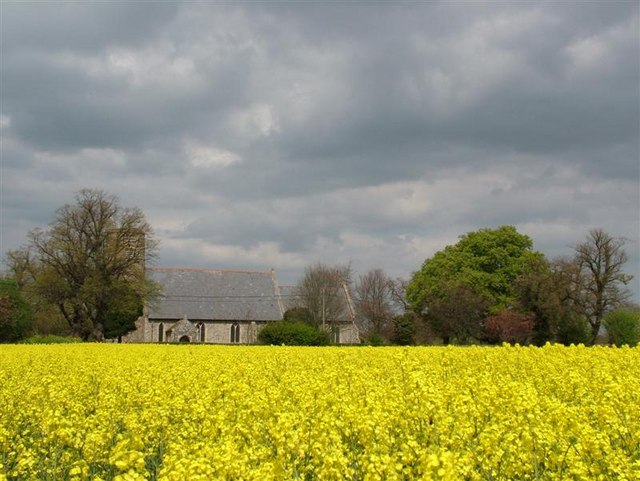
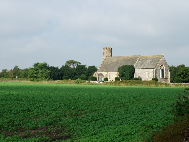
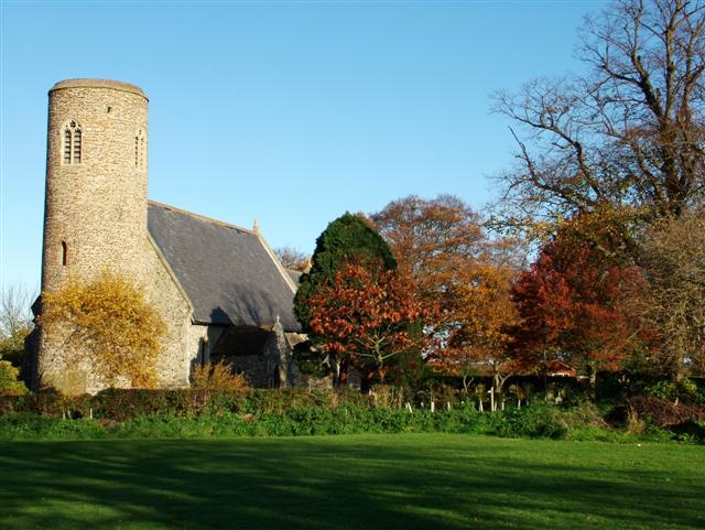
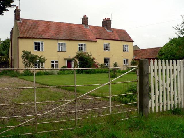
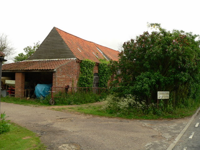
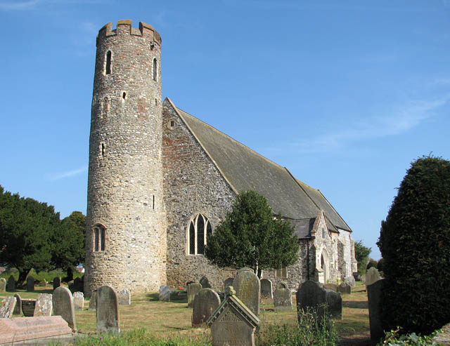
The village is known for its charming and traditional architecture, with many of its buildings dating back to the 18th and 19th centuries. The centerpiece of Blundeston is St. Mary's Church, a Grade II listed building that stands as a testament to the village's rich history.
Blundeston is home to a close-knit community, where residents enjoy a strong sense of camaraderie and involvement in local events and activities. The village has a primary school, providing education for children in the area, and a village hall that serves as a hub for various social gatherings and functions.
Surrounded by unspoiled natural beauty, Blundeston offers plenty of opportunities for outdoor activities, including walking, cycling, and exploring the nearby coast. The village is ideally located for those seeking a peaceful lifestyle while still having access to amenities, as it is within easy reach of Lowestoft's shops, supermarkets, and leisure facilities.
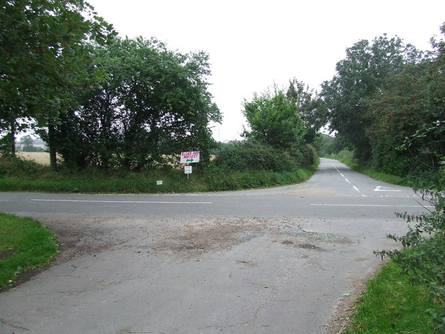
Blundeston benefits from excellent transport links, with regular bus services connecting it to nearby towns and villages. The A12 road is also easily accessible, providing convenient access to the wider region.
In summary, Blundeston is a charming village in Suffolk that offers a tranquil and picturesque setting. With its rich history, strong sense of community, and proximity to both countryside and coastal attractions, it is an attractive place to live or visit.
If you have any feedback on the listing, please let us know in the comments section below.
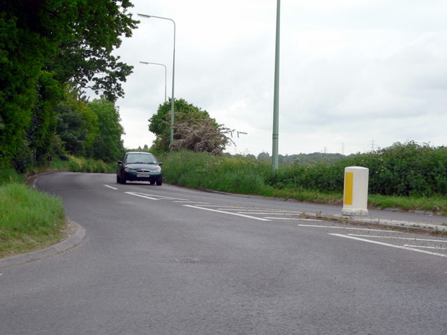
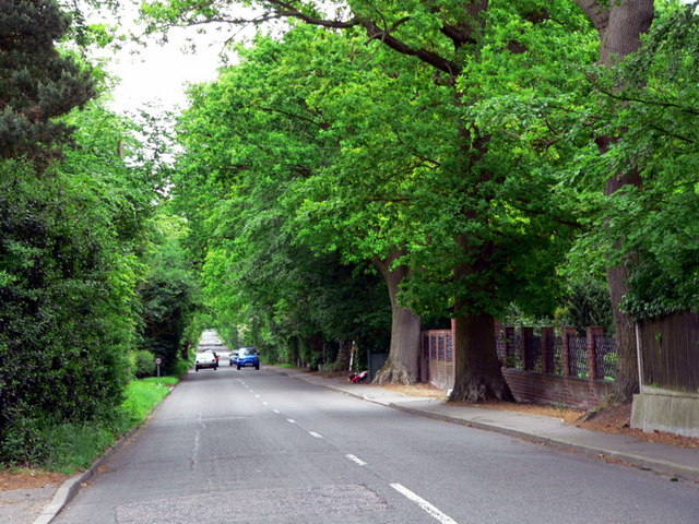
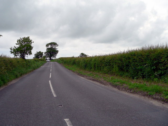
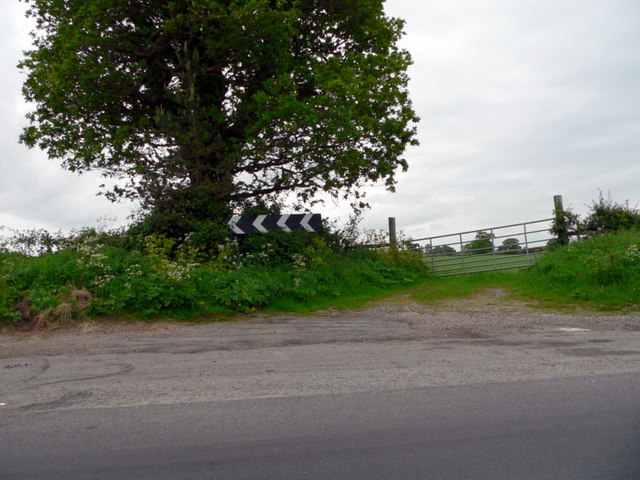
Blundeston Images
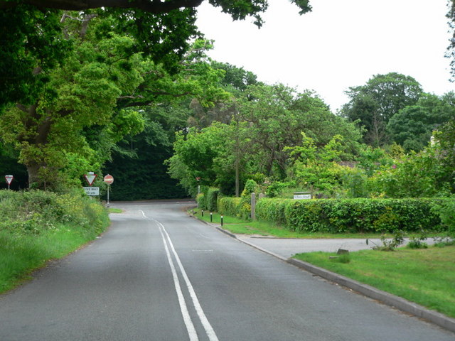
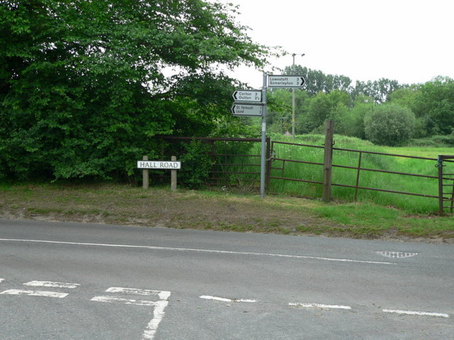
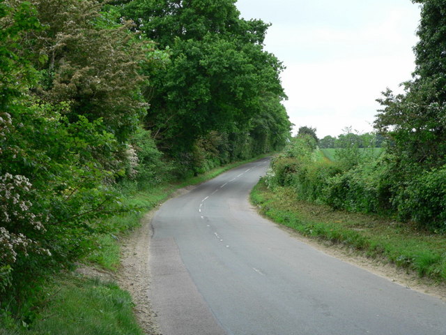
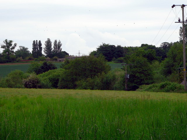
Images are sourced within 2km of 52.51634/1.707342 or Grid Reference TM5197. Thanks to Geograph Open Source API. All images are credited.

Blundeston is located at Grid Ref: TM5197 (Lat: 52.51634, Lng: 1.707342)
Administrative County: Suffolk
District: East Suffolk
Police Authority: Suffolk
What 3 Words
///harsh.breaches.chicken. Near Hopton on Sea, Norfolk
Nearby Locations
Related Wikis
Blundeston
Blundeston is a village and civil parish in the north of the English county of Suffolk. It is 3.5 miles (5.6 km) north-west of Lowestoft, 6 miles (9.7...

Blundeston Windmill
Blundeston Mill is a tower mill at Blundeston, Suffolk, England which has been converted to residential accommodation. == History == Blundeston Mill was...

Lothingland
Lothingland is an area in the English counties of Suffolk and Norfolk on the North Sea coast. It is bound by the River Yare and Breydon Water to the north...
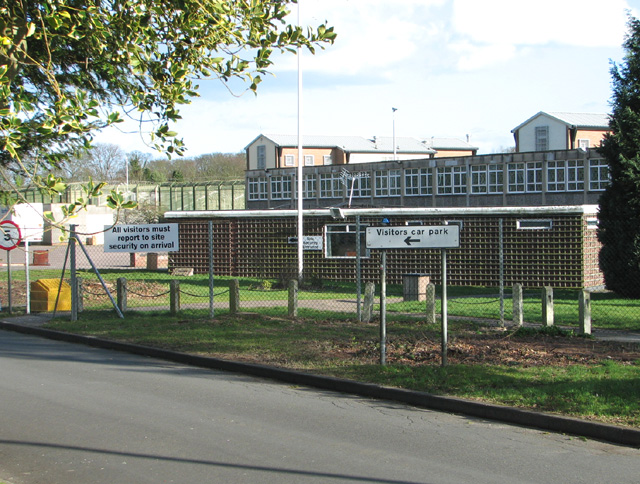
HM Prison Blundeston
HM Prison Blundeston was a Category C men's prison, located in the Village of Blundeston in Suffolk, England. The prison was operated by Her Majesty's...
Nearby Amenities
Located within 500m of 52.51634,1.707342Have you been to Blundeston?
Leave your review of Blundeston below (or comments, questions and feedback).