Enville
Civil Parish in Staffordshire South Staffordshire
England
Enville
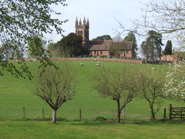
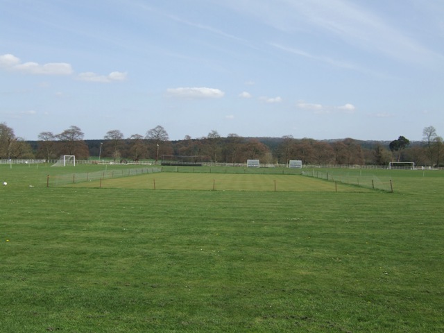
Enville is a civil parish located in the county of Staffordshire, England. Situated in the South Staffordshire district, it covers an area of approximately 10 square miles. The parish is predominantly rural, characterized by rolling hills, picturesque countryside, and charming villages.
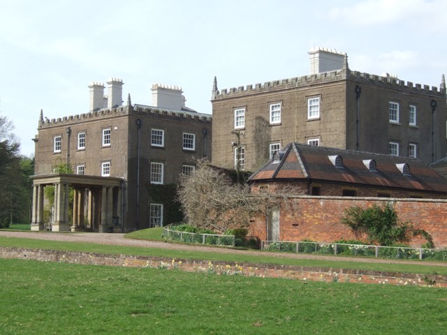
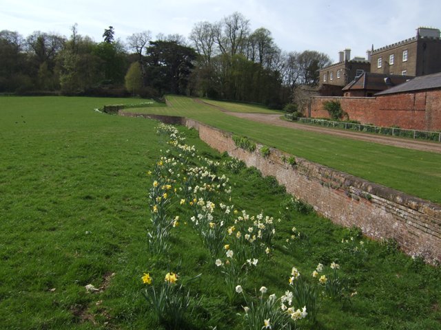
Enville is renowned for its historic features, including Enville Hall, a Grade II* listed country house dating back to the 18th century. The hall is surrounded by beautifully landscaped gardens, which are open to the public on certain occasions. The estate also includes a golf club, making it a popular destination for golf enthusiasts.
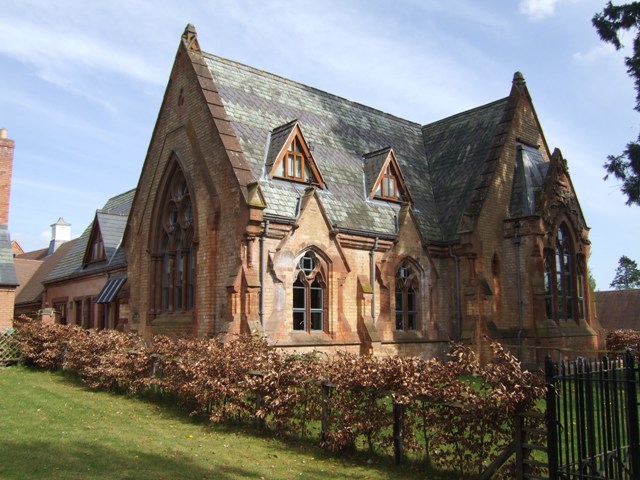
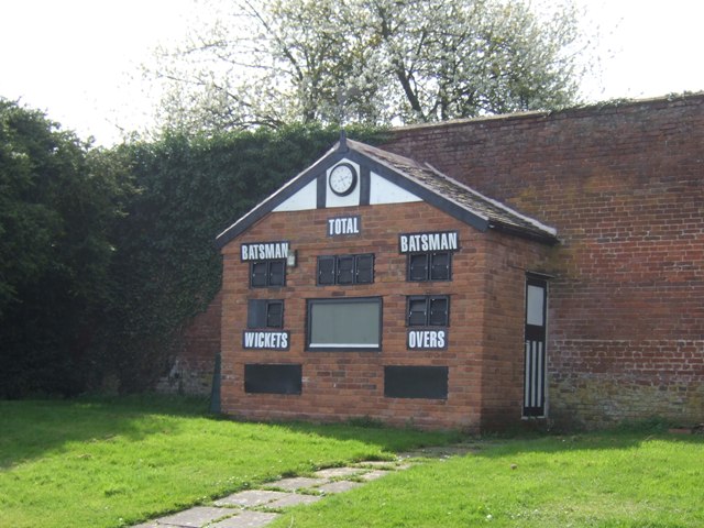
The parish is home to a small population of around 1,000 residents. The community is close-knit and friendly, with a strong sense of local pride. The village itself consists of a few quaint cottages, a village hall, a primary school, and a church.
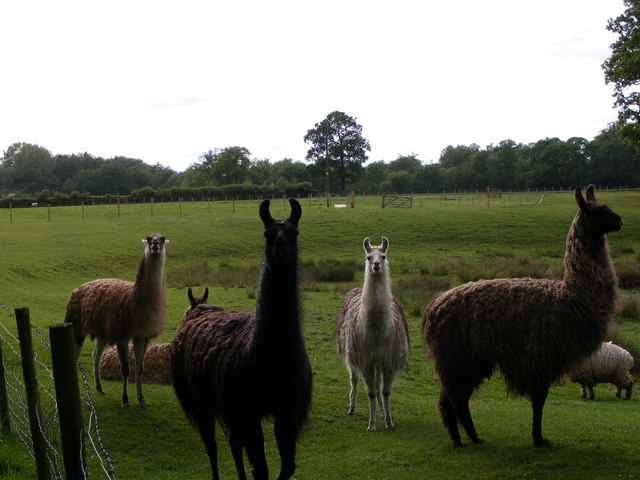
The natural beauty of Enville attracts visitors from far and wide, who come to enjoy the peaceful surroundings and take part in outdoor activities such as hiking, cycling, and horse riding. The area is also home to a variety of wildlife, making it a haven for nature lovers.
Enville is well-connected to nearby towns and cities, with Wolverhampton and Stourbridge both within a short distance. The parish benefits from good transport links, including regular bus services and easy access to major road networks.
Overall, Enville offers a tranquil and idyllic setting, where residents and visitors alike can enjoy the beauty of the Staffordshire countryside and experience a true sense of rural charm.
If you have any feedback on the listing, please let us know in the comments section below.
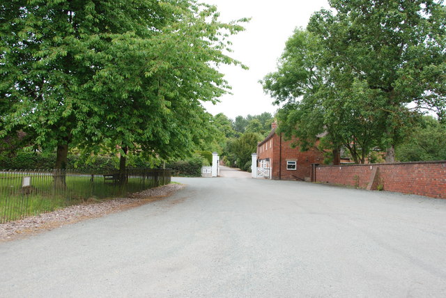
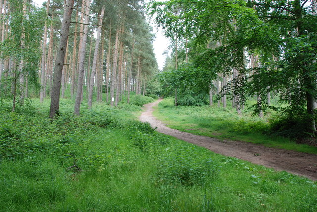
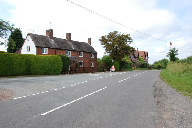
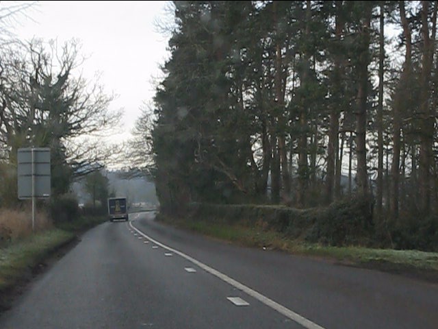
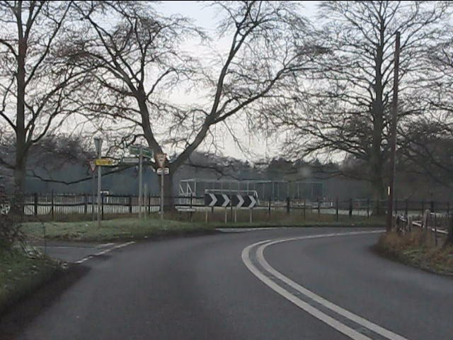
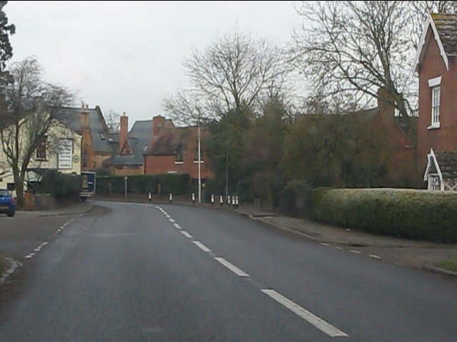
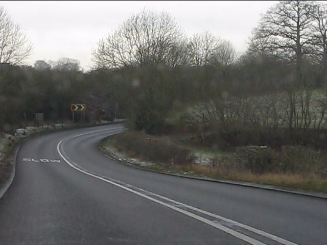
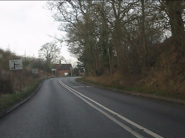
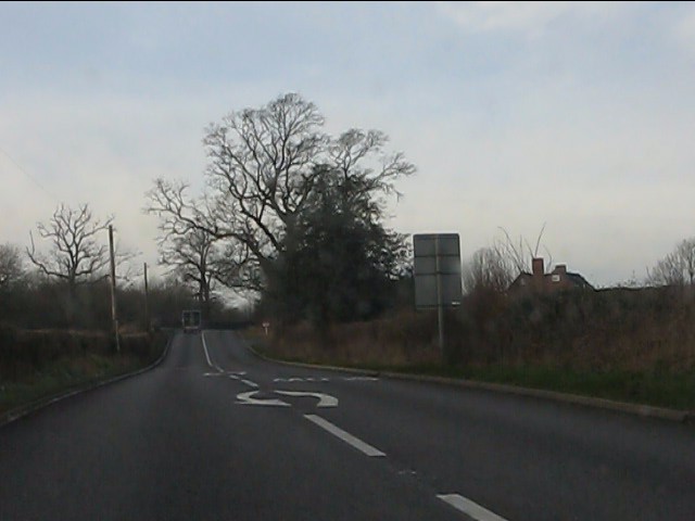
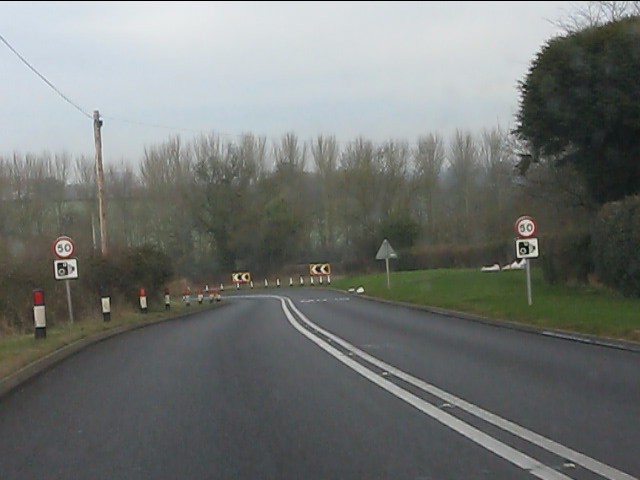
Enville Images
Images are sourced within 2km of 52.486908/-2.261617 or Grid Reference SO8287. Thanks to Geograph Open Source API. All images are credited.
Enville is located at Grid Ref: SO8287 (Lat: 52.486908, Lng: -2.261617)
Administrative County: Staffordshire
District: South Staffordshire
Police Authority: Staffordshire
What 3 Words
///beak.farmed.rocker. Near Kinvere, Staffordshire
Nearby Locations
Related Wikis

West Midlands (region)
The West Midlands is one of nine official regions of England at the first level of International Territorial Level for statistical purposes. It covers...

Enville, Staffordshire
Enville is a village and civil parish in rural Staffordshire, England, on the A458 road between Stourbridge and Bridgnorth. Enville is in the South Staffordshire...

Great Fountain, Enville
The Great Fountain, Enville, was a fountain created in the mid-19th century by the Earl of Stamford in the middle of a lake on his Enville Hall estate...

Enville Hall
Enville Hall is an English Tudor country house in the village of Enville, Staffordshire. It is a Grade II listed building.The house has a 16th and 17th...

Highgate Common
Highgate Common is a Staffordshire Wildlife Trust reserve containing a mix of heathland and woodland. It is about 129 hectares or 320 acres in size. The...

Bobbington
Bobbington is a village and civil parish in the South Staffordshire district of Staffordshire, England, about 5 miles (8.0 km) west of Wombourne. According...
Wolverhampton Airport
Wolverhampton Halfpenny Green Airport (ICAO: EGBO), formerly Halfpenny Green Airport and Wolverhampton Business Airport, locally Bobbington Airport, is...

Mid Severn Sandstone Plateau
The Mid Severn Sandstone Plateau is a rural landscape and one of the natural regions of central England, straddling the border between the counties of...
Nearby Amenities
Located within 500m of 52.486908,-2.261617Have you been to Enville?
Leave your review of Enville below (or comments, questions and feedback).