Hillman's Covert
Wood, Forest in Staffordshire South Staffordshire
England
Hillman's Covert
Hillman's Covert is a picturesque woodland located in Staffordshire, England. Situated in the heart of the county, this forested area covers an approximate area of 200 acres, providing a haven for nature enthusiasts and outdoor enthusiasts alike.
The woodland is characterized by its dense and diverse collection of trees, including oak, beech, and birch, which create a stunning canopy that stretches as far as the eye can see. The forest floor is blanketed with a rich tapestry of wildflowers, ferns, and mosses, adding to the enchanting atmosphere of the area.
Hillman's Covert is home to a wide variety of wildlife, making it a popular spot for birdwatching and nature photography. Visitors may catch a glimpse of red kites soaring above, or perhaps spot the elusive woodpecker tapping away at a tree trunk. The forest is also inhabited by a healthy population of deer, rabbits, and squirrels, providing ample opportunities for wildlife enthusiasts to observe and appreciate these creatures in their natural habitat.
For those who enjoy outdoor activities, Hillman's Covert offers a network of well-maintained trails that wind through the forest, allowing visitors to explore the area at their leisure. These paths are suitable for both casual strolls and more adventurous hikes, catering to individuals of all fitness levels.
Hillman's Covert is a hidden gem in Staffordshire, offering a tranquil and immersive experience in the heart of nature. Whether one seeks solace in the peaceful surroundings or wishes to engage in outdoor pursuits, this woodland provides an idyllic escape from the hustle and bustle of everyday life.
If you have any feedback on the listing, please let us know in the comments section below.
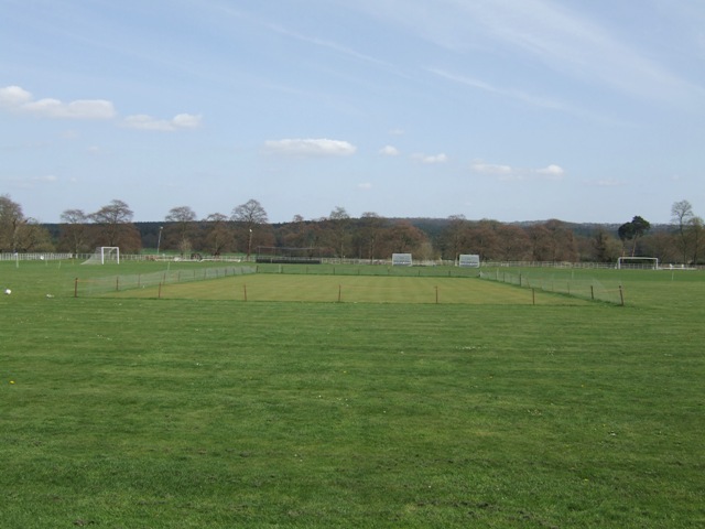
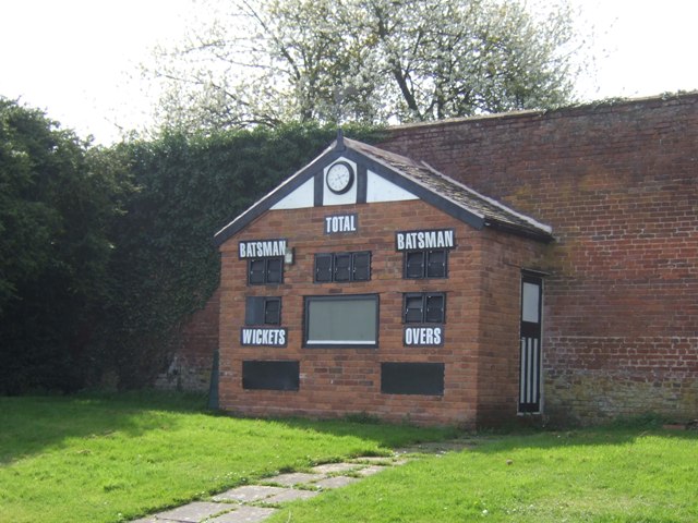
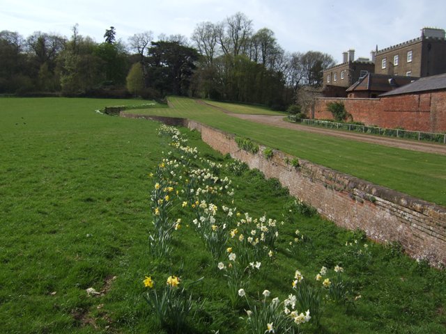
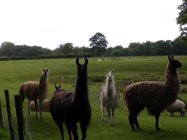
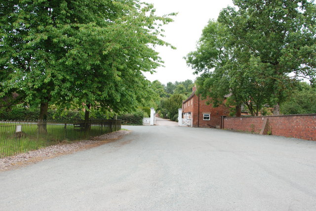
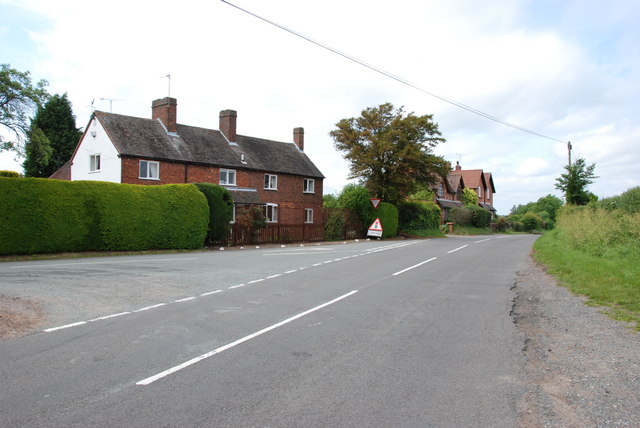
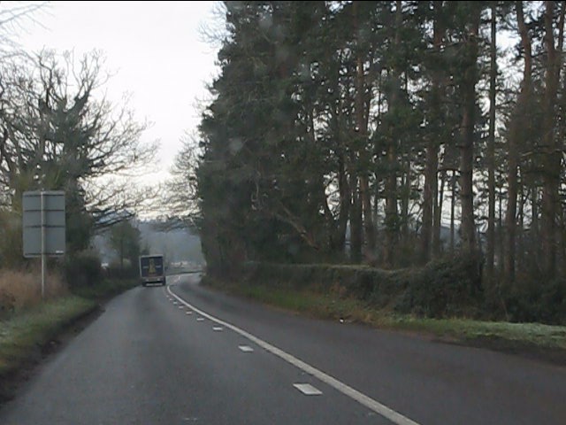
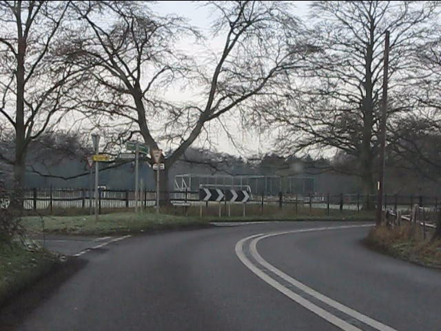
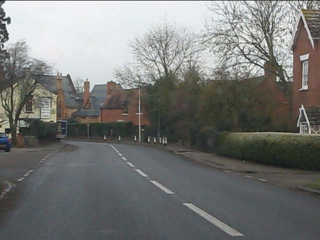
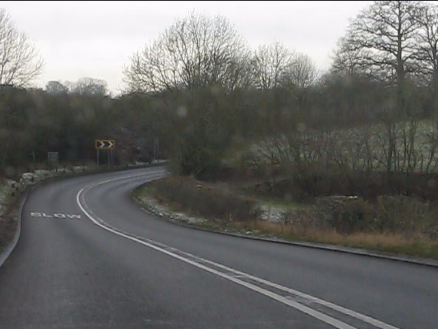
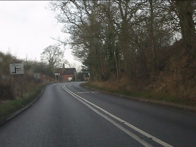
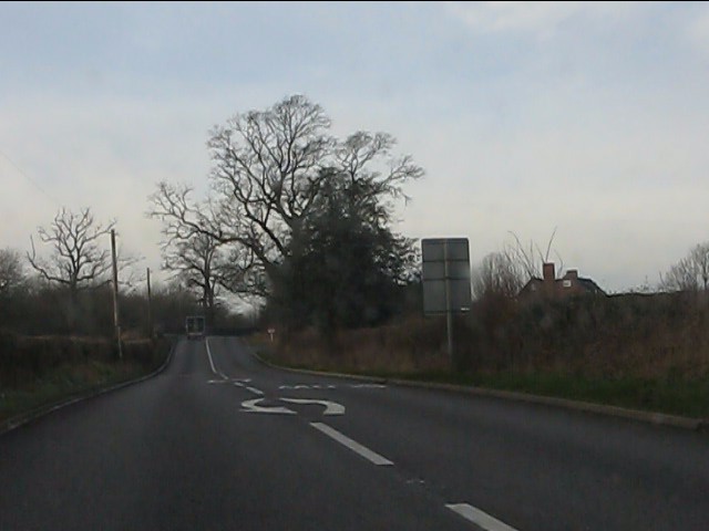
Hillman's Covert Images
Images are sourced within 2km of 52.488077/-2.2622996 or Grid Reference SO8287. Thanks to Geograph Open Source API. All images are credited.
Hillman's Covert is located at Grid Ref: SO8287 (Lat: 52.488077, Lng: -2.2622996)
Administrative County: Staffordshire
District: South Staffordshire
Police Authority: Staffordshire
What 3 Words
///landscape.landscape.snitch. Near Kinvere, Staffordshire
Nearby Locations
Related Wikis

West Midlands (region)
The West Midlands is one of nine official regions of England at the first level of International Territorial Level for statistical purposes. It covers...

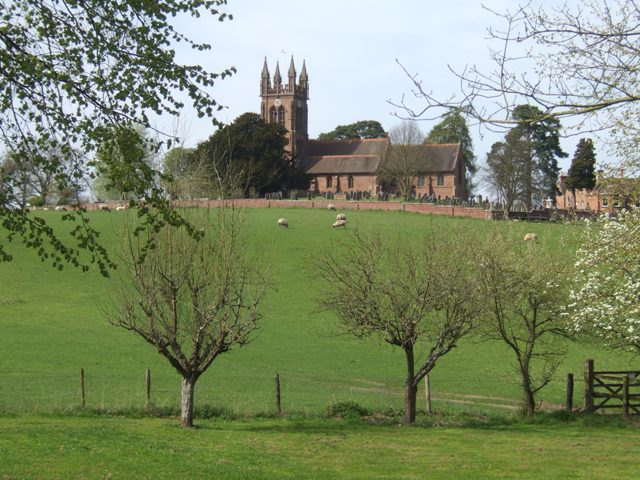
Enville, Staffordshire
Enville is a village and civil parish in rural Staffordshire, England, on the A458 road between Stourbridge and Bridgnorth. Enville is in the South Staffordshire...

Great Fountain, Enville
The Great Fountain, Enville, was a fountain created in the mid-19th century by the Earl of Stamford in the middle of a lake on his Enville Hall estate...

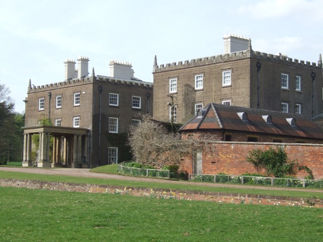
Enville Hall
Enville Hall is an English Tudor country house in the village of Enville, Staffordshire. It is a Grade II listed building.The house has a 16th and 17th...

Highgate Common
Highgate Common is a Staffordshire Wildlife Trust reserve containing a mix of heathland and woodland. It is about 129 hectares or 320 acres in size. The...

Bobbington
Bobbington is a village and civil parish in the South Staffordshire district of Staffordshire, England, about 5 miles (8.0 km) west of Wombourne. According...
Wolverhampton Airport
Wolverhampton Halfpenny Green Airport (ICAO: EGBO), formerly Halfpenny Green Airport and Wolverhampton Business Airport, locally Bobbington Airport, is...

Mid Severn Sandstone Plateau
The Mid Severn Sandstone Plateau is a rural landscape and one of the natural regions of central England, straddling the border between the counties of...
Nearby Amenities
Located within 500m of 52.488077,-2.2622996Have you been to Hillman's Covert?
Leave your review of Hillman's Covert below (or comments, questions and feedback).