Southern Green

Settlement in Hertfordshire North Hertfordshire

England

Southern Green

Roe Green Village This is the Village of Roe Green where the housing is set back 100 mtrs or so from the roads serving the village. The village Cricket Green is seen along with the Pavilion. This is a typical layout for villages in this part of Hertfordshire and nearby Essex.
Roe Green Village Credit: Richard Thomas

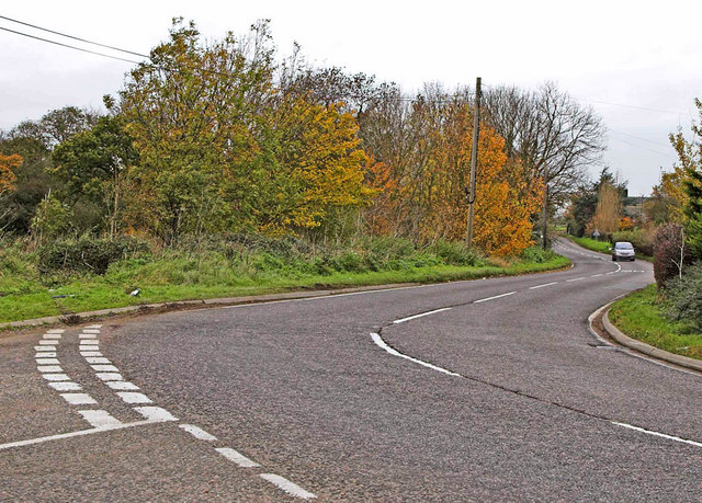
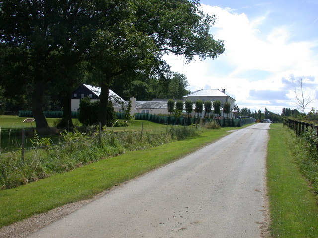
Southern Green is a small village located in the county of Hertfordshire, England. Situated approximately 30 miles north of central London, it falls within the local government district of East Hertfordshire. The village is surrounded by beautiful countryside and boasts a peaceful and picturesque setting.

Despite its small size, Southern Green has a rich history that dates back several centuries. The area was predominantly farmland until the 19th century when the arrival of the railway brought some industrial development. However, the village has managed to retain its rural charm and character.

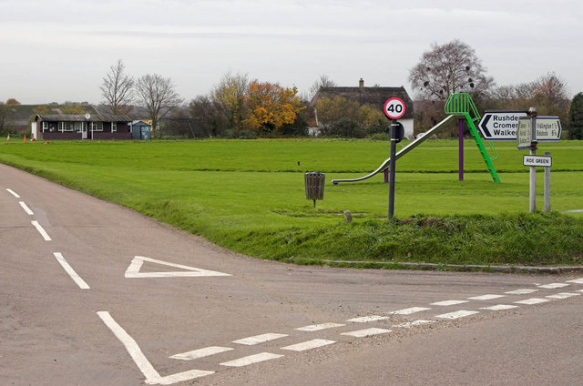
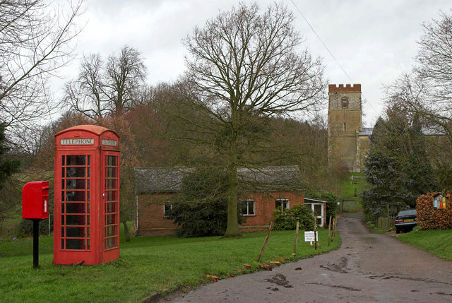
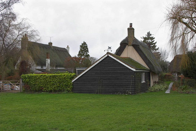
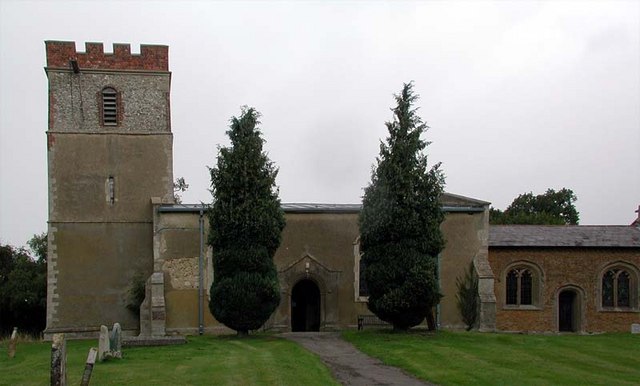
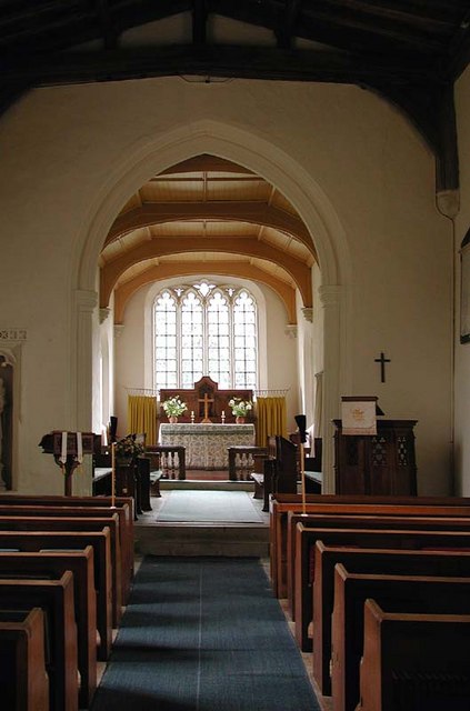
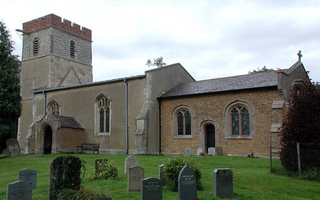
The heart of Southern Green is its village green, a well-maintained open space that serves as a focal point for community activities and events. The green is surrounded by a few scattered houses, giving the village a quaint and intimate feel. A small church, St. Mary's, also stands nearby, adding to the village's sense of heritage.

While Southern Green is primarily a residential area, it benefits from its proximity to nearby towns and cities. The village is well-connected to the surrounding areas via road and rail, making it an attractive location for commuters. Additionally, the nearby town of Hertford offers a range of amenities, including shops, restaurants, and leisure facilities, ensuring residents have access to all necessary services.

Overall, Southern Green offers a tranquil and idyllic lifestyle, making it a desirable place to live for those seeking a balance between rural living and easy access to urban amenities.

If you have any feedback on the listing, please let us know in the comments section below.

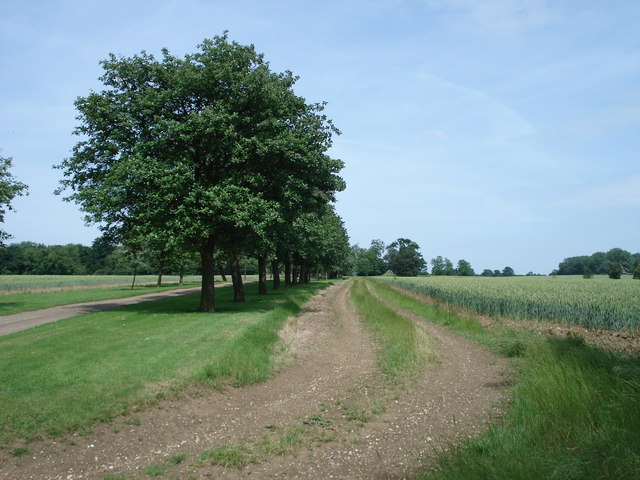
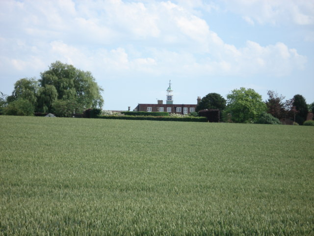
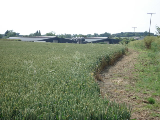
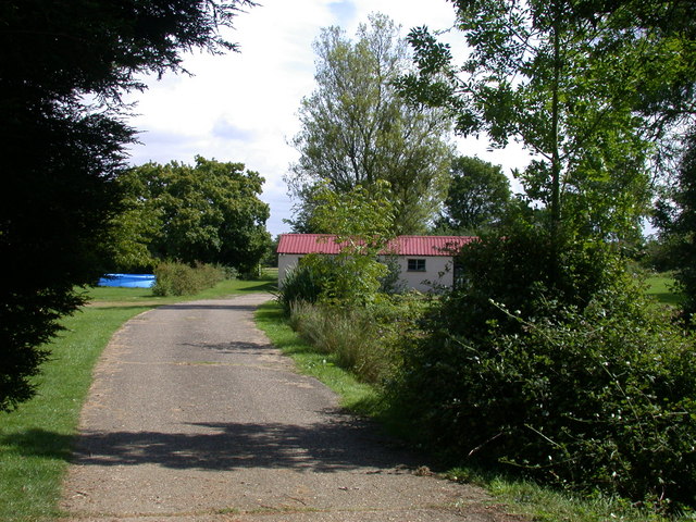
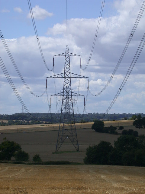
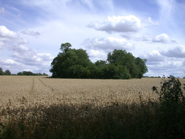
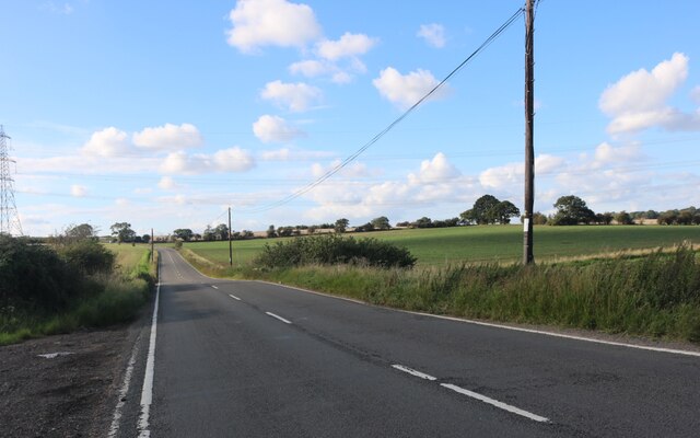
Southern Green Images

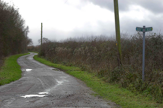
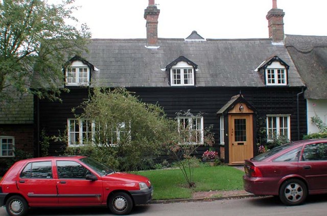
Images are sourced within 2km of 51.967791/-0.090724 or Grid Reference TL3131. Thanks to Geograph Open Source API. All images are credited.

Roe Green Village This is the Village of Roe Green where the housing is set back 100 mtrs or so from the roads serving the village. The village Cricket Green is seen along with the Pavilion. This is a typical layout for villages in this part of Hertfordshire and nearby Essex.
Roe Green Village
This is the Village of Roe Green where the housing is set back 100 mtrs or so from the roads serving the village. The village Cricket Green is seen along with the Pavilion. This is a typical layout for villages in this part of Hertfordshire and nearby Essex.
A507 at Cumberlow Green Looking North, the A507 winds through Cumberlow Green towards Baldock. The road to the left leads to Cromer. Just out of sight is another junction where a left turn is required to follow the A507. Many an unsuspecting driver has been caught by this where the minor road takes priority.
A507 at Cumberlow Green
Looking North, the A507 winds through Cumberlow Green towards Baldock. The road to the left leads to Cromer. Just out of sight is another junction where a left turn is required to follow the A507. Many an unsuspecting driver has been caught by this where the minor road takes priority.
Church at Rushden - Hertfordshire The Village of Rushden is located off main through roads and is very quiet. This shows the village church and other amenities - Phone and Postbox.
Church at Rushden - Hertfordshire
The Village of Rushden is located off main through roads and is very quiet. This shows the village church and other amenities - Phone and Postbox.
Thatched Cottages A pleasant surprise on reaching Southern Green, was to find this group of thatched cottages.
Thatched Cottages
A pleasant surprise on reaching Southern Green, was to find this group of thatched cottages.
Road and Footpath Junction This is where the public road becomes a series of footpath's and farm tracks. The signpost shows Offley Green to be behind the camera (to the North West).
Road and Footpath Junction
This is where the public road becomes a series of footpath's and farm tracks. The signpost shows Offley Green to be behind the camera (to the North West).
House near church, Rushden, Herts
St Mary, Rushden, Herts
St Mary, Rushden, Herts - East end
St Mary, Rushden, Herts - Corbel
St Mary, Rushden, Herts
Avenue leading to Julians Park
Julians, near Rushden Home to the Royal Artillery during WW2
Julians, near Rushden
Home to the Royal Artillery during WW2
New chicken sheds at Lye End Farm
Wood Farm, Southern Green
Lodge Farm, Southern Green
A Study in Catenary Curves
A Little Wood in a Wheat Field
The A507 before Cumberlow Green
Show me another place!

Southern Green is located at Grid Ref: TL3131 (Lat: 51.967791, Lng: -0.090724)

Administrative County: Hertfordshire

District: North Hertfordshire

Police Authority: Hertfordshire

What 3 Words

///suave.confined.civil. Near Buntingford, Hertfordshire

Nearby Locations

Southern Green Rushden

Related Wikis

Rushden, Hertfordshire

Rushden is a small village and civil parish which forms part of the grouped parish council of Rushden and Wallington in the North Hertfordshire district...

Broadfield, Hertfordshire

Broadfield is a hamlet and former civil parish, now in the parish of Cottered, in the East Hertfordshire district, in the county of Hertfordshire, England...

Cottered

Cottered is a village and civil parish 3 miles (4.8 km) west of Buntingford and 6 miles (9.7 km) east of Baldock in the East Hertfordshire District of...

Blagrove Common

Blagrove Common is a 4.0-hectare (9.9-acre) Site of Special Scientific Interest in Green End near Sandon in Hertfordshire. It is managed by the Hertfordshire...

Nearby Amenities

Located within 500m of 51.967791,-0.090724
Barrier: kissing_gate
Source: GPS
Lat/Long: 51.9691431/-0.0961955
Post Box
Southern Green
Collection Times: Mo-Fr 17:45; Sa 08:00
Ref: SG9 125
Lat/Long: 51.9674947/-0.0931146
Power: pole
Lat/Long: 51.9705163/-0.0867159
Power: pole
Lat/Long: 51.9676641/-0.084377
Material: wood
Power: pole
Lat/Long: 51.9714876/-0.0874626
Power: pole
Lat/Long: 51.9692664/-0.0857975
Power: pole
Lat/Long: 51.9686193/-0.0851924
Power: pole
Lat/Long: 51.9710013/-0.0915264
Power: pole
Lat/Long: 51.9693067/-0.0899774
Power: pole
Lat/Long: 51.9701201/-0.0898734
Power: pole
Lat/Long: 51.9709129/-0.0897427
Power: pole
Lat/Long: 51.9715705/-0.0901008
The data included in this document is from www.openstreetmap.org. The data is made available under ODbL.

Have you been to Southern Green?

Leave your review of Southern Green below (or comments, questions and feedback).