Rushden

Civil Parish in Hertfordshire North Hertfordshire

England

Rushden

Roe Green Farm Almost hidden behind its own windbreak, Roe Green Farm can be seen.
Roe Green Farm Credit: Richard Thomas

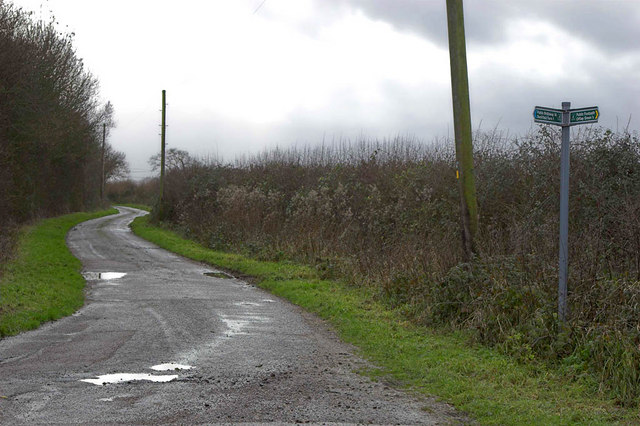
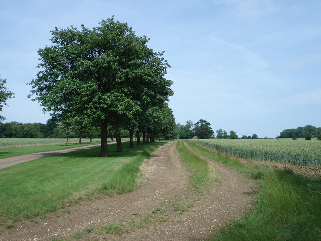
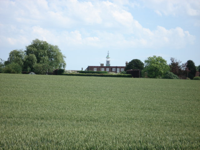
Rushden is a civil parish located in Hertfordshire, England. It is situated approximately 4 miles west of the town of Hitchin and covers an area of around 5.7 square miles. The parish is primarily rural and characterized by rolling hills, farmland, and scattered residential properties.

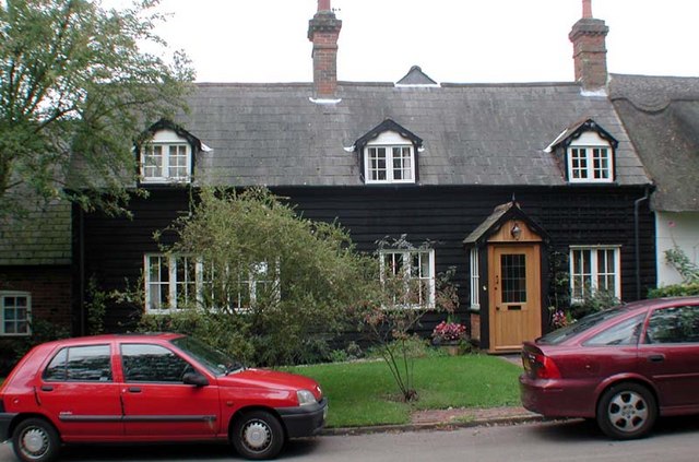
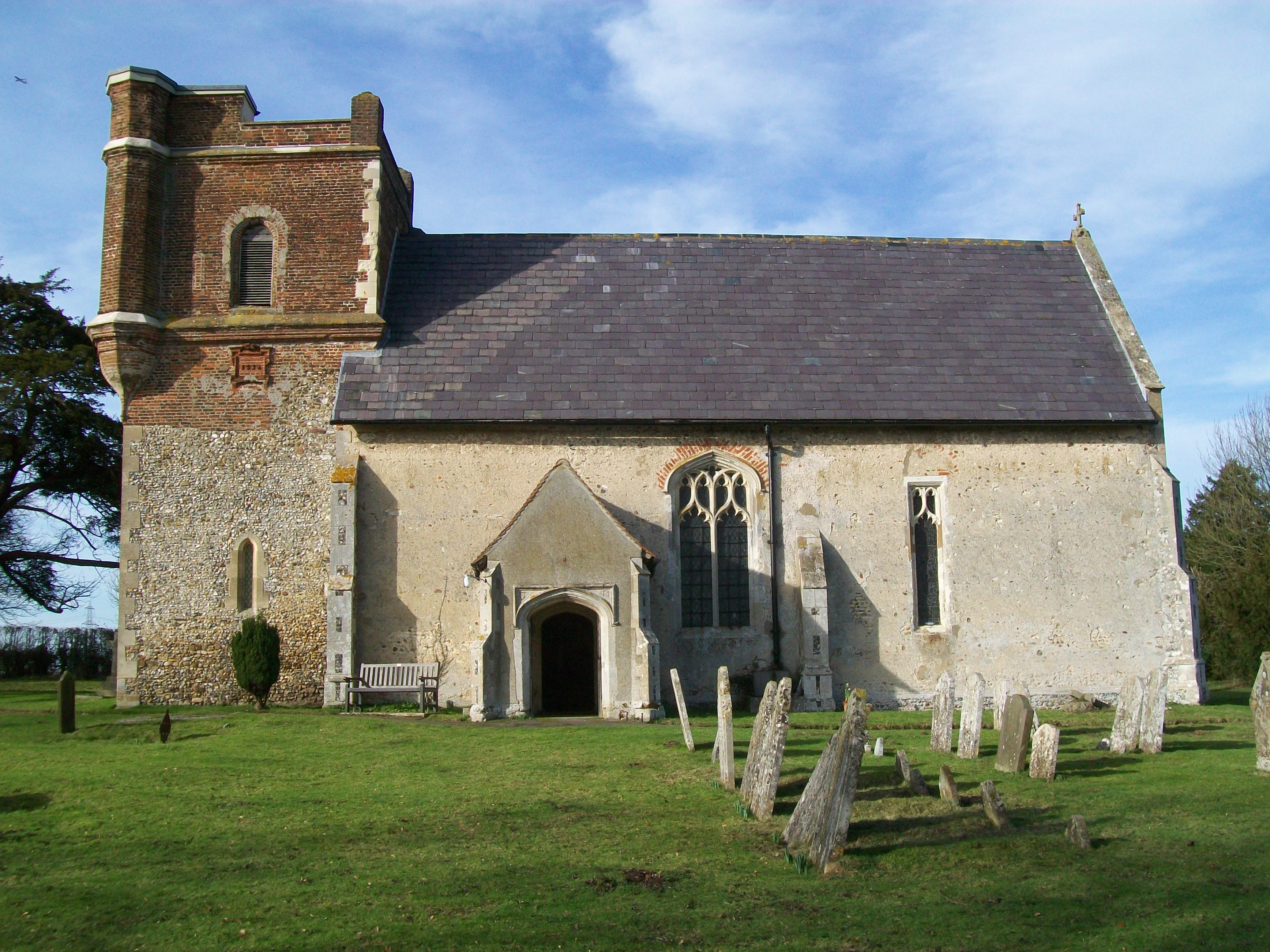
The village of Rushden itself is a small, close-knit community with a population of around 800 people. It is known for its picturesque countryside and tranquil atmosphere. The architecture in Rushden is a mix of traditional and modern styles, with some historic buildings dating back to the 17th century.

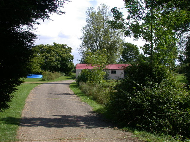
The local economy is primarily based on agriculture, with farming being a significant industry in the area. The fertile soil and favorable climate make it ideal for growing crops such as wheat, barley, and rapeseed. There are also a few small businesses and services in the village, including a post office and a village hall.

Rushden is well-connected to the surrounding areas by road, with the A505 running through the parish, providing easy access to nearby towns and cities. The village is also served by a few bus routes, offering transportation options for residents and visitors.

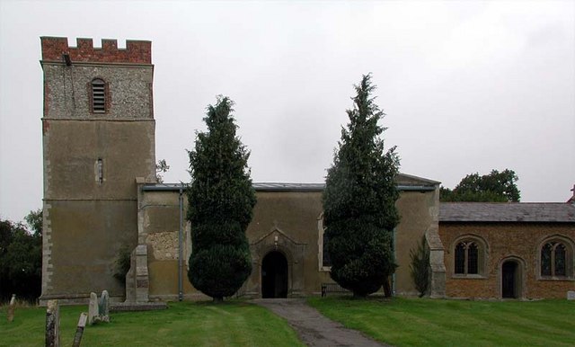
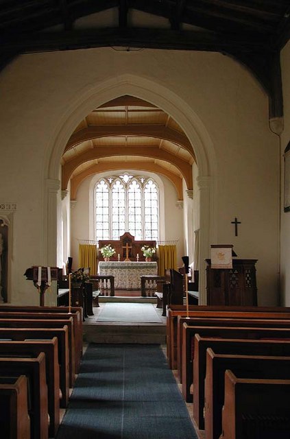
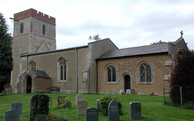
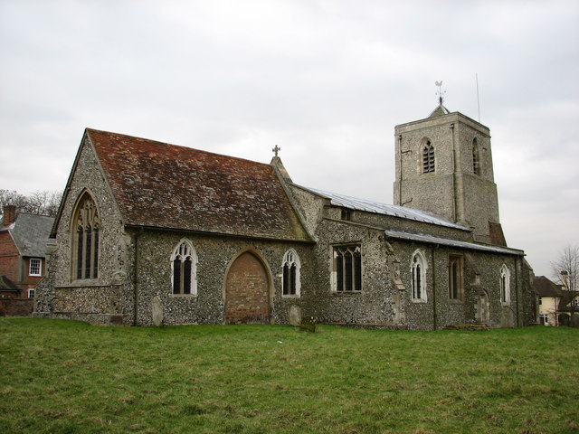
The community in Rushden is vibrant and active, with various social and recreational activities available. The village has a primary school, a church, and a pub, which serve as focal points for the local community. Additionally, there are several walking trails and outdoor spaces for residents to enjoy the natural beauty of the area.

If you have any feedback on the listing, please let us know in the comments section below.
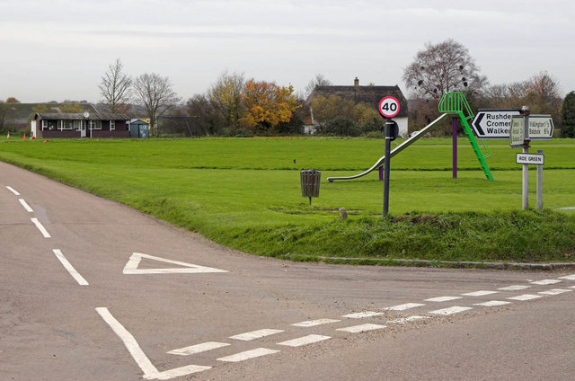
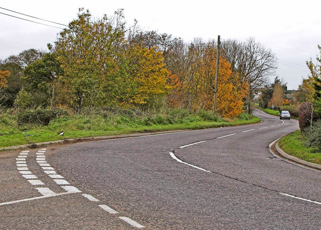
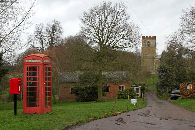
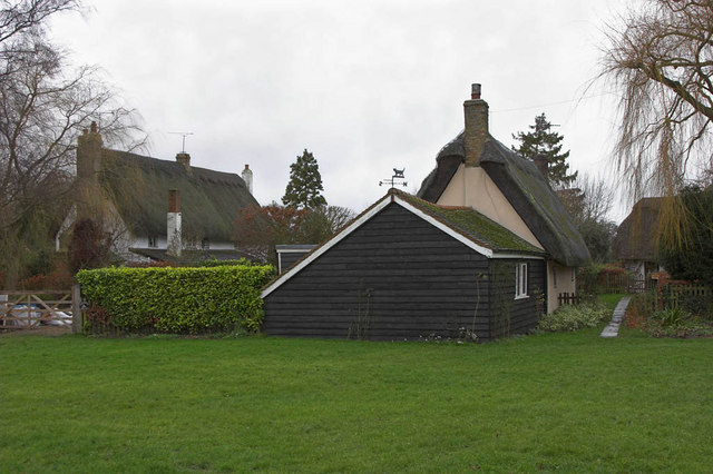
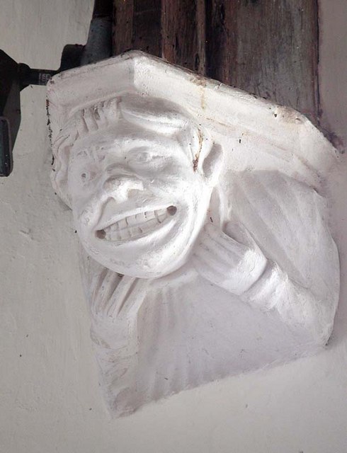
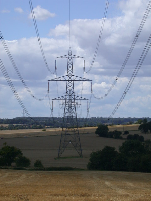
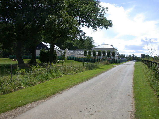
Rushden Images

Images are sourced within 2km of 51.969663/-0.094182 or Grid Reference TL3131. Thanks to Geograph Open Source API. All images are credited.

Roe Green Farm Almost hidden behind its own windbreak, Roe Green Farm can be seen.
Roe Green Farm
Almost hidden behind its own windbreak, Roe Green Farm can be seen.
Roe Green Village This is the Village of Roe Green where the housing is set back 100 mtrs or so from the roads serving the village. The village Cricket Green is seen along with the Pavilion. This is a typical layout for villages in this part of Hertfordshire and nearby Essex.
Roe Green Village
This is the Village of Roe Green where the housing is set back 100 mtrs or so from the roads serving the village. The village Cricket Green is seen along with the Pavilion. This is a typical layout for villages in this part of Hertfordshire and nearby Essex.
A507 at Cumberlow Green Looking North, the A507 winds through Cumberlow Green towards Baldock. The road to the left leads to Cromer. Just out of sight is another junction where a left turn is required to follow the A507. Many an unsuspecting driver has been caught by this where the minor road takes priority.
A507 at Cumberlow Green
Looking North, the A507 winds through Cumberlow Green towards Baldock. The road to the left leads to Cromer. Just out of sight is another junction where a left turn is required to follow the A507. Many an unsuspecting driver has been caught by this where the minor road takes priority.
Church at Rushden - Hertfordshire The Village of Rushden is located off main through roads and is very quiet. This shows the village church and other amenities - Phone and Postbox.
Church at Rushden - Hertfordshire
The Village of Rushden is located off main through roads and is very quiet. This shows the village church and other amenities - Phone and Postbox.
Thatched Cottages A pleasant surprise on reaching Southern Green, was to find this group of thatched cottages.
Thatched Cottages
A pleasant surprise on reaching Southern Green, was to find this group of thatched cottages.
Road and Footpath Junction This is where the public road becomes a series of footpath's and farm tracks. The signpost shows Offley Green to be behind the camera (to the North West).
Road and Footpath Junction
This is where the public road becomes a series of footpath's and farm tracks. The signpost shows Offley Green to be behind the camera (to the North West).
House near church, Rushden, Herts
St Mary, Rushden, Herts
St Mary, Rushden, Herts - East end
St Mary, Rushden, Herts - Corbel
St Mary, Rushden, Herts
Avenue leading to Julians Park
Julians, near Rushden Home to the Royal Artillery during WW2
Julians, near Rushden
Home to the Royal Artillery during WW2
Wood Farm, Southern Green
Lodge Farm, Southern Green
A Study in Catenary Curves
Fields by the A507 near Cumberlow Green
Rushden from the air Viewed from a flight from Prague on approach to Luton Airport.
Rushden from the air
Viewed from a flight from Prague on approach to Luton Airport.
Show me another place!

Rushden is located at Grid Ref: TL3131 (Lat: 51.969663, Lng: -0.094182)

Administrative County: Hertfordshire

District: North Hertfordshire

Police Authority: Hertfordshire

What 3 Words

///legal.ditching.released. Near Buntingford, Hertfordshire

Nearby Locations

Southern Green Rushden

Related Wikis

Rushden, Hertfordshire

Rushden is a small village and civil parish which forms part of the grouped parish council of Rushden and Wallington in the North Hertfordshire district...

Broadfield, Hertfordshire

Broadfield is a hamlet and former civil parish, now in the parish of Cottered, in the East Hertfordshire district, in the county of Hertfordshire, England...

Cottered

Cottered is a village and civil parish 3 miles (4.8 km) west of Buntingford and 6 miles (9.7 km) east of Baldock in the East Hertfordshire District of...

Blagrove Common

Blagrove Common is a 4.0-hectare (9.9-acre) Site of Special Scientific Interest in Green End near Sandon in Hertfordshire. It is managed by the Hertfordshire...

Wallington, Hertfordshire

Wallington is a small village and civil parish in the North Hertfordshire district, in the county of Hertfordshire, England, near the town of Baldock....

Sandon, Hertfordshire

Sandon is a village and civil parish in the North Hertfordshire district, in the county of Hertfordshire, England. Sandon is located near the towns of...

All Saints' Church, Sandon

All Saints' Church is a Church of England Parish Church in Sandon, Hertfordshire, England. It is listed Grade I. == History == At the time of the Domesday...

Throcking

Throcking is a village and former civil parish, now in the parish of Cottered, in the East Hertfordshire district, in the county of Hertfordshire, England...

Nearby Amenities

Located within 500m of 51.969663,-0.094182
Barrier: kissing_gate
Foot: yes
Source: GPS
Lat/Long: 51.9692013/-0.0988616
Barrier: kissing_gate
Source: GPS
Lat/Long: 51.9689127/-0.100557
Barrier: kissing_gate
Source: GPS
Lat/Long: 51.9691431/-0.0961955
Post Box
Southern Green
Collection Times: Mo-Fr 17:45; Sa 08:00
Ref: SG9 125
Lat/Long: 51.9674947/-0.0931146
Material: wood
Power: pole
Lat/Long: 51.9721125/-0.0886739
Power: pole
Lat/Long: 51.9710013/-0.0915264
Power: pole
Lat/Long: 51.9693067/-0.0899774
Power: pole
Lat/Long: 51.9701201/-0.0898734
Power: pole
Lat/Long: 51.9709129/-0.0897427
Power: pole
Lat/Long: 51.9715705/-0.0901008
The data included in this document is from www.openstreetmap.org. The data is made available under ODbL.

Have you been to Rushden?

Leave your review of Rushden below (or comments, questions and feedback).