Southernby
Settlement in Cumberland Eden
England
Southernby
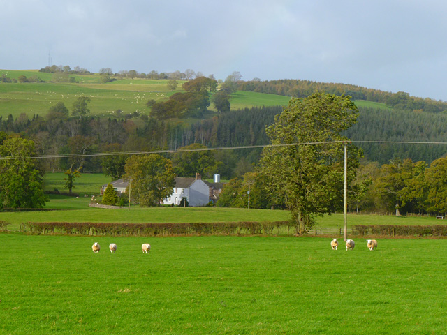
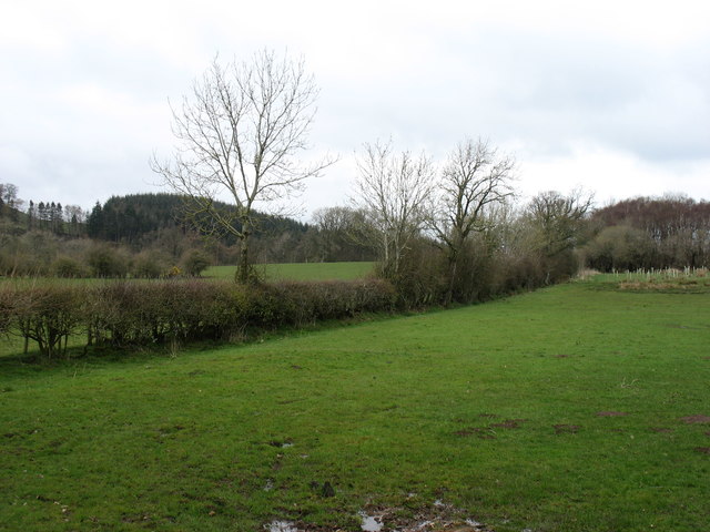
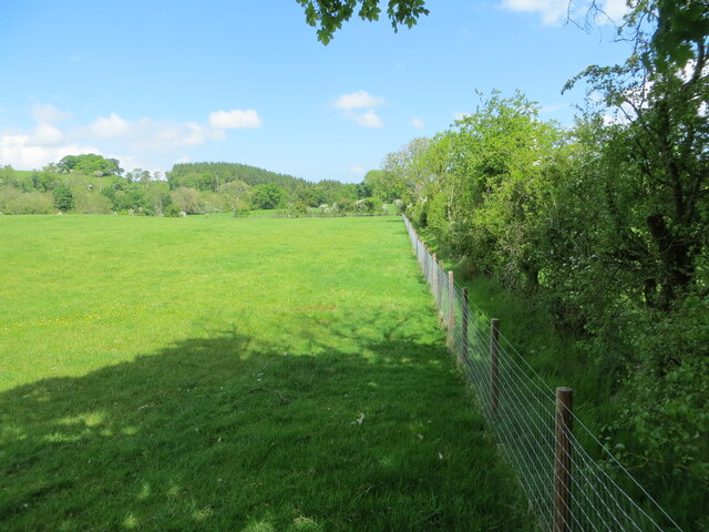
Southernby is a small village located in the picturesque county of Cumberland, England. Situated in the northern part of the county, Southernby is nestled within the stunning countryside, surrounded by rolling hills and lush green fields. The village is known for its tranquil and idyllic setting, providing residents and visitors with a peaceful retreat from the hustle and bustle of city life.
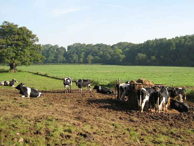
With a population of just over 500 people, Southernby maintains its rural charm and close-knit community spirit. The village is comprised of a collection of traditional stone cottages and farmhouses, giving it a timeless and classic appeal. The local economy is primarily based on agriculture, with many residents involved in farming and livestock rearing.
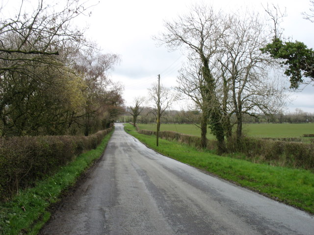
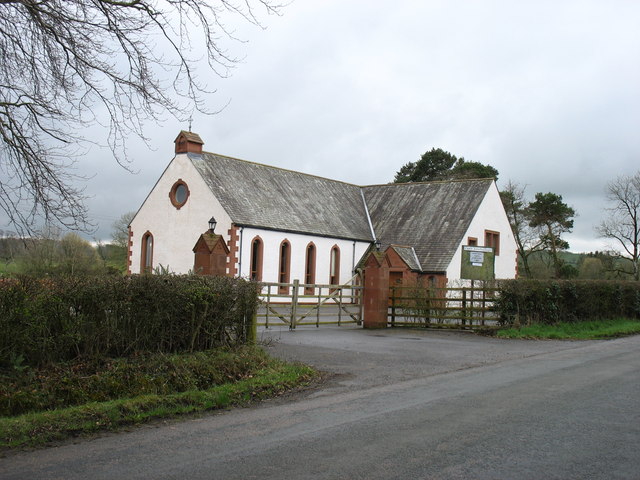
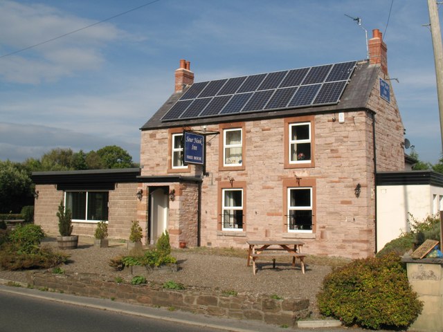
Southernby boasts a few essential amenities, including a village hall, a quaint church, and a local pub that serves as a hub for social gatherings and community events. Although small in size, the village is well-connected to the surrounding areas through a network of well-maintained roads, allowing for easy access to nearby towns and cities.
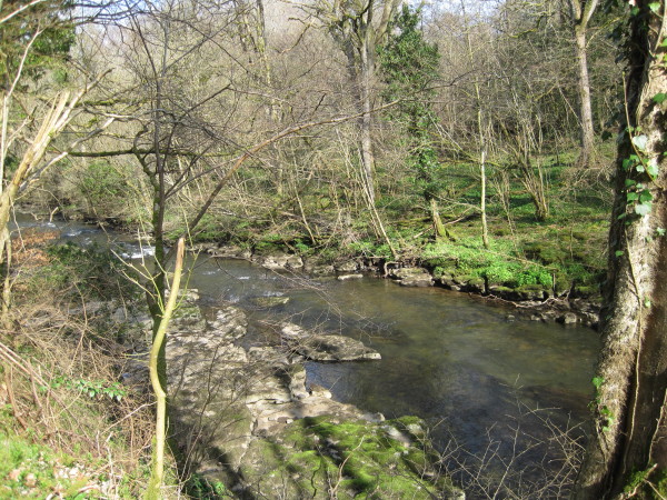
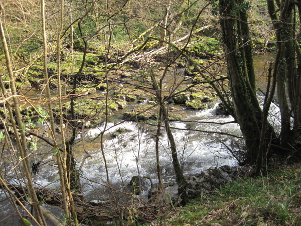
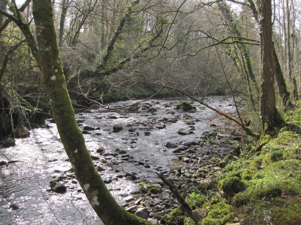
Nature enthusiasts will find themselves in awe of the natural beauty that surrounds Southernby. The village is situated near several nature reserves and hiking trails, offering ample opportunities for outdoor activities such as walking, cycling, and bird-watching.
Overall, Southernby is a charming and peaceful village, perfect for those seeking a serene countryside lifestyle. Its stunning landscapes, close community bond, and easy access to nature make it a truly desirable place to live or visit.
If you have any feedback on the listing, please let us know in the comments section below.
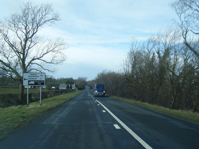
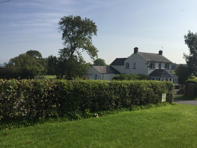
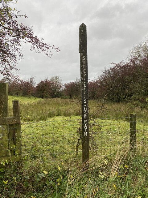
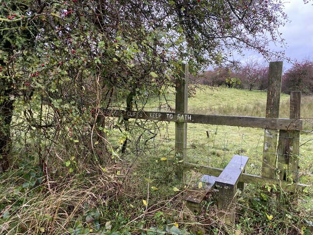
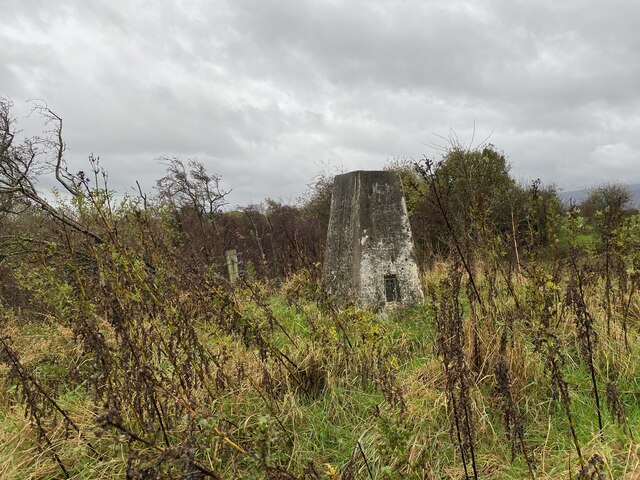
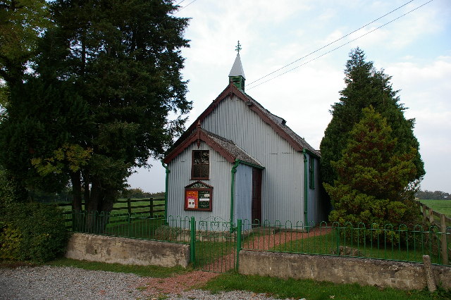
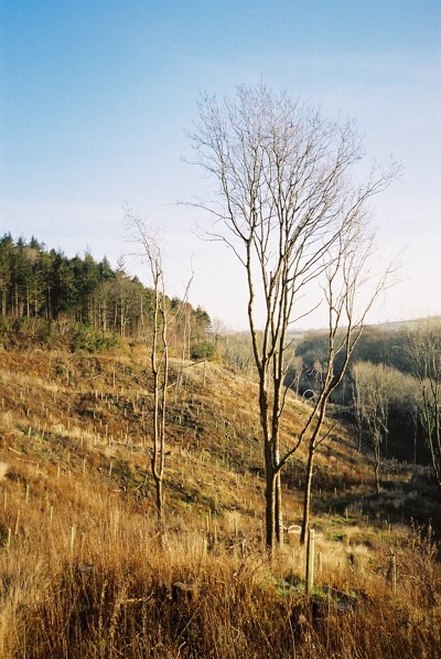
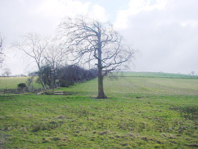
Southernby Images
Images are sourced within 2km of 54.745099/-2.987959 or Grid Reference NY3639. Thanks to Geograph Open Source API. All images are credited.
Southernby is located at Grid Ref: NY3639 (Lat: 54.745099, Lng: -2.987959)
Administrative County: Cumbria
District: Eden
Police Authority: Cumbria
What 3 Words
///prowling.discouraged.smarter. Near Dalston, Cumbria
Nearby Locations
Related Wikis

Cumberland
Cumberland ( KUM-bər-lənd) is a historic county in North West England, covering part of the Lake District as well as the northern Pennines and the coast...

Sebergham
Sebergham is a small village and civil parish in the English county of Cumbria. It is located on the B5305, south of Carlisle and south-east of Wigton...

Hesket Newmarket
Hesket Newmarket is a small village in Cumbria, England, historically within Cumberland. It is on the opposite side of Skiddaw to Keswick within the Lake...

Castle Sowerby
Castle Sowerby is a civil parish in the Eden District of Cumbria, England. In 2001 it had a population of 337, increasing to 344 at the 2011 Census, and...
Nearby Amenities
Located within 500m of 54.745099,-2.987959Have you been to Southernby?
Leave your review of Southernby below (or comments, questions and feedback).