Southdean

Settlement in Roxburghshire

Scotland

Southdean

Ordnance Survey Flush Bracket (11415) This OS Flush Bracket can be found on the NE parapet of the bridge. It marks a point 205.637m above mean sea level.
Ordnance Survey Flush Bracket (11415) Credit: Adrian Dust

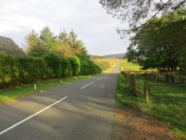
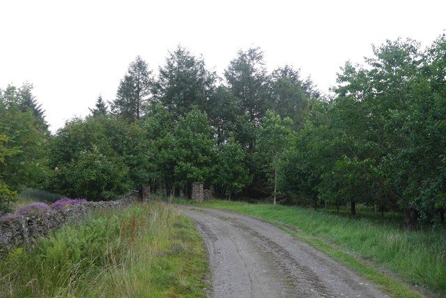
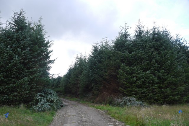
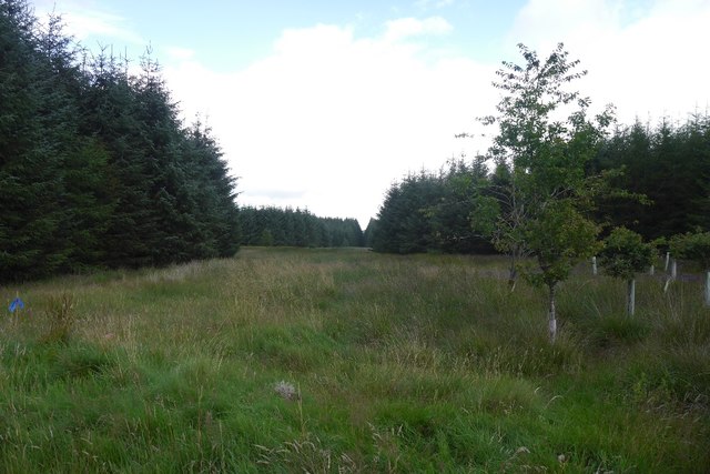
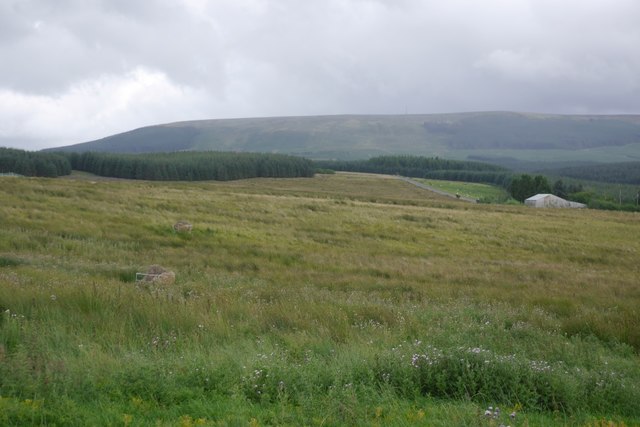
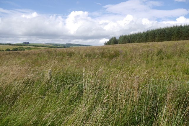
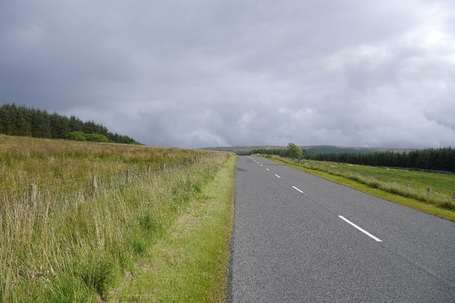
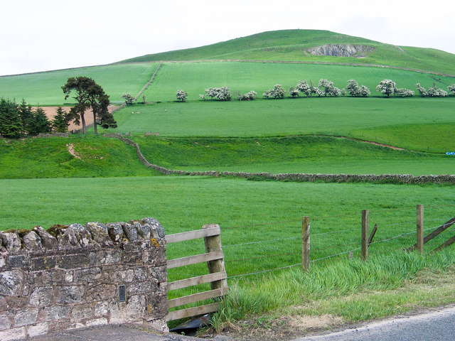
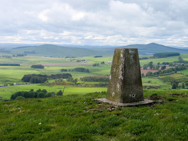
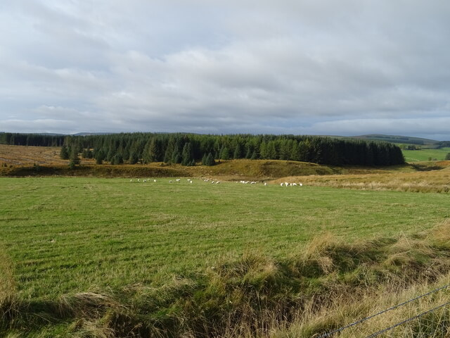
Southdean is a small village located in the Scottish Borders region of Roxburghshire. Situated near the England-Scotland border, Southdean is known for its picturesque countryside and rural charm. The village is surrounded by rolling hills and farmland, making it an ideal location for those seeking a peaceful retreat away from the hustle and bustle of city life.

Southdean is home to a close-knit community of residents who take pride in their village and its heritage. The village has a historic church, a local pub, and a primary school, providing essential amenities for its residents. The surrounding area offers opportunities for outdoor activities such as hiking, cycling, and fishing, making it a popular destination for nature enthusiasts.

Despite its small size, Southdean has a rich history dating back to medieval times. The village has a number of listed buildings and historic sites, including the ruins of Southdean Tower, a 16th-century fortified house. Visitors to Southdean can explore the village's history through guided tours and heritage walks, as well as enjoy the natural beauty of the surrounding countryside.

If you have any feedback on the listing, please let us know in the comments section below.
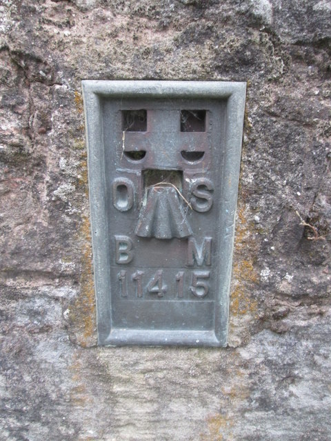
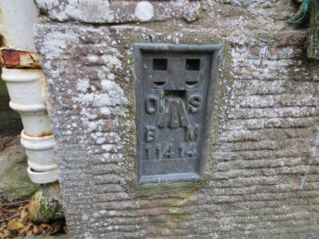
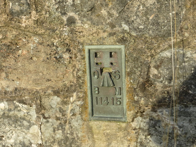
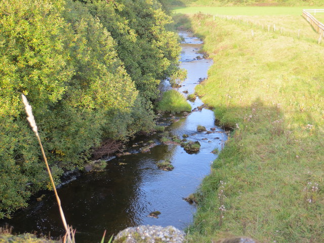
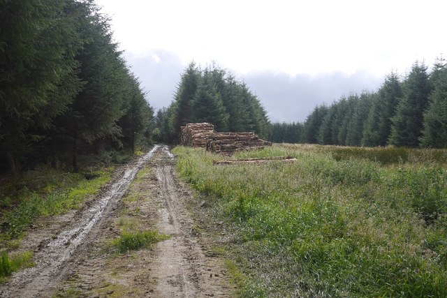
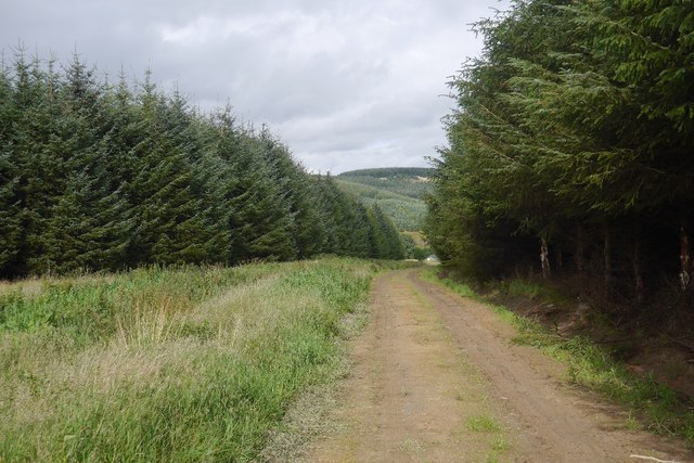
Southdean Images

Images are sourced within 2km of 55.374397/-2.576558 or Grid Reference NT6309. Thanks to Geograph Open Source API. All images are credited.

Ordnance Survey Flush Bracket (11415) This OS Flush Bracket can be found on the NE parapet of the bridge. It marks a point 205.637m above mean sea level.
Ordnance Survey Flush Bracket (11415)
This OS Flush Bracket can be found on the NE parapet of the bridge. It marks a point 205.637m above mean sea level.
Ordnance Survey Cut Mark This OS cut mark can be found on the old bridge over the Jed Water. It marks a point 192.063m above mean sea level.
Ordnance Survey Cut Mark
This OS cut mark can be found on the old bridge over the Jed Water. It marks a point 192.063m above mean sea level.
Ordnance Survey Flush Bracket 11414 This can be found on the wall of a cottage - a private dwelling - at Charlies Hill.
For more detail see : <span class="nowrap"><a title="http://www.bench-marks.org.uk/bm11884" rel="nofollow ugc noopener" href="http://www.bench-marks.org.uk/bm11884">Link</a><img style="margin-left:2px;" alt="External link" title="External link - shift click to open in new window" src="https://s1.geograph.org.uk/img/external.png" width="10" height="10"/></span>
Ordnance Survey Flush Bracket 11414
This can be found on the wall of a cottage - a private dwelling - at Charlies Hill. For more detail see : LinkExternal link
Road (A6088) at Charlies Hill Looking north-westward from cottage entrance.
Road (A6088) at Charlies Hill
Looking north-westward from cottage entrance.
Ordnance Survey Flush Bracket 11415 This can be found on the road bridge over Jed Water at Southdean.
For more detail see : <span class="nowrap"><a title="http://www.bench-marks.org.uk/bm561" rel="nofollow ugc noopener" href="http://www.bench-marks.org.uk/bm561">Link</a><img style="margin-left:2px;" alt="External link" title="External link - shift click to open in new window" src="https://s1.geograph.org.uk/img/external.png" width="10" height="10"/></span>
Ordnance Survey Flush Bracket 11415
This can be found on the road bridge over Jed Water at Southdean. For more detail see : LinkExternal link
Jed Water from the A68 Road Bridge at Southdean Looking north-eastward.
Jed Water from the A68 Road Bridge at Southdean
Looking north-eastward.
Logging road, Waterside Thinning in progress in the woodlands south of the Jed Water. All through the struggle along the riverbank I could hear machinery at work somewhere in the forest and was worried about getting out along this road.  After a delay for a puncture repair I was able to get through with the work taking place in the trees to the left.

The road was rather muddy.
Logging road, Waterside
Thinning in progress in the woodlands south of the Jed Water. All through the struggle along the riverbank I could hear machinery at work somewhere in the forest and was worried about getting out along this road. After a delay for a puncture repair I was able to get through with the work taking place in the trees to the left. The road was rather muddy.
Road to Waterside A forest road which was being used in thinning operations and also gives access to a building beside the Jed Water.
Road to Waterside
A forest road which was being used in thinning operations and also gives access to a building beside the Jed Water.
Road to Waterside Gate pillars on a forest road. It leads to a wooden building beside the Gala Water.
Road to Waterside
Gate pillars on a forest road. It leads to a wooden building beside the Gala Water.
Road from Waterside A forest road with evidence of recent thinning.
Road from Waterside
A forest road with evidence of recent thinning.
Unplanted strip A very wide ride, left unplanted in the conifer plantations to the north of Waterside.
Unplanted strip
A very wide ride, left unplanted in the conifer plantations to the north of Waterside.
Track near Southdean The newly surfaced track links the A6088 with the forest road within the plantations around the Jed Water.
Track near Southdean
The newly surfaced track links the A6088 with the forest road within the plantations around the Jed Water.
Rough grazing, Charlie's Hill View towards Carter Fell.
Rough grazing, Charlie's Hill
View towards Carter Fell.
Steele Knowe Some very rough grassland between the plantations and road.
Steele Knowe
Some very rough grassland between the plantations and road.
A6088, Steele Knowe A quiet road which links Hawick and Carter Bar.
A6088, Steele Knowe
A quiet road which links Hawick and Carter Bar.
Flush bracket on bridge parapet The parapet is of the bridge carrying the A6088 over the Jed Water; the flush bracket number is 11415.
Southdean Hill rises beyond.
Flush bracket on bridge parapet
The parapet is of the bridge carrying the A6088 over the Jed Water; the flush bracket number is 11415. Southdean Hill rises beyond.
Trig point on Southdean Law The trig point has flush bracket number S7689. Rubers Law is the dark hill above the pillar.
Trig point on Southdean Law
The trig point has flush bracket number S7689. Rubers Law is the dark hill above the pillar.
Sheep grazing and woodland near Charlies Hill
Show me another place!

Southdean is located at Grid Ref: NT6309 (Lat: 55.374397, Lng: -2.576558)

Unitary Authority: The Scottish Borders

Police Authority: The Lothians and Scottish Borders

What 3 Words

///dynamics.birthing.private. Near Jedburgh, Scottish Borders

Related Wikis

Southdean

Southdean is a hamlet in the Scottish Borders area of Scotland, on the A6088, by the Jed Water and in the Wauchope Forest area. Other settlements nearby...

Abbotrule

Abbotrule is a hamlet south of the B6357 road, in the Scottish Borders area of Scotland, on Rule Burn, east of the Rule Water. Places nearby include Bedrule...

Hobkirk

Hobkirk (Scottish Gaelic: Eaglais Ruail) is a village and civil parish in the Scottish Borders area of Scotland, by the Rule Water, south-west of Jedburgh...

Wauchope, Scottish Borders

Wauchope is a hamlet in the Scottish Borders council area of Scotland, near Southdean. Wauchope House was demolished in 1932. == See also == Wauchope Forest...

Nearby Amenities

Located within 500m of 55.374397,-2.576558
Natural: peak
Lat/Long: 55.3774426/-2.5749436
Southdean
Place: hamlet
Lat/Long: 55.3752518/-2.5832489
Power: pole
Lat/Long: 55.3744391/-2.583457
Power: pole
Lat/Long: 55.3739489/-2.5832356
Power: pole
Lat/Long: 55.3734514/-2.5829858
Power: pole
Lat/Long: 55.3733958/-2.5819584
Power: pole
Lat/Long: 55.3733461/-2.5809541
Power: pole
Lat/Long: 55.3732898/-2.5799911
Power: pole
Lat/Long: 55.3732122/-2.5785543
Power: pole
Lat/Long: 55.3731603/-2.5773247
Power: pole
Lat/Long: 55.3730827/-2.5759677
Power: pole
Lat/Long: 55.373014/-2.5746107
Power: pole
Lat/Long: 55.3729584/-2.5735653
Power: pole
Lat/Long: 55.3728954/-2.5724117
Power: pole
Lat/Long: 55.3728354/-2.5713431
Power: pole
Lat/Long: 55.3727842/-2.5703826
Power: pole
Lat/Long: 55.3727272/-2.5692367
Power: pole
Lat/Long: 55.3742767/-2.5821888
Power: pole
Lat/Long: 55.3752021/-2.5841561
The data included in this document is from www.openstreetmap.org. The data is made available under ODbL.

Have you been to Southdean?

Leave your review of Southdean below (or comments, questions and feedback).