Southdean Law

Hill, Mountain in Roxburghshire

Scotland

Southdean Law

Ordnance Survey Flush Bracket (11415) This OS Flush Bracket can be found on the NE parapet of the bridge. It marks a point 205.637m above mean sea level.
Ordnance Survey Flush Bracket (11415) Credit: Adrian Dust

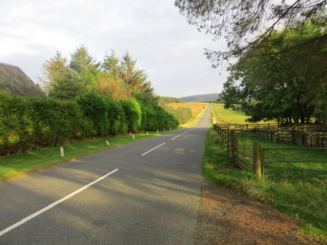
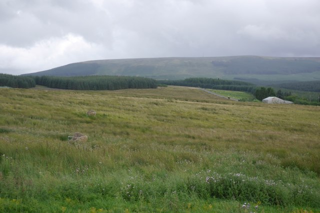
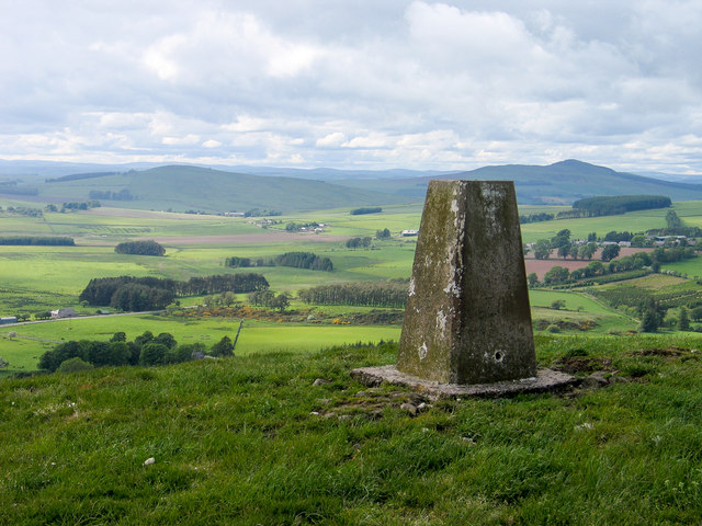
Located in the region of Roxburghshire, Scotland, Southdean Law is a prominent hill or mountain that stands at an elevation of approximately 459 meters (1,506 feet). Situated in the southern uplands of the country, it offers breathtaking views and is a popular destination for outdoor enthusiasts and hikers.

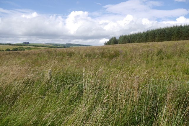
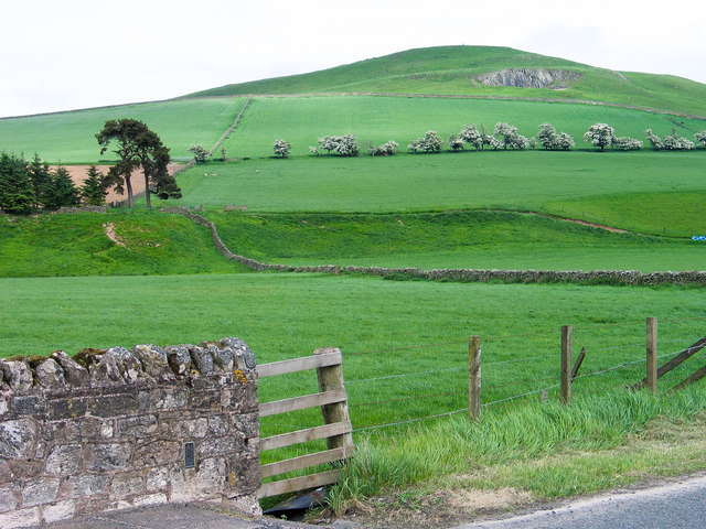
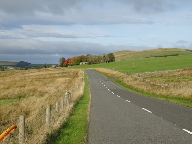
Southdean Law is part of a range of hills known as the Cheviots, which straddle the border between Scotland and England. These hills are characterized by their rolling slopes, heather-covered moorlands, and rocky outcrops. The summit of Southdean Law provides visitors with a panoramic vista of the surrounding countryside, including the picturesque views of the Cheviot Hills.

The hill is accessible via various footpaths and trails that wind through the Cheviots. The ascent to the summit can be challenging, with some steep sections and uneven terrain, but the rewarding views make it worth the effort.

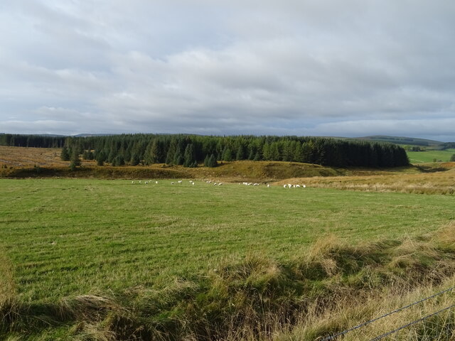
The area surrounding Southdean Law is rich in biodiversity, with a diverse range of plant and animal species. The moorlands are home to numerous birds, including red grouse, curlews, and golden plovers. Visitors may also encounter other wildlife such as hares, rabbits, and roe deer while exploring the hill.

Southdean Law is not only a natural gem but also holds historical significance. It is believed to have been used as a beacon site in ancient times, serving as a signal point for communication or warning purposes.

Overall, Southdean Law stands as a beautiful and historically significant hill in Roxburghshire, offering visitors the chance to immerse themselves in the natural splendor of the Scottish uplands.

If you have any feedback on the listing, please let us know in the comments section below.

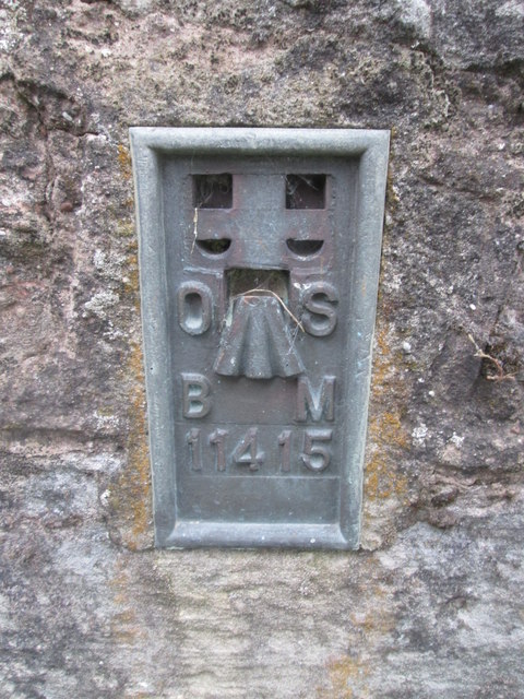
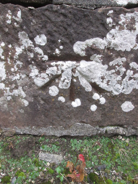
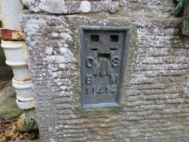
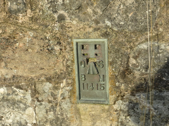
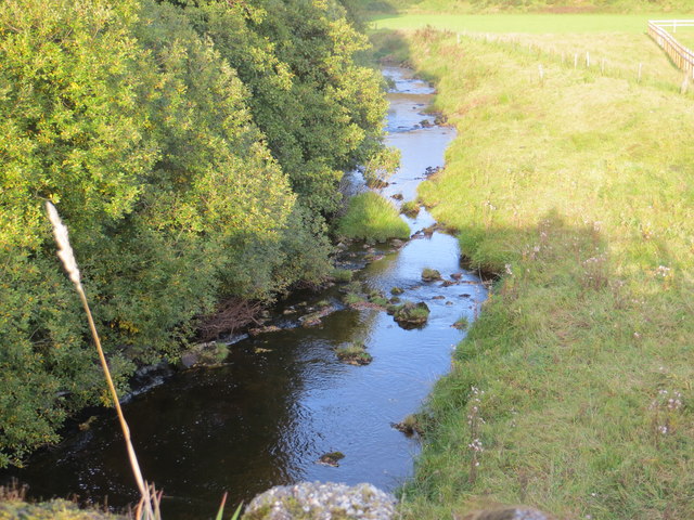
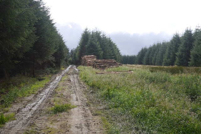
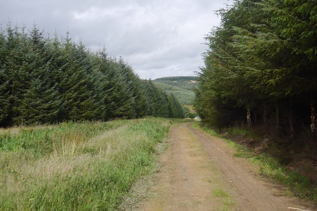
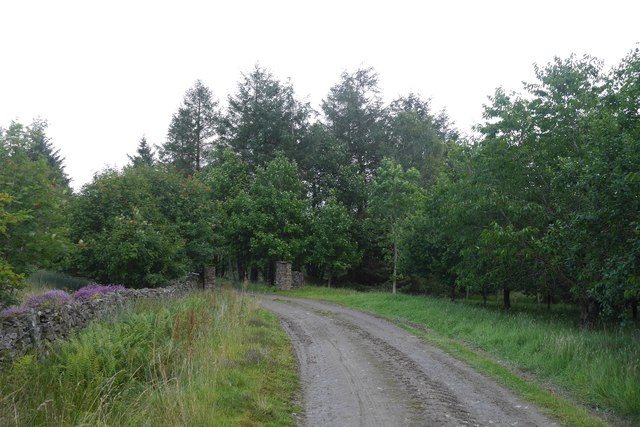
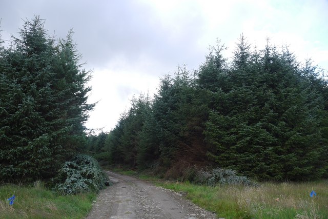
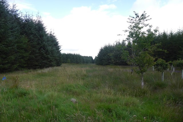
Southdean Law Images

Images are sourced within 2km of 55.377499/-2.5741571 or Grid Reference NT6309. Thanks to Geograph Open Source API. All images are credited.

Ordnance Survey Flush Bracket (11415) This OS Flush Bracket can be found on the NE parapet of the bridge. It marks a point 205.637m above mean sea level.
Ordnance Survey Flush Bracket (11415)
This OS Flush Bracket can be found on the NE parapet of the bridge. It marks a point 205.637m above mean sea level.
Ordnance Survey Cut Mark This OS cut mark can be found on the old bridge over the Jed Water. It marks a point 192.063m above mean sea level.
Ordnance Survey Cut Mark
This OS cut mark can be found on the old bridge over the Jed Water. It marks a point 192.063m above mean sea level.
Ordnance Survey Flush Bracket 11414 This can be found on the wall of a cottage - a private dwelling - at Charlies Hill.
For more detail see : <span class="nowrap"><a title="http://www.bench-marks.org.uk/bm11884" rel="nofollow ugc noopener" href="http://www.bench-marks.org.uk/bm11884">Link</a><img style="margin-left:2px;" alt="External link" title="External link - shift click to open in new window" src="https://s1.geograph.org.uk/img/external.png" width="10" height="10"/></span>
Ordnance Survey Flush Bracket 11414
This can be found on the wall of a cottage - a private dwelling - at Charlies Hill. For more detail see : LinkExternal link
Road (A6088) at Charlies Hill Looking north-westward from cottage entrance.
Road (A6088) at Charlies Hill
Looking north-westward from cottage entrance.
Ordnance Survey Flush Bracket 11415 This can be found on the road bridge over Jed Water at Southdean.
For more detail see : <span class="nowrap"><a title="http://www.bench-marks.org.uk/bm561" rel="nofollow ugc noopener" href="http://www.bench-marks.org.uk/bm561">Link</a><img style="margin-left:2px;" alt="External link" title="External link - shift click to open in new window" src="https://s1.geograph.org.uk/img/external.png" width="10" height="10"/></span>
Ordnance Survey Flush Bracket 11415
This can be found on the road bridge over Jed Water at Southdean. For more detail see : LinkExternal link
Jed Water from the A68 Road Bridge at Southdean Looking north-eastward.
Jed Water from the A68 Road Bridge at Southdean
Looking north-eastward.
Logging road, Waterside Thinning in progress in the woodlands south of the Jed Water. All through the struggle along the riverbank I could hear machinery at work somewhere in the forest and was worried about getting out along this road.  After a delay for a puncture repair I was able to get through with the work taking place in the trees to the left.

The road was rather muddy.
Logging road, Waterside
Thinning in progress in the woodlands south of the Jed Water. All through the struggle along the riverbank I could hear machinery at work somewhere in the forest and was worried about getting out along this road. After a delay for a puncture repair I was able to get through with the work taking place in the trees to the left. The road was rather muddy.
Road to Waterside A forest road which was being used in thinning operations and also gives access to a building beside the Jed Water.
Road to Waterside
A forest road which was being used in thinning operations and also gives access to a building beside the Jed Water.
Road to Waterside Gate pillars on a forest road. It leads to a wooden building beside the Gala Water.
Road to Waterside
Gate pillars on a forest road. It leads to a wooden building beside the Gala Water.
Road from Waterside A forest road with evidence of recent thinning.
Road from Waterside
A forest road with evidence of recent thinning.
Unplanted strip A very wide ride, left unplanted in the conifer plantations to the north of Waterside.
Unplanted strip
A very wide ride, left unplanted in the conifer plantations to the north of Waterside.
Track near Southdean The newly surfaced track links the A6088 with the forest road within the plantations around the Jed Water.
Track near Southdean
The newly surfaced track links the A6088 with the forest road within the plantations around the Jed Water.
Rough grazing, Charlie's Hill View towards Carter Fell.
Rough grazing, Charlie's Hill
View towards Carter Fell.
Steele Knowe Some very rough grassland between the plantations and road.
Steele Knowe
Some very rough grassland between the plantations and road.
Flush bracket on bridge parapet The parapet is of the bridge carrying the A6088 over the Jed Water; the flush bracket number is 11415.
Southdean Hill rises beyond.
Flush bracket on bridge parapet
The parapet is of the bridge carrying the A6088 over the Jed Water; the flush bracket number is 11415. Southdean Hill rises beyond.
Trig point on Southdean Law The trig point has flush bracket number S7689. Rubers Law is the dark hill above the pillar.
Trig point on Southdean Law
The trig point has flush bracket number S7689. Rubers Law is the dark hill above the pillar.
Sheep grazing and woodland near Charlies Hill
A6088 towards Chesters
Show me another place!

Southdean Law is located at Grid Ref: NT6309 (Lat: 55.377499, Lng: -2.5741571)

Unitary Authority: The Scottish Borders

Police Authority: The Lothians and Scottish Borders

What 3 Words

///bridges.scatters.saved. Near Jedburgh, Scottish Borders

Related Wikis

Southdean

Southdean is a hamlet in the Scottish Borders area of Scotland, on the A6088, by the Jed Water and in the Wauchope Forest area. Other settlements nearby...

Abbotrule

Abbotrule is a hamlet south of the B6357 road, in the Scottish Borders area of Scotland, on Rule Burn, east of the Rule Water. Places nearby include Bedrule...

Hobkirk

Hobkirk (Scottish Gaelic: Eaglais Ruail) is a village and civil parish in the Scottish Borders area of Scotland, by the Rule Water, south-west of Jedburgh...

Wauchope, Scottish Borders

Wauchope is a hamlet in the Scottish Borders council area of Scotland, near Southdean. Wauchope House was demolished in 1932. == See also == Wauchope Forest...

Nearby Amenities

Located within 500m of 55.377499,-2.5741571
Natural: peak
Lat/Long: 55.3774426/-2.5749436
Power: pole
Lat/Long: 55.373014/-2.5746107
The data included in this document is from www.openstreetmap.org. The data is made available under ODbL.

Have you been to Southdean Law?

Leave your review of Southdean Law below (or comments, questions and feedback).