Crabtree Hill

Hill, Mountain in Gloucestershire Forest of Dean

England

Crabtree Hill

Forest track Forest track in Serridge Inclosure in the Forest of Dean.
Forest track Credit: Philip Halling

Crabtree Hill is a prominent hill located in the county of Gloucestershire, England. Rising to an elevation of approximately 295 meters (968 feet), it forms part of the picturesque Cotswold Hills, a designated Area of Outstanding Natural Beauty. Situated near the village of Compton Abdale, the hill offers breathtaking panoramic views of the surrounding countryside.

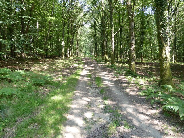
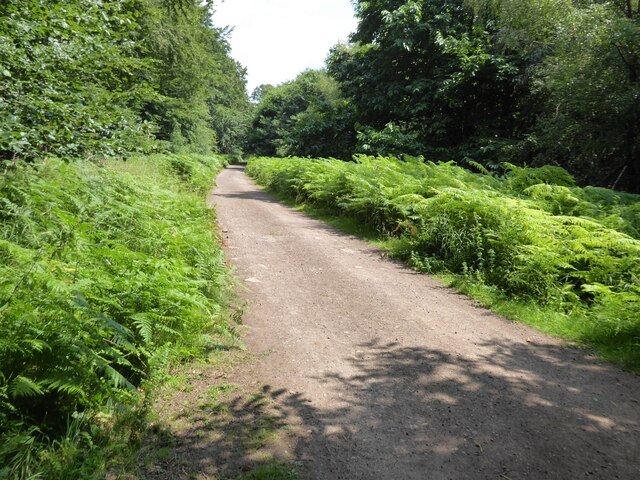
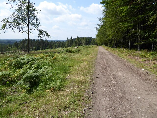
The terrain of Crabtree Hill is characterized by gentle slopes covered in lush green grass and scattered with patches of shrubs and trees. The vegetation consists mainly of native species such as oak, beech, and hawthorn, which add to the natural beauty of the area. The hilltop is often adorned with vibrant wildflowers during the summer months, attracting various species of butterflies and bees.

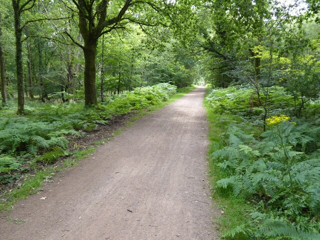
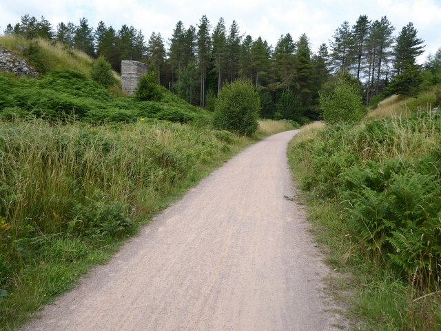
Crabtree Hill is a popular destination for hikers and nature enthusiasts, offering several well-marked trails that lead to its summit. Visitors can enjoy a leisurely walk along these paths, taking in the stunning vistas of the rolling Cotswold landscape. The hill also provides a habitat for diverse wildlife, including roe deer, foxes, and a variety of bird species, making it a haven for birdwatchers.

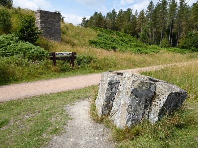
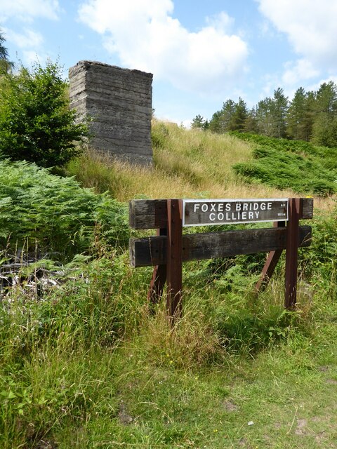
Aside from its natural attractions, Crabtree Hill also holds historical significance. The area surrounding the hill boasts traces of ancient settlements, with archaeological discoveries dating back to the Iron Age. These remnants add an extra layer of intrigue and fascination to the hill, attracting history enthusiasts and archaeologists alike.

Overall, Crabtree Hill in Gloucestershire offers a captivating blend of natural beauty, recreational opportunities, and historical significance, making it a must-visit destination for those seeking a tranquil escape in the heart of the Cotswolds.

If you have any feedback on the listing, please let us know in the comments section below.

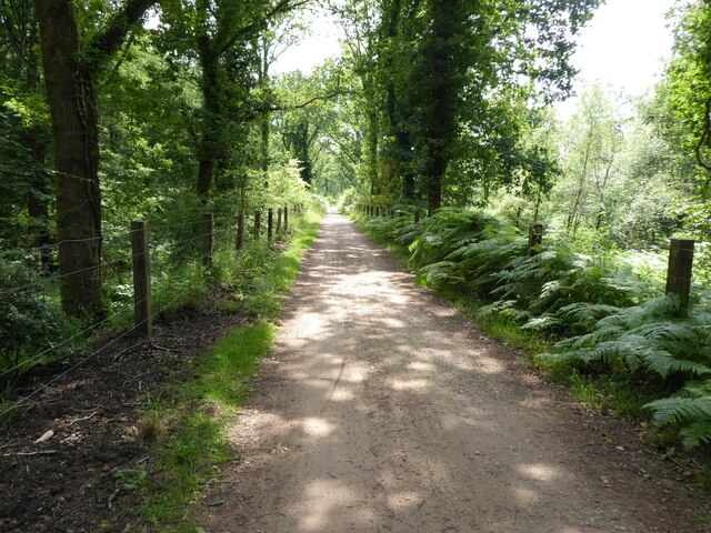
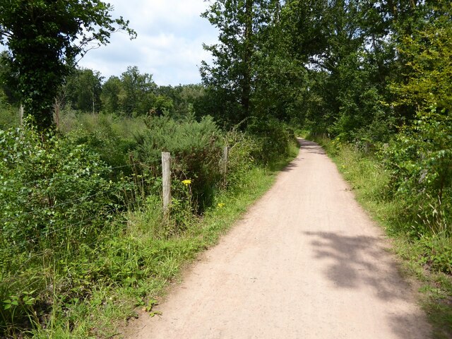
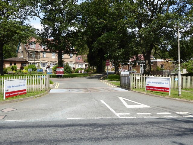
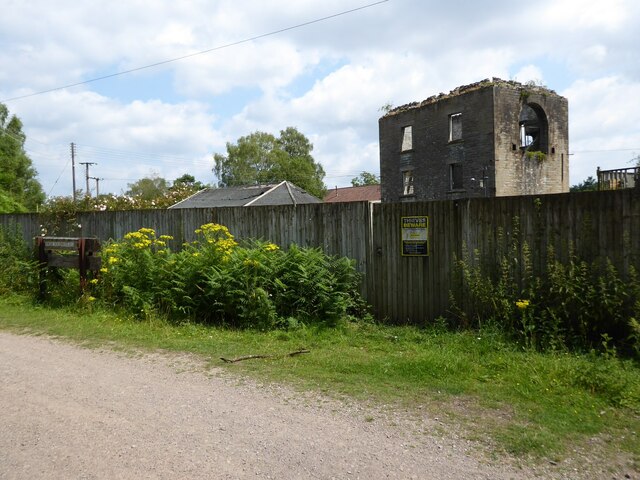
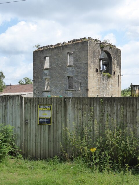
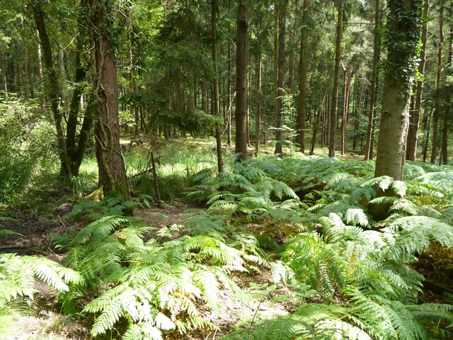
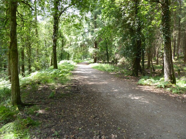
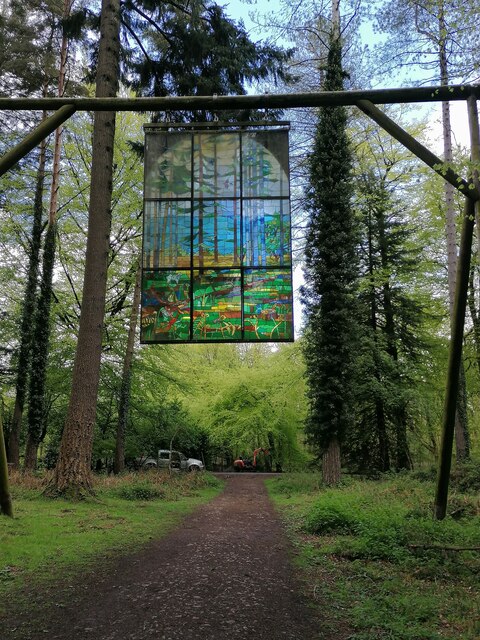
Crabtree Hill Images

Images are sourced within 2km of 51.81741/-2.5280005 or Grid Reference SO6313. Thanks to Geograph Open Source API. All images are credited.

Forest track Forest track in Serridge Inclosure in the Forest of Dean.
Forest track
Forest track in Serridge Inclosure in the Forest of Dean.
The Wysis Way The Wysis Way following a track in Serridge Inclosure.  The Wysis Way is a long distance path connecting Offa's Dyke and the start of the Thames Path.
The Wysis Way
The Wysis Way following a track in Serridge Inclosure. The Wysis Way is a long distance path connecting Offa's Dyke and the start of the Thames Path.
Forest track Forest track near Serridge Green in the Forest of Dean.
Forest track
Forest track near Serridge Green in the Forest of Dean.
Area of clearfell Area of clearfell at Serridge Green.  With the trees felled there are extensive views over the forest.
Area of clearfell
Area of clearfell at Serridge Green. With the trees felled there are extensive views over the forest.
Hicksters Ways bat roost A fabricated bat roost at Hicksters Ways in the Forest of Dean.
Hicksters Ways bat roost
A fabricated bat roost at Hicksters Ways in the Forest of Dean.
Cycleway and former railway Cycleway and former railway trackbed passing through Crabtreehill Plantation in the Forest of Dean.
Cycleway and former railway
Cycleway and former railway trackbed passing through Crabtreehill Plantation in the Forest of Dean.
Site of Foxes Bridge Colliery Former railway track and now a cycleway passing through the site of Foxes Bridge Colliery.  Trees have been felled since I last photographed this site just over seven years ago <a href="https://www.geograph.org.uk/photo/3954592">SO6313 : Foxes Bridge Colliery</a>.
Site of Foxes Bridge Colliery
Former railway track and now a cycleway passing through the site of Foxes Bridge Colliery. Trees have been felled since I last photographed this site just over seven years ago SO6313 : Foxes Bridge Colliery.
Site of Foxes Bridge Colliery The site of Foxes Bridge Colliery viewed from a former railway track and now cycleway.
Site of Foxes Bridge Colliery
The site of Foxes Bridge Colliery viewed from a former railway track and now cycleway.
Site of Foxes Bridge Colliery Former railway track and now a cycleway passing through the site of Foxes Bridge Colliery.
Site of Foxes Bridge Colliery
Former railway track and now a cycleway passing through the site of Foxes Bridge Colliery.
Cycleway passing through Crabtreehill Plantation Cycleway on a former railway trackbed passing through Crabtreehill Plantation.
Cycleway passing through Crabtreehill Plantation
Cycleway on a former railway trackbed passing through Crabtreehill Plantation.
Cycleway near Dilke Hospital Cycleway and former railway trackbed near Dilke Hospital in the Forest of Dean.
Cycleway near Dilke Hospital
Cycleway and former railway trackbed near Dilke Hospital in the Forest of Dean.
Dilke Hospital Dilke Memorial Hospital opened in 1921 and is named after Sir Charles Dilke, 2nd Baronet who was a Liberal MP for the Forest of Dean and died in 1911.
Dilke Hospital
Dilke Memorial Hospital opened in 1921 and is named after Sir Charles Dilke, 2nd Baronet who was a Liberal MP for the Forest of Dean and died in 1911.
Former Lightmoor Colliery Engine House The derelict engine house of the former Lightmoor Colliery viewed from the cycleway which passes by following a former railway.
Former Lightmoor Colliery Engine House
The derelict engine house of the former Lightmoor Colliery viewed from the cycleway which passes by following a former railway.
Forestry at Great Palescot Ferns and trees at Great Palescot in the Forest of Dean.
Forestry at Great Palescot
Ferns and trees at Great Palescot in the Forest of Dean.
Cycleway near Great Saintlow Cycleway and former railway trackbed near Great Saintlow.
Cycleway near Great Saintlow
Cycleway and former railway trackbed near Great Saintlow.
Forest of Dean Sculpture Trail Stained glass window at Forest of Dean Sculpture Trail
Forest of Dean Sculpture Trail
Stained glass window at Forest of Dean Sculpture Trail
Pump bob - Foxes Bridge Colliery near Cinderford This inverted tee bob was undoubtedly associated with a steam pumping engine for draining this colliery and has been retained on site on a specially made concrete pad. Unfortunately it is being reclaimed by nature and is fairly well hidden although there is a well established path to it. It took me a while of hunting to find it from the nearby cycle trail.
Pump bob - Foxes Bridge Colliery near Cinderford
This inverted tee bob was undoubtedly associated with a steam pumping engine for draining this colliery and has been retained on site on a specially made concrete pad. Unfortunately it is being reclaimed by nature and is fairly well hidden although there is a well established path to it. It took me a while of hunting to find it from the nearby cycle trail.
Show me another place!

Crabtree Hill is located at Grid Ref: SO6313 (Lat: 51.81741, Lng: -2.5280005)

Administrative County: Gloucestershire

District: Forest of Dean

Police Authority: Gloucestershire

What 3 Words

///staging.appealing.blush. Near Cinderford, Gloucestershire

Related Wikis

Woorgreens Lake and Marsh

Woorgreens Lake and Marsh (grid reference SO630127) is a 9-hectare (22-acre) nature reserve in Gloucestershire.The site is owned by the Forestry Commission...

Foxes Bridge Bog

Foxes Bridge Bog (grid reference SO630125) is a 5.3-hectare (13-acre) nature reserve in Gloucestershire. The site is owned by the Forestry Commission and...

Bilson Halt railway station

Bilson Halt railway station is a disused railway station opened on the former Bullo Pill Railway, later known as the Great Western Railway Forest of Dean...

Drybrook Road railway station

Drybrook Road is a closed station on the Cinderford to Coleford direct railway line in the Forest of Dean in Gloucestershire, near the village of Drybrook...

Nearby Amenities

Located within 500m of 51.81741,-2.5280005
Crabtree Hill
Is In: Gloucestershire, England, UK
Place: locality
Source: NPE
Lat/Long: 51.820498/-2.5325752
Great Kensley Inclosure
Place: locality
Lat/Long: 51.8143441/-2.5331029
The data included in this document is from www.openstreetmap.org. The data is made available under ODbL.

Have you been to Crabtree Hill?

Leave your review of Crabtree Hill below (or comments, questions and feedback).