Southdene
Settlement in Lancashire
England
Southdene
The requested URL returned error: 429 Too Many Requests
If you have any feedback on the listing, please let us know in the comments section below.
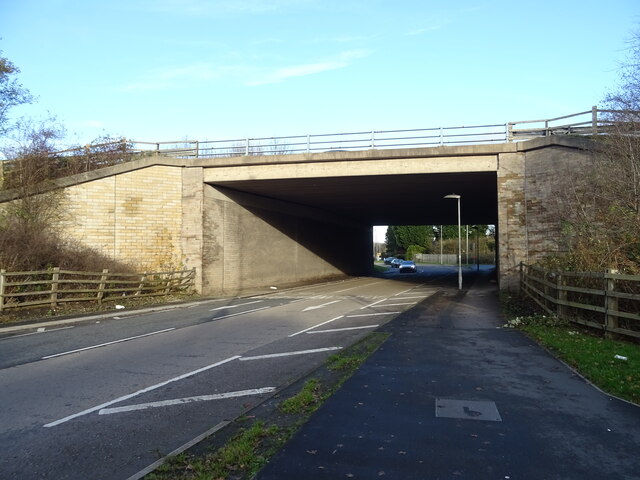
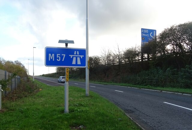
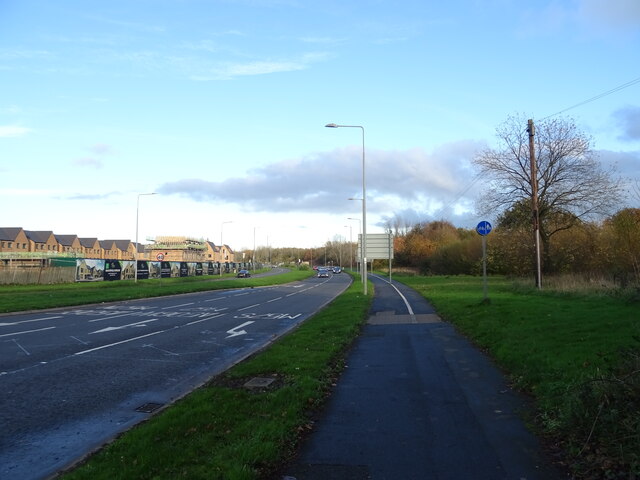
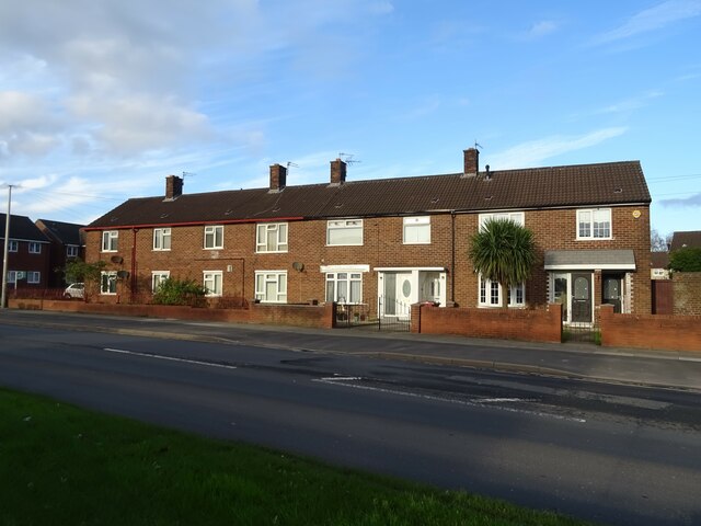
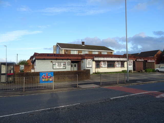
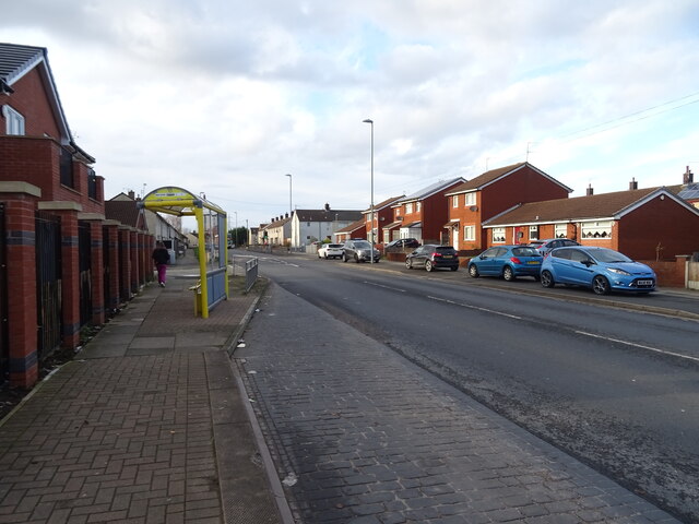
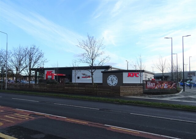
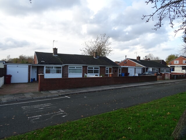
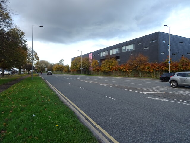
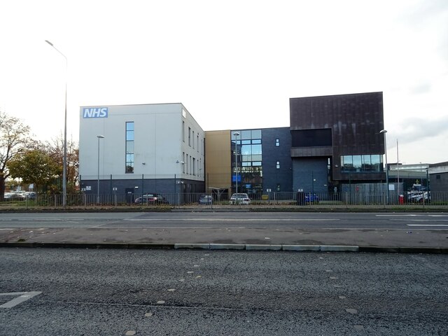
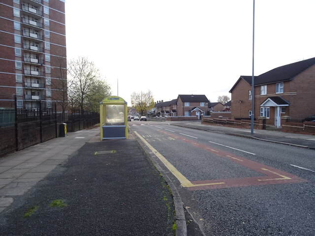
Southdene Images
Images are sourced within 2km of 53.472163/-2.879565 or Grid Reference SJ4197. Thanks to Geograph Open Source API. All images are credited.


Southdene is located at Grid Ref: SJ4197 (Lat: 53.472163, Lng: -2.879565)
Unitary Authority: Knowsley
Police Authority: Merseyside
What 3 Words
///head.wacky.person. Near Kirkby, Merseyside
Nearby Locations
Related Wikis

All Saints Catholic High School, Kirkby
All Saints Catholic High School is a Knowsley based Roman Catholic secondary school educating pupils aged 11–18 years of age in the Kirkby area of Merseyside...
Kirkby High School
Kirkby High School is a Knowsley based co-educational secondary school educating pupils aged 11–16 years of age in the Kirkby area of Merseyside, England...
The Kirkby Project
The Kirkby Project was a proposed new football stadium in Kirkby, England for Everton. The stadium, if built, would have replaced Goodison Park as Everton...
Kirkby Urban District
Kirkby Urban District was a local government district in the administrative county of Lancashire, England, from 1958 to 1974. From 1949 onwards, the main...
Nearby Amenities
Located within 500m of 53.472163,-2.879565Have you been to Southdene?
Leave your review of Southdene below (or comments, questions and feedback).