Blisland
Settlement in Cornwall
England
Blisland
Blisland is a small village located in the heart of Cornwall, England. Situated about 8 miles northwest of Bodmin, it lies amidst the beautiful countryside landscape of the county. With a population of around 500 residents, Blisland offers a tranquil and idyllic setting for those seeking a peaceful retreat.
The village is known for its quintessential charm, characterized by its traditional stone cottages, narrow lanes, and picturesque village green. The centerpiece of Blisland is the 15th-century St. Protus and St. Hyacinth Church, which stands proudly overlooking the village. Its stunning architecture and historical significance make it a popular attraction for visitors.
Blisland is also renowned for its sense of community and hospitality. The village is home to a welcoming local pub, the Blisland Inn, which serves as a meeting point for both residents and tourists. The pub offers a traditional menu, featuring locally sourced produce and a wide selection of beverages. It is a hub for social gatherings and a place where visitors can experience the warmth and friendliness of the locals.
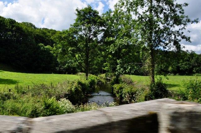
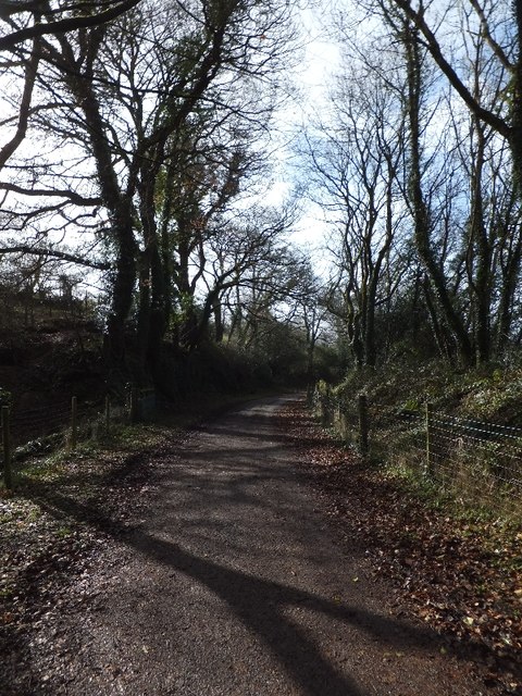
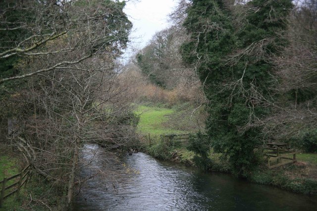
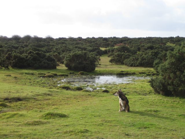
Surrounded by rolling hills and verdant countryside, Blisland provides ample opportunities for outdoor activities. The village is a starting point for various scenic walks and hikes, allowing visitors to explore the natural beauty of the area. The nearby Bodmin Moor is a popular destination for those seeking more challenging treks or simply a chance to immerse themselves in the wild moorland landscape.
In summary, Blisland is a charming and serene village in Cornwall, offering visitors a chance to experience the beauty of the English countryside, immerse themselves in history, and enjoy the warmth of a tight-knit community.
If you have any feedback on the listing, please let us know in the comments section below.
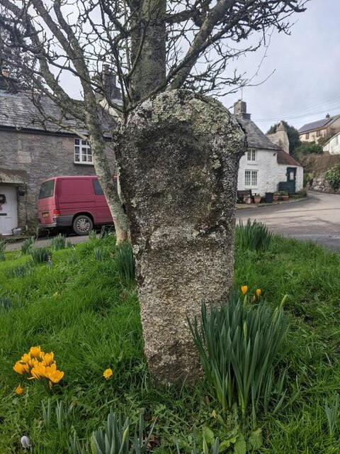
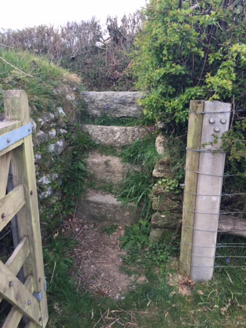
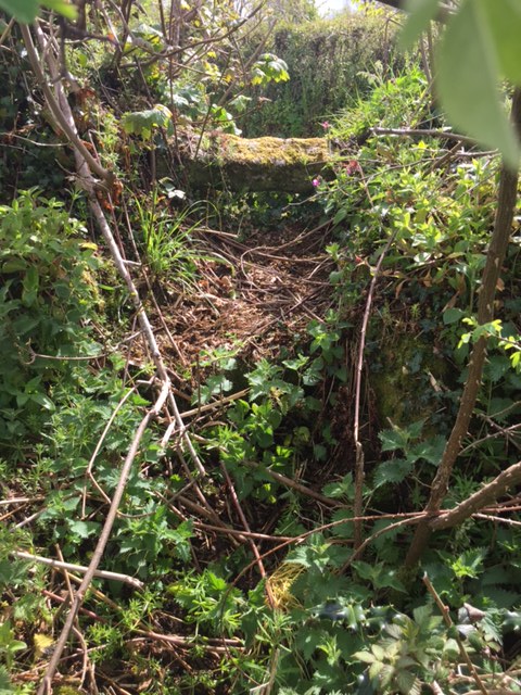
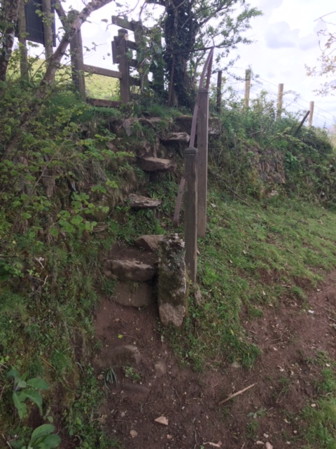
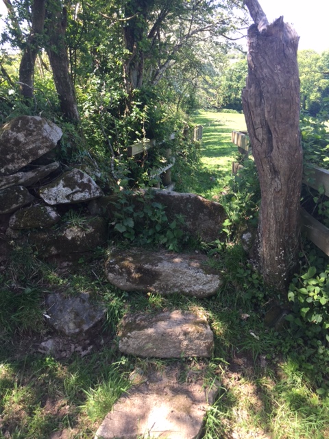
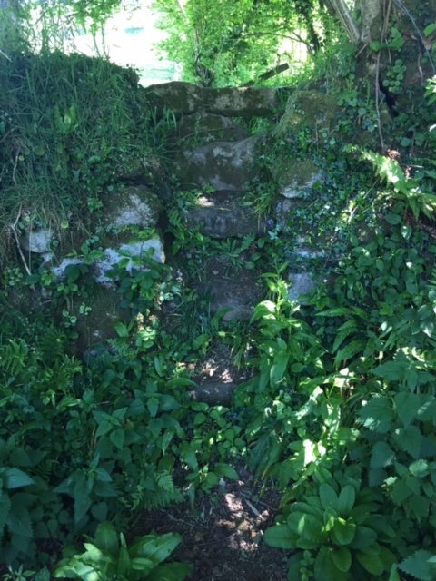
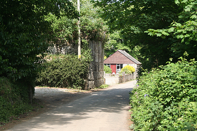
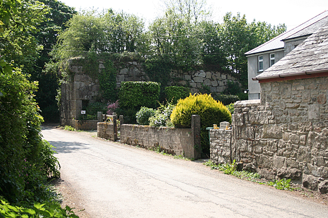
Blisland Images
Images are sourced within 2km of 50.528038/-4.683309 or Grid Reference SX0973. Thanks to Geograph Open Source API. All images are credited.


Blisland is located at Grid Ref: SX0973 (Lat: 50.528038, Lng: -4.683309)
Unitary Authority: Cornwall
Police Authority: Devon and Cornwall
What 3 Words
///betrayed.carefully.amplified. Near Helland, Cornwall
Nearby Locations
Related Wikis

Blisland
Blisland (Cornish: Blyslann) is a village and civil parish in Cornwall, England, United Kingdom. It is approximately five miles northeast of Bodmin. According...
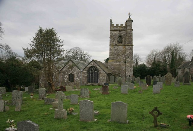
St Protus and St Hyacinth's Church, Blisland
St Protus and St Hyacinth's Church, Blisland is a Grade I listed parish church in the Church of England in Blisland, Cornwall, England, UK. == History... ==
Tresarrett
Tresarrett is a hamlet in the parish of Blisland, Cornwall, England, United Kingdom. It is in the valley of the River Camel south of Wenfordbridge. �...
Pendrift
Pendrift is a hamlet north of Blisland in Cornwall, England. == References ==
Nearby Amenities
Located within 500m of 50.528038,-4.683309Have you been to Blisland?
Leave your review of Blisland below (or comments, questions and feedback).