Blinkbonny
Settlement in Midlothian
Scotland
Blinkbonny
Blinkbonny is a small village located in Midlothian, Scotland. Nestled in the scenic countryside, it is surrounded by lush green fields, rolling hills, and picturesque landscapes. The village is situated approximately 10 miles southeast of Edinburgh, making it an ideal location for those seeking a peaceful retreat while still having easy access to urban amenities.
Blinkbonny is a close-knit community with a population of around 500 residents. The village has a rich history, dating back several centuries, and is known for its traditional Scottish charm. Many of the houses in Blinkbonny are quaint cottages, showcasing the architectural style prevalent in the region.
Despite its small size, Blinkbonny offers a range of amenities for its residents. There is a local primary school, providing education for children in the area. The village also has a community center that hosts various events and activities throughout the year, fostering a sense of community spirit.
For outdoor enthusiasts, Blinkbonny offers plenty of opportunities to explore the surrounding natural beauty. There are numerous walking and cycling paths, allowing residents to enjoy the fresh air and stunning scenery. Additionally, the nearby Pentland Hills Regional Park provides a wealth of outdoor activities, including hiking, horseback riding, and wildlife spotting.
Overall, Blinkbonny is a charming village that offers a tranquil and idyllic lifestyle, combined with easy access to nearby urban centers. It is a place where residents can enjoy the best of both worlds – a peaceful countryside retreat and the convenience of modern amenities.
If you have any feedback on the listing, please let us know in the comments section below.
Blinkbonny Images
Images are sourced within 2km of 55.889128/-3.3126072 or Grid Reference NT1867. Thanks to Geograph Open Source API. All images are credited.


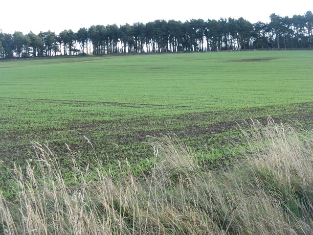


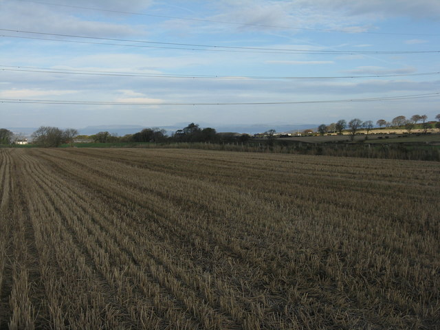
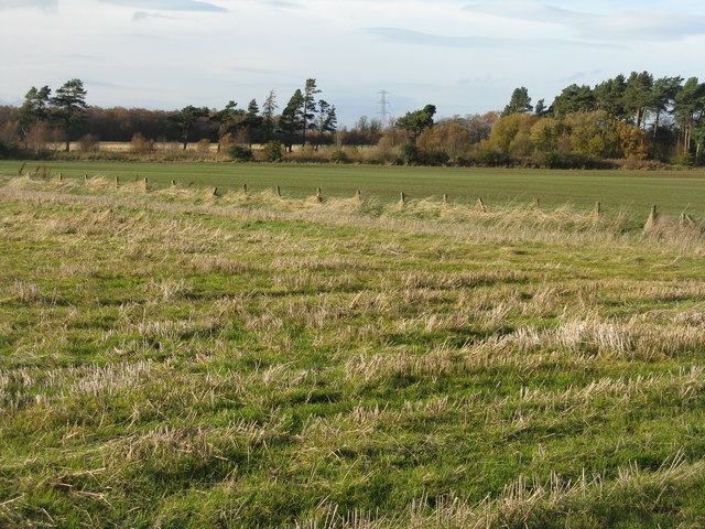
![Winter wheat in the Pentland Hills A recently sown field where once there would only have been rough pasture. New cultivars allow winter cereals to be grown in quite severe conditions. This crop is not yet germinating, and there is evidence of erosion from rain run-off in the foreground. The long low hills in the distance are West and East Cairn Hills [10km to the southwest], the one on the left is Hare Hill, much nearer at 4km.](https://s0.geograph.org.uk/geophotos/02/67/63/2676348_944a7245.jpg)
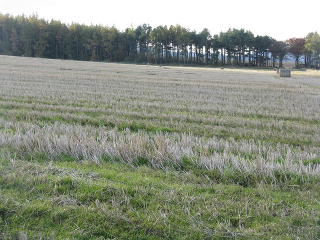

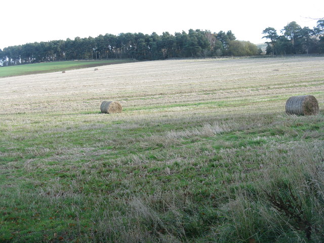
![November poppy in the barley stubble A Field Poppy [Papaver rhoeas] at Kinleith above Currie, in the foothills of the Pentlands.](https://s1.geograph.org.uk/geophotos/02/67/64/2676461_94a2f9f9.jpg)
Blinkbonny is located at Grid Ref: NT1867 (Lat: 55.889128, Lng: -3.3126072)
Unitary Authority: City of Edinburgh
Police Authority: Edinburgh
What 3 Words
///orange.vibes.drift. Near Currie, Edinburgh
Nearby Locations
Related Wikis

Currie railway station
Currie railway station was opened in 1874 and served the area of the village of Currie that now forms part of the city of Edinburgh. Although primarily...

Edinburgh South West (UK Parliament constituency)
Edinburgh South West is a Scottish constituency of the House of Commons of the Parliament of the United Kingdom, first used at the 2005 UK general election...

Lennox Tower
Lennox Tower is a ruinous fifteenth-century tower house at Lymphoy, near the Water of Leith, between Balerno and Currie, 11 kilometres (6.8 mi) south-west...

Currie
Currie (Scottish Gaelic: Currach, IPA:[ˈkʰuːᵲəx]) is a village and suburb on the outskirts of Edinburgh, Scotland, situated 7 miles (11 kilometres) south...
Nearby Amenities
Located within 500m of 55.889128,-3.3126072Have you been to Blinkbonny?
Leave your review of Blinkbonny below (or comments, questions and feedback).