Blinkbonny

Settlement in Fife

Scotland

Blinkbonny

Lindores Hill The foreground and the forestry are all in this grid square, but one has to admit that it's the view that catches the eye. On the left, in the distance, is the prominent hump of West Lomond. Ormiston Hill rises steeply from the town of Newburgh, and in the sunshine to the right is the estuary of the River Tay.
Lindores Hill Credit: Anne Burgess

Blinkbonny is a small village located in the county of Fife, Scotland. Nestled in the picturesque countryside, it is situated about 9 miles northwest of the town of Dunfermline and approximately 30 miles northwest of the capital city of Edinburgh. The village is part of the Dunfermline and West Fife parliamentary constituency.

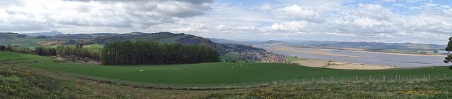
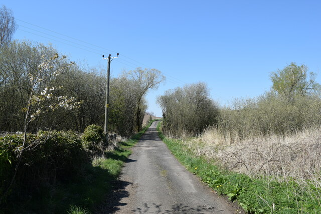
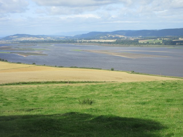
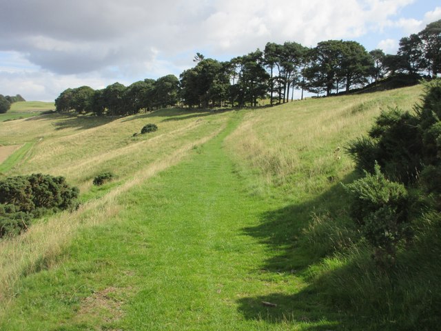
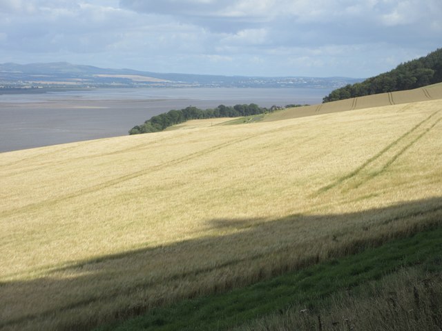
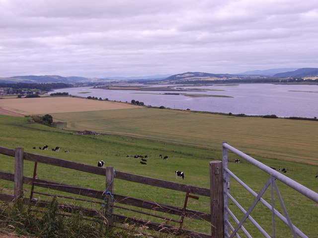
With a population of around 500 residents, Blinkbonny maintains a close-knit community atmosphere. The village is primarily residential, consisting of a mix of traditional stone houses and more modern properties. Blinkbonny is known for its stunning natural surroundings, with rolling hills, lush fields, and woodlands providing a beautiful backdrop for residents and visitors alike.

Although Blinkbonny is a quiet and peaceful village, it benefits from its proximity to larger towns and cities. Dunfermline, with its excellent amenities including shopping centers, schools, and leisure facilities, is easily accessible by road. Additionally, the vibrant city of Edinburgh can be reached within a short drive or by public transport, offering a wider range of employment, cultural, and recreational opportunities.

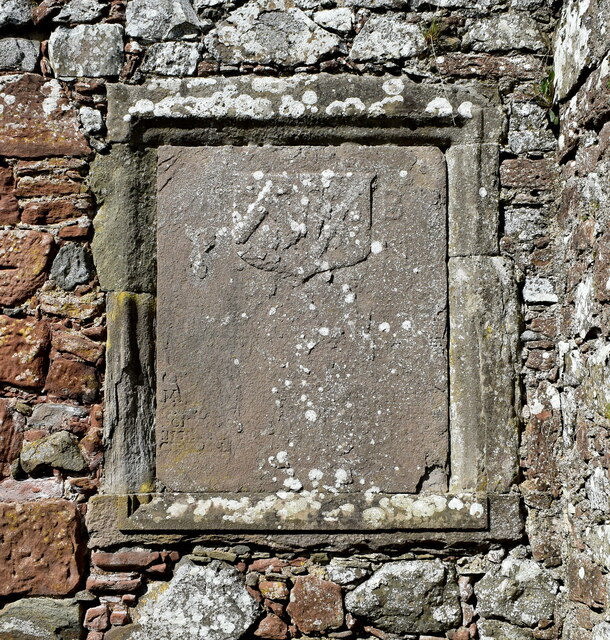
Blinkbonny enjoys a rich history, with its name believed to derive from the Old Scots "blink bonnie," which means "beautiful view." The village has retained much of its traditional charm, and its residents take pride in preserving the local heritage.

In conclusion, Blinkbonny offers a tranquil and scenic setting for those seeking a peaceful countryside lifestyle, while still providing easy access to nearby towns and cities.

If you have any feedback on the listing, please let us know in the comments section below.

Blinkbonny Images

Images are sourced within 2km of 56.348691/-3.182725 or Grid Reference NO2718. Thanks to Geograph Open Source API. All images are credited.

Lindores Hill The foreground and the forestry are all in this grid square, but one has to admit that it's the view that catches the eye. On the left, in the distance, is the prominent hump of West Lomond. Ormiston Hill rises steeply from the town of Newburgh, and in the sunshine to the right is the estuary of the River Tay.
Lindores Hill
The foreground and the forestry are all in this grid square, but one has to admit that it's the view that catches the eye. On the left, in the distance, is the prominent hump of West Lomond. Ormiston Hill rises steeply from the town of Newburgh, and in the sunshine to the right is the estuary of the River Tay.
Meeting the Horses Visitors to the farm at Braeside of Lindores getting to know some of the residents.
Meeting the Horses
Visitors to the farm at Braeside of Lindores getting to know some of the residents.
Braeside of Lindores The farm at Braeside of Lindores is diversifying into all manner of leisure activities including equestrian activities.
Braeside of Lindores
The farm at Braeside of Lindores is diversifying into all manner of leisure activities including equestrian activities.
Abdie Parish Kirk The B-listed (LB2560 <span class="nowrap"><a title="https://portal.historicenvironment.scot/designation/LB2560" rel="nofollow ugc noopener" href="https://portal.historicenvironment.scot/designation/LB2560">Link</a><img style="margin-left:2px;" alt="External link" title="External link - shift click to open in new window" src="https://s1.geograph.org.uk/img/external.png" width="10" height="10"/></span> ) kirk dates from ca. 1827 and replaced the medieval kirk a few hundred metres to the south east.   The Italianate bellcote is unusual.
Abdie Parish Kirk
The B-listed (LB2560 LinkExternal link ) kirk dates from ca. 1827 and replaced the medieval kirk a few hundred metres to the south east. The Italianate bellcote is unusual.
Abdie old kirk The 13th Century kirk is a scheduled monument (SM825 <span class="nowrap"><a title="https://portal.historicenvironment.scot/designation/SM825" rel="nofollow ugc noopener" href="https://portal.historicenvironment.scot/designation/SM825">Link</a><img style="margin-left:2px;" alt="External link" title="External link - shift click to open in new window" src="https://s1.geograph.org.uk/img/external.png" width="10" height="10"/></span> ) but the listing provides no details  whatsoever.  Thankfully, the Canmore listing (30063  <span class="nowrap"><a title="https://canmore.org.uk/site/30063/abdie-old-parish-kirk" rel="nofollow ugc noopener" href="https://canmore.org.uk/site/30063/abdie-old-parish-kirk">Link</a><img style="margin-left:2px;" alt="External link" title="External link - shift click to open in new window" src="https://s1.geograph.org.uk/img/external.png" width="10" height="10"/></span> ) comes to the rescue with a very detailed description.    The church was abandoned and soon fell into ruin when the replacement kirk was built a few hundred metres to the north east in 1827.
Abdie old kirk
The 13th Century kirk is a scheduled monument (SM825 LinkExternal link ) but the listing provides no details whatsoever. Thankfully, the Canmore listing (30063 LinkExternal link ) comes to the rescue with a very detailed description. The church was abandoned and soon fell into ruin when the replacement kirk was built a few hundred metres to the north east in 1827.
Buildings at the entrance to Abdie old kirk The farther building is said to be a " session/offertory house" and the nearer is a "hearse or gig-house and loft".    The ensemble is B-listed (LB2561 <span class="nowrap"><a title="https://portal.historicenvironment.scot/designation/LB2561" rel="nofollow ugc noopener" href="https://portal.historicenvironment.scot/designation/LB2561">Link</a><img style="margin-left:2px;" alt="External link" title="External link - shift click to open in new window" src="https://s1.geograph.org.uk/img/external.png" width="10" height="10"/></span> ).   An enormous yew tree looms behind them.
Buildings at the entrance to Abdie old kirk
The farther building is said to be a " session/offertory house" and the nearer is a "hearse or gig-house and loft". The ensemble is B-listed (LB2561 LinkExternal link ). An enormous yew tree looms behind them.
Minor road to Abdie old kirk
Balfour-Napier monument, Abdie old kirk Arms of Balfour of Denmiln (Or, on a chevron sable between three trefoils slipped vert an otter's head erased argent) impaling Napier (Argent a saltire engrailed between four roses gules barbed vert)  commemorating the marriage between Michael Balfour and Katherine Napier sometime before 1652, when Katherine died.   The memorial is almost completely eroded but the arms at least were more discernible in 1930 and their details were entered into the  ‘Inventory of Monuments and Constructions in the Counties of Five, Kinross, and Clackmannan', published by RCAHMS (the Royal Commission on the Ancient and Historical Monuments of Scotland) published in 1933,
Balfour-Napier monument, Abdie old kirk
Arms of Balfour of Denmiln (Or, on a chevron sable between three trefoils slipped vert an otter's head erased argent) impaling Napier (Argent a saltire engrailed between four roses gules barbed vert) commemorating the marriage between Michael Balfour and Katherine Napier sometime before 1652, when Katherine died. The memorial is almost completely eroded but the arms at least were more discernible in 1930 and their details were entered into the ‘Inventory of Monuments and Constructions in the Counties of Five, Kinross, and Clackmannan', published by RCAHMS (the Royal Commission on the Ancient and Historical Monuments of Scotland) published in 1933,
View over the fields... ...with Braeside Mains in the distance.
View over the fields...
...with Braeside Mains in the distance.
Field near Glenduckie Looking over a stubble field south-westwards towards Glenduckie.
Field near Glenduckie
Looking over a stubble field south-westwards towards Glenduckie.
Fife Coastal Path at Higham Hill Grassy fenced in section of the Fife Coastal Path near Higham Hill.
Fife Coastal Path at Higham Hill
Grassy fenced in section of the Fife Coastal Path near Higham Hill.
Field above the Firth of Tay Looking down from the Fife Coastal Path to a field above the Firth of Tay.
Field above the Firth of Tay
Looking down from the Fife Coastal Path to a field above the Firth of Tay.
Grassy high section of the Fife Coastal Path The Fife Coastal Path heading east along the hills above the Tay.
Grassy high section of the Fife Coastal Path
The Fife Coastal Path heading east along the hills above the Tay.
Barley field above the Firth of Tay Looking from Silver Hill over a field of barley, with Dundee in the distance across the Firth of Tay.
Barley field above the Firth of Tay
Looking from Silver Hill over a field of barley, with Dundee in the distance across the Firth of Tay.
Den Of Lindores A view along the  B936 to its junction with the A913 in the village of Den of Lindores.
Den Of Lindores
A view along the B936 to its junction with the A913 in the village of Den of Lindores.
View upstream River Tay Over the islands off Newburgh (Fife).
View upstream River Tay
Over the islands off Newburgh (Fife).
The Fife Coastal Path The path dropping down towards the Tay and journeys end at Newburgh.
The Fife Coastal Path
The path dropping down towards the Tay and journeys end at Newburgh.
Pier, Lindores Loch Clear, shallow water by the boat pier.
Pier, Lindores Loch
Clear, shallow water by the boat pier.
Show me another place!

Blinkbonny is located at Grid Ref: NO2718 (Lat: 56.348691, Lng: -3.182725)

Unitary Authority: Fife

Police Authority: Fife

What 3 Words

///colonies.curve.conforms. Near Newburgh, Fife

Nearby Locations

Blinkbonny

Related Wikis

Lindores railway station

Lindores railway station served the village of Lindores, Fife, Scotland from 1909 to 1951 on the Newburgh and North Fife Railway. == History == The station...

Lindores

Lindores is a small village in Fife, Scotland, in the parish of Abdie, about 2 miles south-east of Newburgh. It is situated on the north-east shore of...

Lindores Loch

Lindores Loch is a freshwater loch, situated in North Fife in the Parish of Abdie, in the Central Belt of Scotland. The Loch has for many years been used...

Lindores (E&NR) railway station

Lindores (E&NR) railway station was a temporary terminus that served the village of Lindores, Fife, Scotland in 1847 on the Edinburgh and Northern Railway...

Abdie stone

The Abdie stone is a Class I Pictish stone that stands in Abdie Churchyard, Lindores, Fife, Scotland. == Location == The stone originally stood on the...
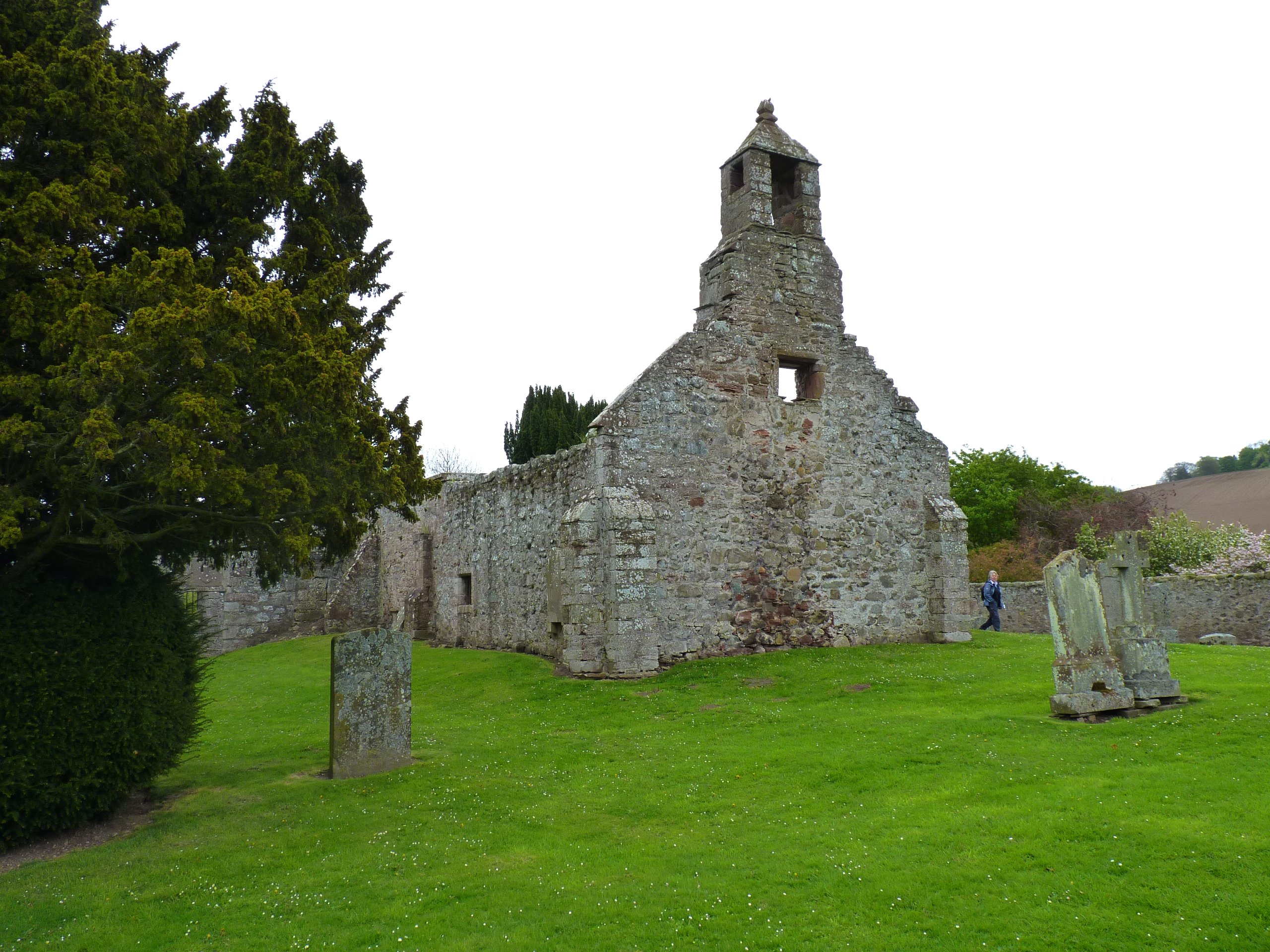
Abdie

Abdie is a parish in north-west Fife, Scotland, lying on the south shore of the Firth of Tay on the eastern outskirts of Newburgh, extending about 3 miles...

Glenburnie railway station

Glenburnie railway station was a temporary terminus that served the area of Glenburnie, Fife, Scotland from 1847 to 1848 on the Edinburgh and Northern...
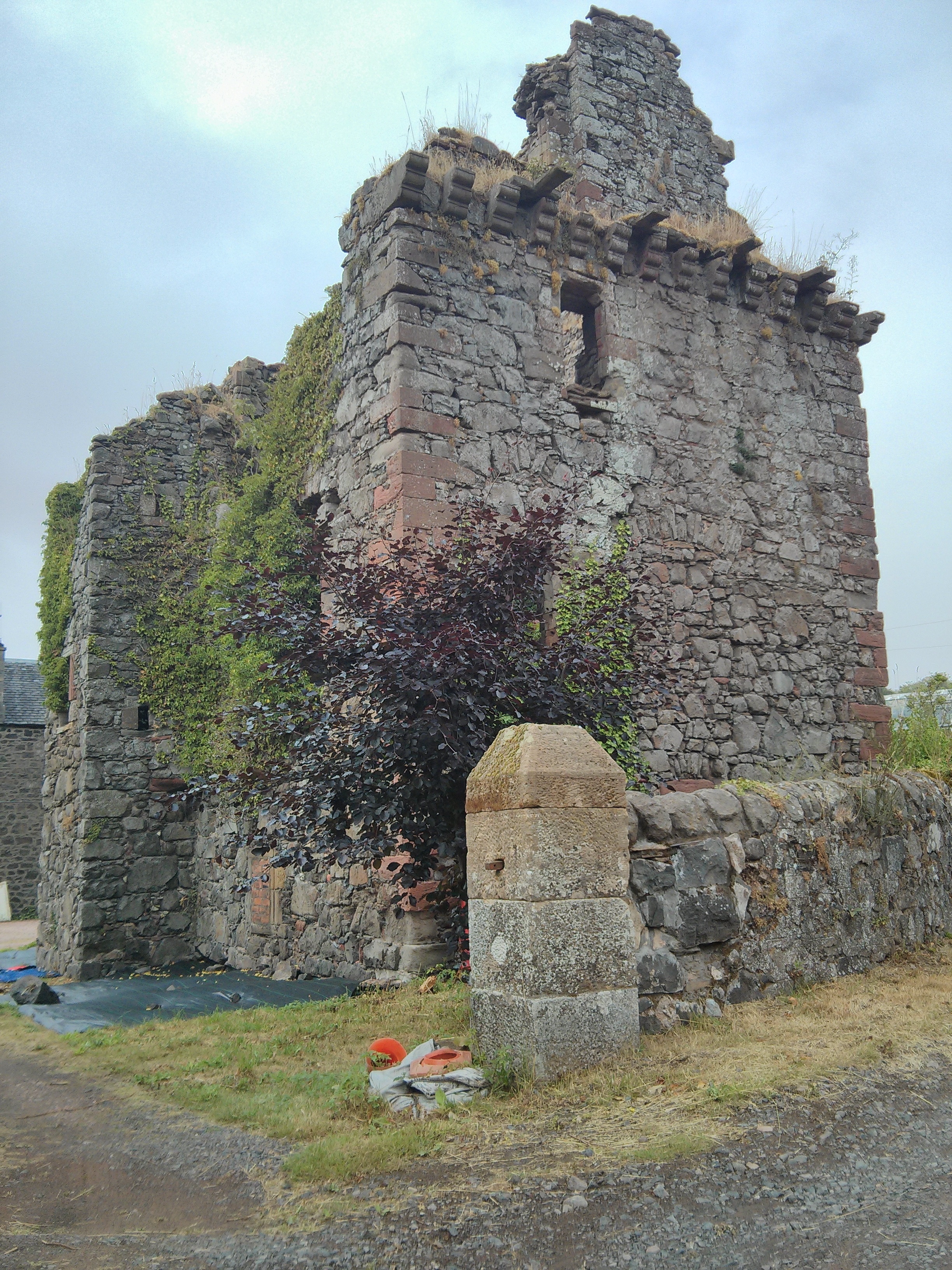
Denmylne Castle

Denmylne Castle is a ruined 16th-century tower house, about 1 mile (1.6 km) south east of Newburgh, Fife, Fife, Scotland, and 1 mile (1.6 km) north west...

Nearby Amenities

Located within 500m of 56.348691,-3.182725
Power: pole
Lat/Long: 56.3464756/-3.1805904
Power: pole
Lat/Long: 56.3444591/-3.1817411
Power: pole
Lat/Long: 56.3451153/-3.1814464
Power: pole
Lat/Long: 56.3457125/-3.1811702
Power: pole
Lat/Long: 56.3463945/-3.1808497
Power: pole
Lat/Long: 56.3515859/-3.1776065
Power: pole
Lat/Long: 56.3510484/-3.1783656
Power: pole
Lat/Long: 56.3506645/-3.1791784
Power: pole
Lat/Long: 56.3512249/-3.1797348
Power: pole
Lat/Long: 56.3518209/-3.1804008
Power: pole
Lat/Long: 56.3524168/-3.1810193
The data included in this document is from www.openstreetmap.org. The data is made available under ODbL.

Have you been to Blinkbonny?

Leave your review of Blinkbonny below (or comments, questions and feedback).