Bliss Gate
Settlement in Worcestershire Wyre Forest
England
Bliss Gate

Bliss Gate is a small village located in the county of Worcestershire, England. Situated in the Wyre Forest district, it lies approximately 4 miles northwest of the bustling town of Kidderminster. The village is nestled amidst picturesque countryside, offering residents and visitors a tranquil and scenic setting.
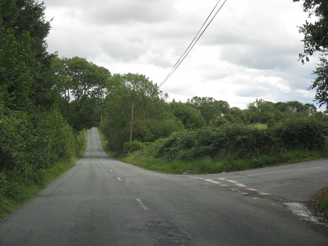
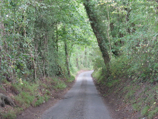
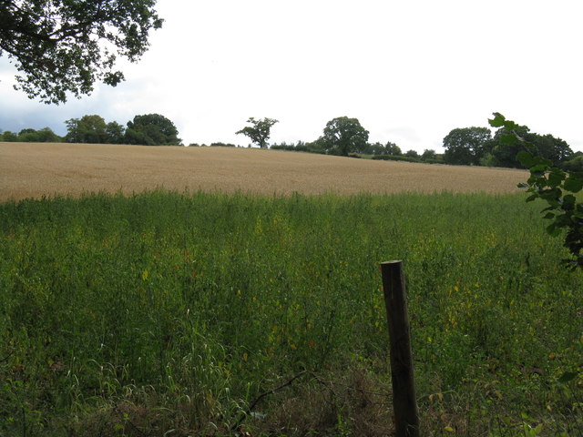
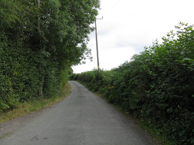
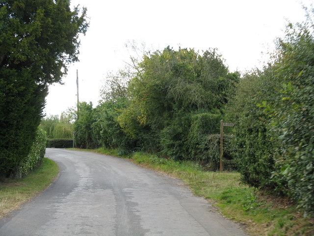
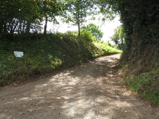
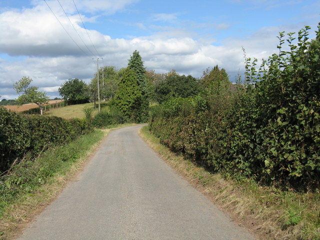
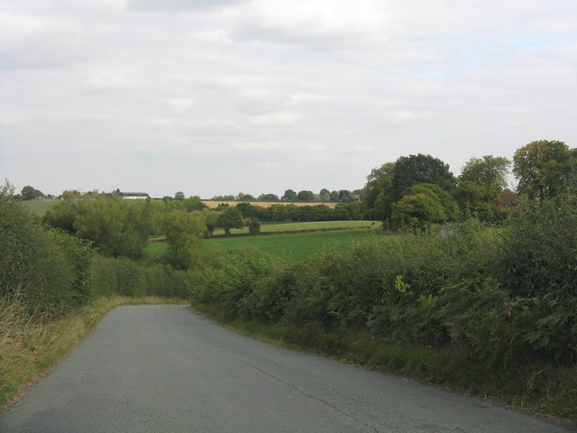
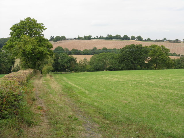
Bliss Gate is renowned for its rural charm and is surrounded by lush green fields, rolling hills, and dense woodland, making it an ideal location for nature lovers and outdoor enthusiasts. The village is part of the Wyre Forest National Nature Reserve, which boasts an extensive network of walking trails and cycling paths, allowing visitors to explore the stunning natural beauty of the area.
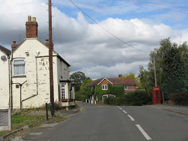
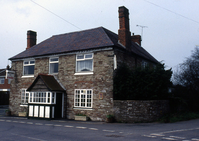
Despite its small size, Bliss Gate has a close-knit and friendly community. The village primarily consists of traditional cottages and farmhouses, adding to its idyllic charm. The local community is served by a quaint village hall, which hosts various social events and gatherings throughout the year.
In terms of amenities, Bliss Gate has limited facilities. However, the nearby town of Kidderminster provides access to a wider range of amenities, including shops, supermarkets, schools, and healthcare facilities. The village benefits from good transport links, with regular bus services connecting it to surrounding towns and villages.
Overall, Bliss Gate offers a peaceful and rural lifestyle, with its stunning natural surroundings and strong sense of community making it an attractive place to live or visit for those seeking a quieter pace of life.
If you have any feedback on the listing, please let us know in the comments section below.
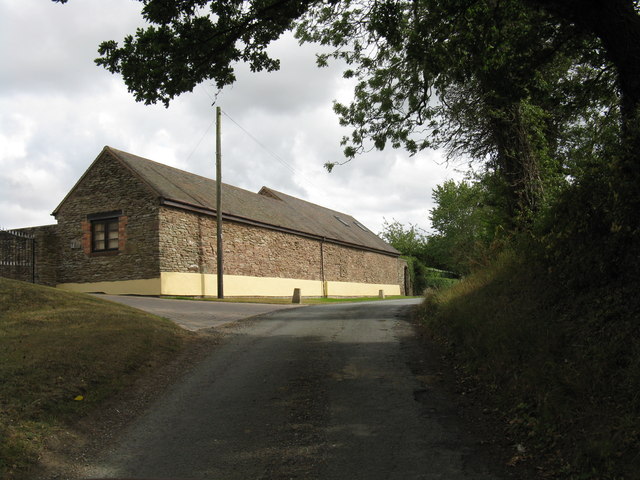
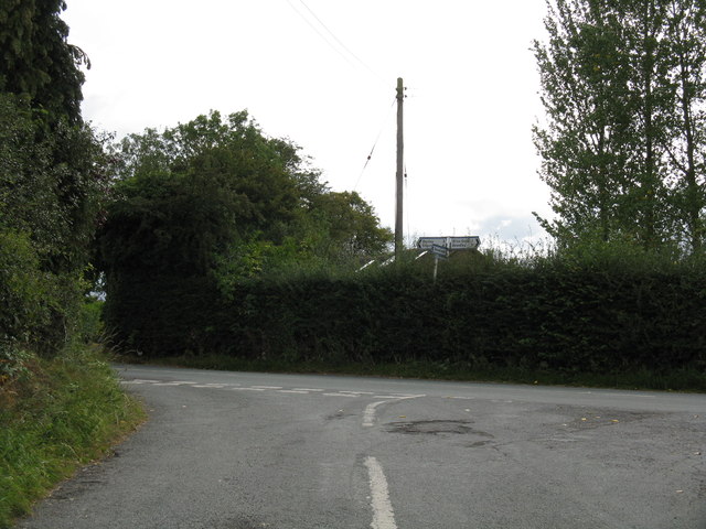
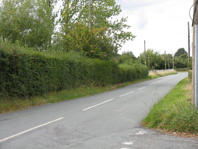
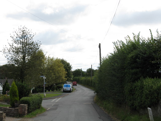
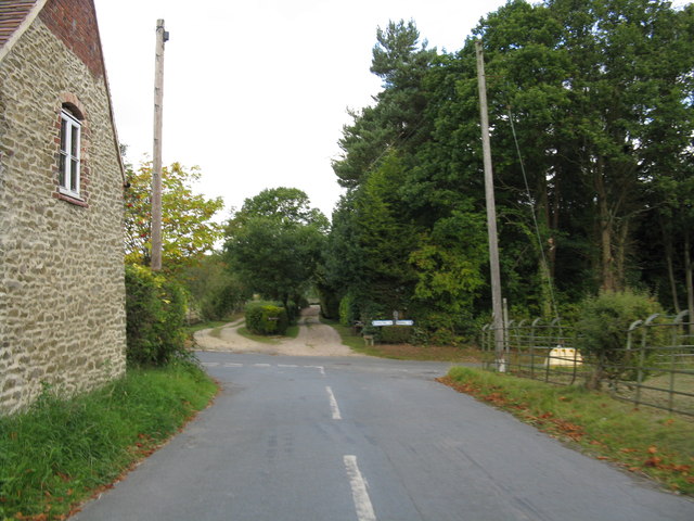
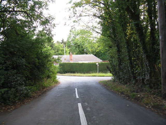
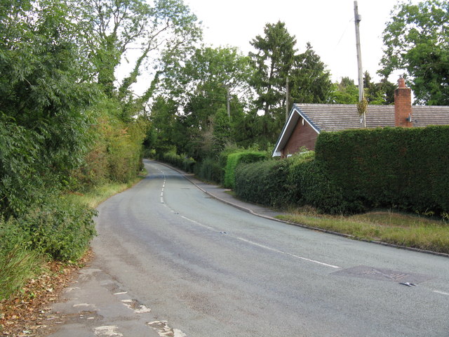
Bliss Gate Images
Images are sourced within 2km of 52.350213/-2.37434 or Grid Reference SO7472. Thanks to Geograph Open Source API. All images are credited.
Bliss Gate is located at Grid Ref: SO7472 (Lat: 52.350213, Lng: -2.37434)
Administrative County: Worcestershire
District: Wyre Forest
Police Authority: West Mercia
What 3 Words
///height.starring.rent. Near Bewdley, Worcestershire
Nearby Locations
Related Wikis

Bliss Gate
Bliss Gate is a small village in Worcestershire, England. It had many attractive tourist landmarks such as the Bliss Gate Inn (now closed) and a village...
Rock, Worcestershire
Rock is a village and civil parish in the Wyre Forest District of Worcestershire, England, which lies south-west of Bewdley. It had a population of 2,366...

Fingerpost, Worcestershire
Fingerpost is a hamlet and road junction in north Worcestershire, England, approximately 3 miles (4.8 km) west of Bewdley. It is located at the junction...

Rock moated site and medieval village
Rock moated site and medieval village is an archaeological site, including a deserted medieval village, in Worcestershire, England, near the village of...

Church of St Peter and St Paul, Rock
The Church of St Peter and St Paul is an Anglican church in the village of Rock, in Worcestershire, England. It is in the parish of Rock with Heightington...

Heightington
Heightington is a small village in Worcestershire, England. It lies a little to the south-west of Bewdley and a little to the west of Stourport-on-Severn...

Far Forest
Far Forest is a small village in north Worcestershire, England, approximately 3.5 miles (5.6 km) west of Bewdley, and next to the border with Shropshire...

Clows Top
Clows Top is a village in north Worcestershire, England. There is a village shop/post office, a butcher's, a village hall (named the "Victory Hall") and...
Nearby Amenities
Located within 500m of 52.350213,-2.37434Have you been to Bliss Gate?
Leave your review of Bliss Gate below (or comments, questions and feedback).