Blissford

Settlement in Hampshire New Forest

England

Blissford

Path south of Godshill
Path south of Godshill Credit: David Martin

Blissford is a small village located in the county of Hampshire, England. Situated within the New Forest National Park, it is nestled amidst picturesque countryside and is known for its tranquil and idyllic setting. The village is situated approximately 15 miles northwest of Southampton and 110 miles southwest of London.

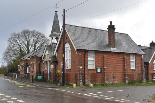
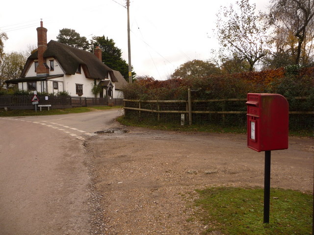
With a population of around 200 residents, Blissford is a close-knit community that offers a peaceful and friendly atmosphere. The village is primarily residential, consisting of a mix of traditional thatched cottages and modern houses. The architectural charm of the buildings adds to the village's rustic appeal.

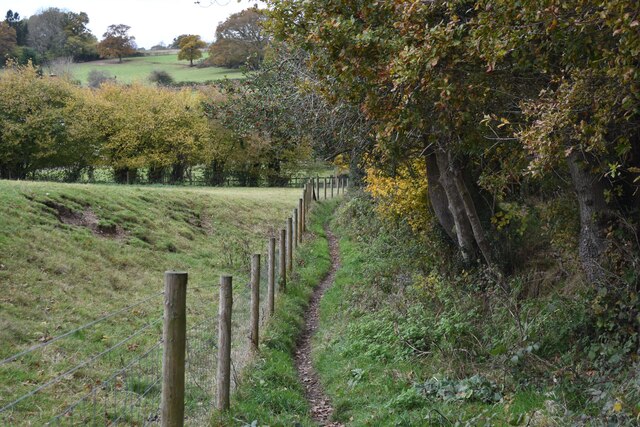
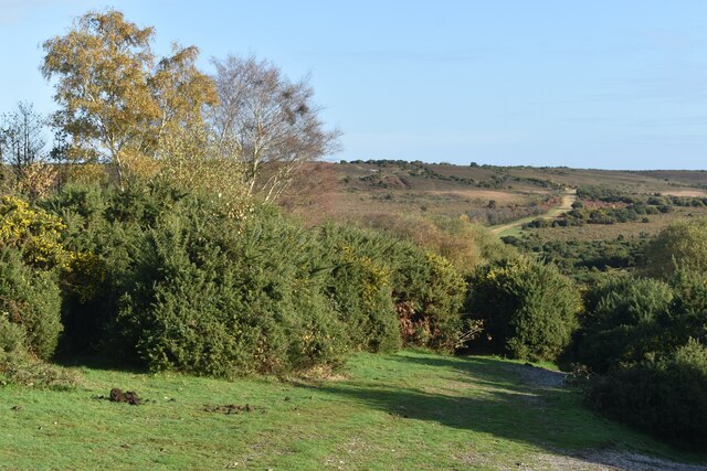
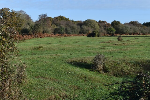
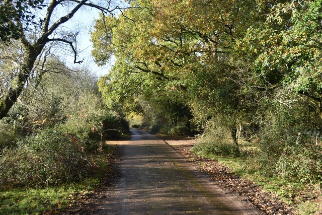
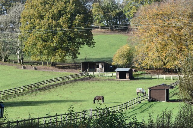
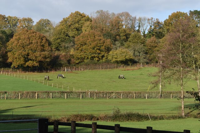
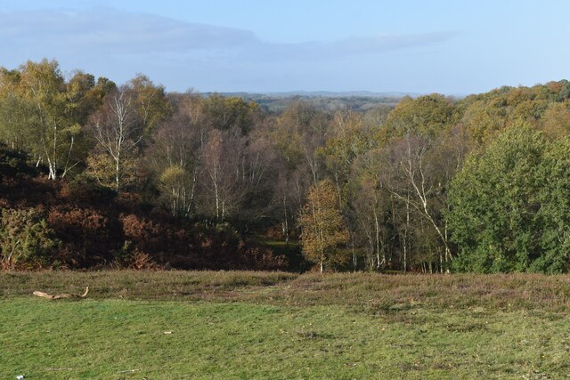
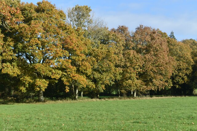
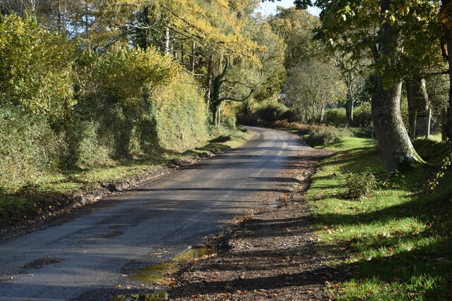
Blissford is renowned for its natural beauty and is a popular destination for nature lovers and outdoor enthusiasts. The surrounding area boasts an abundance of wildlife and stunning landscapes, making it an ideal location for hiking, cycling, and horse riding. The village is also home to a number of walking trails that provide access to the New Forest's extensive network of paths.

Although small, Blissford has a strong sense of community, with a village hall that serves as a hub for various social events and gatherings. There is also a quaint village church that dates back centuries and holds regular services for residents and visitors alike.

Overall, Blissford offers a peaceful and picturesque escape from the hustle and bustle of city life, making it an ideal destination for those seeking a tranquil retreat in the heart of the Hampshire countryside.

If you have any feedback on the listing, please let us know in the comments section below.

Blissford Images

Images are sourced within 2km of 50.912091/-1.752183 or Grid Reference SU1712. Thanks to Geograph Open Source API. All images are credited.

Path south of Godshill
Hyde Church of England Primary School
Path descending to Abbots Well Road With the path climbing the Frogham-Fritham ridge in the distance.
Path descending to Abbots Well Road
With the path climbing the Frogham-Fritham ridge in the distance.
Forest lawn at Ogdens
Lane at Ogdens
Lane at Ogdens
Paddocks at Holland Bottom
Footpath near Furze Hill
Grassy corner near Furze Hill
Woodland view from the ridge above Chibden Bottom
Fields and house below Gorley Hill
Autumn trees below Gorley Hill
Hern Lane, Hungerford
View across field to trees beside Hern Lane
Path between new fences at Frogham
Paddocks and woodland near Frogham
Paddocks and sheds at Frogham
Start of Traffic Free Cycle Route to Hampton Ridge
Show me another place!

Blissford is located at Grid Ref: SU1712 (Lat: 50.912091, Lng: -1.752183)

Administrative County: Hampshire

District: New Forest

Police Authority: Hampshire

What 3 Words

///pony.dazzling.consoled. Near Fordingbridge, Hampshire

Related Wikis

Frogham, Hampshire

Frogham is a small village in the New Forest National Park of Hampshire, England. It is in the civil parish of Hyde. Its nearest town is Fordingbridge...

Ogdens

Ogdens is a small hamlet south of Hyde Common near Frogham in the New Forest area of Hampshire, England. Ogdens is a hamlet in the civil parish of Hyde...

Hyde, Hampshire

Hyde is a village and civil parish in the New Forest near Fordingbridge in Hampshire, England. == Overview == The parish of Hyde is mostly within the boundary...

Gorley Lynch

Gorley Lynch is a hamlet in the civil parish of Gorley in the New Forest National Park of Hampshire, England. It is in the civil parish of Hyde. Its nearest...

Hungerford, Hampshire

Hungerford is a hamlet in the New Forest National Park of Hampshire, England. Its nearest town is Fordingbridge, which lies approximately 2 miles (3.4...

Blissford

Blissford is a hamlet in the civil parish of Hyde situated in the New Forest National Park in Hampshire, England. Its nearest town is Fordingbridge, which...

Furze Hill

Furze Hill (or Furzehill) is a hamlet situated in the New Forest National Park of Hampshire, England. It is in the civil parish of Ellingham, Harbridge...

Gorley Hill

Gorley Hill is the site of a former Iron Age promontory hillfort located in Hampshire in the United Kingdom. The fort once occupied the southwestern corner...

Nearby Amenities

Located within 500m of 50.912091,-1.752183
Ogdens
Is In: Hampshire, England, UK
Place: hamlet
Wikidata: Q7079961
Wikipedia: en:Ogdens
Lat/Long: 50.9085588/-1.7506683
Pub
The Foresters Arms
Addr City: fordingbridge
Addr Hamlet: Frogham
Addr Postcode: SP6 2JA
Addr Street: Abbotswell Road
Outdoor Seating: yes
Smoking: outside
Toilets Access: customers
Website: https://the.littlepubgroup.co.uk/the-foresters-arms
Lat/Long: 50.9152949/-1.755673
Bus Stop
Frogham Cross Roads
Bus: yes
Naptan AtcoCode: 1900HA081082
Naptan Bearing: W
Naptan BusStopType: CUS
Naptan CommonName: Frogham Cross Roads
Naptan Crossing: Abbots Well Road
Naptan Indicator: Sch Svc
Naptan NaptanCode: hamadpam
Naptan Street: Blissford Hill
Naptan Verified: no
Source: naptan_import
Lat/Long: 50.9149976/-1.7566778
Bus Stop
Frogham Cross Roads
Bus: yes
Naptan AtcoCode: 1900HA081083
Naptan Bearing: S
Naptan CommonName: Frogham Cross Roads
Naptan Crossing: Abbots Well Road
Naptan Landmark: Forester's Arms PH
Naptan NaptanCode: hamadpda
Naptan Street: Blissford Hill
Naptan Verified: no
Source: naptan_import
Lat/Long: 50.9150864/-1.7561938
Bus Stop
Frogham Church
Bus: yes
Naptan AtcoCode: 1900HA081086
Naptan Bearing: S
Naptan BusStopType: CUS
Naptan CommonName: Frogham Church
Naptan Crossing: Abbots Well Road
Naptan Indicator: Sch Svc
Naptan NaptanCode: hamadpaw
Naptan Street: Blissford Hill
Naptan Verified: no
Source: naptan_import
Lat/Long: 50.9141071/-1.7566258
Bus Stop
Ogdens Cross Roads
Bus: yes
Naptan AtcoCode: 1900HA081093
Naptan Bearing: SW
Naptan CommonName: Ogdens Cross Roads
Naptan Crossing: Gorley Lynch
Naptan NaptanCode: hamadpdt
Naptan Street: Unamed Road Through Village
Naptan Verified: no
Source: naptan_import
Lat/Long: 50.9084209/-1.7510087
Bus Stop
Ogdens Cross Roads
Bus: yes
Naptan AtcoCode: 1900HA081094
Naptan Bearing: E
Naptan CommonName: Ogdens Cross Roads
Naptan Crossing: Gorley Lynch
Naptan NaptanCode: hamadpga
Naptan Street: Unamed Road Through Village
Naptan Verified: no
Source: naptan_import
Lat/Long: 50.9087169/-1.75068
Post Box
Operator: Royal Mail
Operator Wikidata: Q638098
Postal Code: SP6
Ref: SP6 289
Lat/Long: 50.9150981/-1.7561097
Post Box
Operator: Royal Mail
Operator Wikidata: Q638098
Postal Code: SP6
Ref: SP6 344
Lat/Long: 50.9085236/-1.7508454
Toilets
Access: customers
Addr Street: Abbotswell Road
Entrance: yes
Lat/Long: 50.9154761/-1.755101
Bench
Lat/Long: 50.9109091/-1.757248
The data included in this document is from www.openstreetmap.org. The data is made available under ODbL.

Have you been to Blissford?

Leave your review of Blissford below (or comments, questions and feedback).