Lavethan

Heritage Site in Cornwall

England

Lavethan

Old Central Cross beside the green in Blisland Blisland Village Cross, the head and neck of an old wayside cross on a grass triangle beside the green where Tregenna Road joins the village main street in Blisland parish. Grade II Listed <span class="nowrap"><a title="https://historicengland.org.uk/listing/the-list/list-entry/1142366" rel="nofollow ugc noopener" href="https://historicengland.org.uk/listing/the-list/list-entry/1142366">Link</a><img style="margin-left:2px;" alt="External link" title="External link - shift click to open in new window" src="https://s1.geograph.org.uk/img/external.png" width="10" height="10"/></span>.  See also <span class="nowrap"><a title="http://www.flickr.com/photos/ocifant/2880305692" rel="nofollow ugc noopener" href="http://www.flickr.com/photos/ocifant/2880305692">Link</a><img style="margin-left:2px;" alt="External link" title="External link - shift click to open in new window" src="https://s1.geograph.org.uk/img/external.png" width="10" height="10"/></span>.

Milestone Society National ID: CWNC_BLI08
Old Central Cross beside the green in Blisland Credit: L Nott

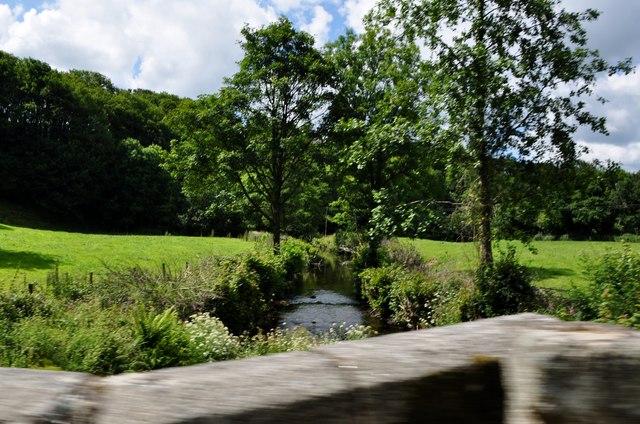
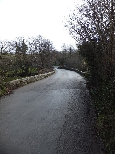
Lavethan, located in Cornwall, England, is a remarkable heritage site that offers visitors a glimpse into the region’s rich history. This small hamlet is nestled in the picturesque countryside, surrounded by rolling hills and lush greenery. Situated near Bodmin Moor, Lavethan is renowned for its well-preserved architecture and timeless charm.

The heart of Lavethan is the historic Lavethan House, a Grade II listed building that dates back to the 17th century. This grand manor house boasts stunning Georgian features, including sash windows and a symmetrical façade. The house is surrounded by beautiful gardens, which have been lovingly maintained over the years, showcasing a wide variety of colorful flowers and meticulously manicured lawns.

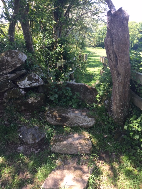
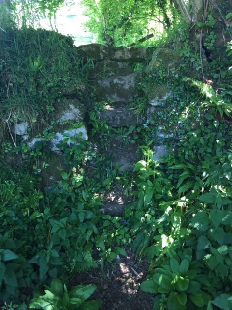
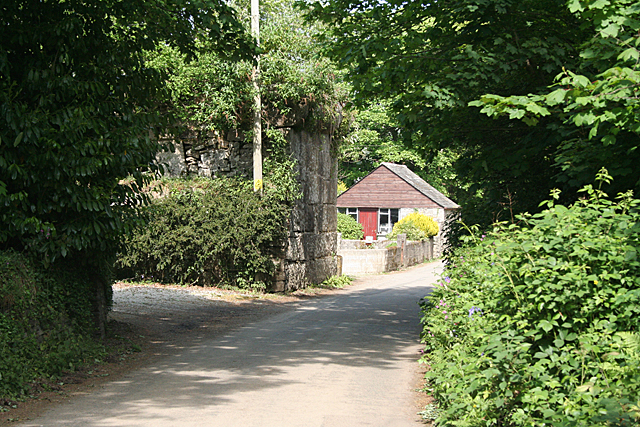
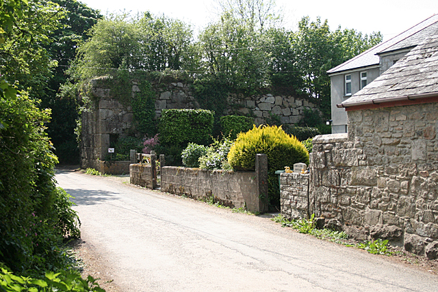
The village itself is comprised of a cluster of traditional stone cottages, each with their own unique character. These cottages are made from local materials, giving the village a distinct Cornish feel. Lavethan’s narrow winding lanes and charming footpaths make it a delight for visitors to explore on foot.

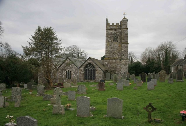
Lavethan is also home to a small chapel, St. Bartholomew’s, which is a hidden gem of the village. This medieval church features an intricately carved wooden interior and stained glass windows, offering a peaceful sanctuary for those seeking solace.

Visitors to Lavethan can immerse themselves in the area’s history by taking a guided tour of Lavethan House, or simply enjoy a leisurely stroll through its enchanting gardens. The village’s idyllic setting and well-preserved heritage make it a must-visit destination for history enthusiasts and nature lovers alike.

If you have any feedback on the listing, please let us know in the comments section below.
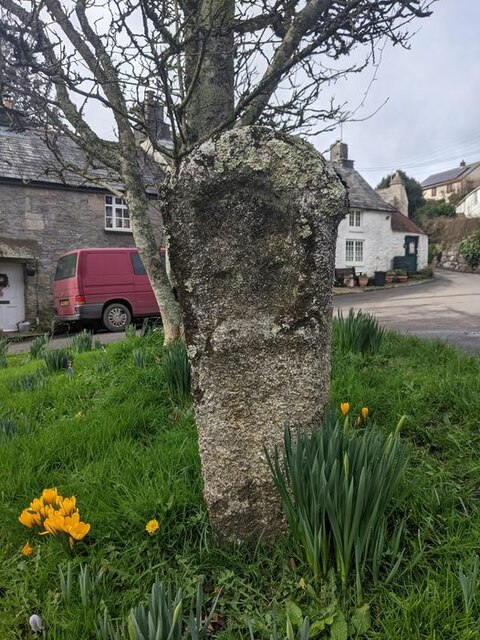
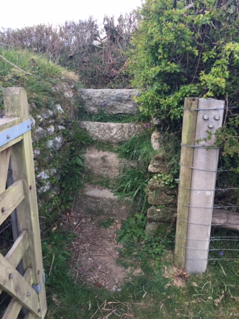
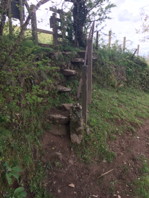
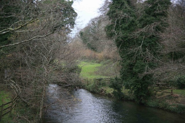
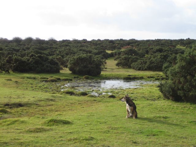
Lavethan Images

Images are sourced within 2km of 50.53/-4.688 or Grid Reference SX0973. Thanks to Geograph Open Source API. All images are credited.

Old Central Cross beside the green in Blisland Blisland Village Cross, the head and neck of an old wayside cross on a grass triangle beside the green where Tregenna Road joins the village main street in Blisland parish. Grade II Listed <span class="nowrap"><a title="https://historicengland.org.uk/listing/the-list/list-entry/1142366" rel="nofollow ugc noopener" href="https://historicengland.org.uk/listing/the-list/list-entry/1142366">Link</a><img style="margin-left:2px;" alt="External link" title="External link - shift click to open in new window" src="https://s1.geograph.org.uk/img/external.png" width="10" height="10"/></span>.  See also <span class="nowrap"><a title="http://www.flickr.com/photos/ocifant/2880305692" rel="nofollow ugc noopener" href="http://www.flickr.com/photos/ocifant/2880305692">Link</a><img style="margin-left:2px;" alt="External link" title="External link - shift click to open in new window" src="https://s1.geograph.org.uk/img/external.png" width="10" height="10"/></span>.

Milestone Society National ID: CWNC_BLI08
Old Central Cross beside the green in Blisland
Blisland Village Cross, the head and neck of an old wayside cross on a grass triangle beside the green where Tregenna Road joins the village main street in Blisland parish. Grade II Listed LinkExternal link. See also LinkExternal link. Milestone Society National ID: CWNC_BLI08
Stone Stile SX0873 At Tresarratt, opposite the junction of the roads from west towards St Mabyn, south to Bodmin, and east to Blisland.
West side: 6 stone steps consisting of 3 ‘new’ granite blocks and 3 original steps, with a slab top. East side: 2 original steps and the slab top.
This stile is at the lower, western end of FP No. 503/22/1, 2, 3 (Gold).
Together with the stile at 09234 73185 and the footpath up the hill and across fields in between, this stile gives a shortcut from the hamlet of Tresarrett to Blisland.
Stone Stile SX0873
At Tresarratt, opposite the junction of the roads from west towards St Mabyn, south to Bodmin, and east to Blisland. West side: 6 stone steps consisting of 3 ‘new’ granite blocks and 3 original steps, with a slab top. East side: 2 original steps and the slab top. This stile is at the lower, western end of FP No. 503/22/1, 2, 3 (Gold). Together with the stile at 09234 73185 and the footpath up the hill and across fields in between, this stile gives a shortcut from the hamlet of Tresarrett to Blisland.
Stone Stile SX0972 Up a steep slope above the White Cross to Tresarrett lane (south west of Blisland village). Access to the stile up the slope is up 4 concrete slab steps.
A cattle stile. Both Sides: 2 stone steps topped with a step on its side (with carpeting attached to a beam across the top to deter stock).
The stile is at the western end of FP No. 503/21/1 (Gold) which runs from Cock’s Penrose via the western edge of Lavethan Wood and a granite clapper bridge to Blisland Church. This is a shortcut to Blisland for the farm at Cock’s Penrose, and other nearby properties.
Stone Stile SX0972
Up a steep slope above the White Cross to Tresarrett lane (south west of Blisland village). Access to the stile up the slope is up 4 concrete slab steps. A cattle stile. Both Sides: 2 stone steps topped with a step on its side (with carpeting attached to a beam across the top to deter stock). The stile is at the western end of FP No. 503/21/1 (Gold) which runs from Cock’s Penrose via the western edge of Lavethan Wood and a granite clapper bridge to Blisland Church. This is a shortcut to Blisland for the farm at Cock’s Penrose, and other nearby properties.
Stone Stile SX0973a On the lane going westwards out of Blisland village towards Tresarrett.
Both sides: 3 granite steps and a slab top.
This stile is at the higher, eastern end of FP No. 503/22/1, 2, 3 (Gold).
Together with the stile at 08971 73115, in the hamlet of Tresarrett, this stile and the fields in between the stiles, give a shortcut between Blisland and Tresarrett.
Stone Stile SX0973a
On the lane going westwards out of Blisland village towards Tresarrett. Both sides: 3 granite steps and a slab top. This stile is at the higher, eastern end of FP No. 503/22/1, 2, 3 (Gold). Together with the stile at 08971 73115, in the hamlet of Tresarrett, this stile and the fields in between the stiles, give a shortcut between Blisland and Tresarrett.
Stone Stile SX0973b On the narrow lane that leads downhill from Tregenna (north west of Blisland) to Tregaddick.
Badly maintained, overgrown stile, which, at a guess, comprises three/four steps on both sides topped with another step on its side.
This stile gives access into a field and is part of FP No. 593/1/1 (Bronze). However, at its far end, it goes through the grounds of a property called ‘Tremasden’ at Keybridge, where the path has become overgrown with bushes etc. and ends at the de Lank River, with no official access to the nearby lane. It has therefore become unused.
Stone Stile SX0973b
On the narrow lane that leads downhill from Tregenna (north west of Blisland) to Tregaddick. Badly maintained, overgrown stile, which, at a guess, comprises three/four steps on both sides topped with another step on its side. This stile gives access into a field and is part of FP No. 593/1/1 (Bronze). However, at its far end, it goes through the grounds of a property called ‘Tremasden’ at Keybridge, where the path has become overgrown with bushes etc. and ends at the de Lank River, with no official access to the nearby lane. It has therefore become unused.
Stone Stile SX0974a Accessed across two fields from the hamlet of Pendrift (north of Blisland) at the top of the hill leading down to the valley known as Pendrift Bottoms.
A steep sheep stile with a metal handrail - held in place by one metal and two wooden upright posts - to assist its use. It consists of 4 steps set into the stone face of the hedge - the top step holds the upright of the handrail - with 2, widely spaced, stone steps below these, and one stone set in the earth at the bottom to aid access.
On FP No. 593/3/1 (Gold). The path originally gave quarry workers a short cut from Blisland and its surrounding hamlets to the de Lank quarry.
Stone Stile SX0974a
Accessed across two fields from the hamlet of Pendrift (north of Blisland) at the top of the hill leading down to the valley known as Pendrift Bottoms. A steep sheep stile with a metal handrail - held in place by one metal and two wooden upright posts - to assist its use. It consists of 4 steps set into the stone face of the hedge - the top step holds the upright of the handrail - with 2, widely spaced, stone steps below these, and one stone set in the earth at the bottom to aid access. On FP No. 593/3/1 (Gold). The path originally gave quarry workers a short cut from Blisland and its surrounding hamlets to the de Lank quarry.
Stone Stile SX0974b Beside a field gate linking fields at Pendrift.
North Side: A stone slab on the ground and two steps and a top stone on its edge.
South Side: Three steps and a top stone slightly below the top stone on the north side.
Public footpath 503/2/1 silver from Pendrift to Tregenna.
Stone Stile SX0974b
Beside a field gate linking fields at Pendrift. North Side: A stone slab on the ground and two steps and a top stone on its edge. South Side: Three steps and a top stone slightly below the top stone on the north side. Public footpath 503/2/1 silver from Pendrift to Tregenna.
Stone Stile SX0974c Between two wooden stiles and beside a stream that divides the fields on the Pendrift side of the stream from the fields on the Tregenna side of the stream.
North Side: A high stile that consists of a bank up from the stream then six stone steps of varying widths and distances between the steps and a top pillar stone on its side. South Side: Four steps up to the shared top pillar stone
Public footpath 503/2/1 silver from Pendrift to Tregenna.
Stone Stile SX0974c
Between two wooden stiles and beside a stream that divides the fields on the Pendrift side of the stream from the fields on the Tregenna side of the stream. North Side: A high stile that consists of a bank up from the stream then six stone steps of varying widths and distances between the steps and a top pillar stone on its side. South Side: Four steps up to the shared top pillar stone Public footpath 503/2/1 silver from Pendrift to Tregenna.
Blisland: The Blisland Inn CAMRA's national pub of the year in 2001 and still a very popular meeting place ten years later
Blisland: The Blisland Inn
CAMRA's national pub of the year in 2001 and still a very popular meeting place ten years later
St Breward: at Lower Lank In the centre of the image stands the granite abutment for a railway bridge which once carried the De Lank tramway from De Lank quarries to a branch of the Bodmin and Wadebridge railway at Wenfordbridge. From Lower Lank to Wenfordbridge the line descended into the Camel valley and was worked by an inclined plane, loaded wagons linked to a cable moved under gravity, pulling empties up the gradient
St Breward: at Lower Lank
In the centre of the image stands the granite abutment for a railway bridge which once carried the De Lank tramway from De Lank quarries to a branch of the Bodmin and Wadebridge railway at Wenfordbridge. From Lower Lank to Wenfordbridge the line descended into the Camel valley and was worked by an inclined plane, loaded wagons linked to a cable moved under gravity, pulling empties up the gradient
St Breward: lane to De Lank quarries As I recall, the granite stone on the right carries the message: 'De Lank Quarry'
St Breward: lane to De Lank quarries
As I recall, the granite stone on the right carries the message: 'De Lank Quarry'
St Breward: by Lower Lank Cottage Embanked incline plane and granite abutment for now vanished bridge over lane at Lower Lank, St Breward parish. The embankment was part of a tramway connecting the De Lank quarries with Wenfordbridge in the Camel valley below, where it connected with a branch of the Bodmin and Wadebridge railway. In St Breward parish
St Breward: by Lower Lank Cottage
Embanked incline plane and granite abutment for now vanished bridge over lane at Lower Lank, St Breward parish. The embankment was part of a tramway connecting the De Lank quarries with Wenfordbridge in the Camel valley below, where it connected with a branch of the Bodmin and Wadebridge railway. In St Breward parish
North Cornwall : Country Road & Tractor A tractor heads down the country road towards Trevessick.
North Cornwall : Country Road & Tractor
A tractor heads down the country road towards Trevessick.
North Cornwall : Country Road This country road heads up towards Penrose.
North Cornwall : Country Road
This country road heads up towards Penrose.
North Cornwall : Cock's Penrose A small cottage near Penrose Farm here in North Cornwall.
North Cornwall : Cock's Penrose
A small cottage near Penrose Farm here in North Cornwall.
North Cornwall : River Camel Crossing the River Camel on one of the country lanes in North Cornwall.
North Cornwall : River Camel
Crossing the River Camel on one of the country lanes in North Cornwall.
North Cornwall : Farmland & Caravan A caravan and a man on a digger in a yard in the countryside of North Cornwall.
North Cornwall : Farmland & Caravan
A caravan and a man on a digger in a yard in the countryside of North Cornwall.
The bridge at Wenford The bridge crosses the River Camel; there are road junctions on each side of the bridge, showing how routes converge on the river crossing.
The bridge at Wenford
The bridge crosses the River Camel; there are road junctions on each side of the bridge, showing how routes converge on the river crossing.
Show me another place!

Lavethan is located at Grid Ref: SX0973 (Lat: 50.53, Lng: -4.688)

Unitary Authority: Cornwall

Police Authority: Devon and Cornwall

What 3 Words

///erupted.should.silver. Near Helland, Cornwall

Related Wikis

Blisland

Blisland (Cornish: Blyslann) is a village and civil parish in Cornwall, England, United Kingdom. It is approximately five miles northeast of Bodmin. According...

St Protus and St Hyacinth's Church, Blisland

St Protus and St Hyacinth's Church, Blisland is a Grade I listed parish church in the Church of England in Blisland, Cornwall, England, UK. == History... ==

Tresarrett

Tresarrett is a hamlet in the parish of Blisland, Cornwall, England, United Kingdom. It is in the valley of the River Camel south of Wenfordbridge. �...

Pendrift

Pendrift is a hamlet north of Blisland in Cornwall, England. == References ==

Nearby Amenities

Located within 500m of 50.53,-4.688
Blisland
Name En: Blisland
Name Kw: Blus
Place: village
Lat/Long: 50.5277717/-4.6819105
Bus Stop
Bus Shelter
Bus: yes
Naptan AtcoCode: 0800COD41344
Naptan Bearing: NW
Naptan BusStopType: CUS
Naptan CommonName: Bus Shelter
Naptan Indicator: NW-bound
Naptan NaptanCode: cordmpwm
Naptan Street: The Green
Naptan Verified: no
Public Transport: platform
Source: naptan_import
Lat/Long: 50.5275794/-4.6824306
Bus Stop
Bus Shelter
Bus: yes
Naptan AtcoCode: 0800COD41345
Naptan Bearing: SE
Naptan CommonName: Bus Shelter
Naptan Indicator: opp
Naptan NaptanCode: cordmpwt
Naptan Street: The Green
Naptan Verified: no
Public Transport: platform
Source: naptan_import
Lat/Long: 50.527626/-4.6823627
Turning Circle
Lat/Long: 50.5294379/-4.6828147
Give Way
Lat/Long: 50.5280629/-4.6827867
Give Way
Lat/Long: 50.5280959/-4.6831461
Give Way
Lat/Long: 50.5293316/-4.681508
Turning Circle
Lat/Long: 50.5327817/-4.6926382
Power: pole
Lat/Long: 50.5336442/-4.6850321
Power: pole
Lat/Long: 50.5337224/-4.6865717
Power: pole
Lat/Long: 50.5337645/-4.6883156
Power: pole
Lat/Long: 50.5338261/-4.6898655
Power: pole
Lat/Long: 50.530091/-4.6816259
Power: pole
Lat/Long: 50.5296849/-4.6828523
Power: pole
Lat/Long: 50.5295812/-4.6842509
Power: pole
Lat/Long: 50.5295177/-4.6848479
Power: pole
Lat/Long: 50.5294034/-4.6862047
Power: pole
Lat/Long: 50.5290506/-4.6871176
Power: pole
Lat/Long: 50.5286464/-4.6882174
Power: pole
Lat/Long: 50.5282134/-4.6887427
Power: pole
Lat/Long: 50.5276254/-4.6894503
Power: pole
Lat/Long: 50.5276533/-4.6872438
Power: pole
Lat/Long: 50.527261/-4.6862102
Power: pole
Lat/Long: 50.5267435/-4.6848372
Power: pole
Lat/Long: 50.5270828/-4.6900965
Power: pole
Lat/Long: 50.5267833/-4.690474
Power: pole
Lat/Long: 50.5264324/-4.6916442
Turning Circle
Lat/Long: 50.5287476/-4.6845801
Telephone
Booth: K6
Covered: booth
Listed Status: Grade II
Lat/Long: 50.5281034/-4.6829217
Power: pole
Lat/Long: 50.531666/-4.6850608
Power: pole
Lat/Long: 50.5320824/-4.6850564
Power: pole
Lat/Long: 50.5328964/-4.6850423
The data included in this document is from www.openstreetmap.org. The data is made available under ODbL.

Have you been to Lavethan?

Leave your review of Lavethan below (or comments, questions and feedback).